Von Rottersdorf auf den Großen und den Hohen Kölbling

Randonnée


Dates des itinéraires
6,17km
273
- 339m
94hm
94hm
01:30h
- Brève description
-
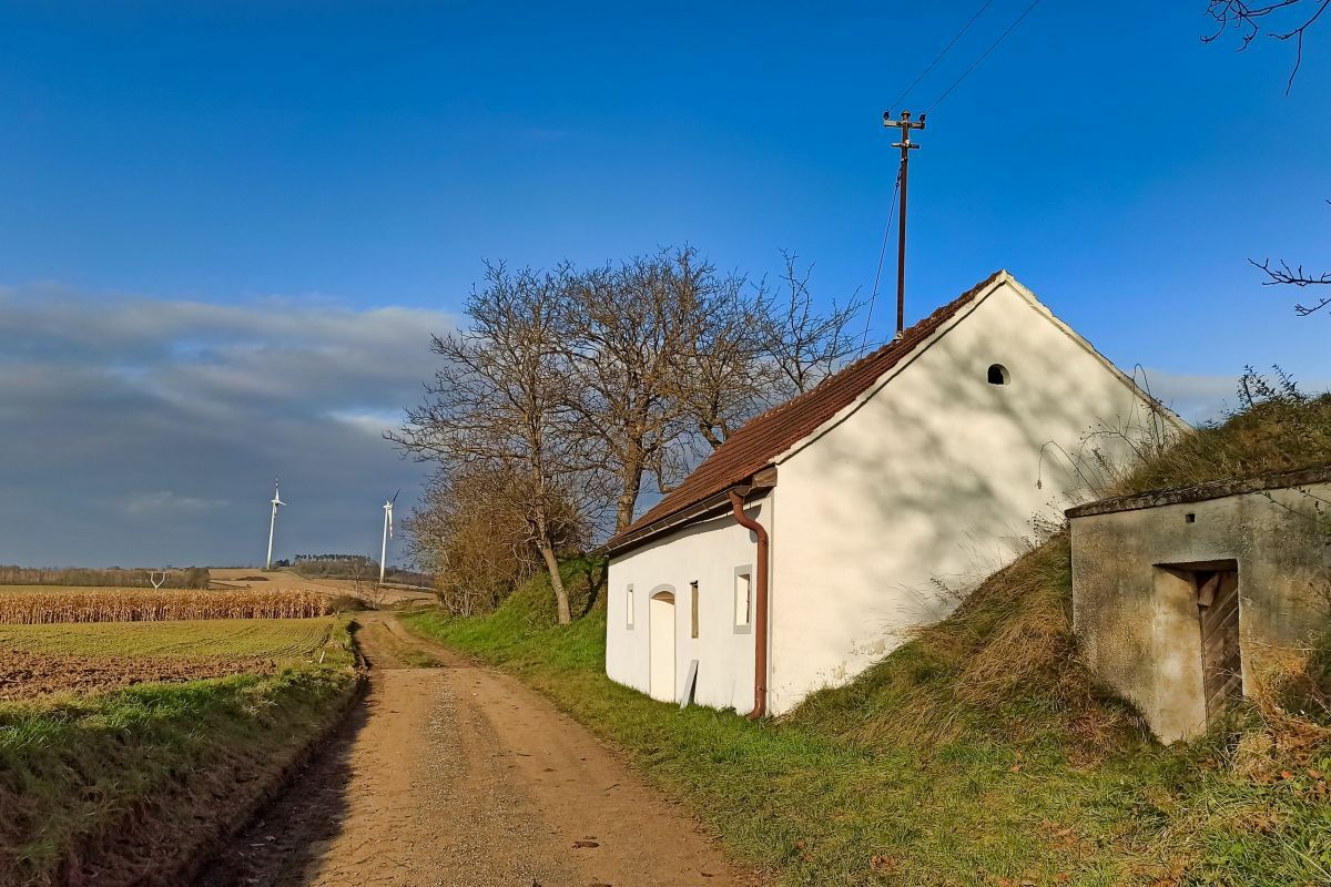
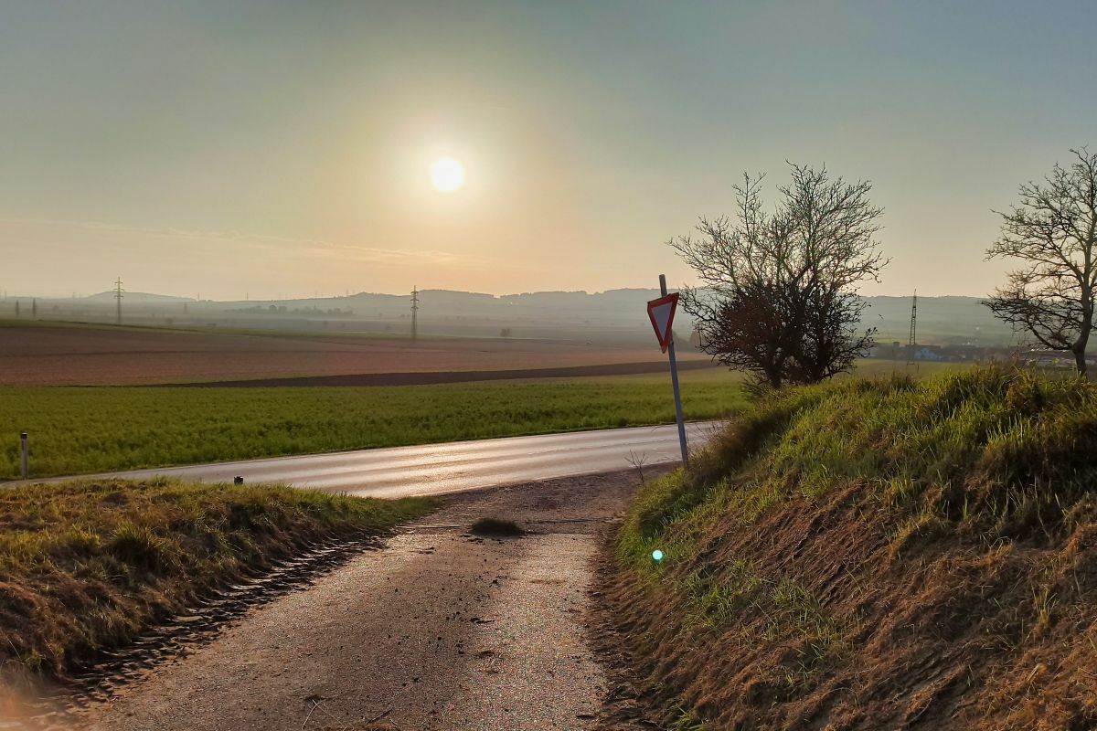
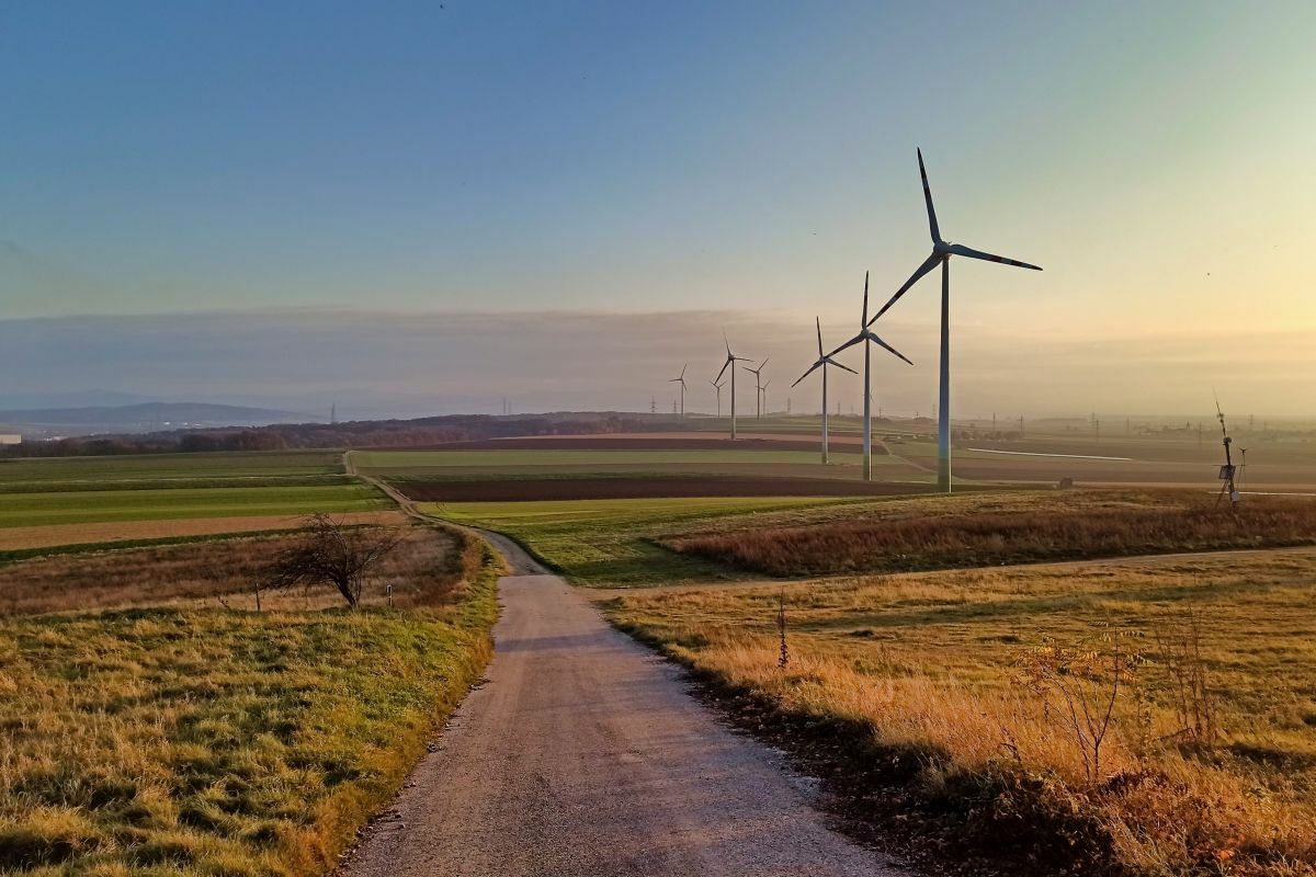
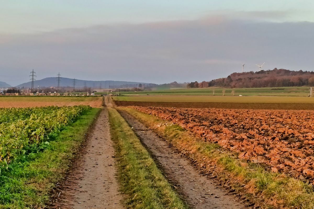
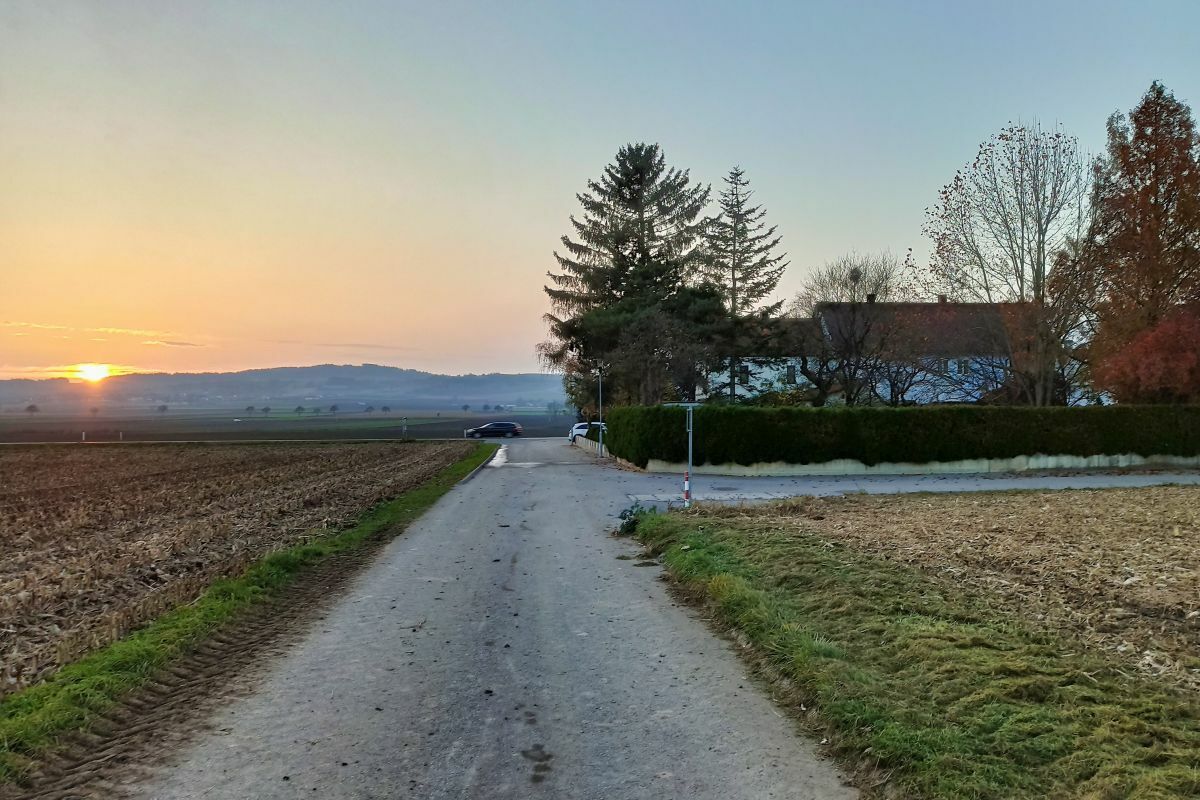
Eine anderthalbstündige Rundwanderung im Fladnitztal.
- Difficulté
-
facile
- Évaluation
-
- Point de départ
-
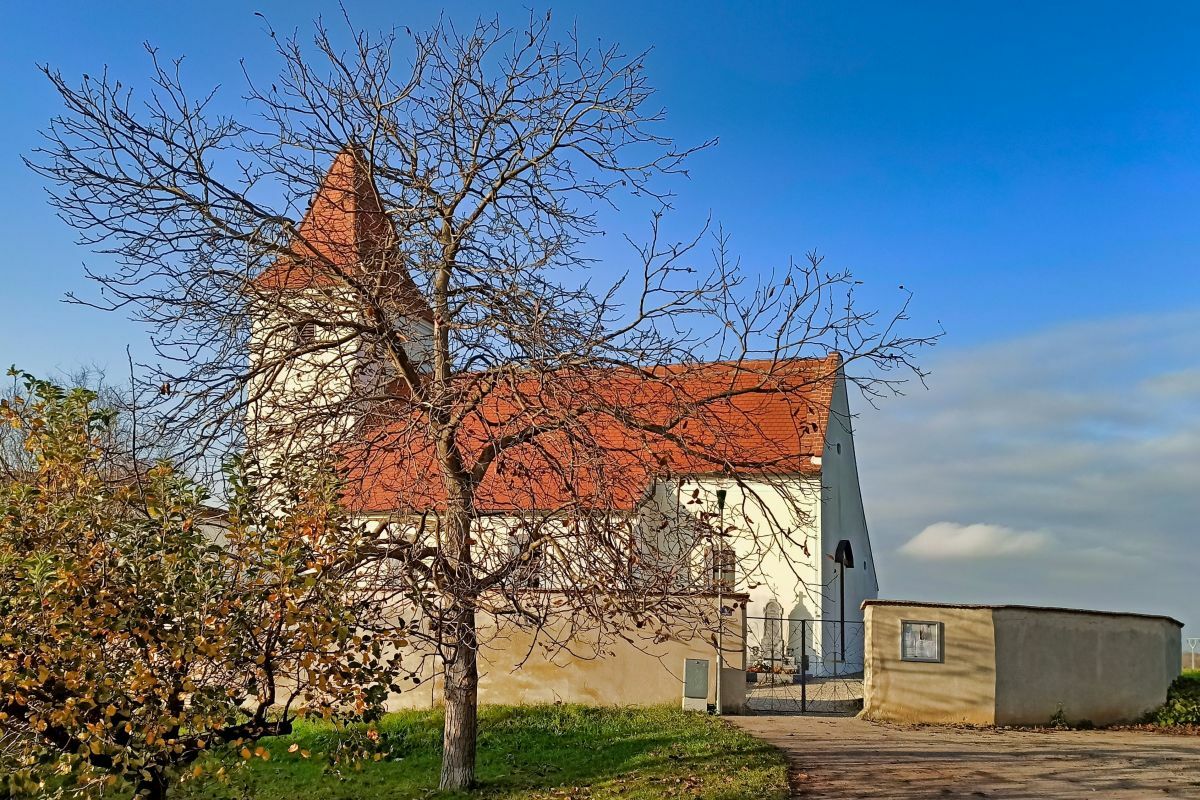
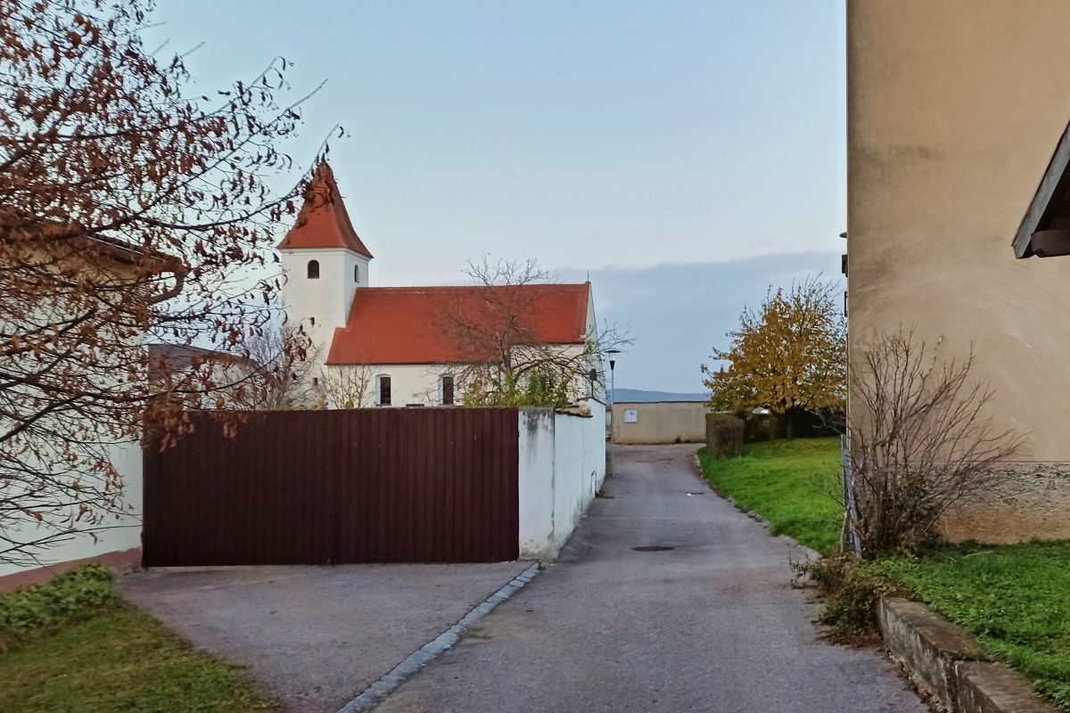
Kirche Rottersdorf
- Parcours
-
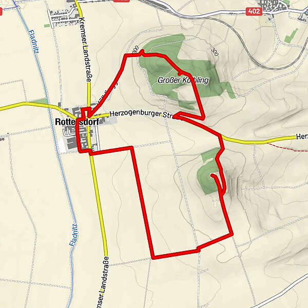
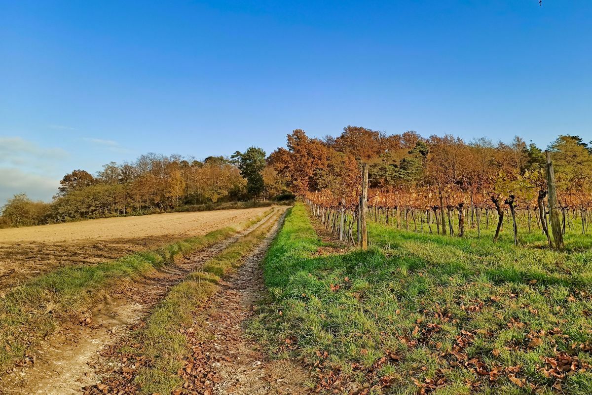
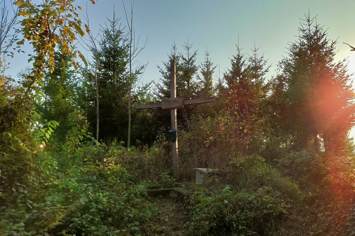
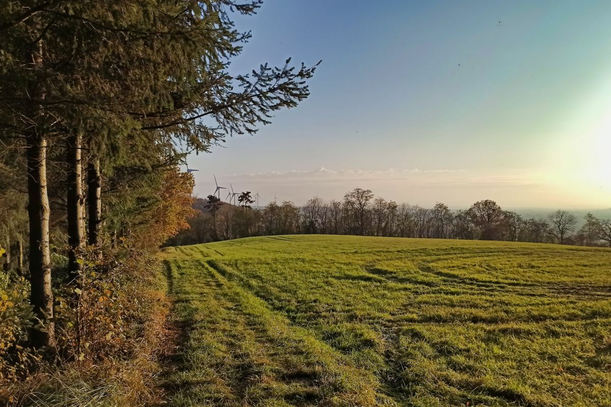
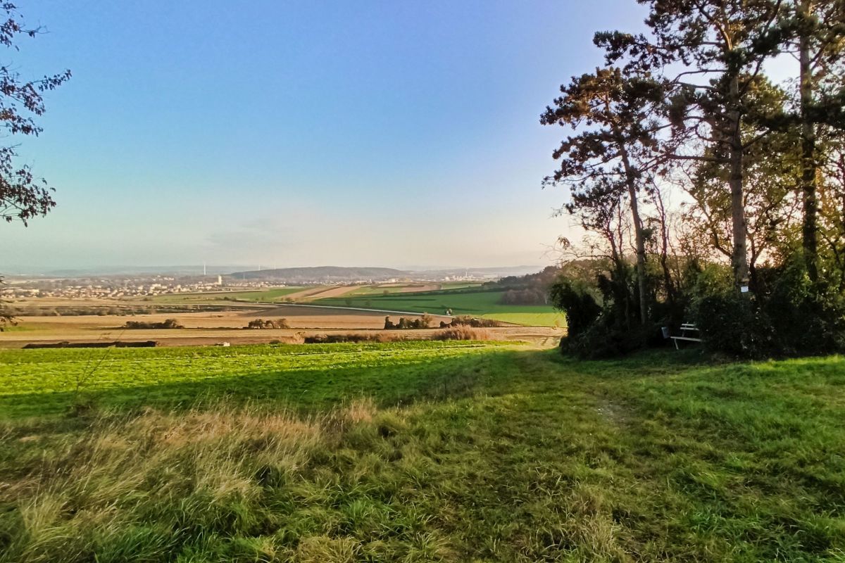
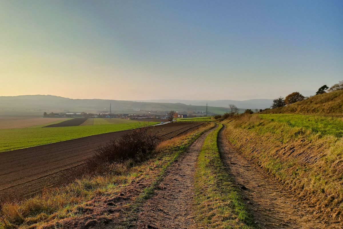
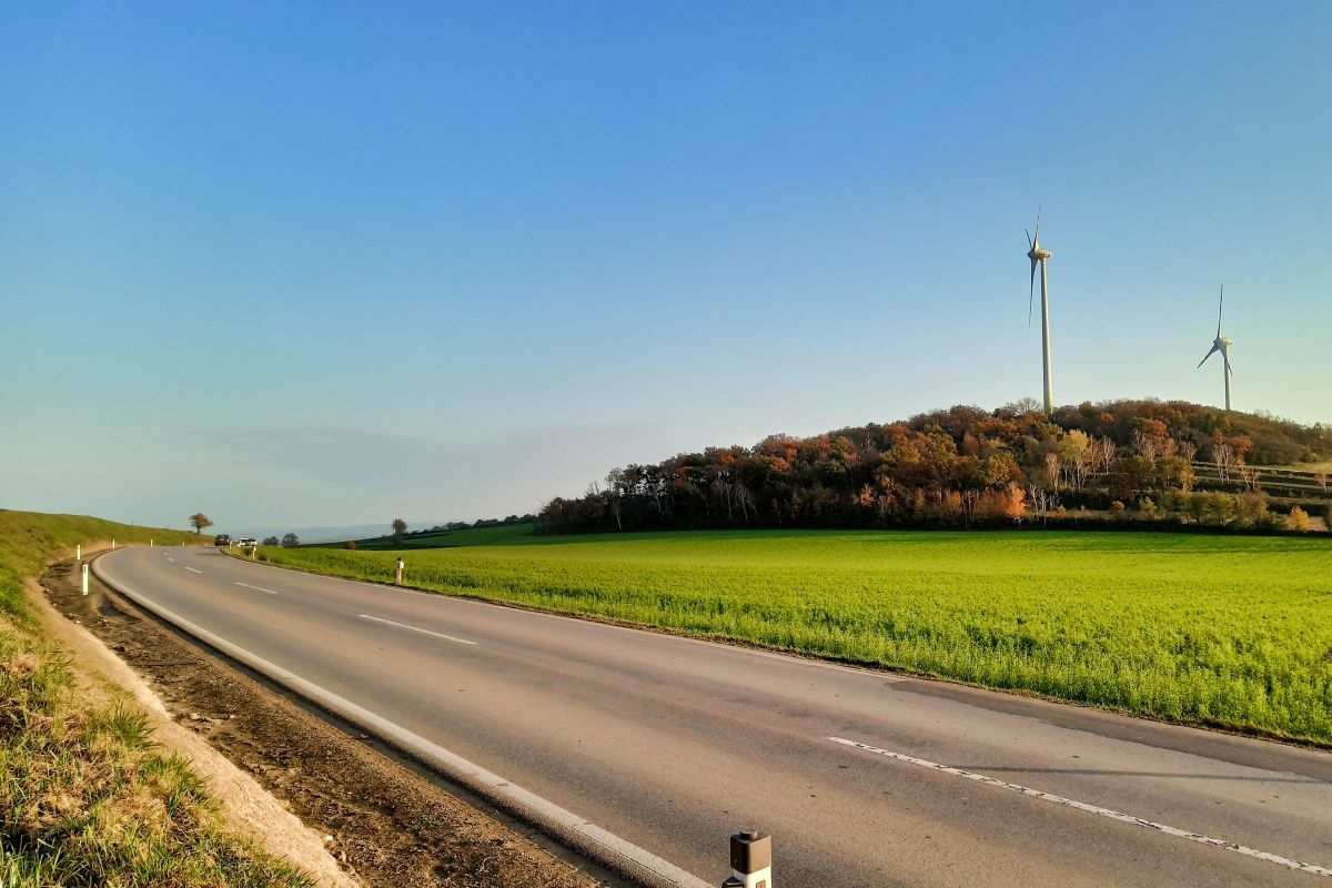
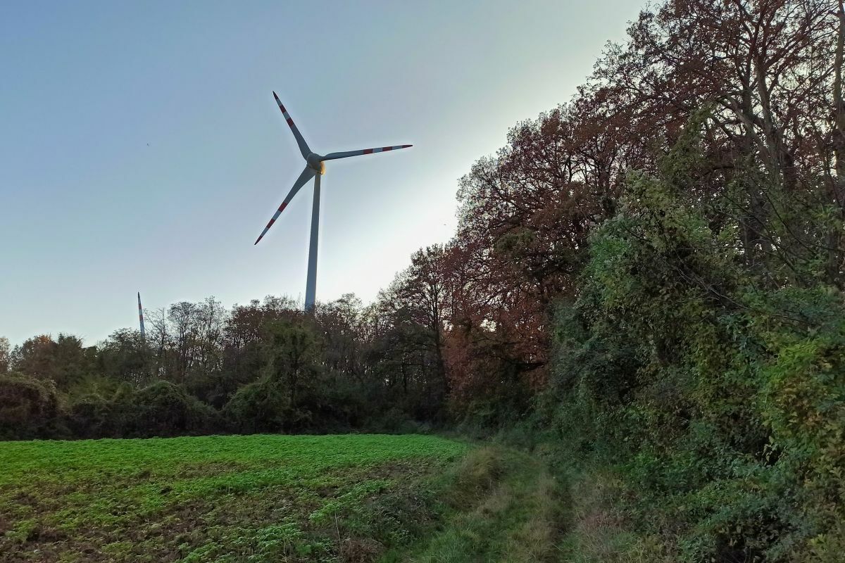
Filialkirche RottersdorfGroßer Kölbling (345 m)1,2 kmHoher Kölbling (355 m)3,1 kmRottersdorf6,0 kmFilialkirche Rottersdorf6,1 km
- Meilleure saison
-
janv.févr.marsavrilmaijuinjuil.aoûtsept.oct.nov.déc.
- Hauteur maximale
- 339 m
- Point de mire
-
Kirche Rottersdorf
- Source
- Weinbergwandern.at
GPS Downloads


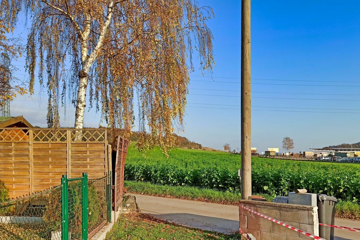
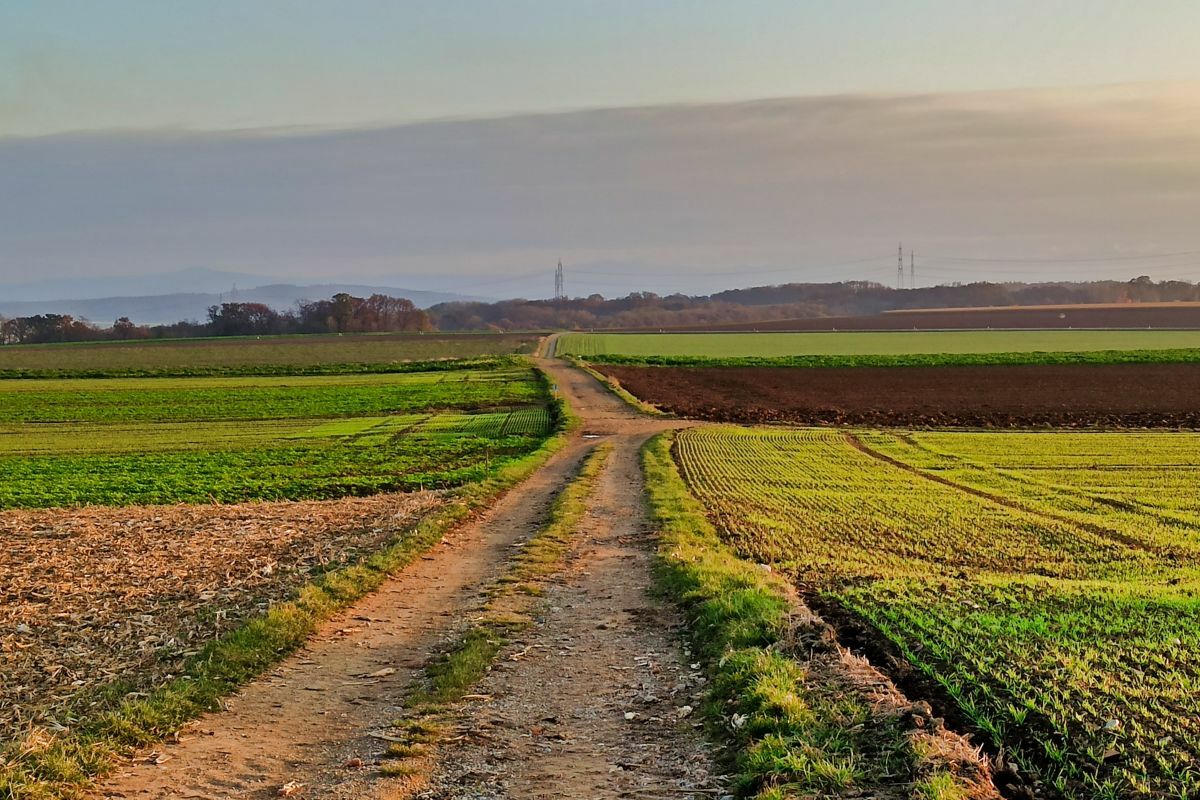
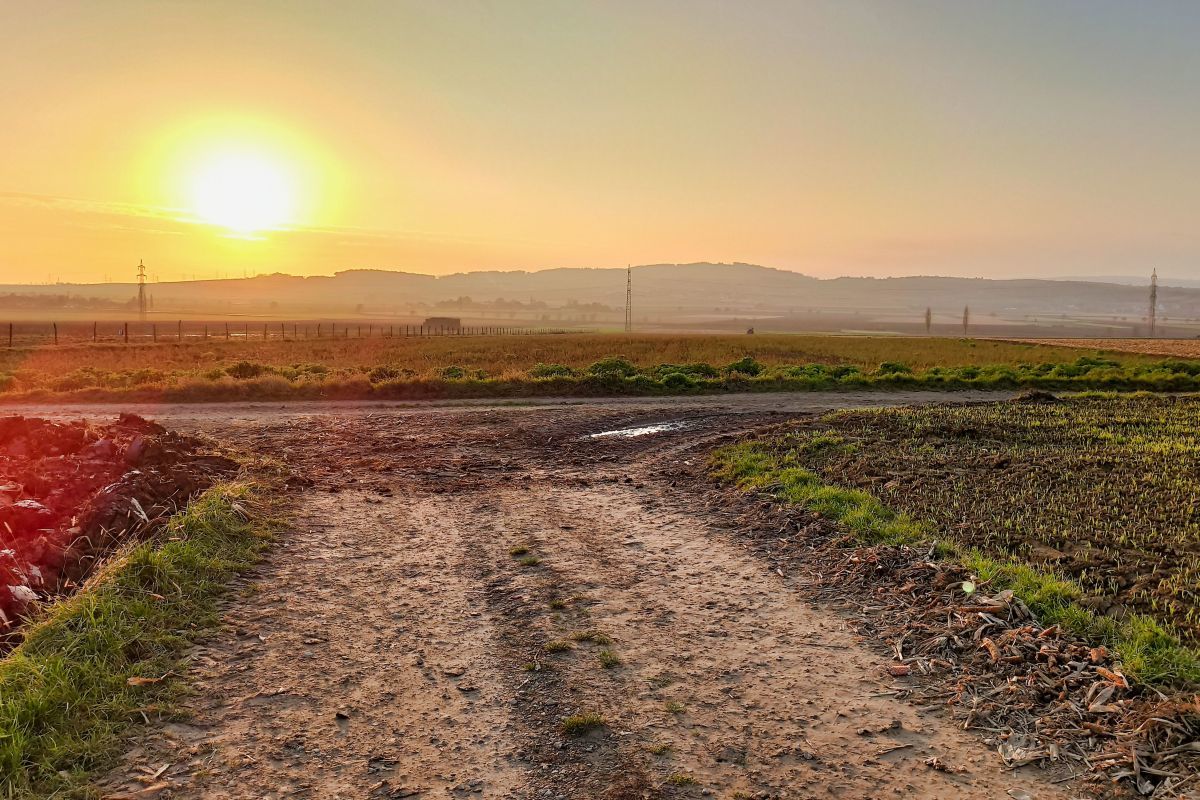
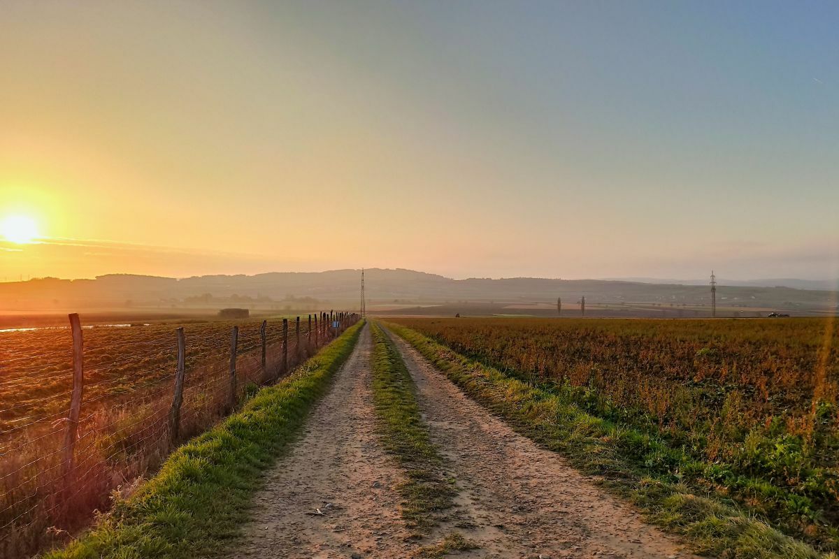
Nature du chemin
Asphalte
Gravier
Pelouse
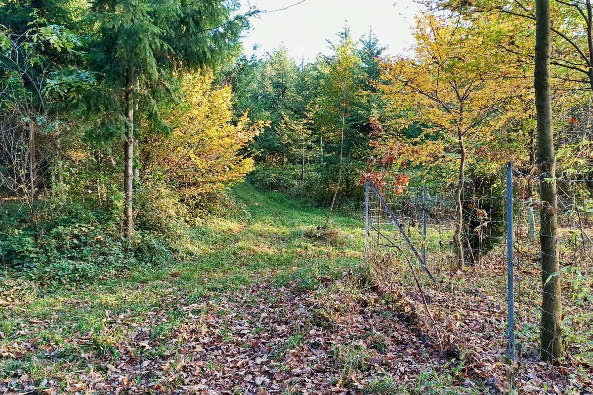
Forêt
Rocher
Exposé
Autres parcours dans les régions
-
Donau Niederösterreich
2289
-
Traisental - Donauland
1197
-
Statzendorf
497


