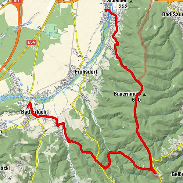
Wiener Alpenbogen: Etappe 1, Katzelsdorf - Bad Erlach

Randonnée

© gert gasperin

© gert gasperin

© gert gasperin

© gert gasperin

© gert gasperin

© gert gasperin

© gert gasperin

© gert gasperin

© gert gasperin

© gert gasperin
Dates des itinéraires
22,92km
278
- 733m
638hm
602hm
08:00h
- Difficulté
-
facile
- Évaluation
-
- Parcours
-
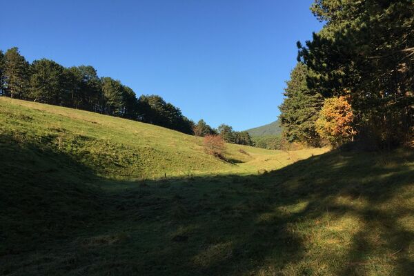
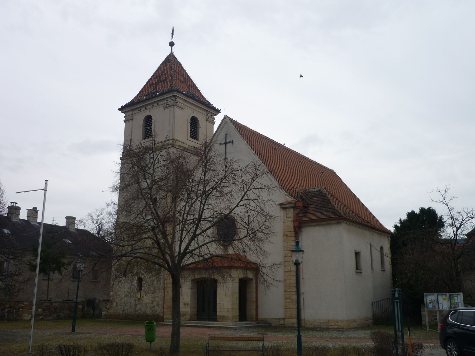
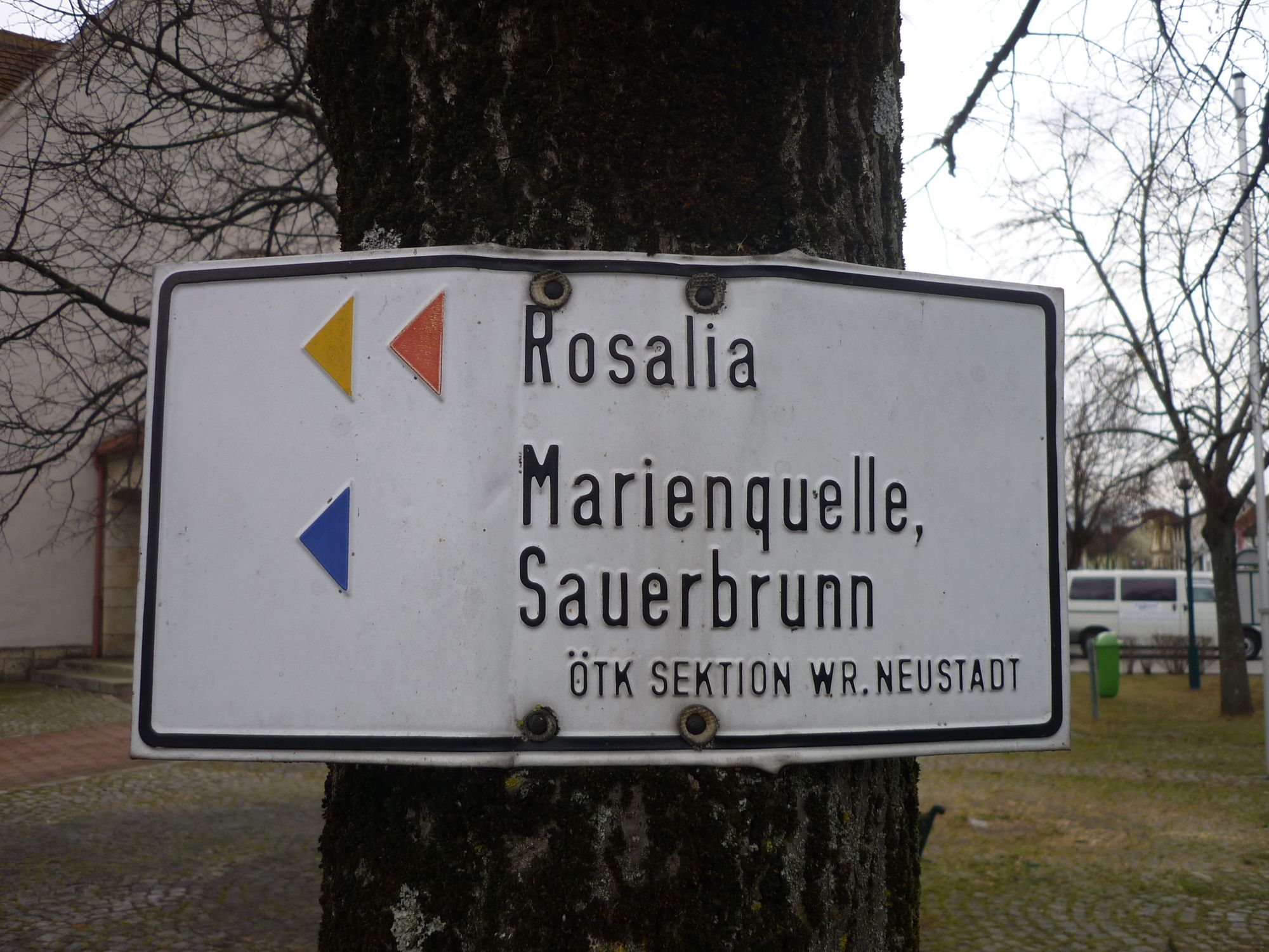
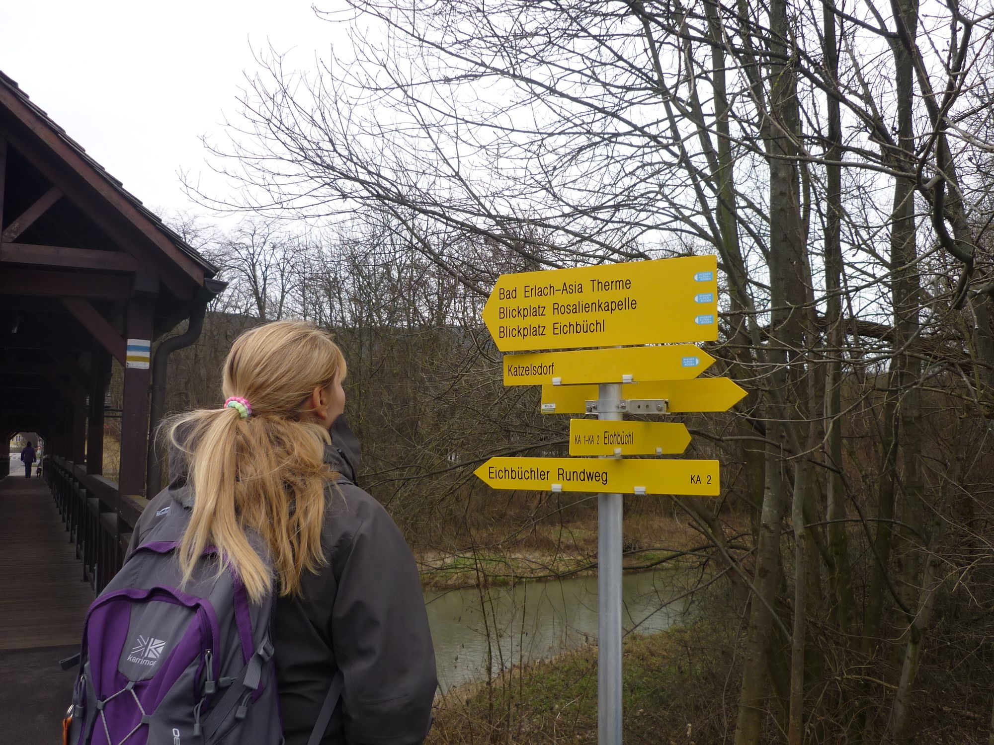
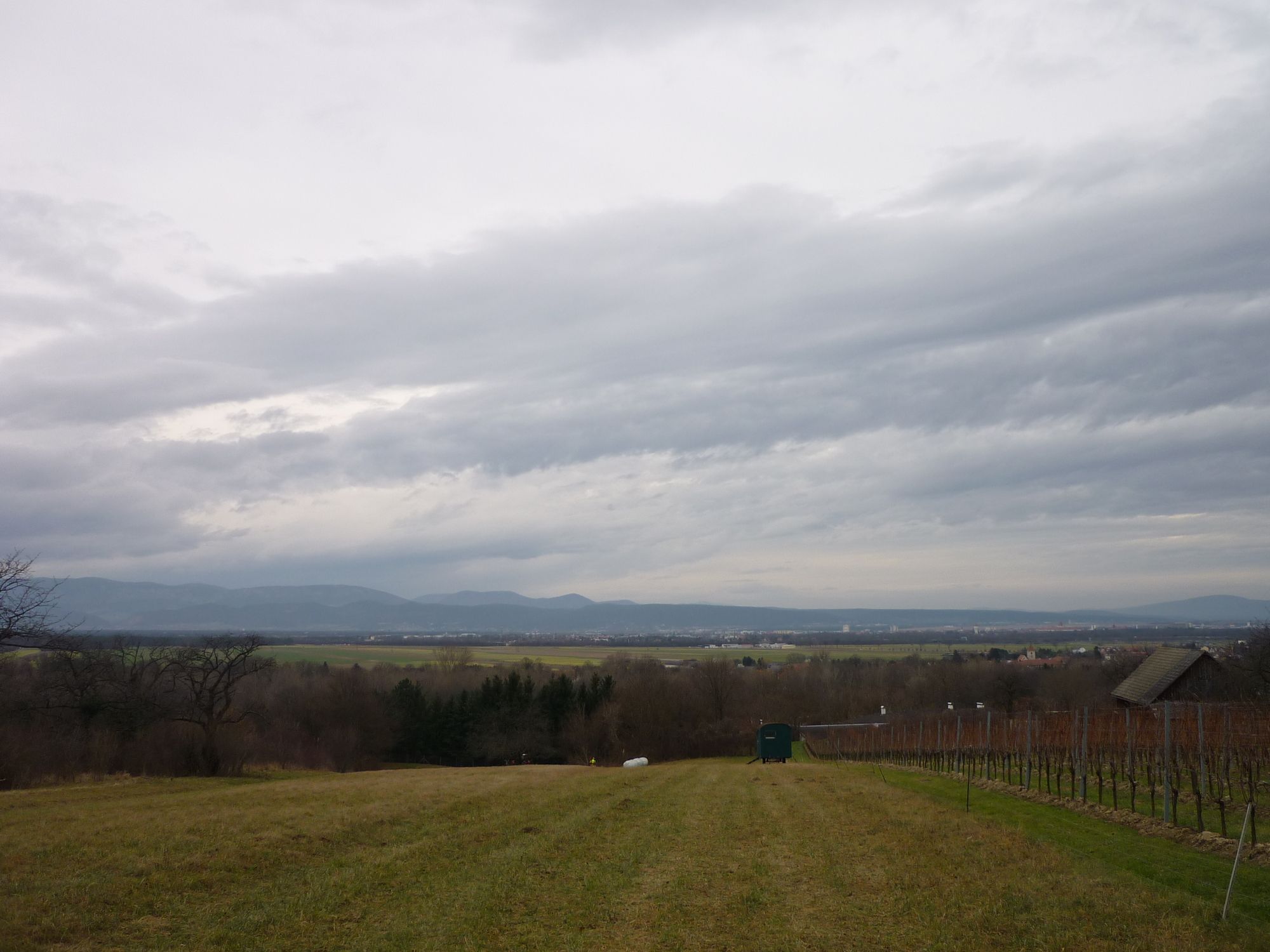
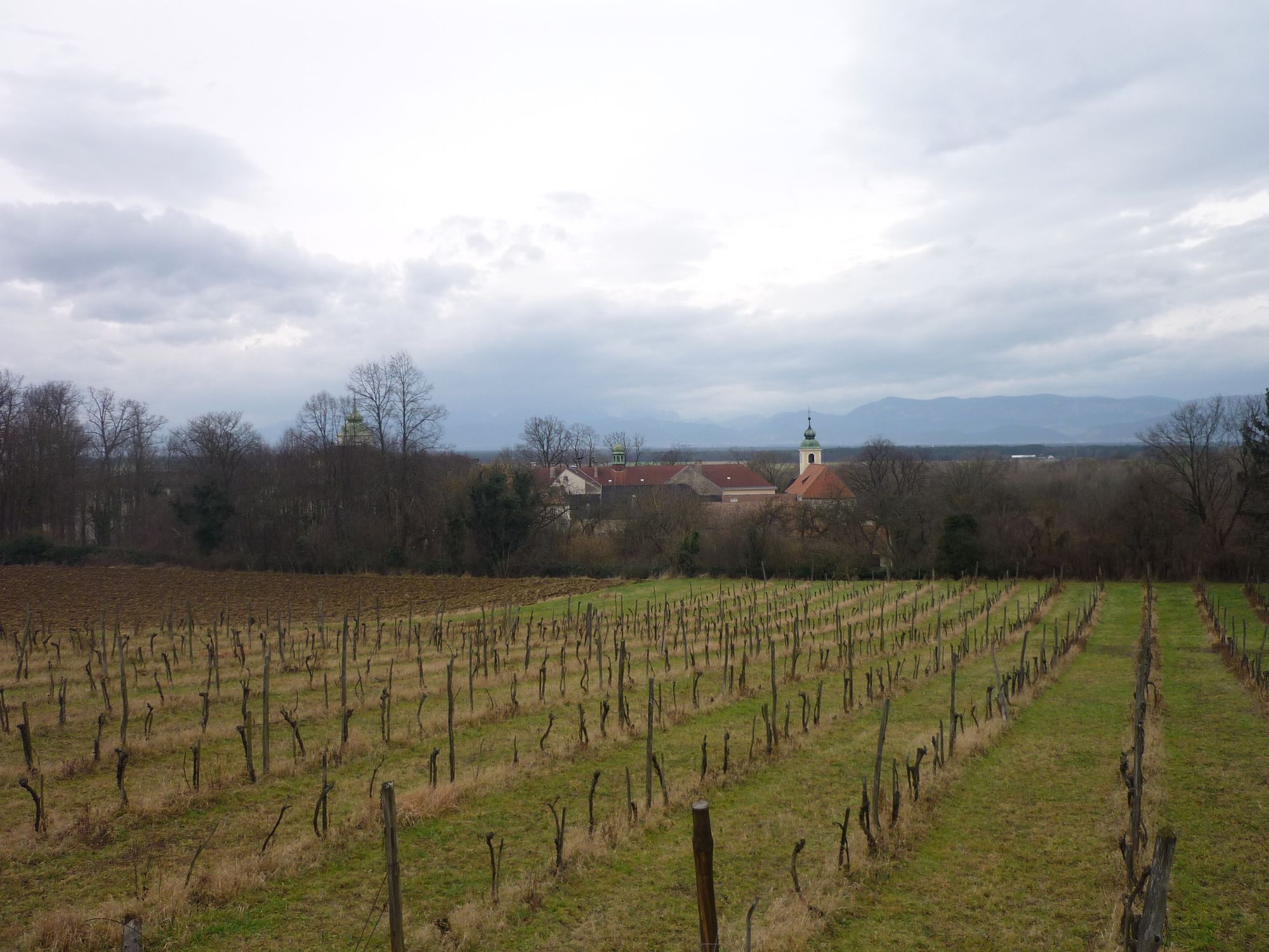
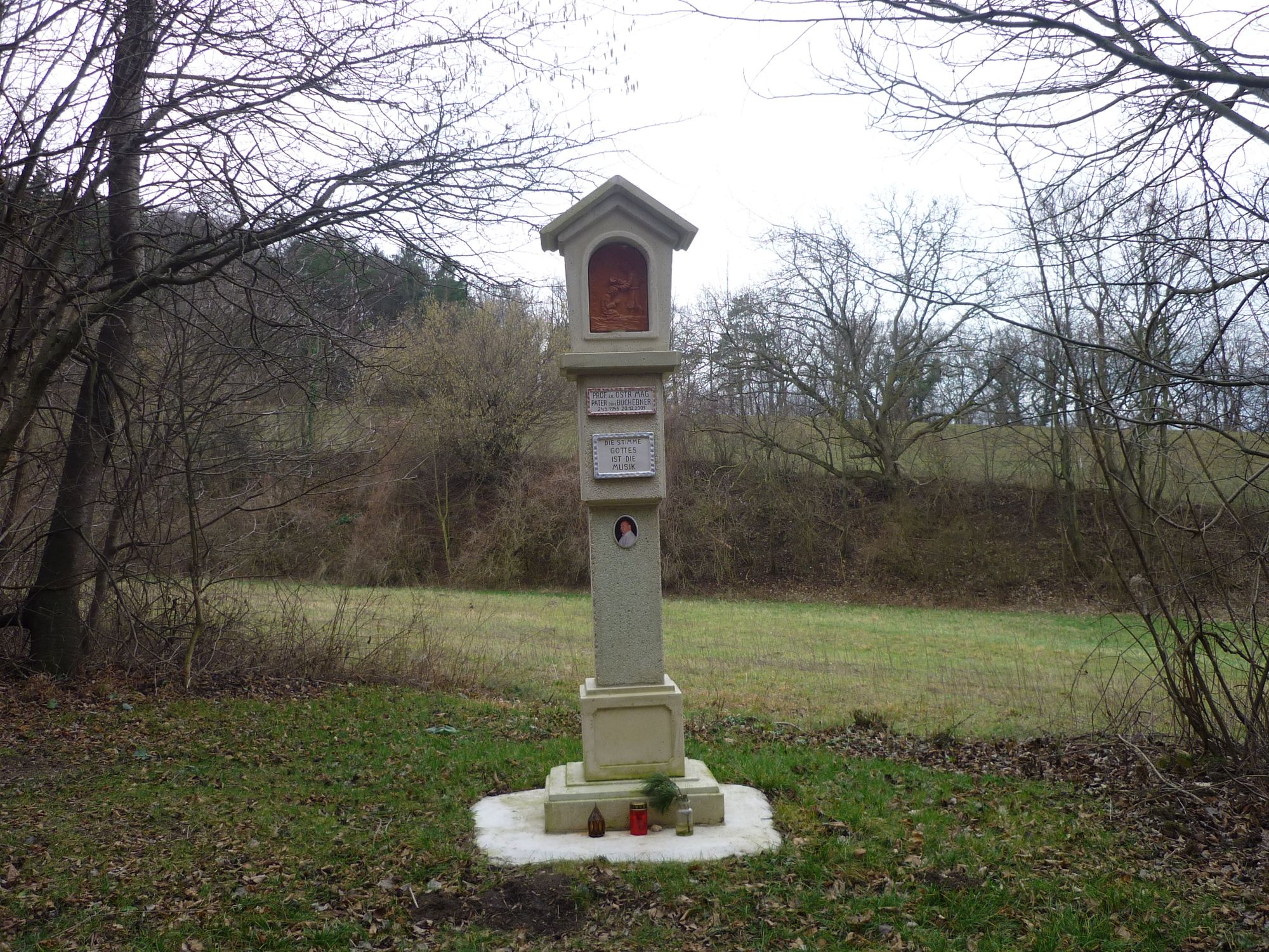
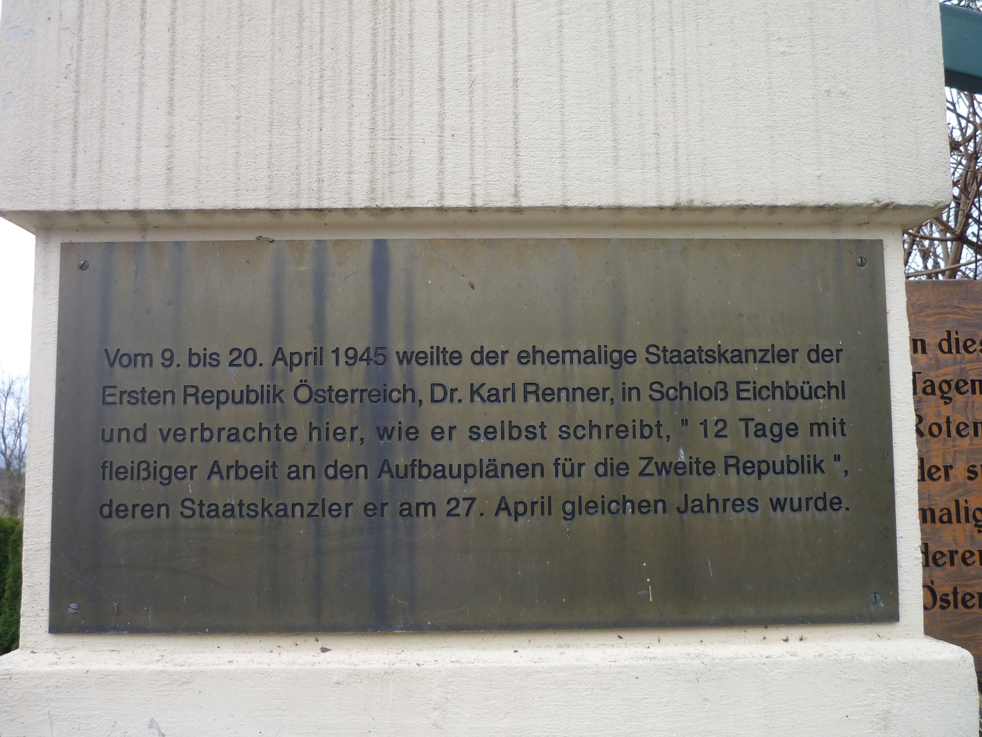
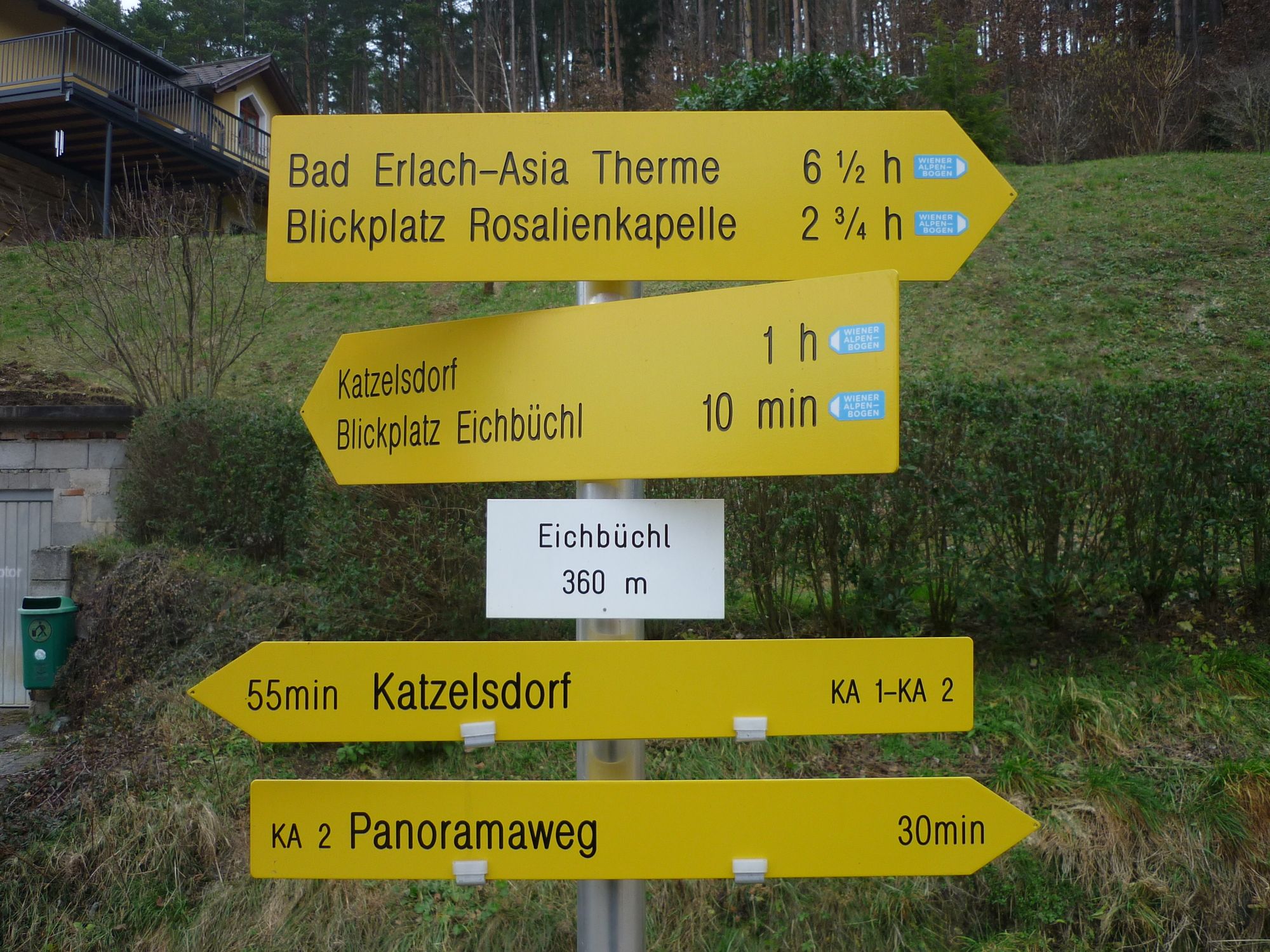
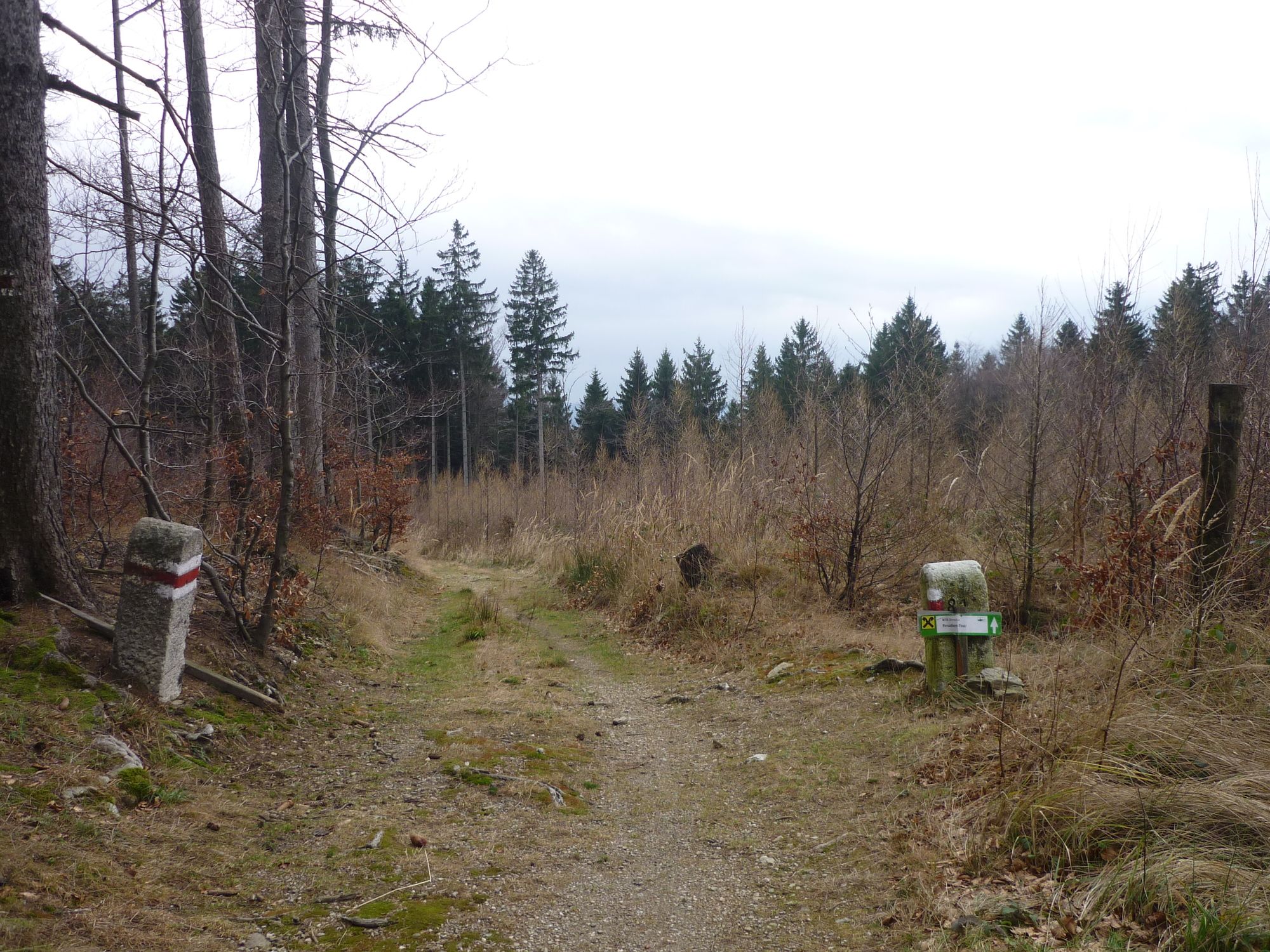
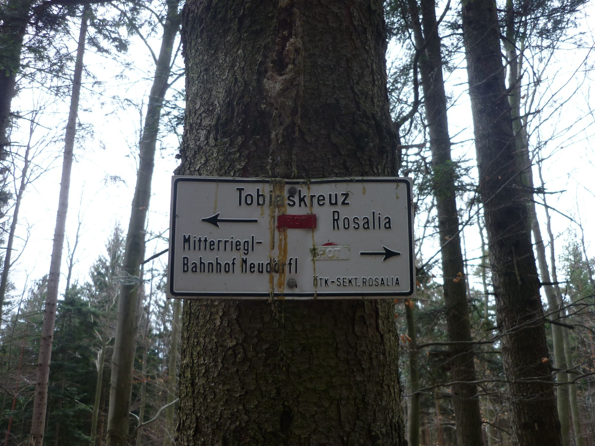
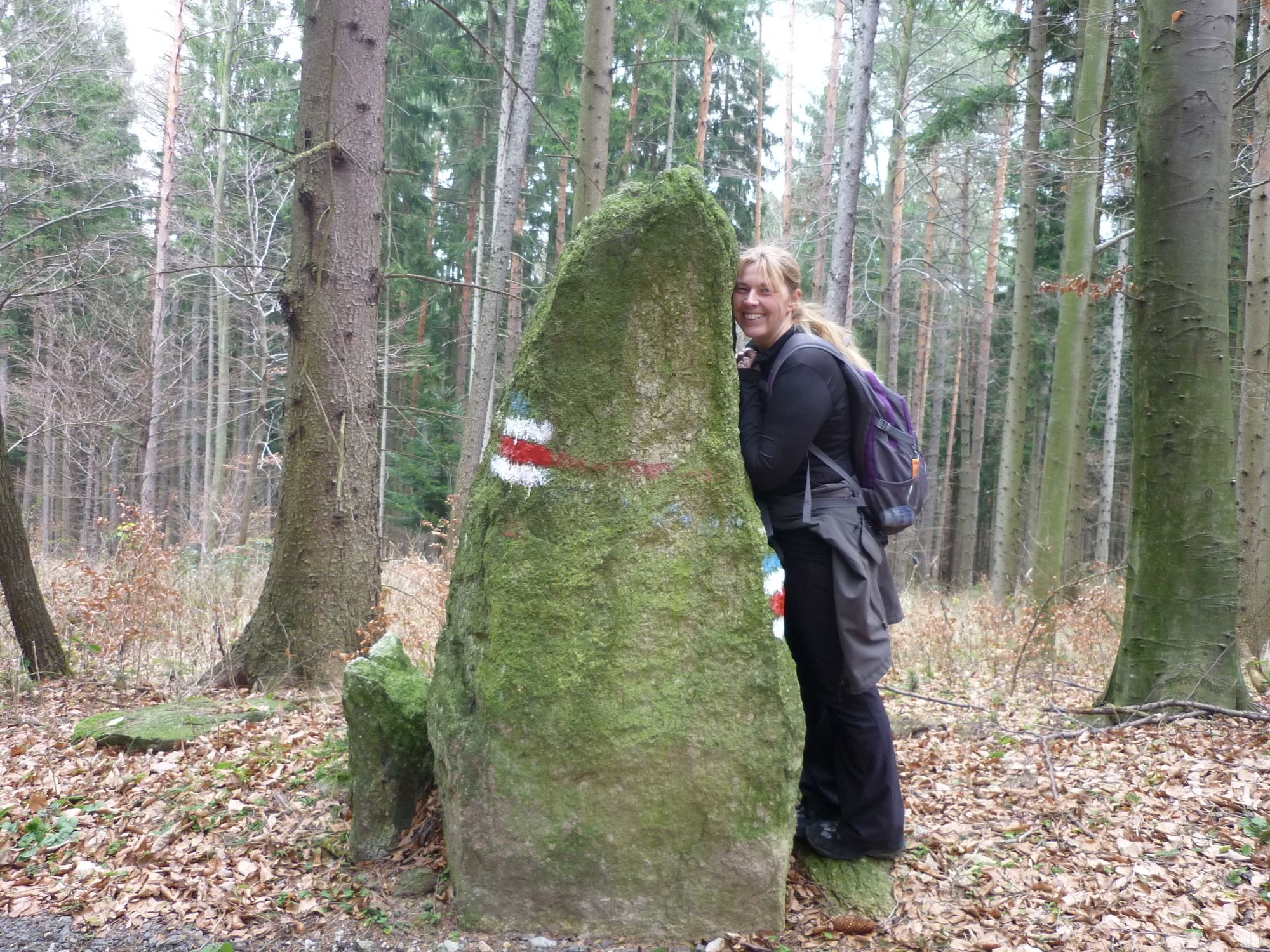
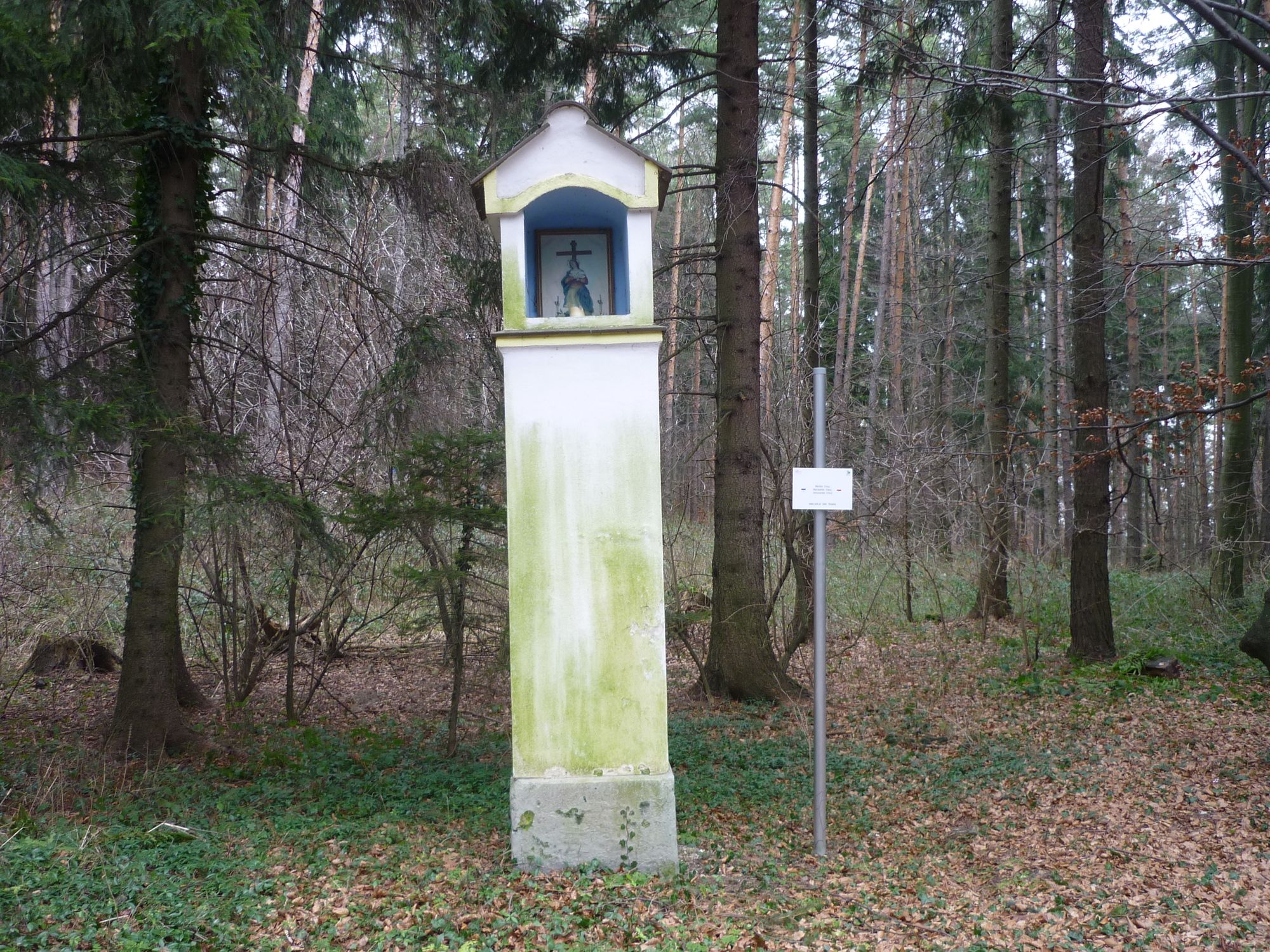
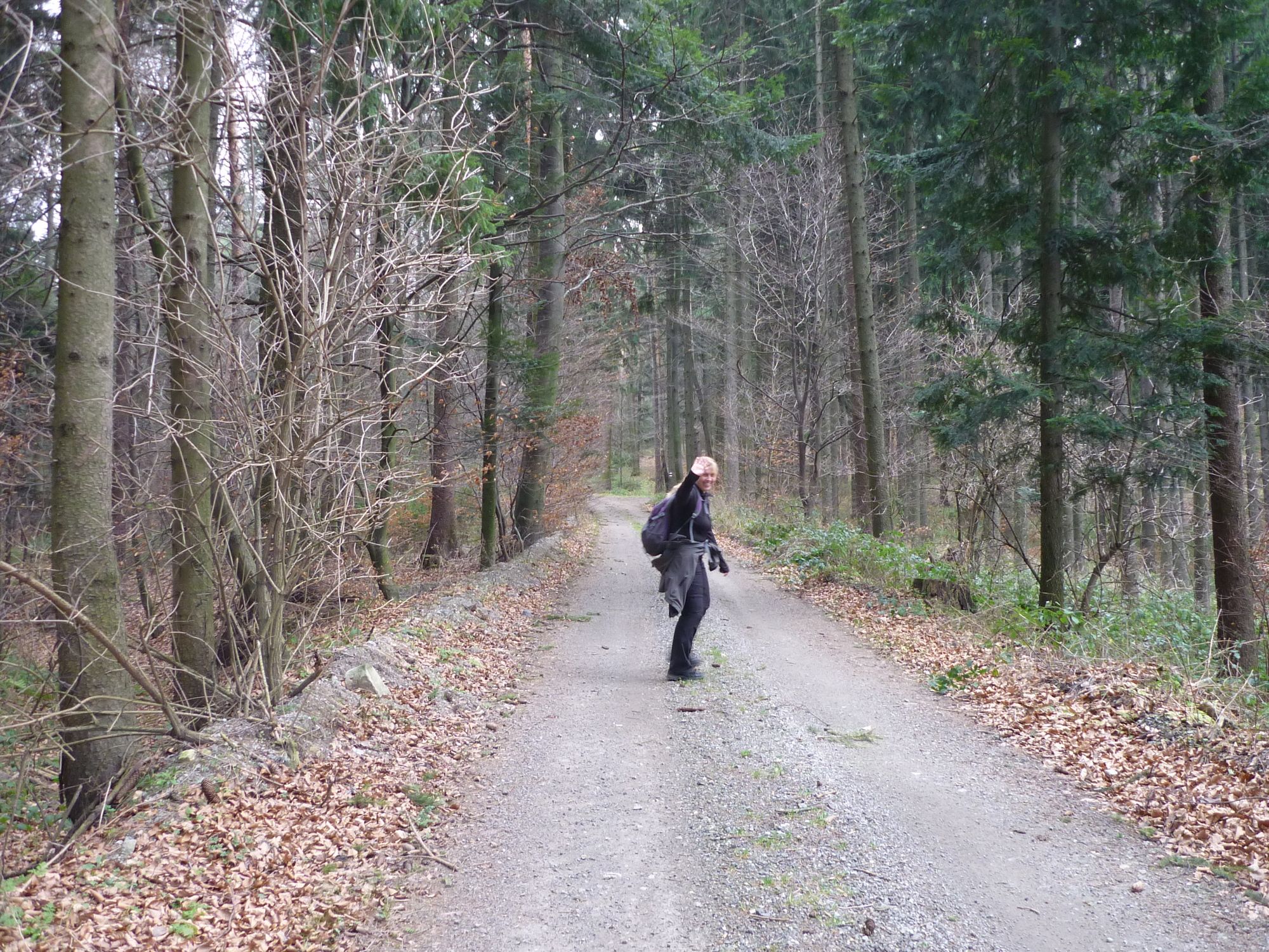
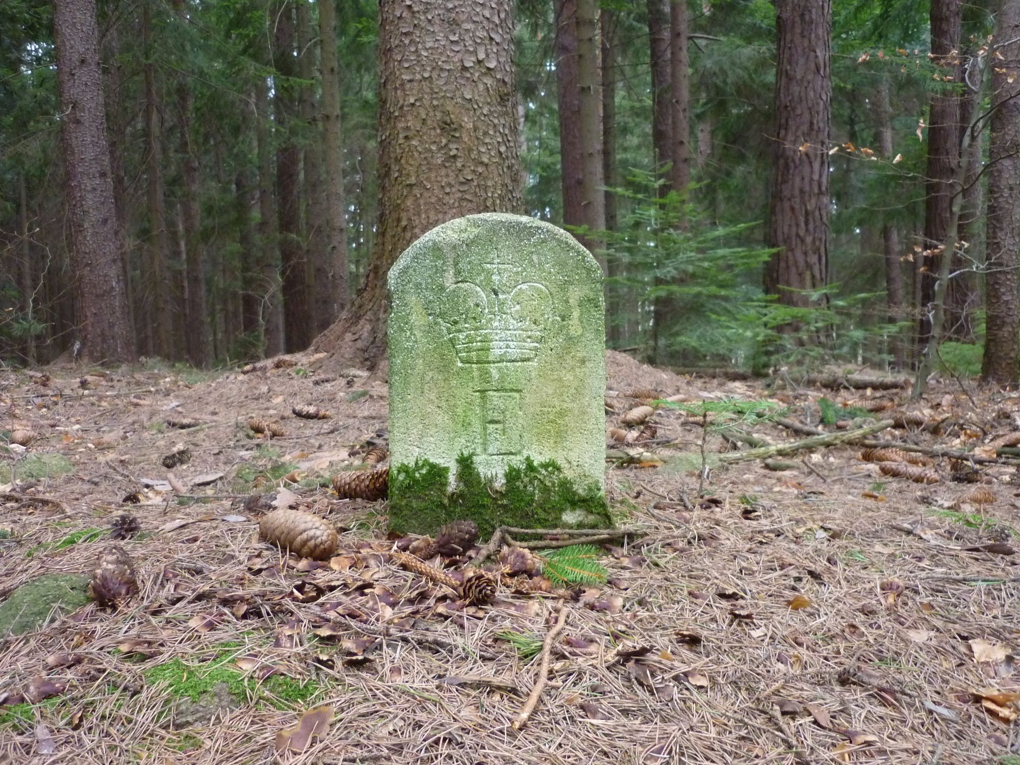
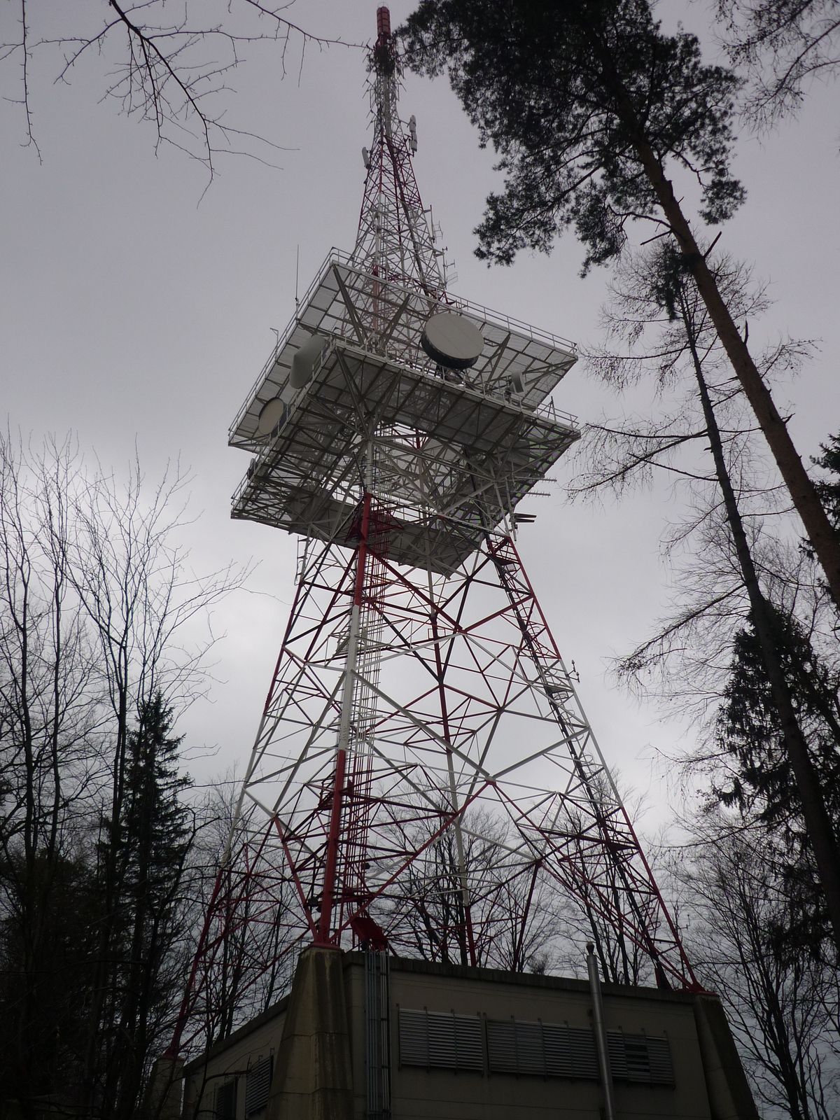
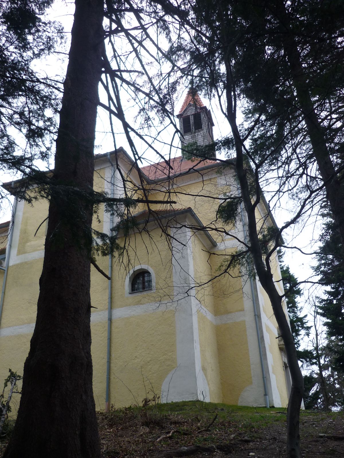
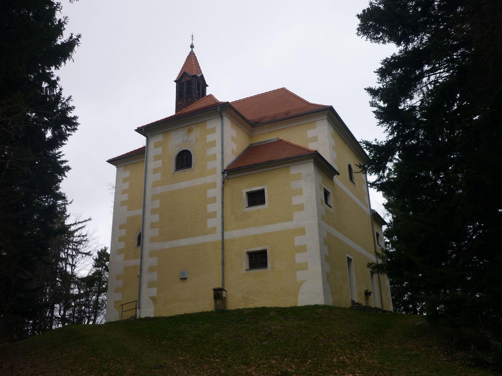
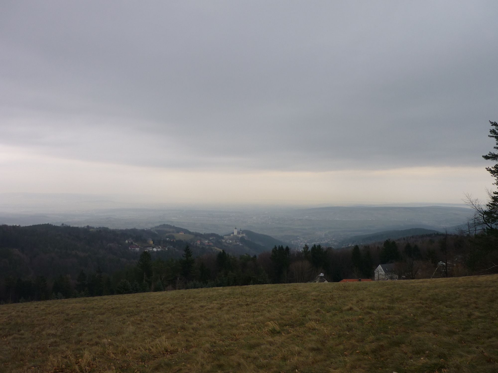
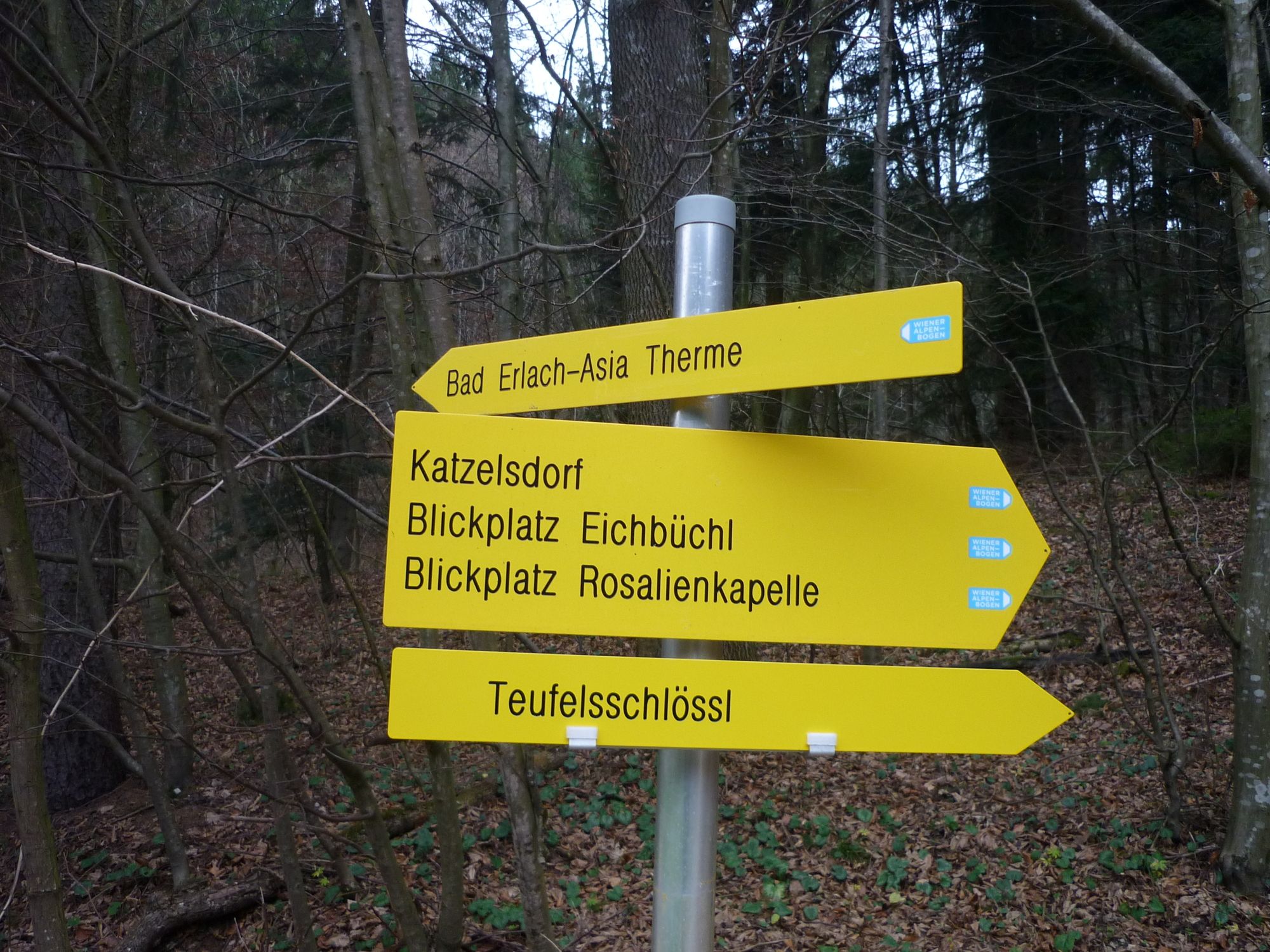
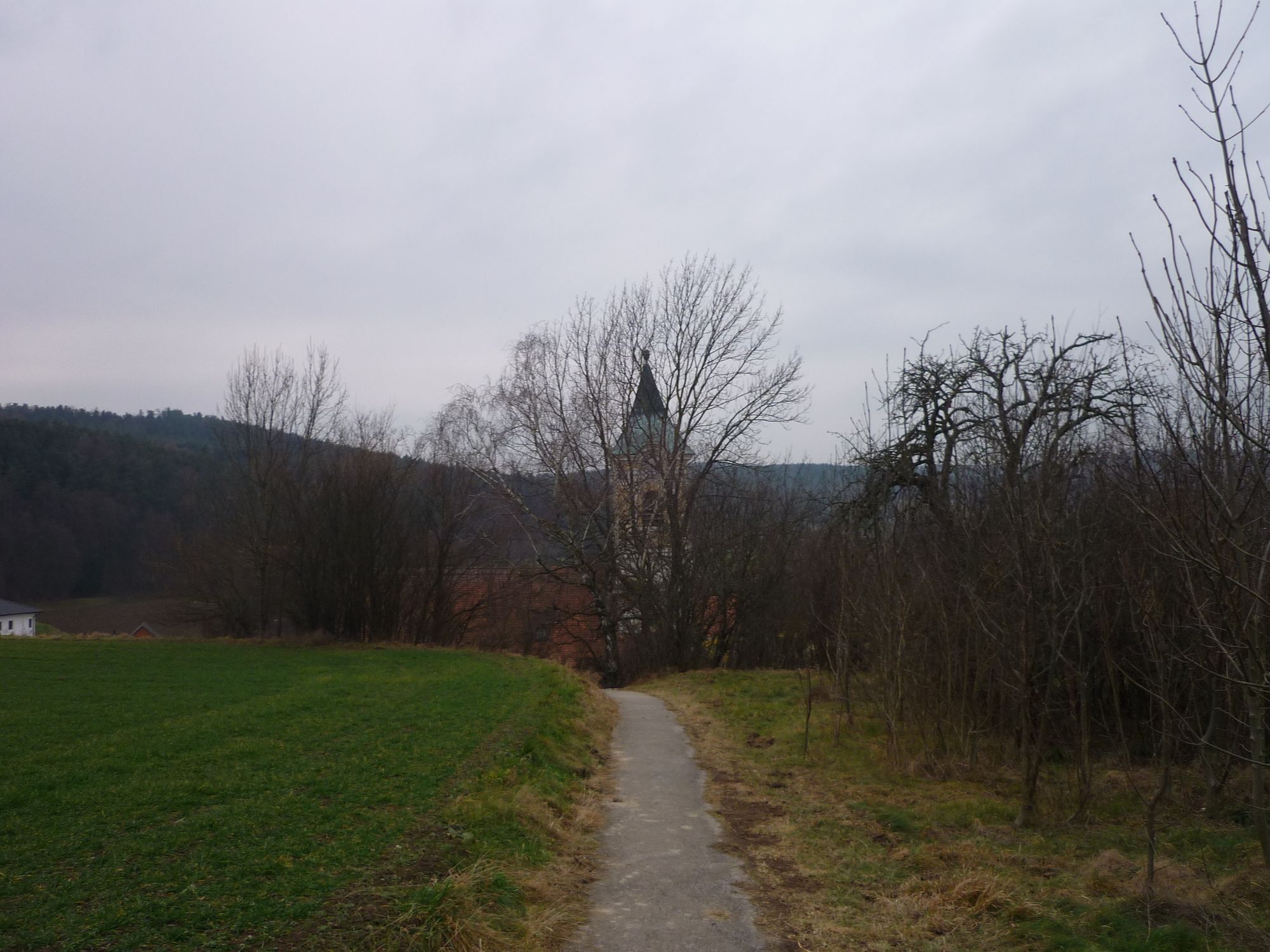
Laurenzkirche0,0 kmKatzelsdorf/Leitha0,2 kmNepomukkapelle0,3 kmEichbüchl3,1 kmKupfer-Dachl3,4 kmSteinkogel (640 m)7,7 kmKrieriegel (682 m)8,3 kmMittereck (634 m)9,0 kmForchtenstein-Rosalia11,1 kmRosalienkapelle11,1 kmHeuberg (748 m)11,1 kmPfarrkirche Walpersbach20,0 kmBretterecker20,1 kmWalpersbach20,2 kmReiterer- Loibenböck Dorfheuriger21,5 kmBad Erlach21,8 kmAntoniuskirche21,8 kmHöfler am Fluss21,9 kmBad Erlach22,8 km
- Meilleure saison
-
janv.févr.marsavrilmaijuinjuil.aoûtsept.oct.nov.déc.
- Hauteur maximale
- 733 m


GPS Downloads


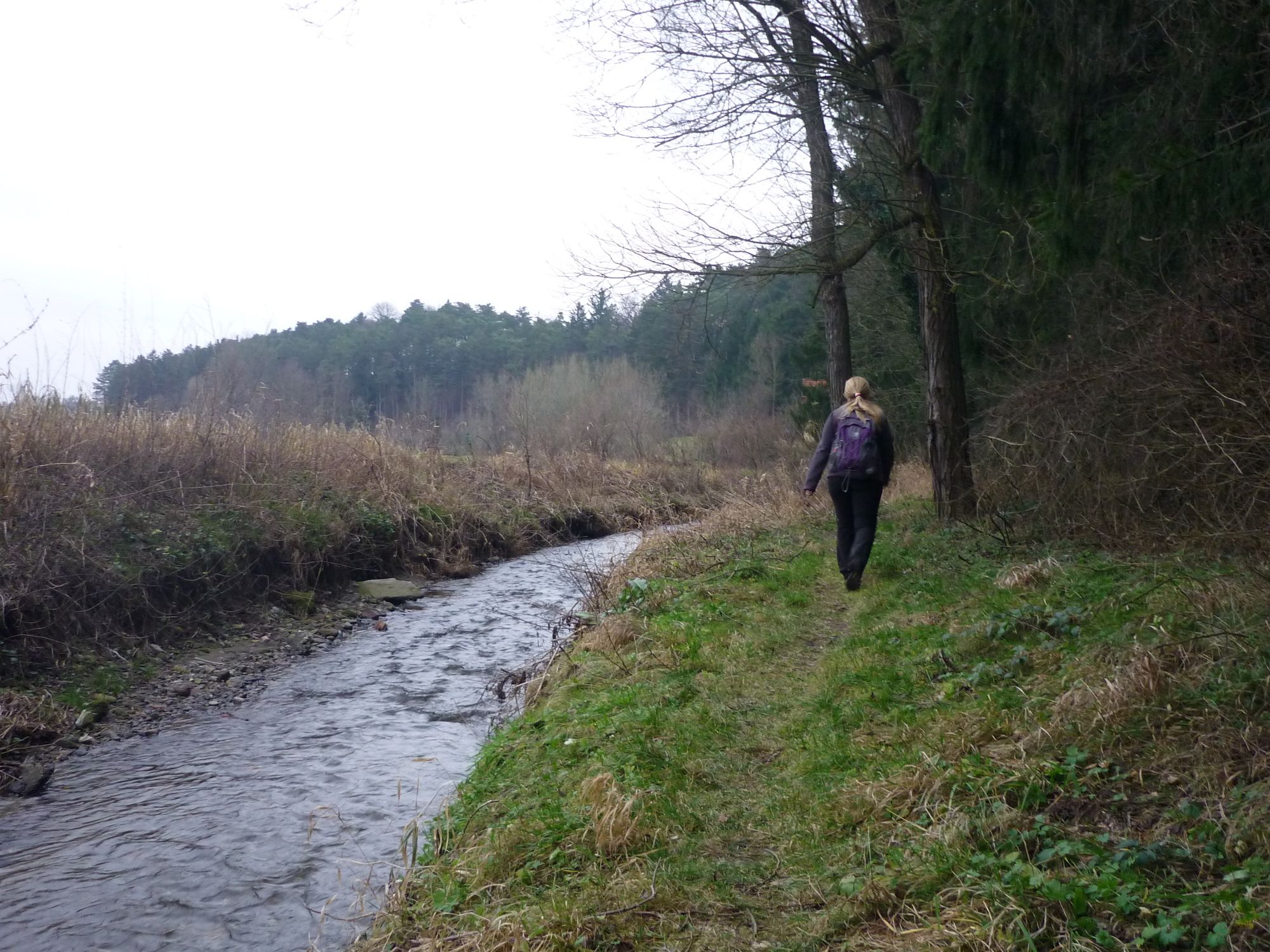
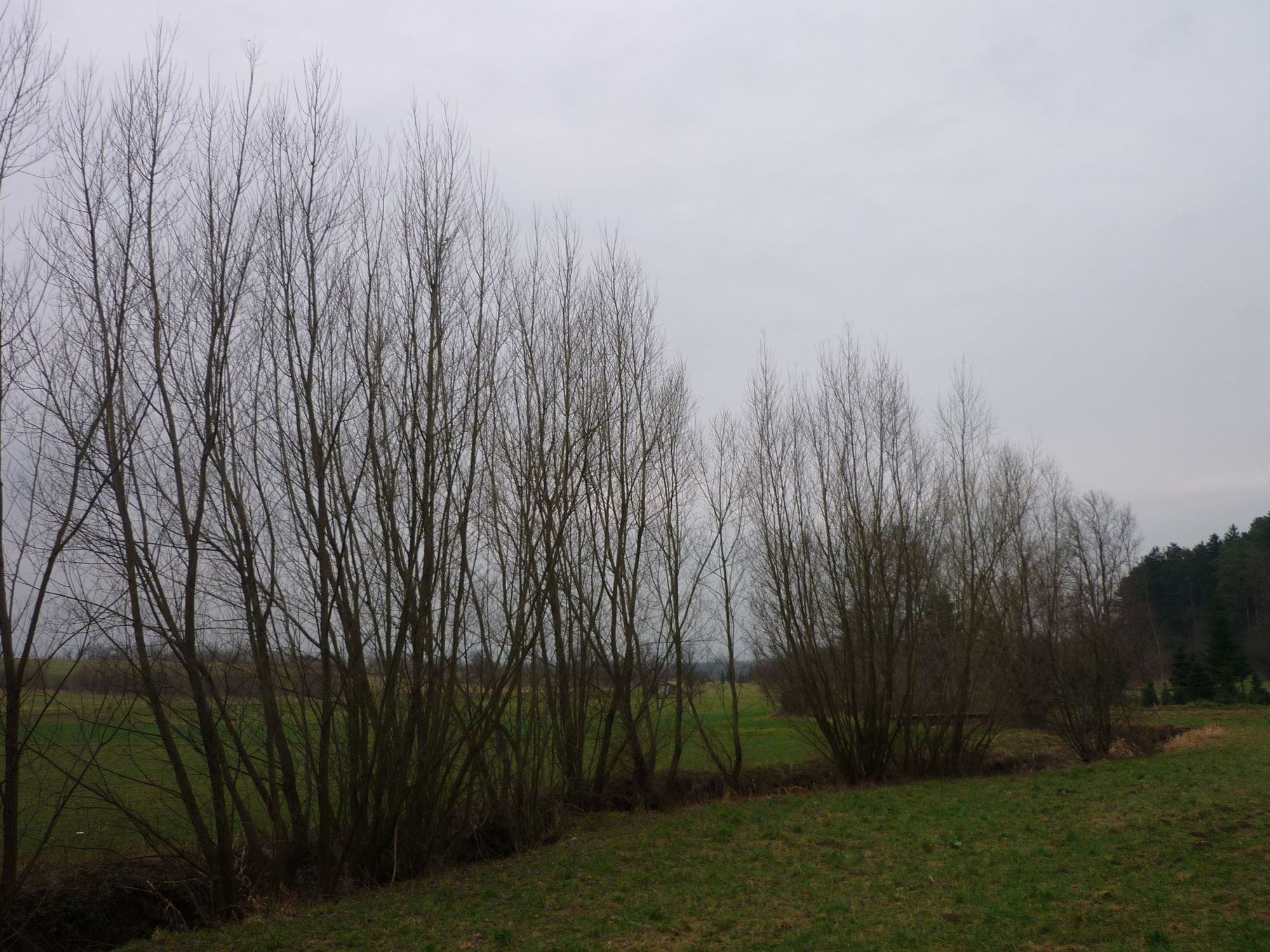
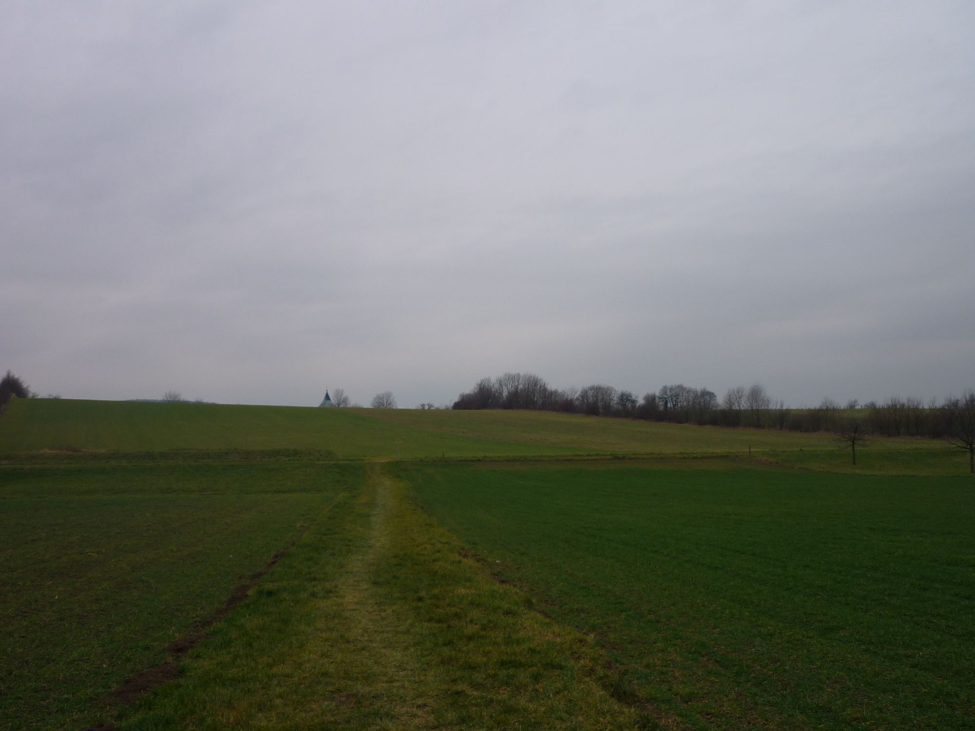
Nature du chemin
Asphalte
Gravier
Pelouse
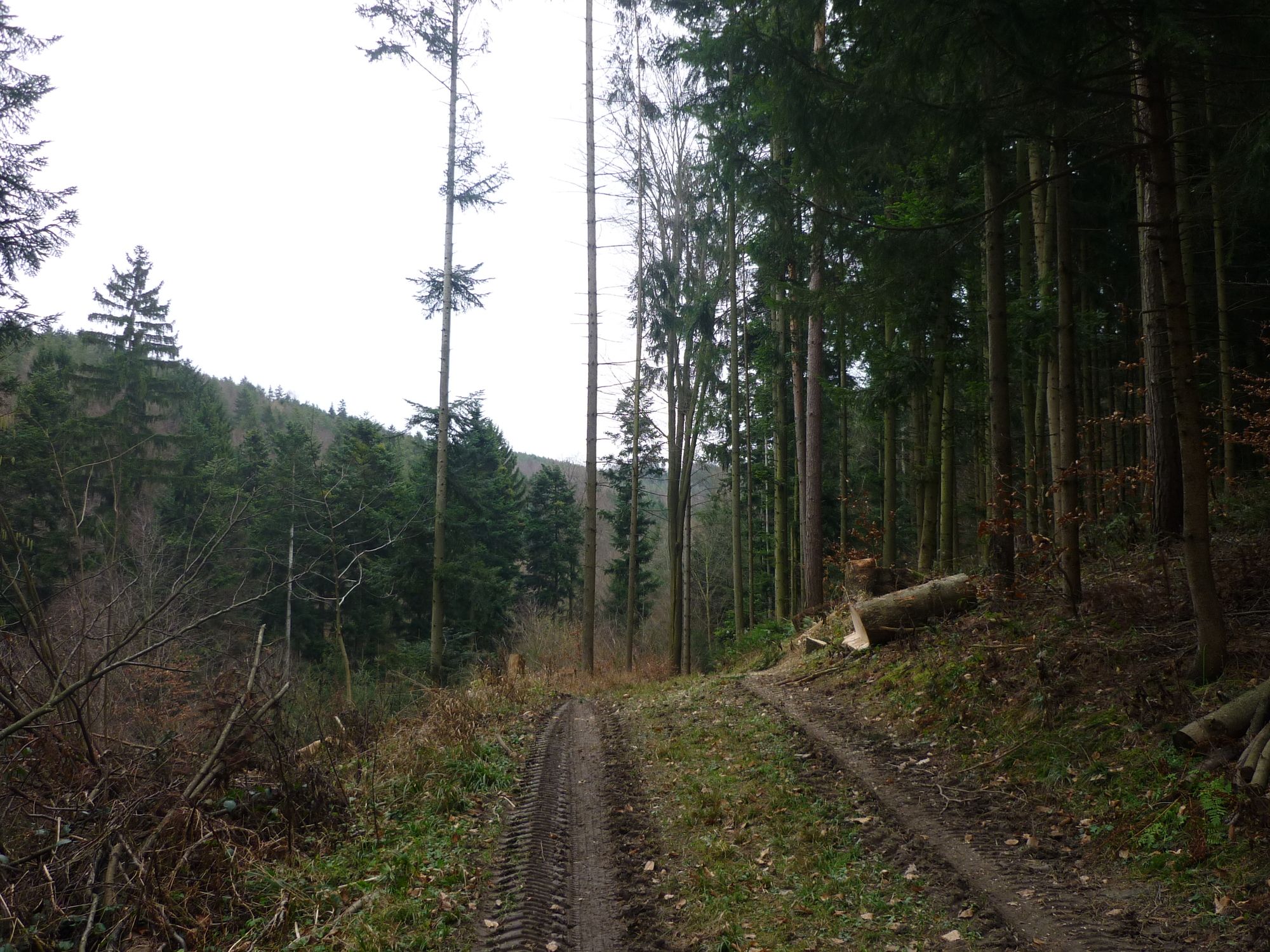
Forêt
Rocher
Exposé
Autres parcours dans les régions
-
Wiener Alpen
3048
-
Bucklige Welt - Wiener Alpen
792
-
Lanzenkirchen
349