

© © Wiener Alpen in NÖ Tourismus GmbH, Foto: Franz Zwickl - Wiener Alpen in Niederösterreich Tourismus GmbH

© Wiener Alpen in Niederösterreich - Sophie Weinberger

© Wiener Alpen in Niederösterreich - Sophie Weinberger

© AV-alpenvereinaktiv.com - Harald Herzog

© Wiener Alpen in Niederösterreich - Sophie Weinberger

© Wiener Alpen in Niederösterreich - Sophie Weinberger

© Wiener Alpen in Niederösterreich - Sophie Weinberger

© Wiener Alpen in Niederösterreich - Katrin Zeleny

© Wiener Alpen in Niederösterreich - Katrin Zeleny

- Brève description
-
Regional Route O heads along the spectacular Burgenländischer Mariazellerweg to Preinmühle im Preintal. The Regional Routes are part of the network of paths making up the Viennese Alps (WAB) route. Hikes along these routes lead you to unique views and also insights. The Regional Routes are linked to the network of paths making up the Viennese Alps route. This results in circular hikes in conjunction with the long-distance path.
- Difficulté
-
moyen
- Évaluation
-
- Parcours
-
Putzkapelle2,2 kmWaldkapelle6,8 kmVois7,0 kmGasthof Bacherlwirt11,8 kmPreinmühle14,9 kmObere Preinmühlenhöhle14,9 kmUntere Preinmühlenhöhle14,9 km
- Meilleure saison
-
janv.févr.marsavrilmaijuinjuil.aoûtsept.oct.nov.déc.
- Hauteur maximale
- 1.225 m
- Point de mire
-
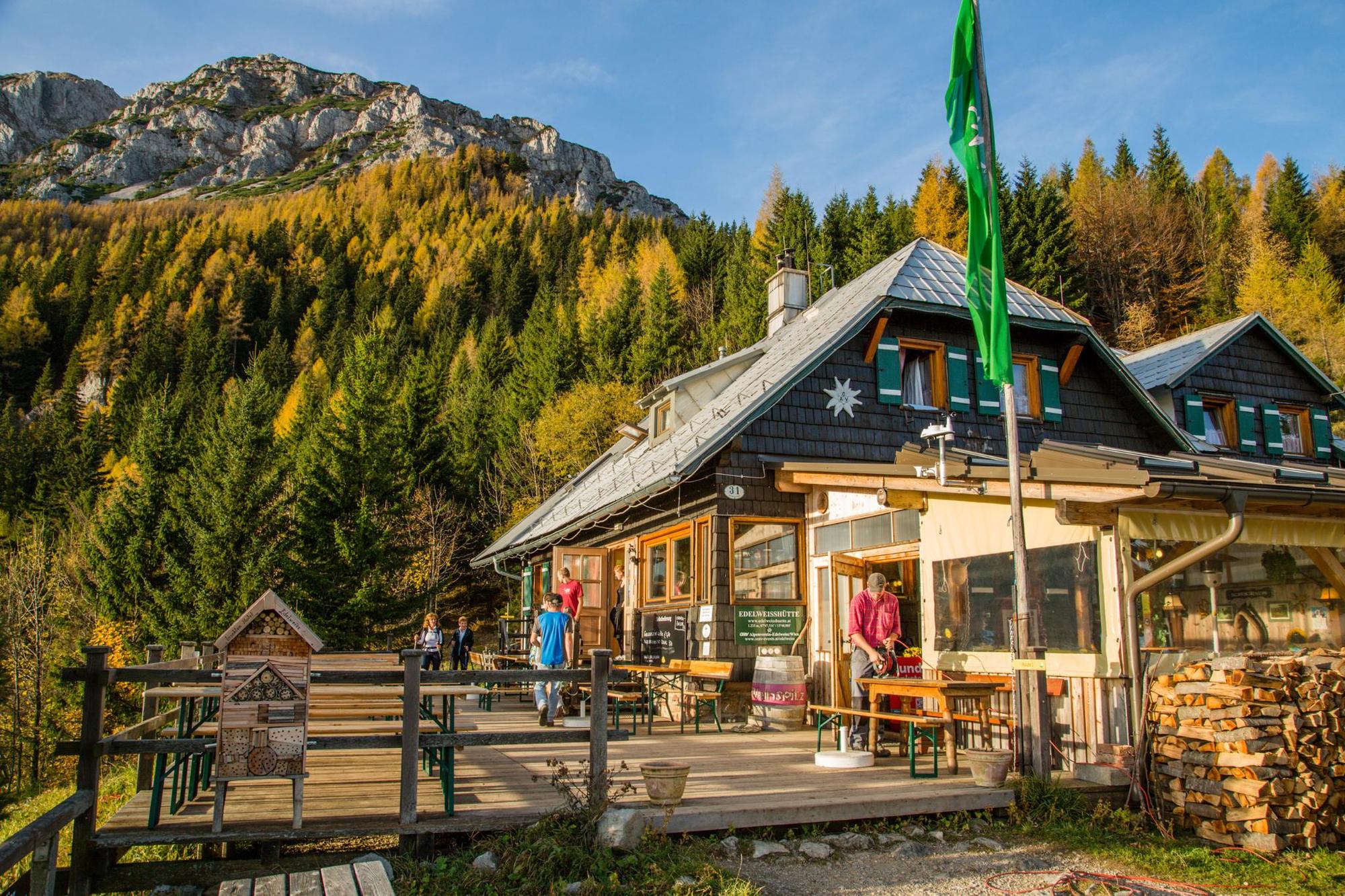
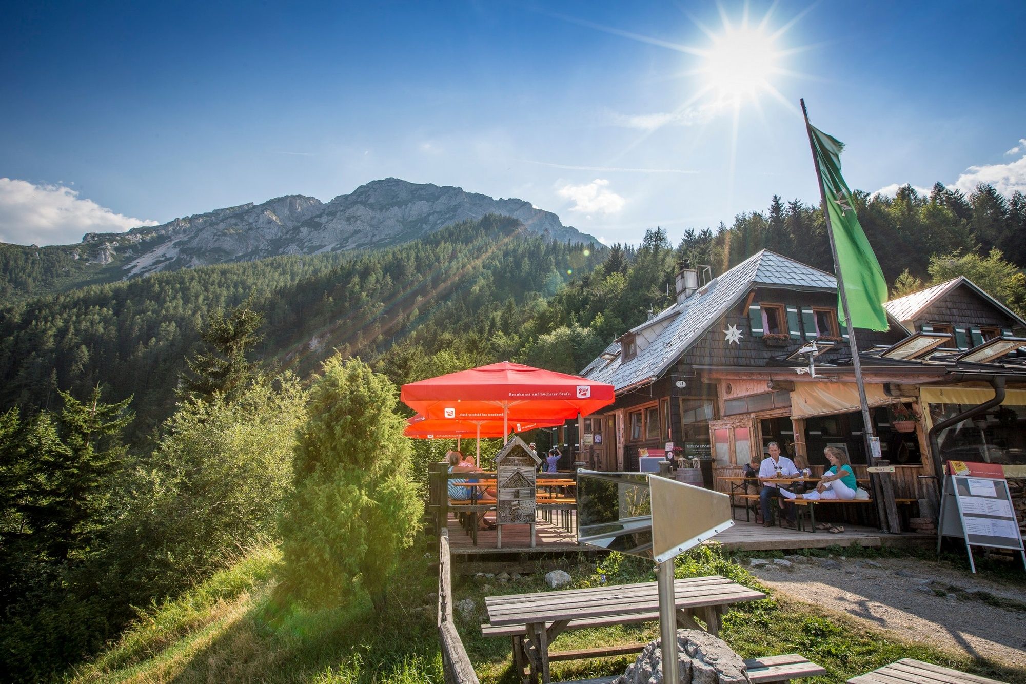
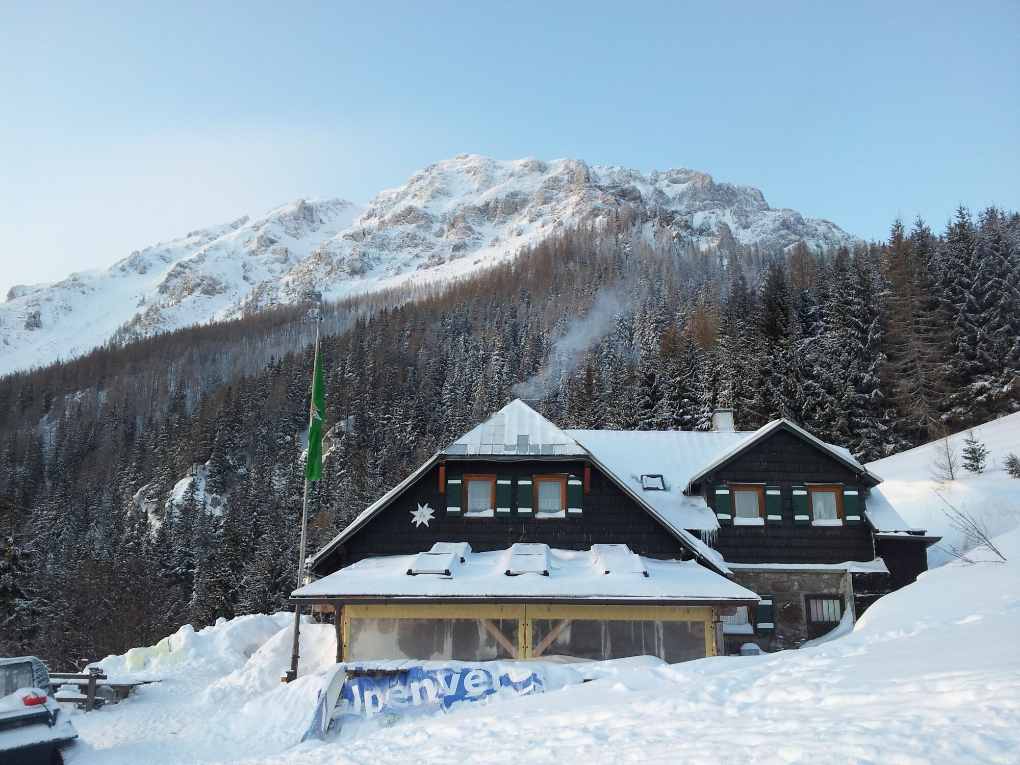
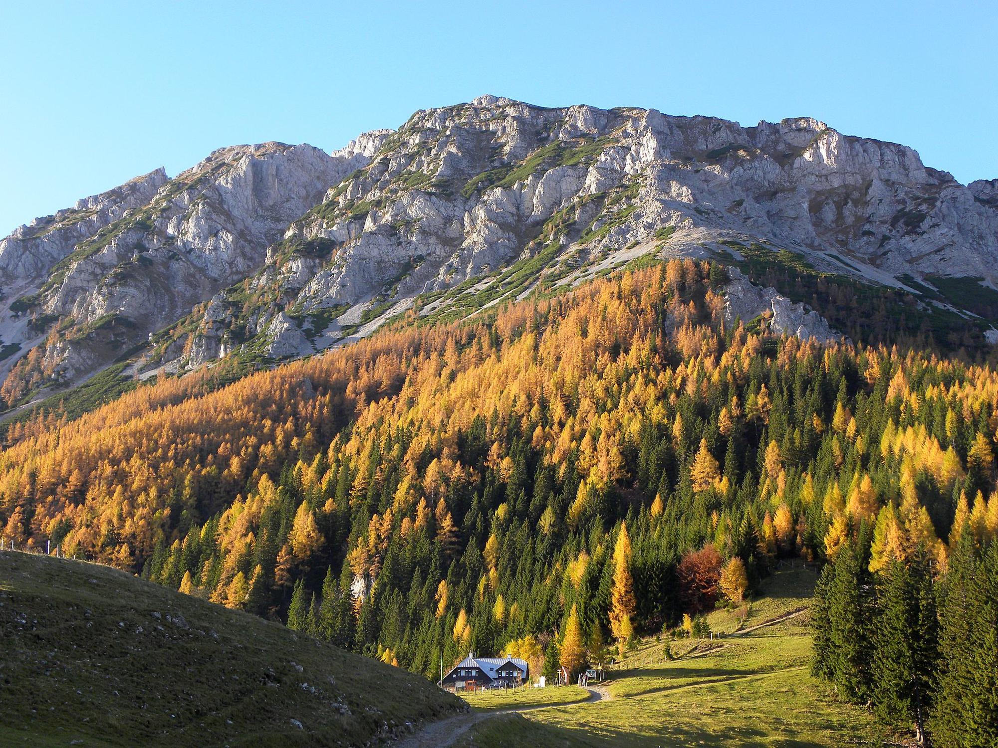
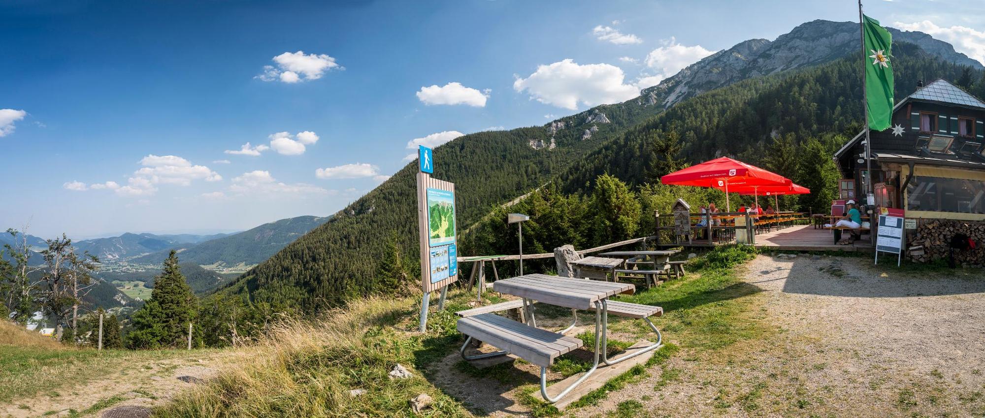
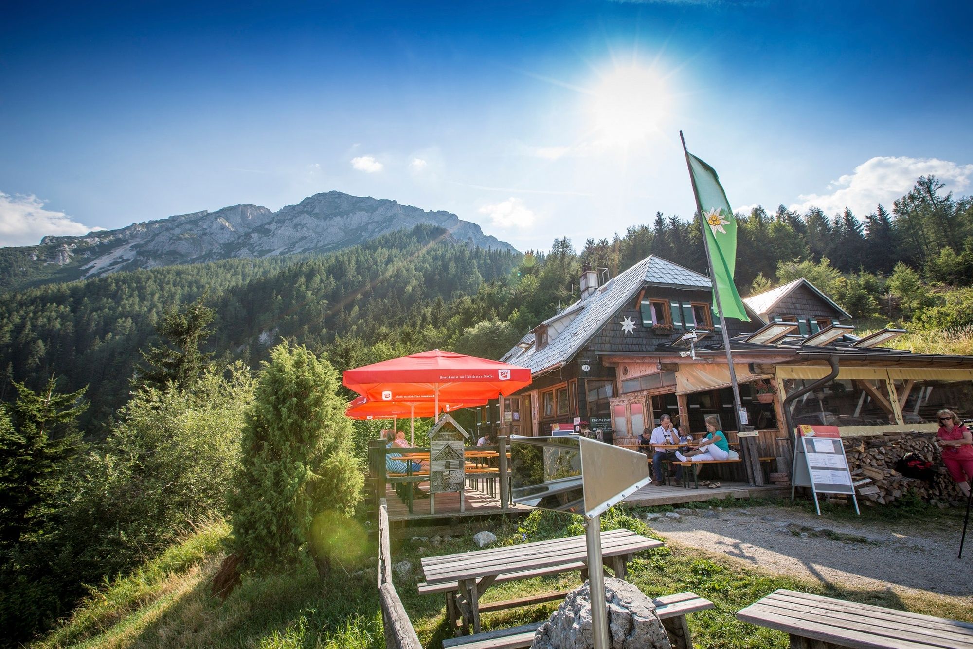
Preinmühle im Preintal near Schwarzau im Gebirge
- Profil en hauteur
-


- Auteur
-
La randonnée WAB - Regional Route O: Edelweißhütte - Preintal est utilisé par outdooractive.com fourni par.
GPS Downloads


Informations générales
Prometteur
Autres parcours dans les régions
-
Hochsteiermark
4082
-
Semmering - Rax
2314
-
Schwarzau im Gebirge
540


