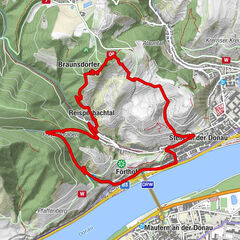
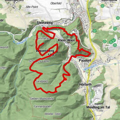
© Anton Hollaus

© Anton Hollaus

© Anton Hollaus

© Anton Hollaus

© Anton Hollaus

© Anton Hollaus
- Brève description
-
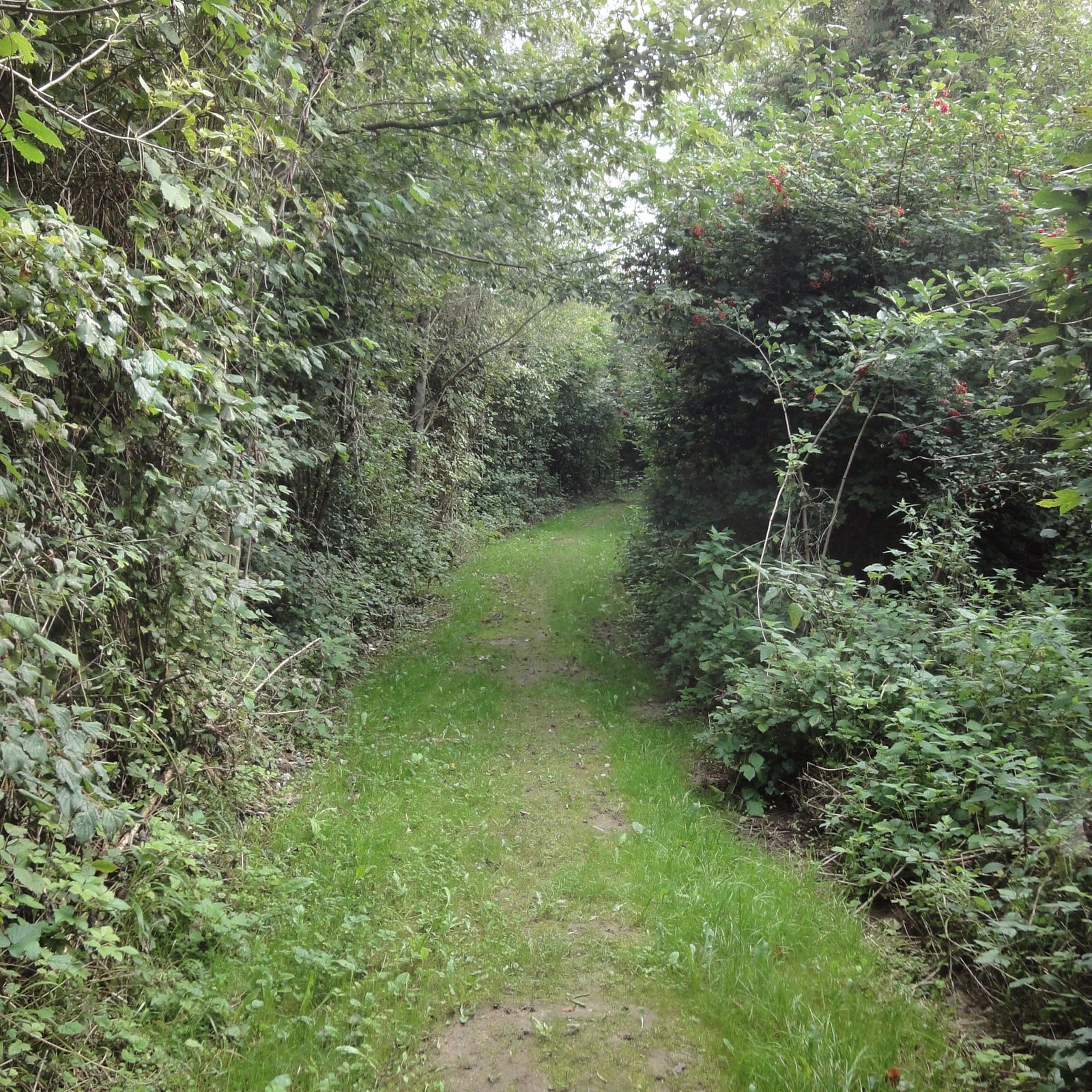
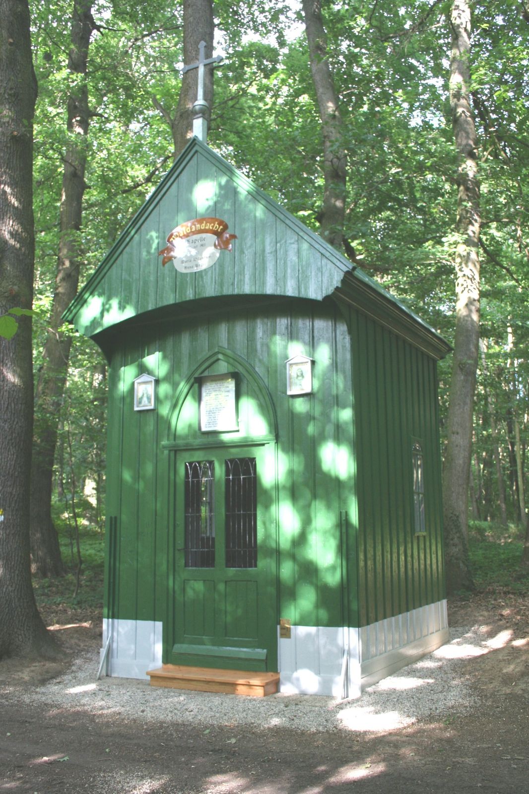
Kleiner Rundwanderweg zur Reidlinger Waldandacht.
- Difficulté
-
facile
- Évaluation
-
- Parcours
-
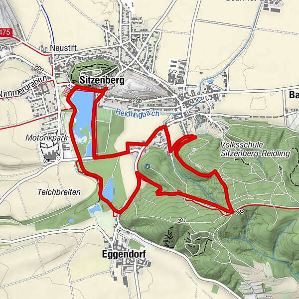
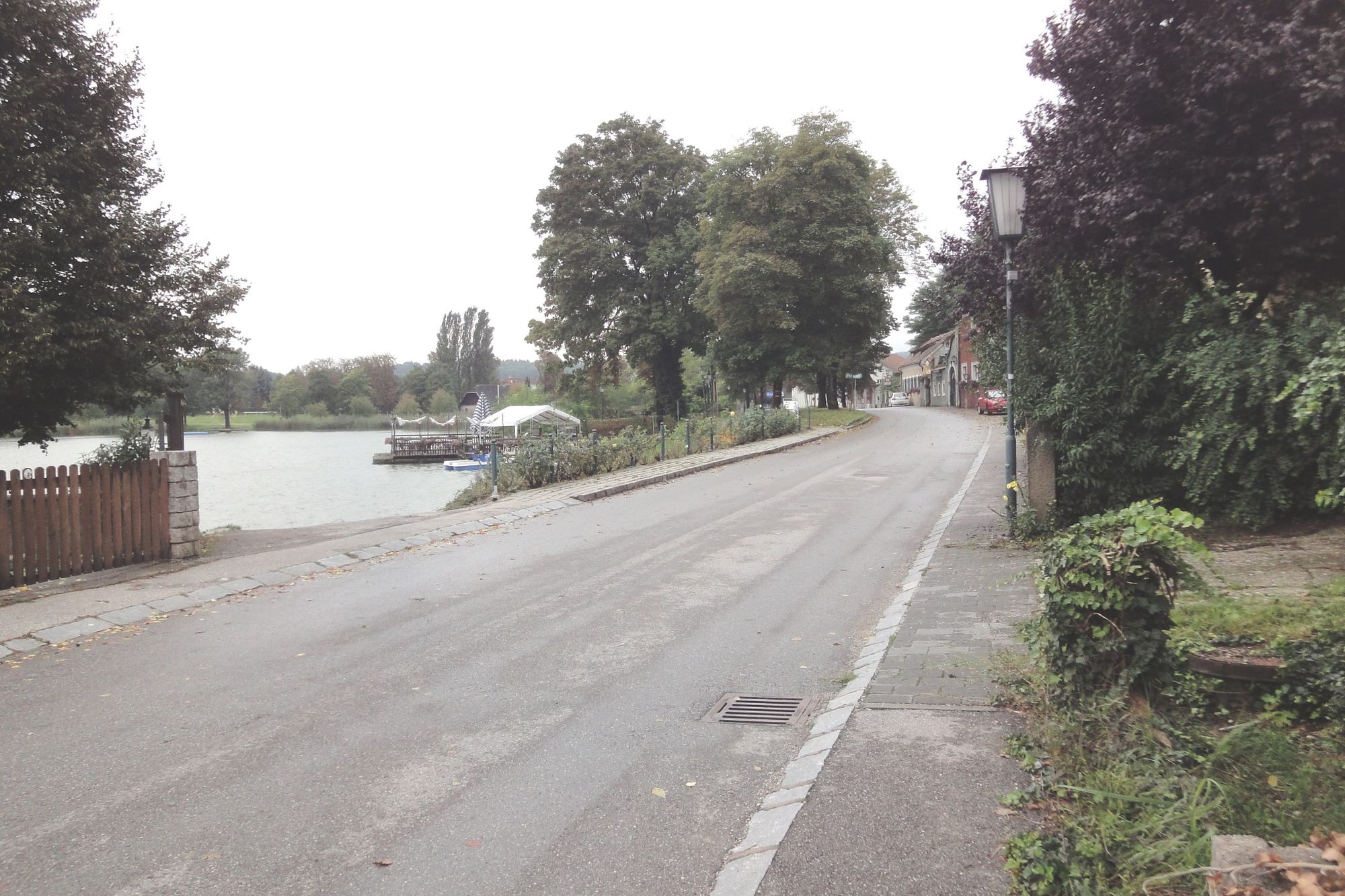
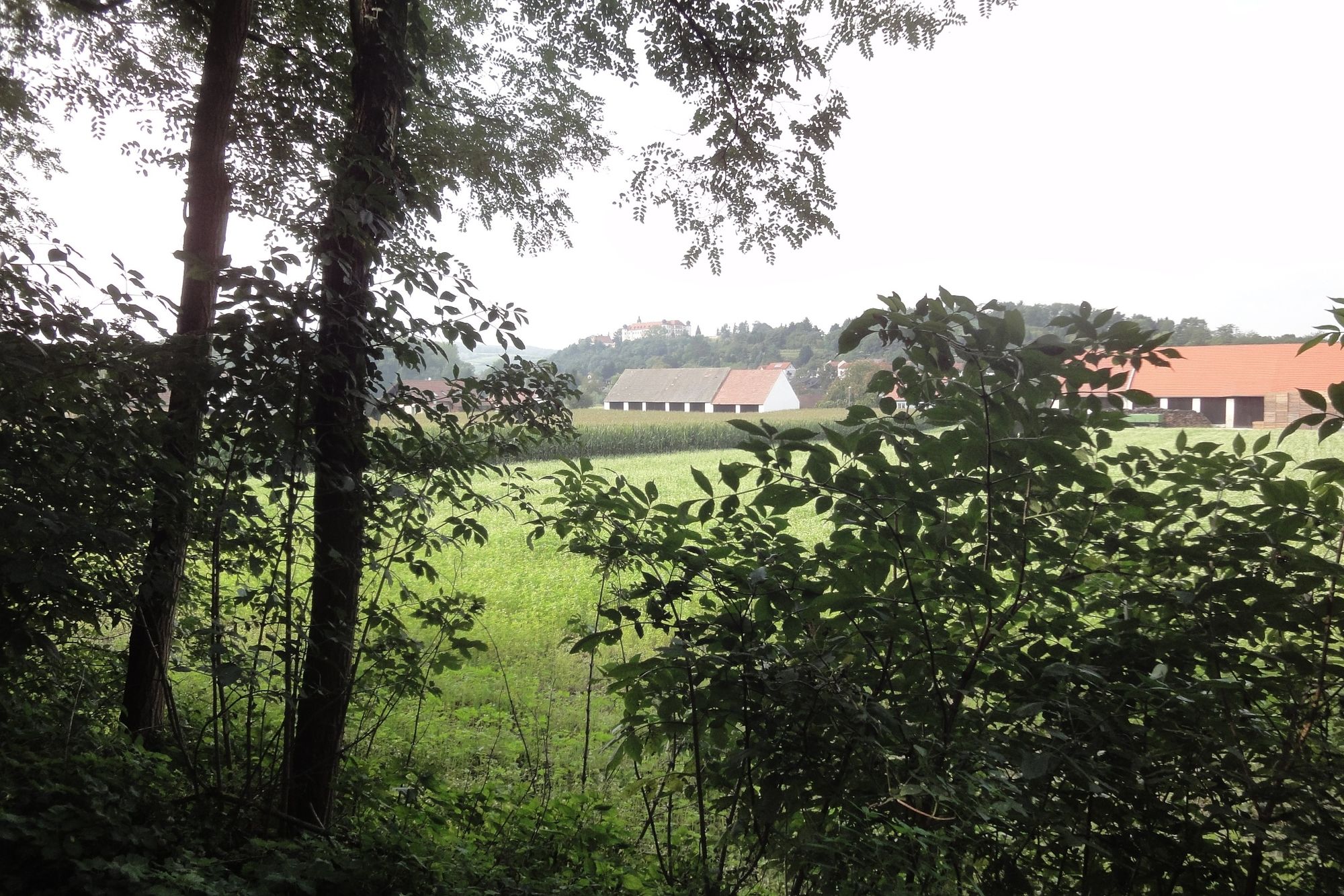
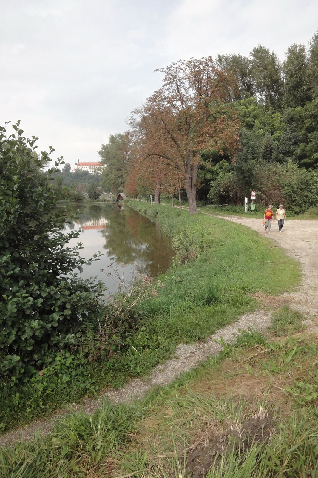
SitzenbergGasthof SchmidMaria Hilf0,1 kmEggendorf1,6 kmWaldandacht2,9 kmReidling4,0 kmMaria Hilf5,6 kmSitzenberg5,7 kmGasthof Schmid5,8 km
- Meilleure saison
-
janv.févr.marsavrilmaijuinjuil.aoûtsept.oct.nov.déc.
- Hauteur maximale
- 307 m
- Point de mire
-
Gasthaus Schmid
- Profil en hauteur
-


- Auteur
-
La randonnée Waldandacht-Wanderweg nach Reidling est utilisé par outdooractive.com fourni par.
GPS Downloads


Informations générales
Point de rassemblement
Autres parcours dans les régions