
Dates des itinéraires
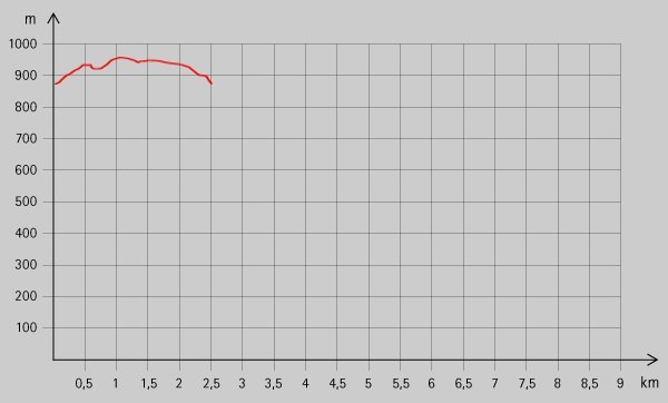
2,58km
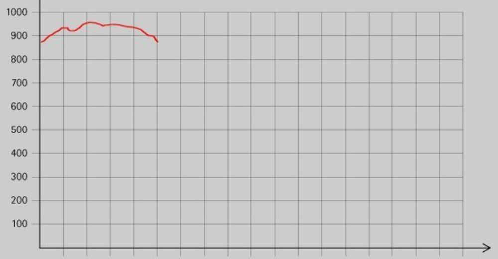
- 960m
90hm
-
- Brève description
-
Leichte Familienwanderung mit einer tollen Aussicht von der Jauerlingwarte!
- Évaluation
-
- Point de départ
-
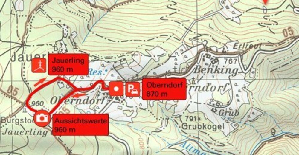
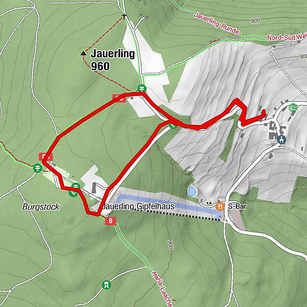
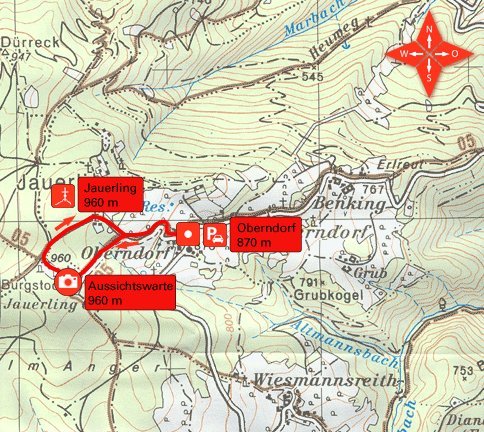
Parkplatz bei Oberndorf (ca. 880 m)
- Hauteur maximale
- 960 m
- Repos/Rassembler
-
Naturpark Gasthaus
- Cartes
GPS Downloads


Nature du chemin
Asphalte
Gravier
Pelouse
Forêt
Rocher
Exposé
Autres parcours dans les régions


