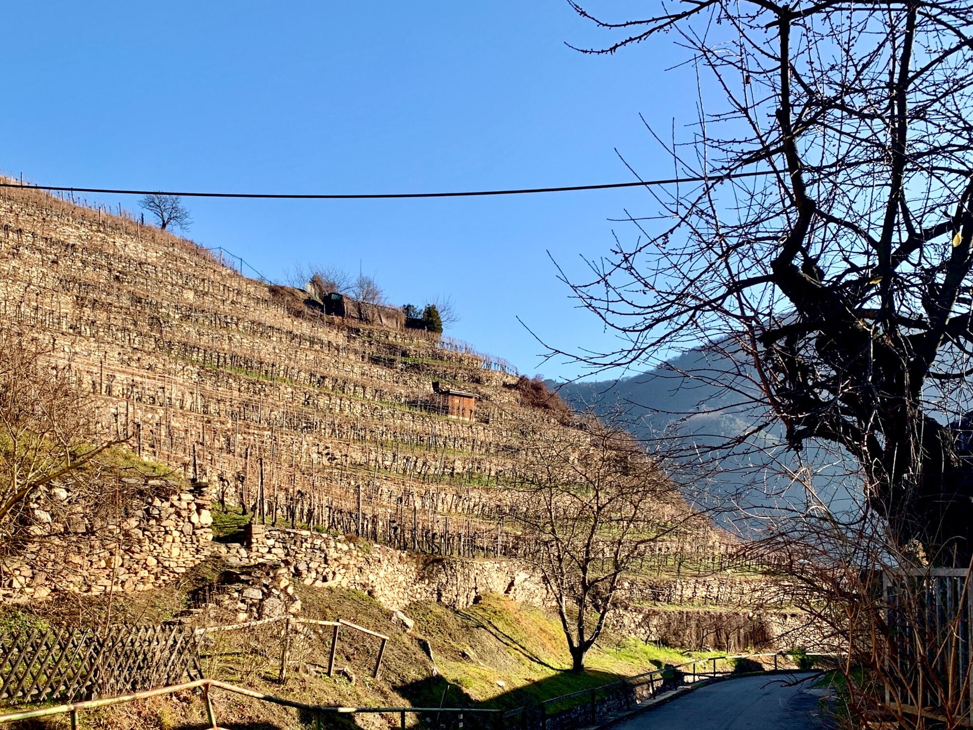
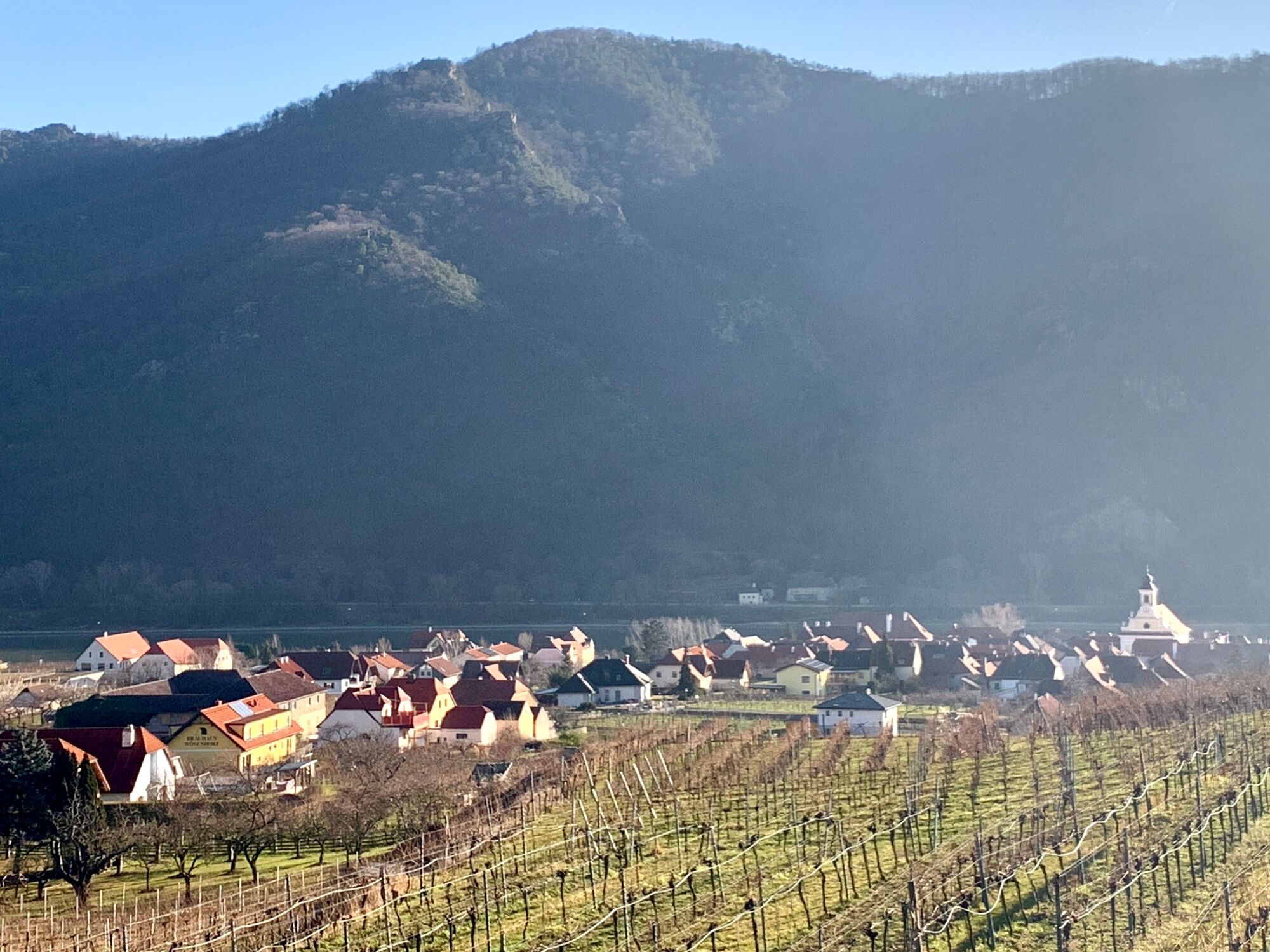
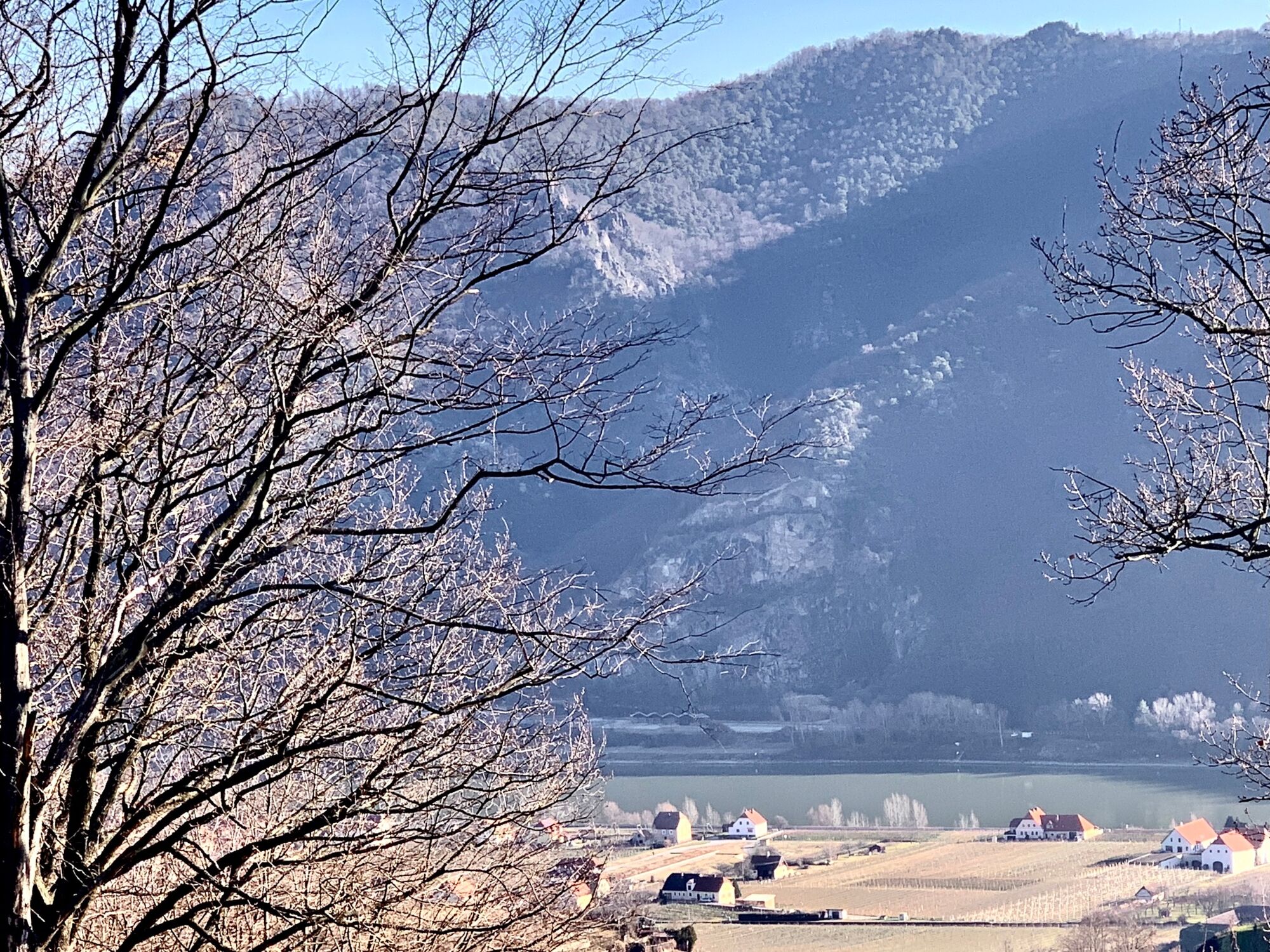
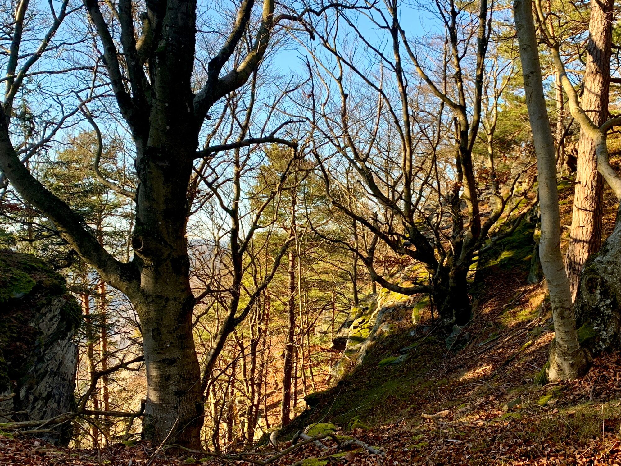
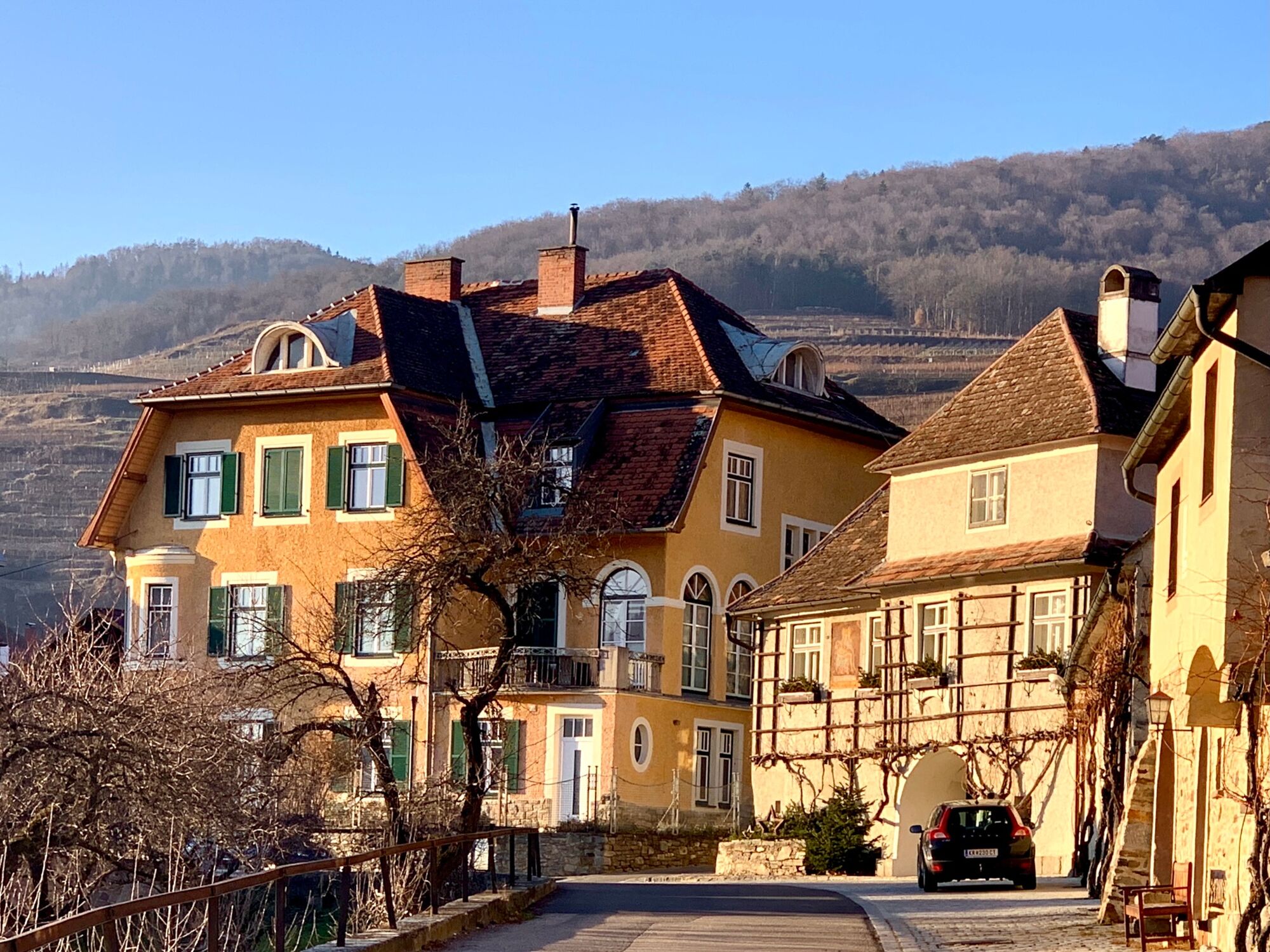
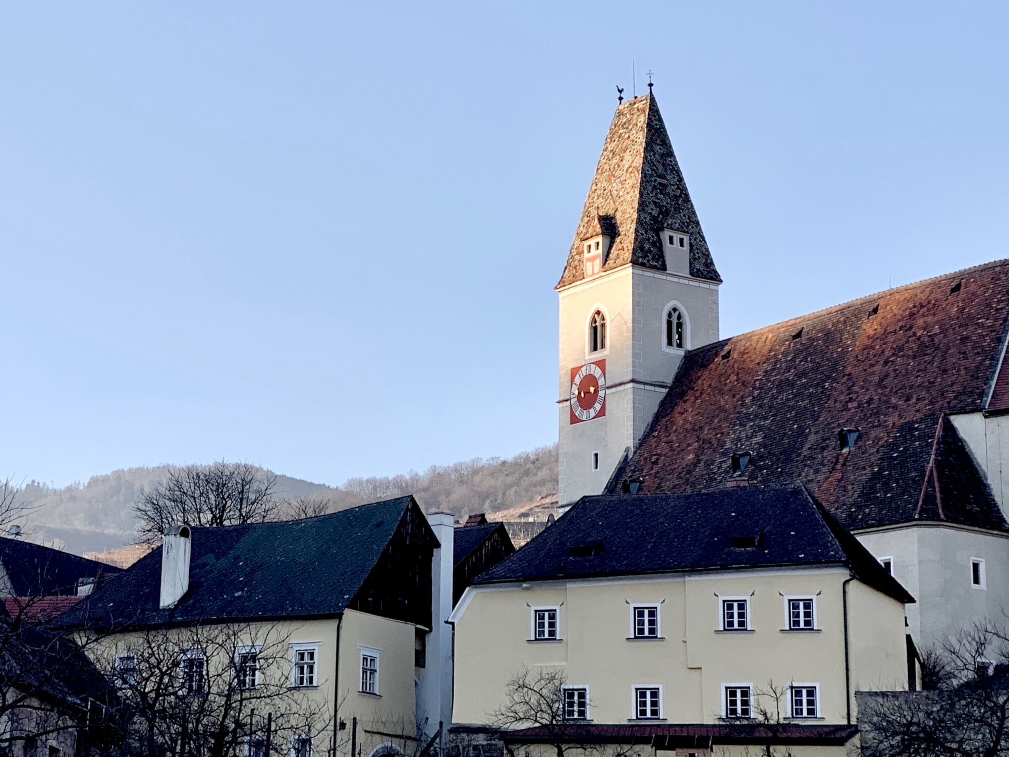
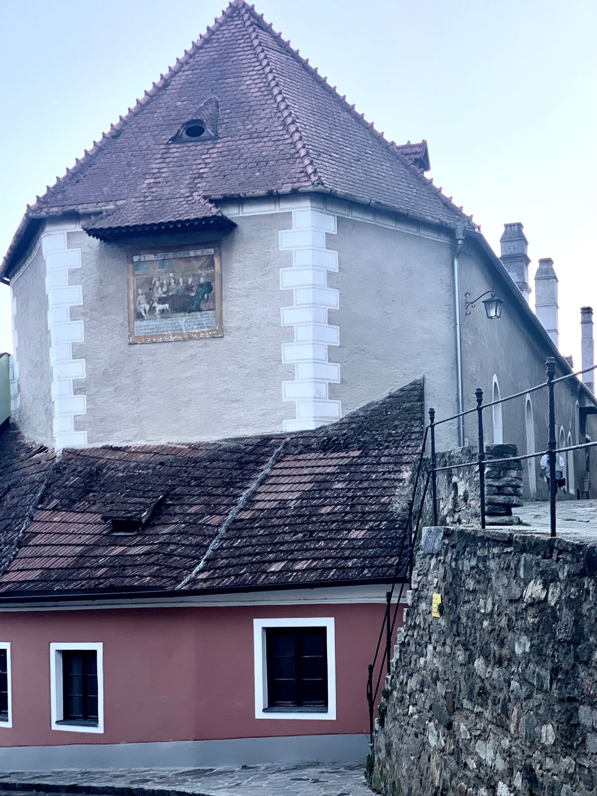
Buschandlwand - from Wösendorf in the Wachau to Spitz on the Danube

Randonnée

© Radler-Rast - Mag. Brigitte Pamperl

© Radler-Rast - Mag. Brigitte Pamperl

© Radler-Rast - Mag. Brigitte Pamperl

© Radler-Rast - Mag. Brigitte Pamperl

© Radler-Rast - Mag. Brigitte Pamperl

© Radler-Rast - Mag. Brigitte Pamperl

© Radler-Rast - Mag. Brigitte Pamperl

© Radler-Rast - Mag. Brigitte Pamperl

© Radler-Rast - Mag. Brigitte Pamperl

© Radler-Rast - Mag. Brigitte Pamperl

- Brève description
-
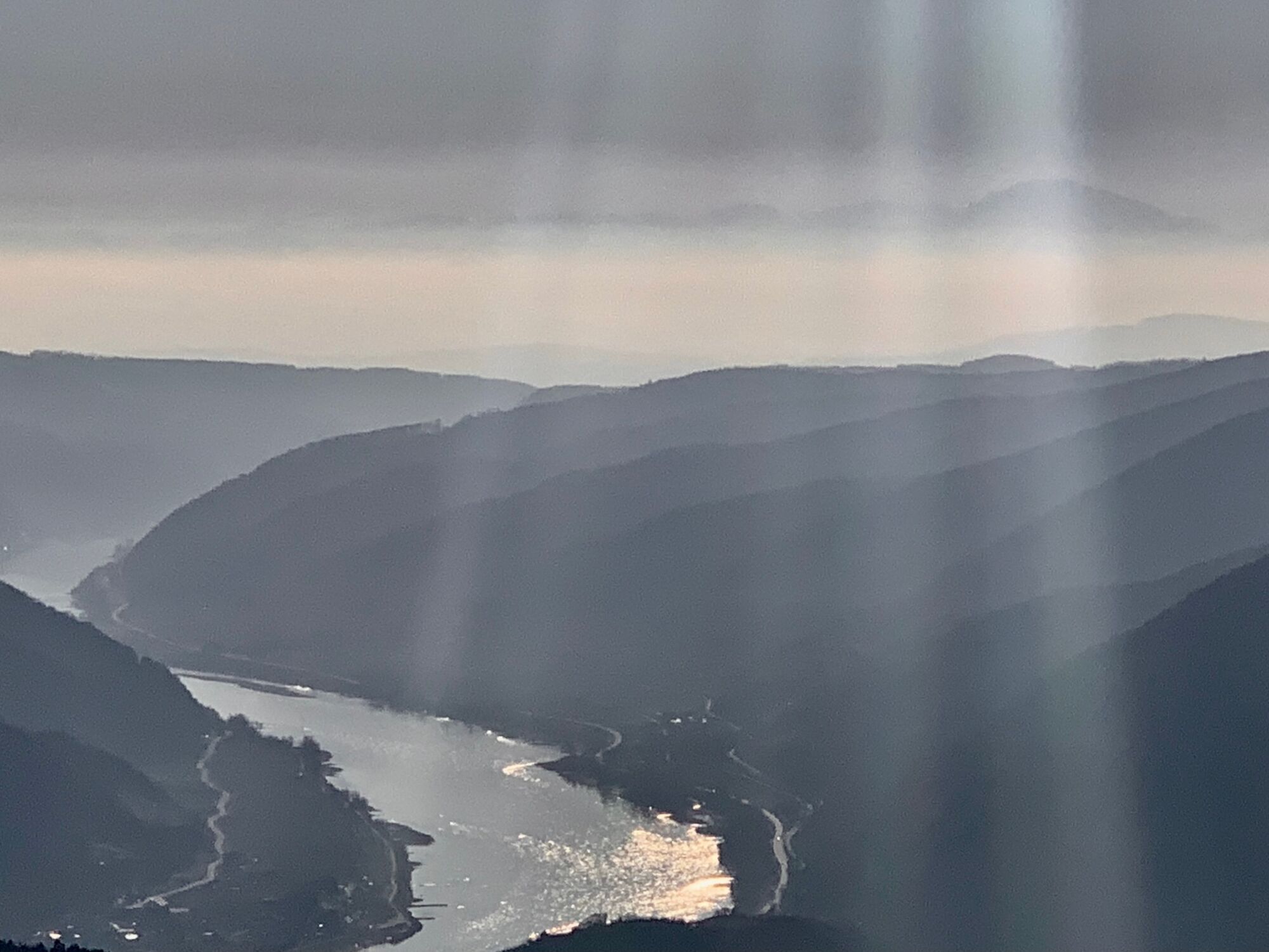
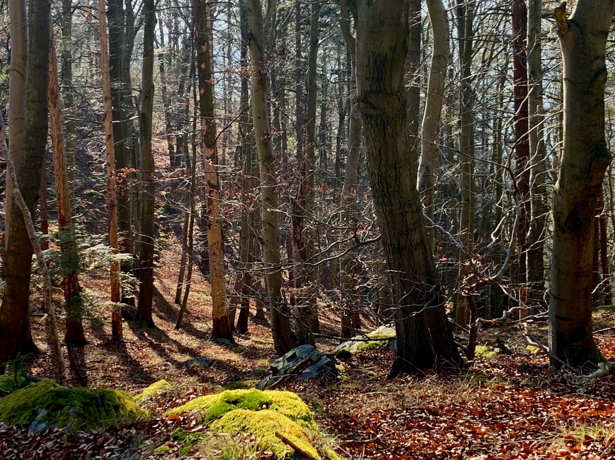
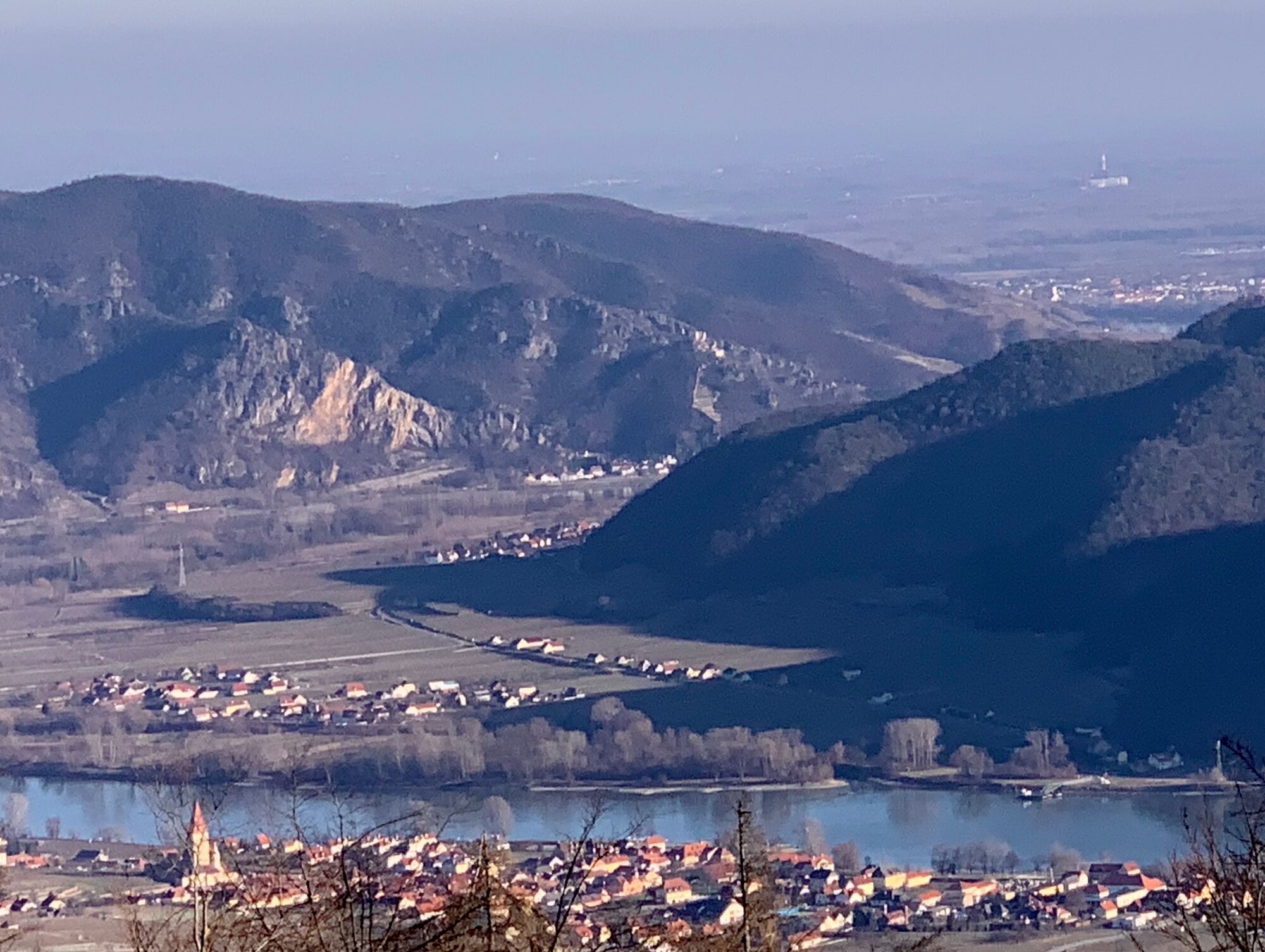
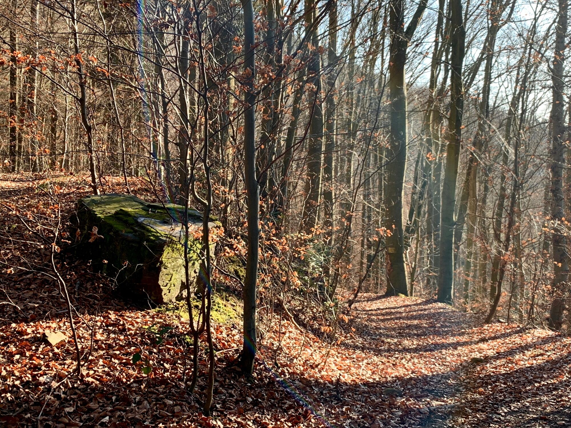
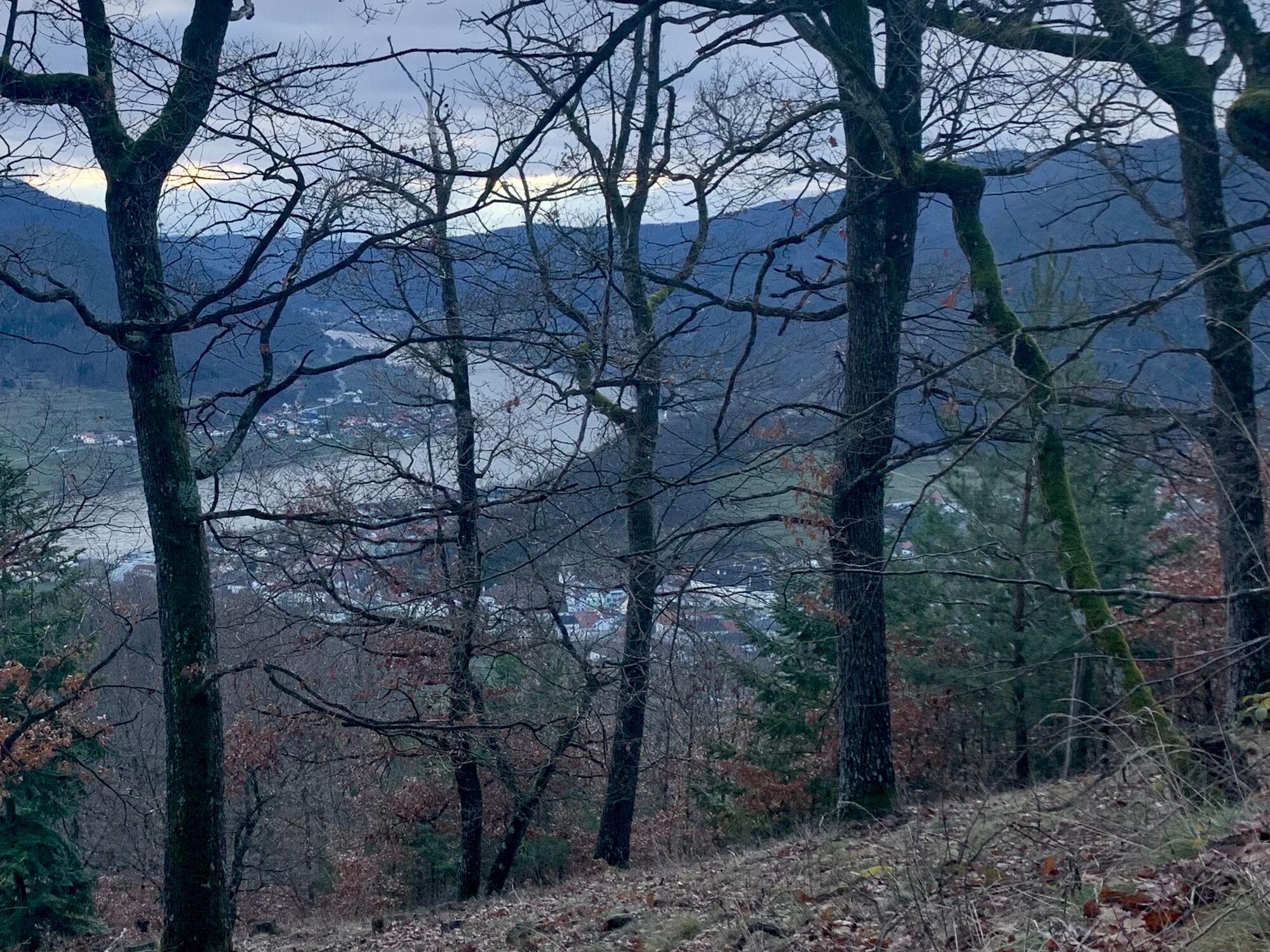
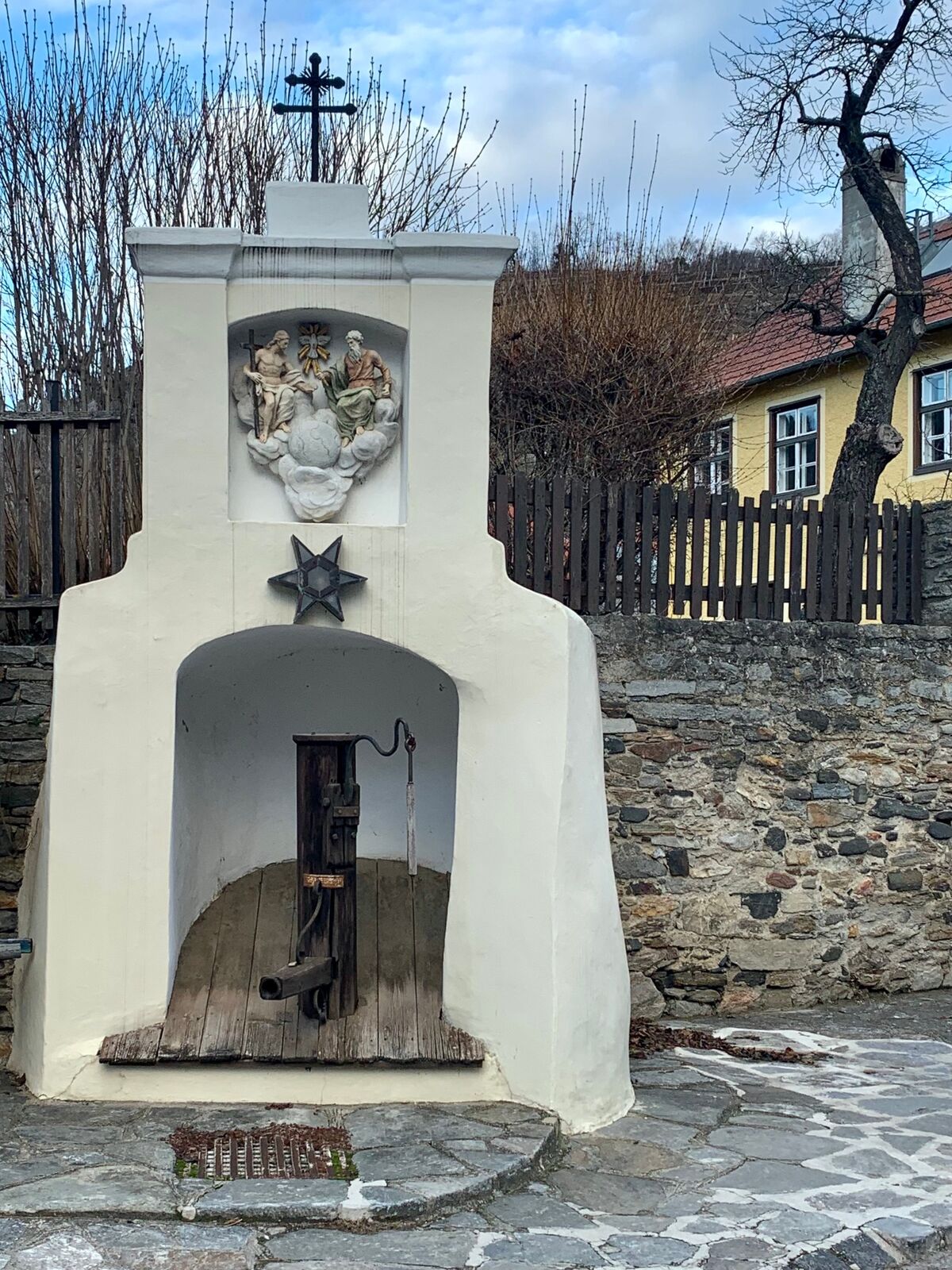
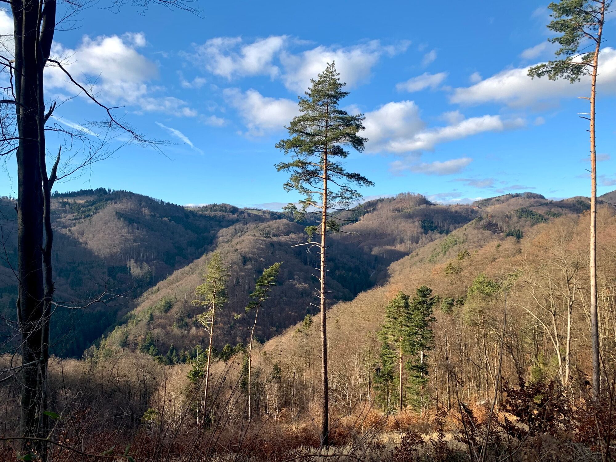
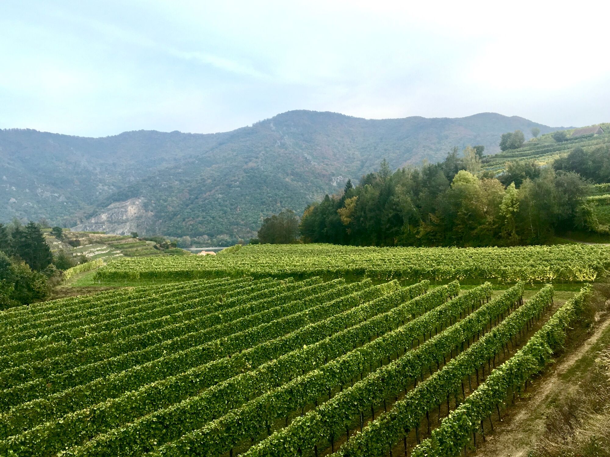
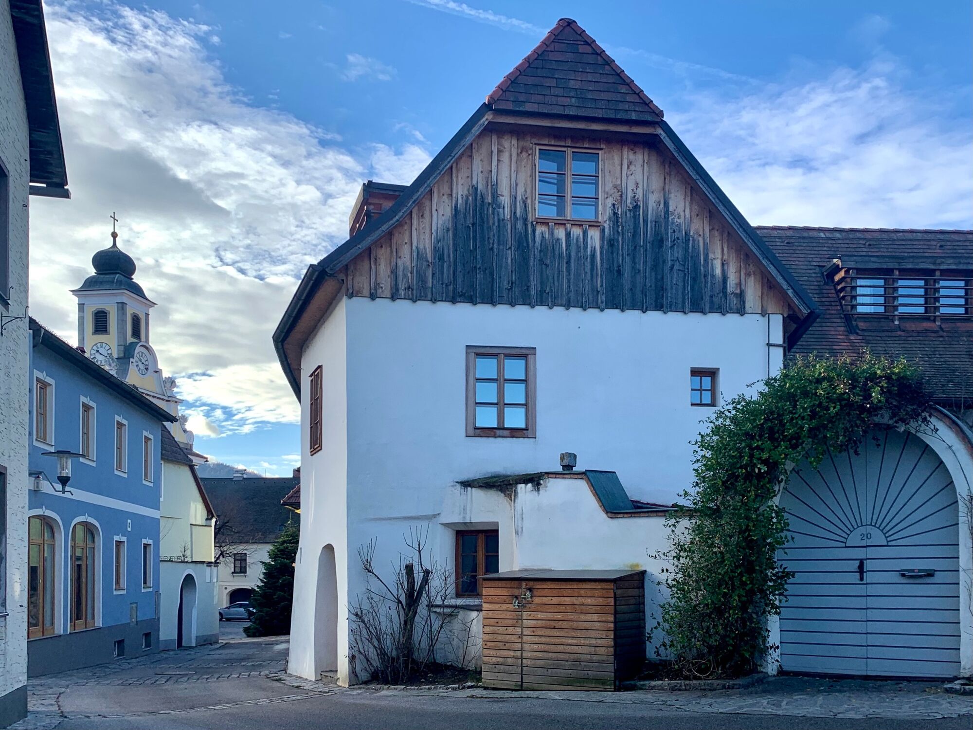
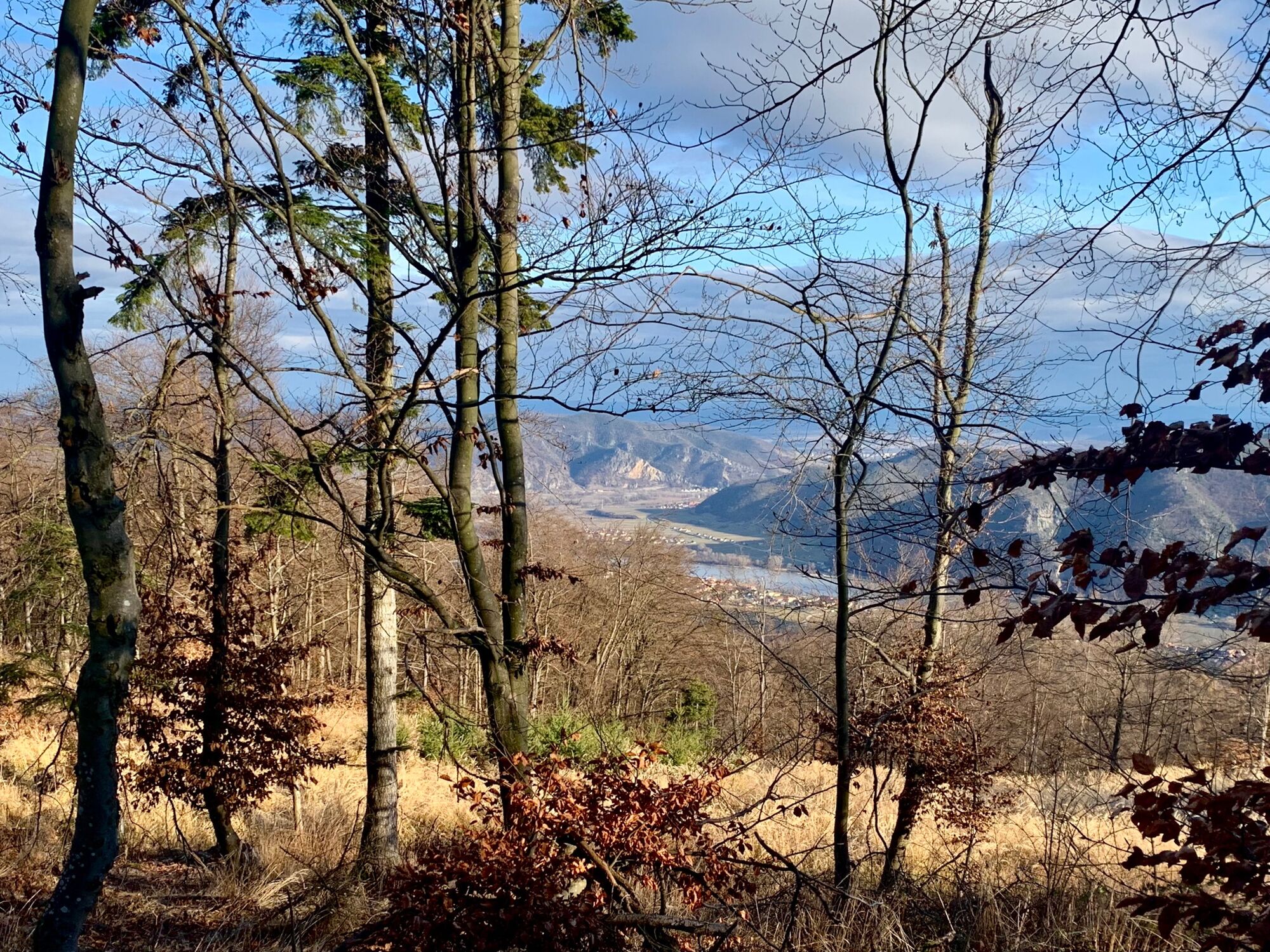
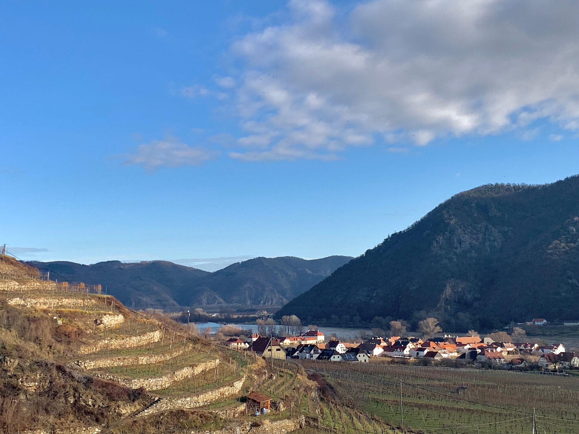
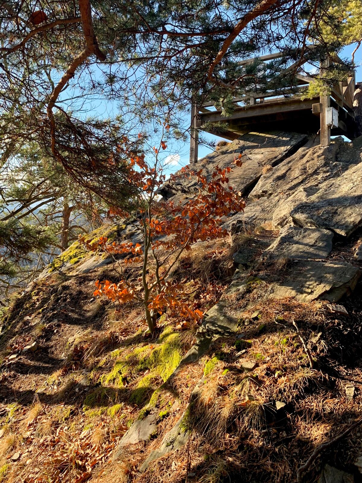
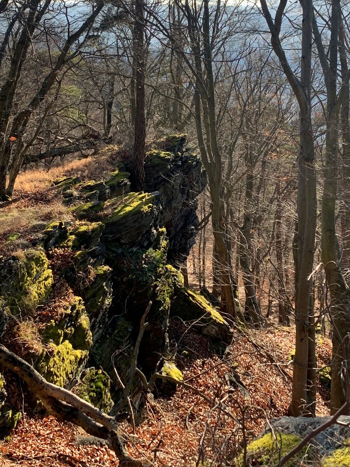
From Spitz an der Donau by bus to Wösendorf. Continue on foot on the access path to the World Heritage Trail in the direction of Buschandlwand. Magnificent view from the Gruberwarte. Descent to Spitz.
- Difficulté
-
moyen
- Évaluation
-
- Parcours
-
SpitzSpitz a.d. Donau0,1 kmMarterlhöhle0,9 kmMitterarnsdorf1,4 kmSankt Michael1,8 kmWehrkirche St. Michael1,8 kmBacharnsdorf2,1 kmWösendorf in der Wachau3,8 kmBuschandlwand (741 m)8,7 kmSpitz14,8 km
- Meilleure saison
-
janv.févr.marsavrilmaijuinjuil.aoûtsept.oct.nov.déc.
- Hauteur maximale
- 727 m
- Point de mire
-
Spitz on the Danube
- Profil en hauteur
-


-

-
AuteurLa randonnée Buschandlwand - from Wösendorf in the Wachau to Spitz on the Danube est utilisé par outdooractive.com fourni par.
GPS Downloads


Informations générales
Prometteur
Autres parcours dans les régions
-
Donau Niederösterreich
2289
-
Dunkelsteinerwald
1373
-
Spitz an der Donau
605


