


Dates des itinéraires
17,21km
661
- 1.434m
767hm
794hm
05:17h
- Brève description
-
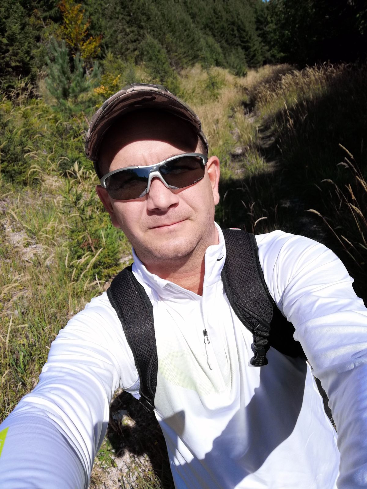
Wanderung abseits des Massenweges
- Difficulté
-
moyen
- Évaluation
-
- Parcours
-
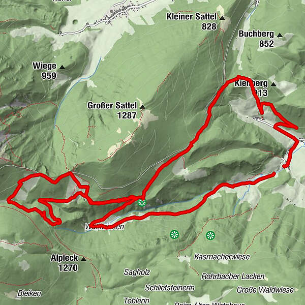
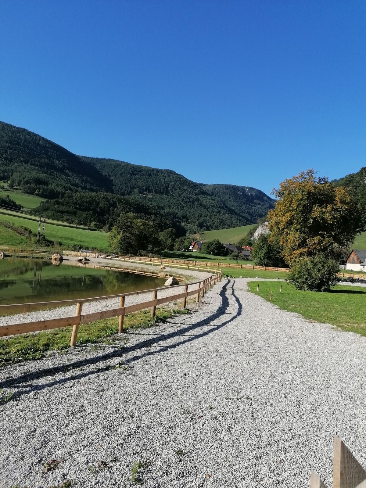
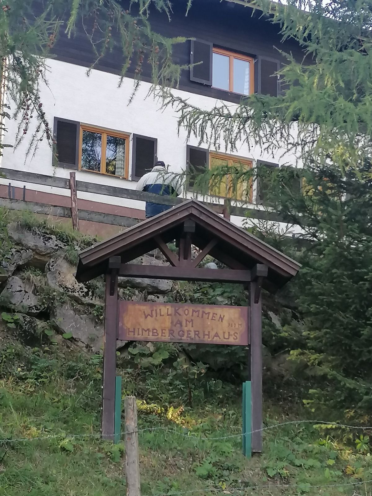
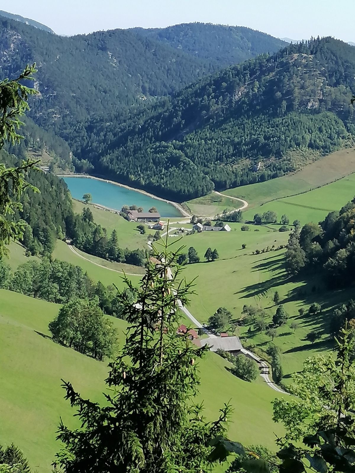
Schmalleiten0,5 kmHimberger Haus2,6 kmKaltwassersattel (1.324 m)5,9 kmBuchtelwirt6,4 kmBaumgartner (1.398 m)6,4 kmHengsthütte12,5 kmZahnradbahn-Schichtfuge II13,3 kmZahnradbahn-Schichtfuge II13,6 kmHauslitzsattel (830 m)13,8 kmArbestal14,9 kmHauwirt16,8 kmRohrbach im Graben16,9 kmMarias Land Stüberl17,1 km
- Meilleure saison
-
janv.févr.marsavrilmaijuinjuil.aoûtsept.oct.nov.déc.
- Hauteur maximale
- 1.434 m
GPS Downloads


Nature du chemin
Asphalte
(5%)
Gravier
(90%)
Pelouse
(5%)
Forêt
Rocher
Exposé
Autres parcours dans les régions
-
Wiener Alpen
3044
-
Semmering - Rax
2310
-
Puchberg am Schneeberg
881


