© ©Wiener Alpen, Foto: Franz Zwickl - Wiener Alpen in Niederösterreich Tourismus GmbH

© Wiener Alpen in Niederösterreich - Wiener Alpen in Niederösterreich Tourismus GmbH


© Wiener Alpen in Niederösterreich - Franz Zwickl (+43-664-3586350)

© Wiener Alpen in Niederösterreich - Franz Zwickl (+43-664-3586350)

© Wiener Alpen in Niederösterreich - Sophie Weinberger

© Wiener Alpen in Niederösterreich - Sophie Weinberger

© Wiener Alpen in Niederösterreich - Katrin Zeleny

© Wiener Alpen in Niederösterreich - Katrin Zeleny

© Wiener Alpen in Niederösterreich - Katrin Zeleny
- Brève description
-
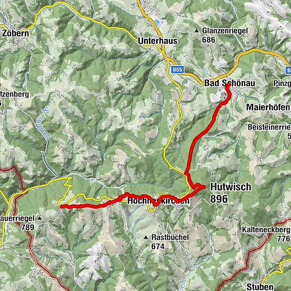
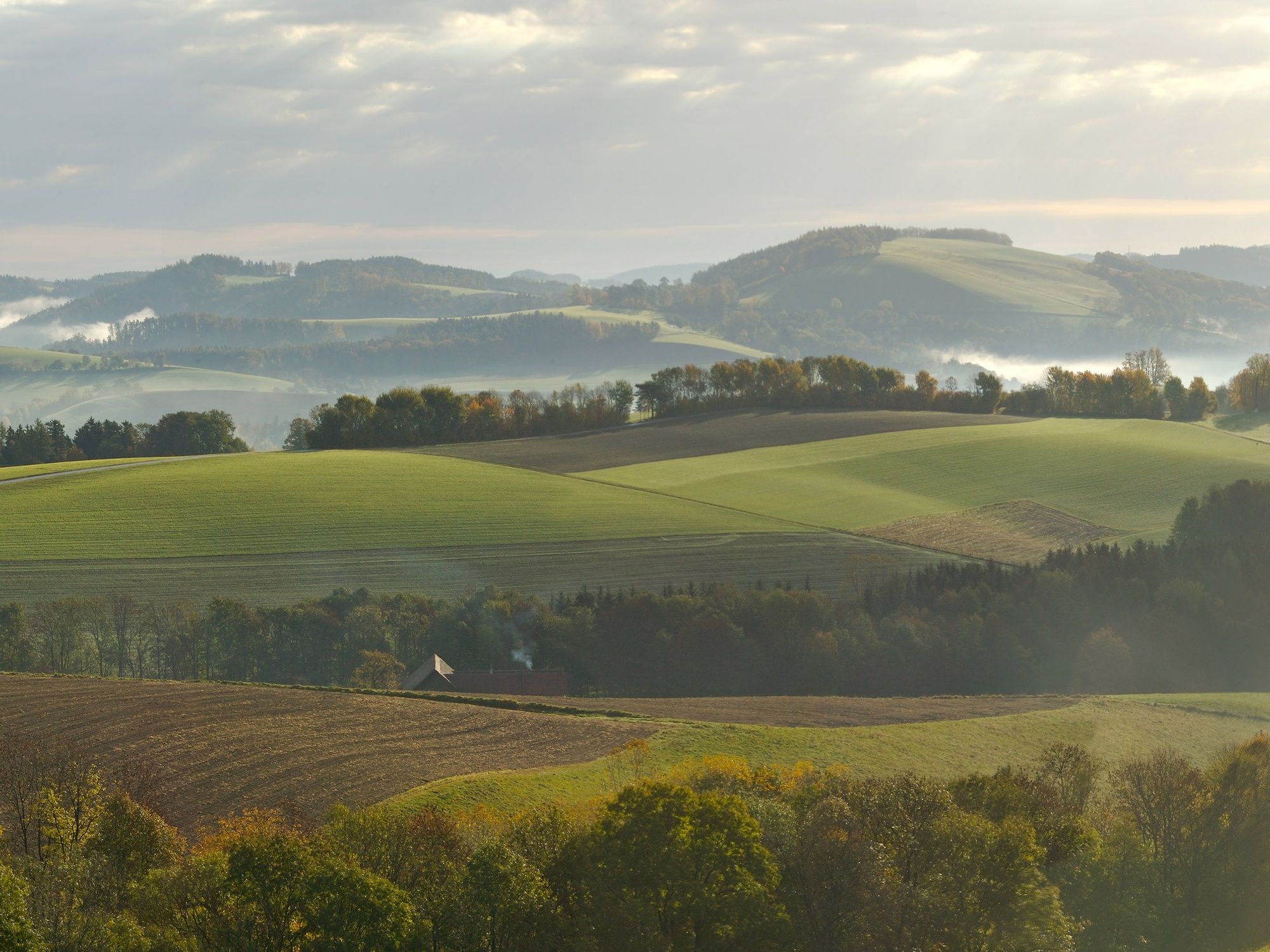
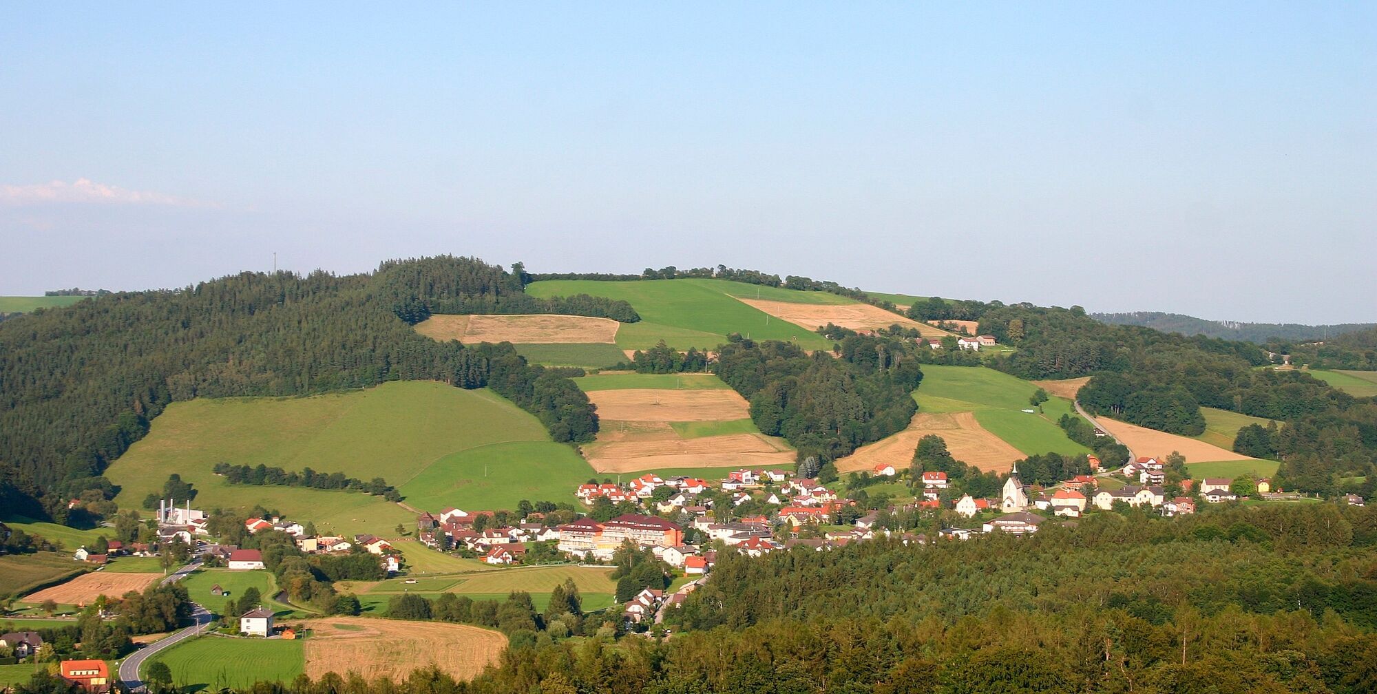
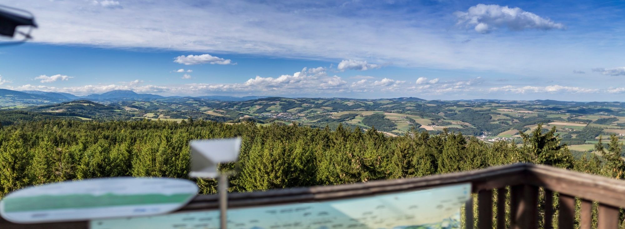
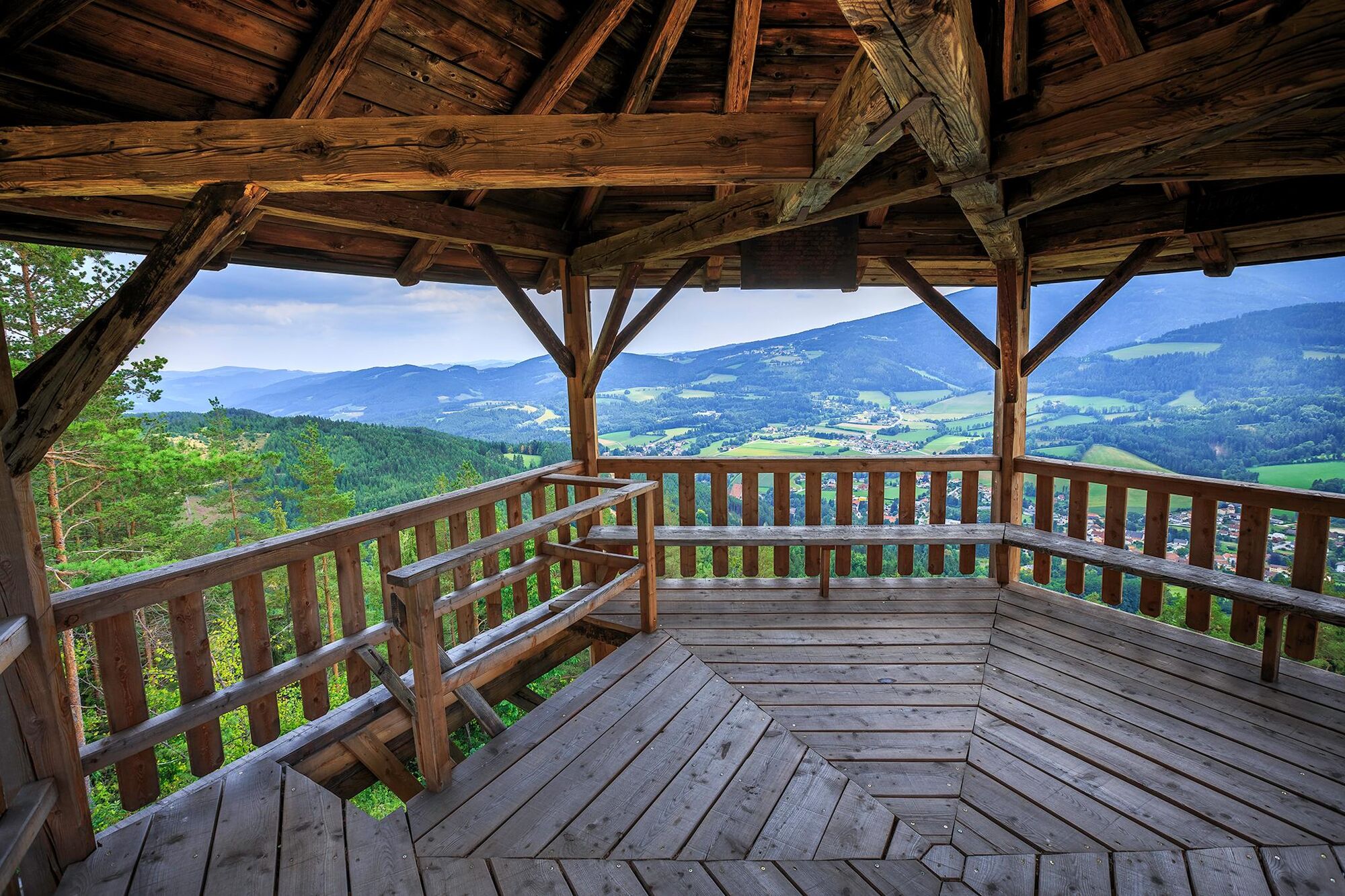
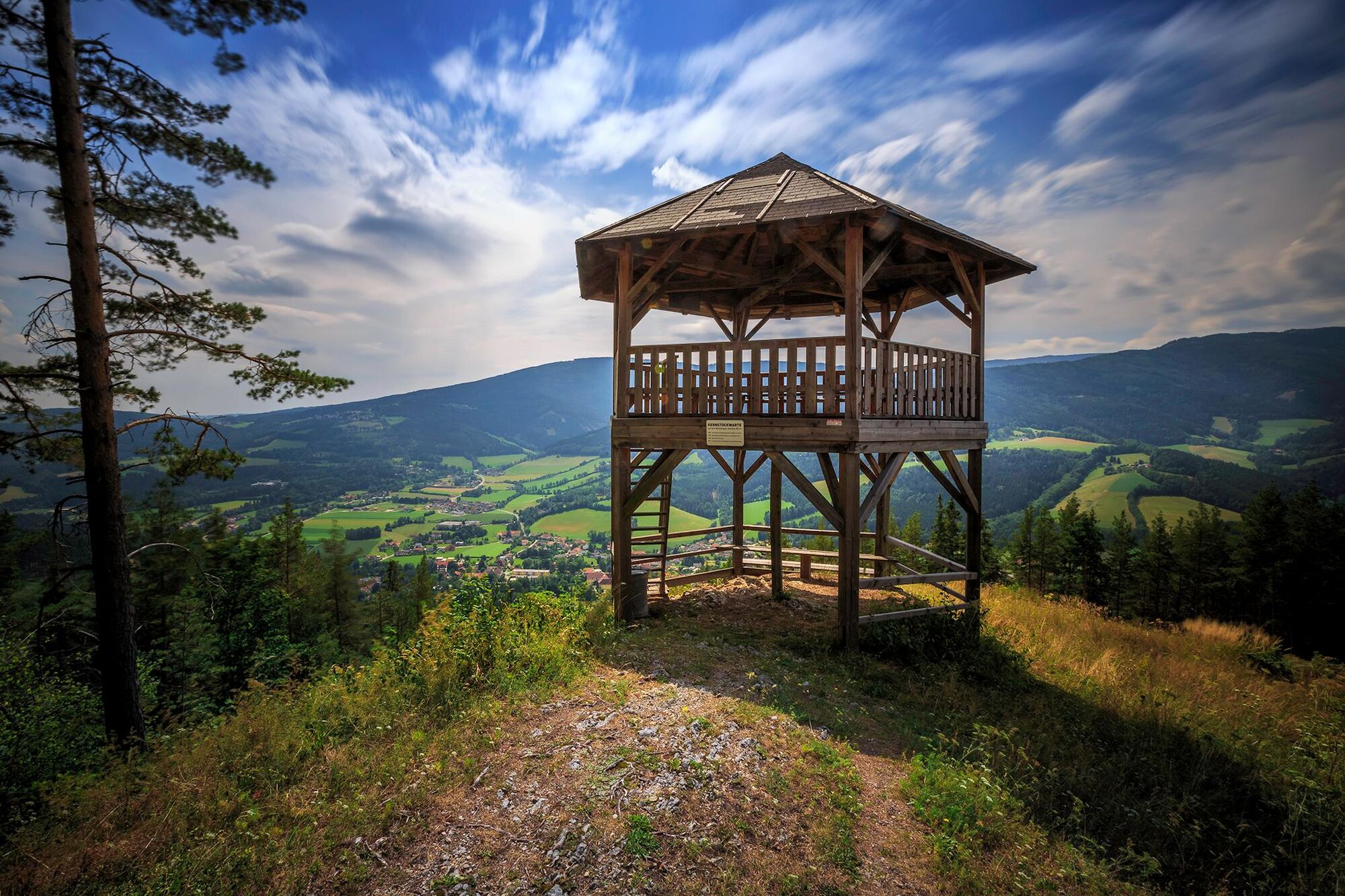
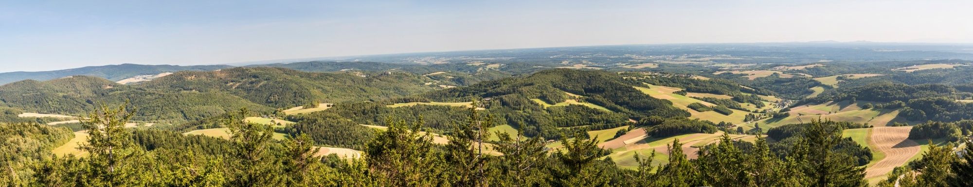
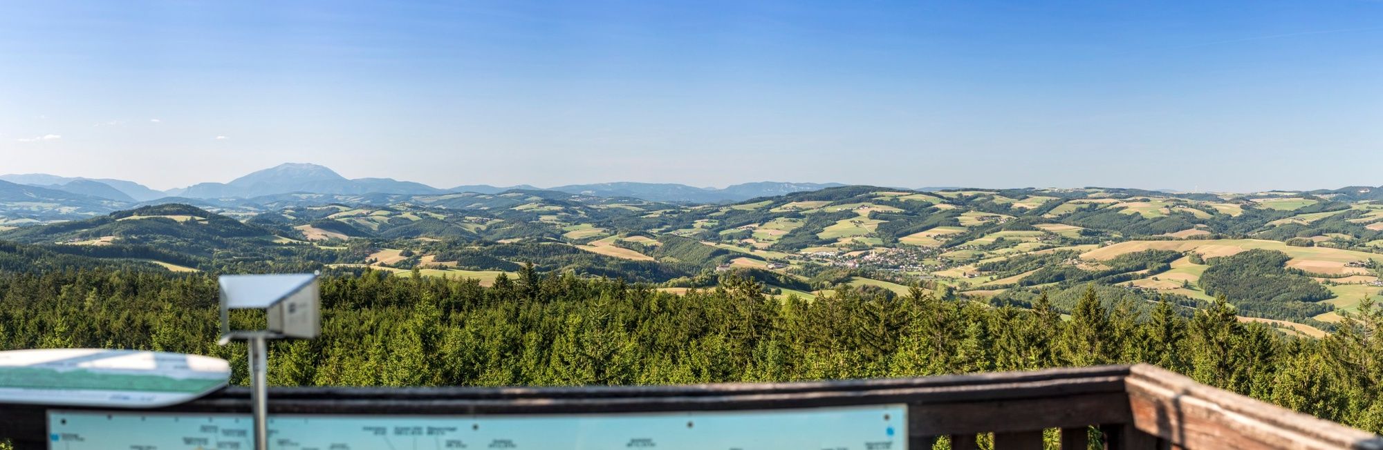
The 6th stage of the Viennese Alps route starts in Bad Schönau with the spa grounds as an initial attraction. After ascending the Hutwisch summit, enjoy a panoramic view of open countryside from the observation point.
- Difficulté
-
moyen
- Évaluation
-
- Parcours
-
Bad SchönauHutwisch (896 m)5,0 kmHochneukirchen7,0 kmPfarrkirche Hochneukirchen7,0 kmKirchenwirt7,0 kmGasthaus Ringhofer7,1 kmOrtskapelle9,2 kmHattmannsdorf9,3 kmKagerriegel (827 m)10,1 kmLandgasthof Höller11,1 kmGschaidt11,2 km
- Meilleure saison
-
janv.févr.marsavrilmaijuinjuil.aoûtsept.oct.nov.déc.
- Hauteur maximale
- 894 m
- Point de mire
-
Gschaidt, village centre
- Profil en hauteur
-


- Auteur
-
La randonnée WAB - Stage 6: Bad Schönau - Gschaidt est utilisé par outdooractive.com fourni par.
GPS Downloads


Informations générales
Prometteur
Autres parcours dans les régions