Hut hopping in the Raxalpe area (Number 4: mountain station - Ottohaus - Seehuette)

Randonnée

© ©Wiener Alpen, Foto: www.eva-gruber.com - Wiener Alpen in Niederösterreich

© ©Wiener Alpen, Foto: Janos Kalmar - Wiener Alpen in Niederösterreich Tourismus GmbH

© ÖAV-Hüttenfinder - Sektion Reichenau

© AV-alpenvereinaktiv.com - Harald Herzog
Dates des itinéraires
10,88km
1.545
- 1.788m
350hm
361hm
03:45h

- Brève description
-
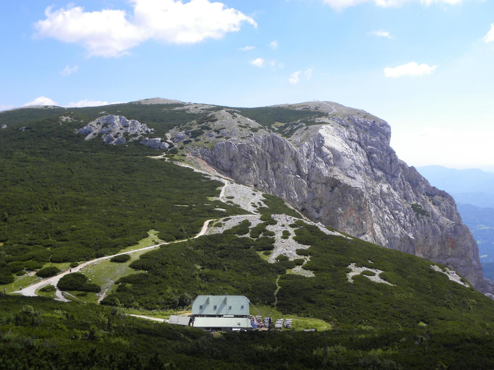
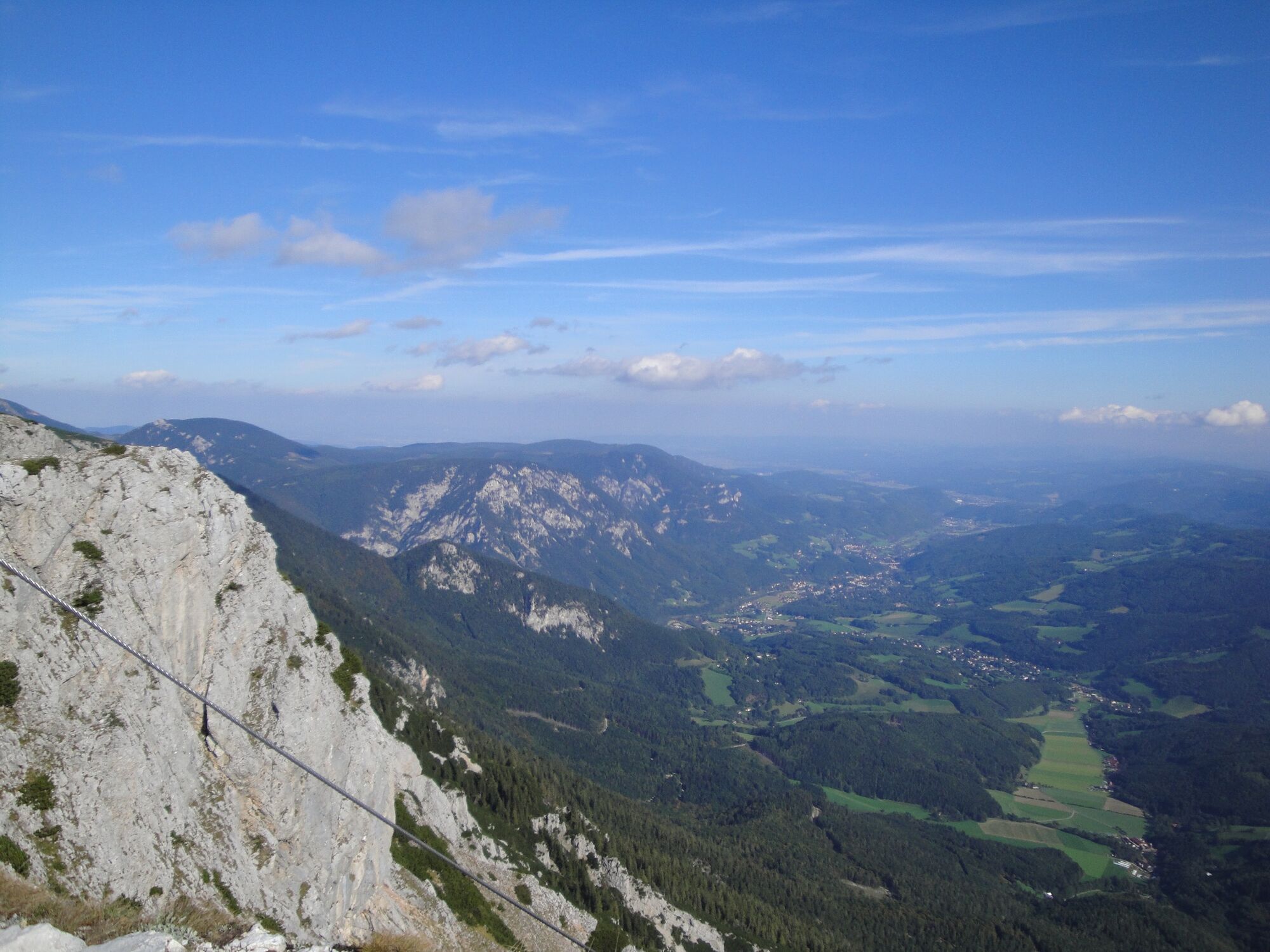
Hiking from hut to hut – “hut hopping” – in the Rax is one of the most popular trails in the region. It means being able to hike in subalpine heights, through meadows and the mountain pine zone, without having to tackle difficult gradients.
- Difficulté
-
moyen
- Évaluation
-
- Parcours
-
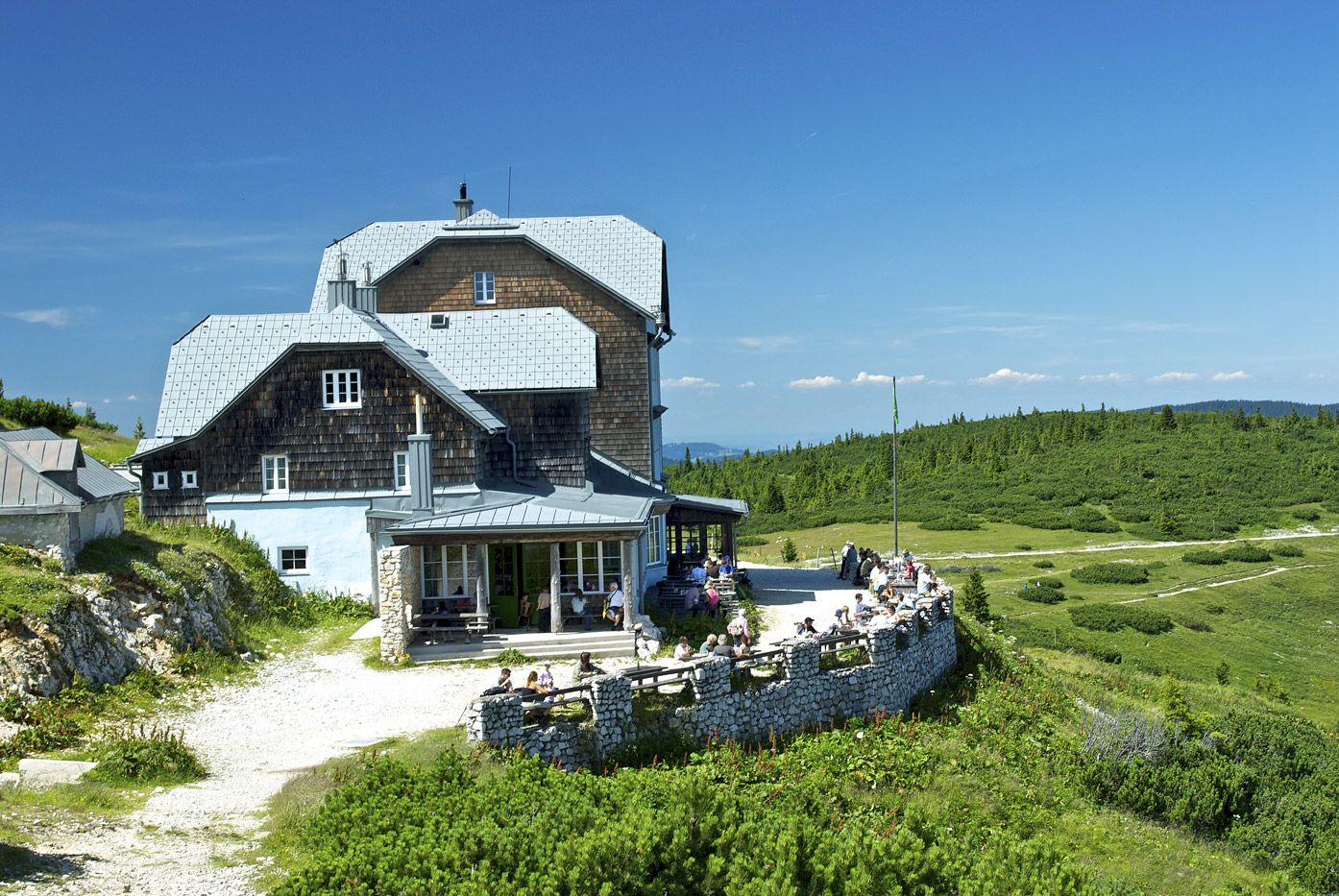
BerggasthofPraterstern (1.623 m)1,5 kmKönigsschusssattel (1.654 m)5,3 kmNeue Seehütte5,3 kmBrach5,4 kmPreiner Wand (1.783 m)6,3 kmQuartetthöhle6,3 kmPreinerwandsteighöhle6,4 kmDuohöhle6,4 kmHohe Kanzel (1.699 m)7,7 kmHohe-Kanzel-Höhle7,8 kmJakobskogel (1.737 m)8,4 kmJakobshöhle I8,5 kmHöhlenruine8,5 kmJakobskogelschacht8,8 kmVilma-Haid-Aussicht8,8 kmOttohaus8,9 kmPraterstern (1.623 m)9,1 kmBerggasthof10,7 km
- Meilleure saison
-
janv.févr.marsavrilmaijuinjuil.aoûtsept.oct.nov.déc.
- Hauteur maximale
- 1.788 m
- Point de mire
-
Raxalpen Berggasthof, summit station of the Rax aerial cableway
- Profil en hauteur
-


- Auteur
-
La randonnée Hut hopping in the Raxalpe area (Number 4: mountain station - Ottohaus - Seehuette) est utilisé par outdooractive.com fourni par.
GPS Downloads


Informations générales
Point de rassemblement
Flore
Prometteur
Autres parcours dans les régions
-
Hochsteiermark
4066
-
Waldheimat
2182
-
Reichenau / Rax - Raxalpe
930


