

© ZWalk.at
© ZWalk.at
© ZWalk.at
Dates des itinéraires
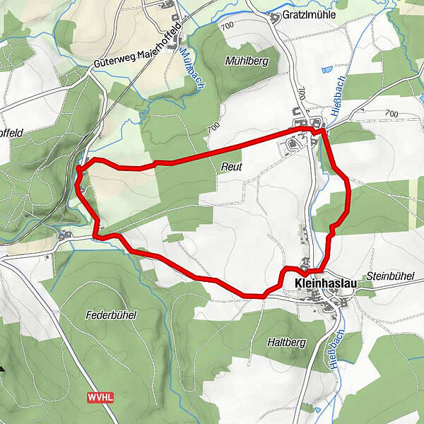
4,52km
701
- 744m
32hm
01:30h
- Brève description
-
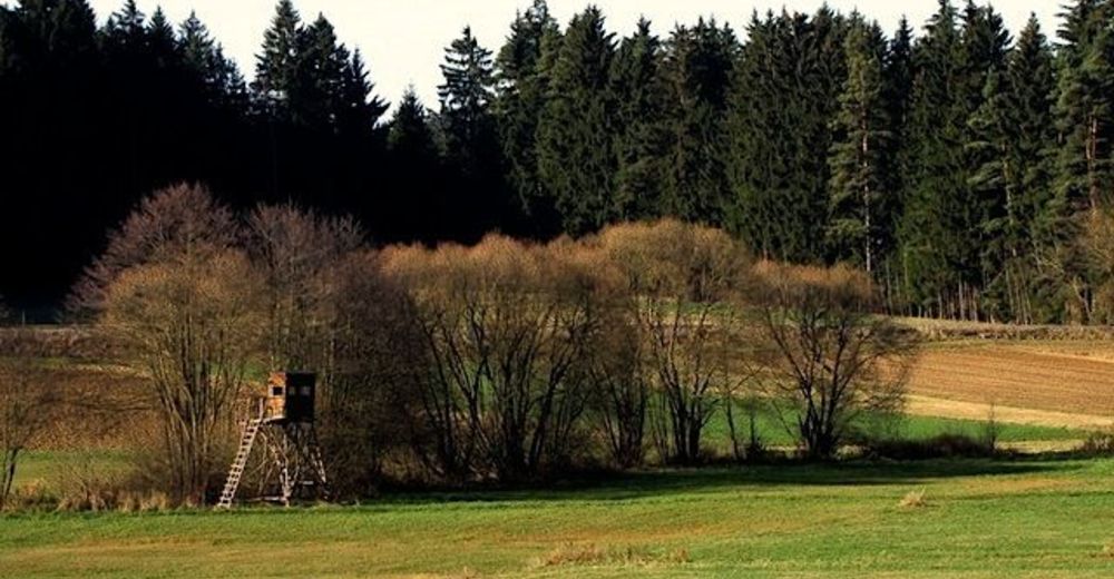
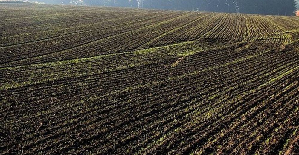
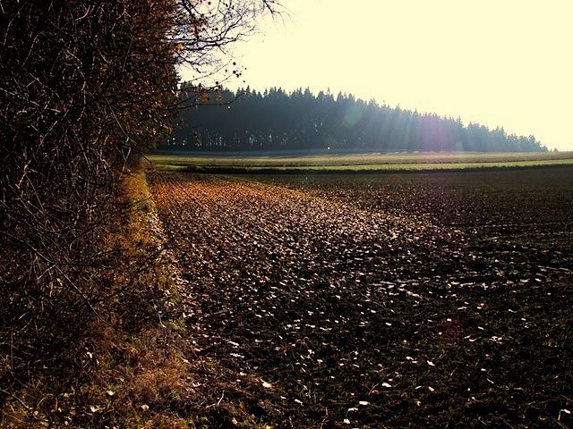
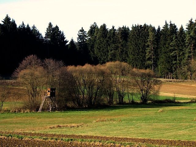
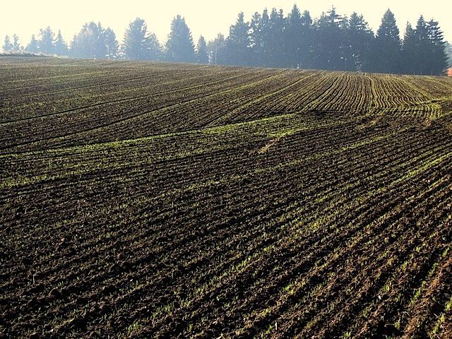
Die Tour führt durch eine typische, leicht hügelige Waldviertler Landschaft. Es geht durch Felder, Wiesen und Wälder, die sich ständig abwechseln.
- Difficulté
-
facile
- Évaluation
-
- Point de départ
-
Kamles
- Parcours
-
Kamles0,0 kmRitschgraben1,6 kmKleinhaslau3,4 kmKamles4,4 km
- Hauteur maximale
- 744 m
- Source
- ZWalk
GPS Downloads


Nature du chemin
Asphalte
Gravier
Pelouse
Forêt
Rocher
Exposé
Autres parcours dans les régions
-
Waldviertel
1776
-
Waldviertel Mitte
1246
-
Sallingberg
229


