
Dates des itinéraires
18,2km
711
- 1.994m
1.217hm
1.255hm
04:34h

- Brève description
-
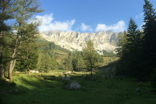
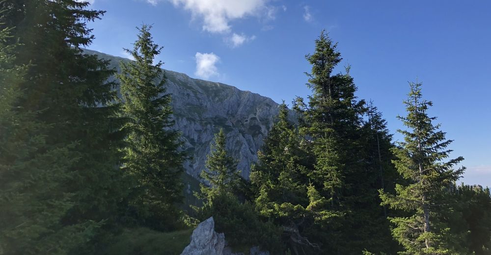
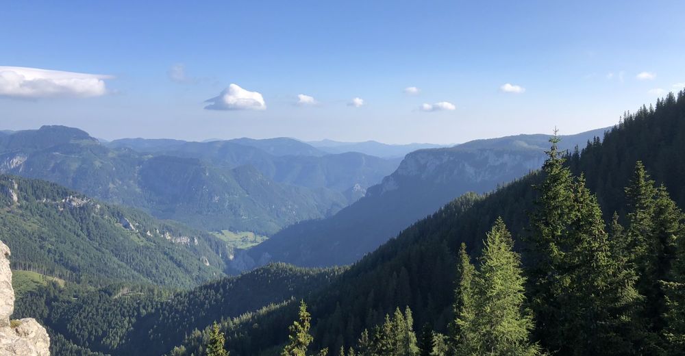
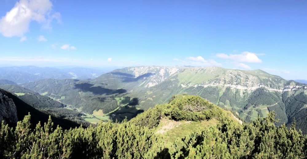
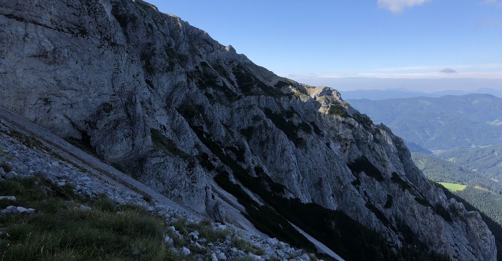
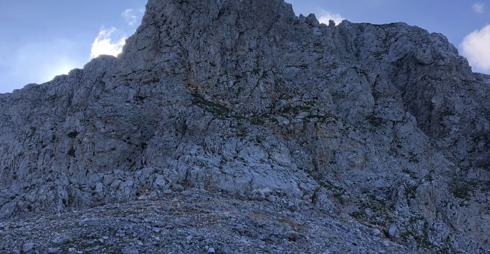
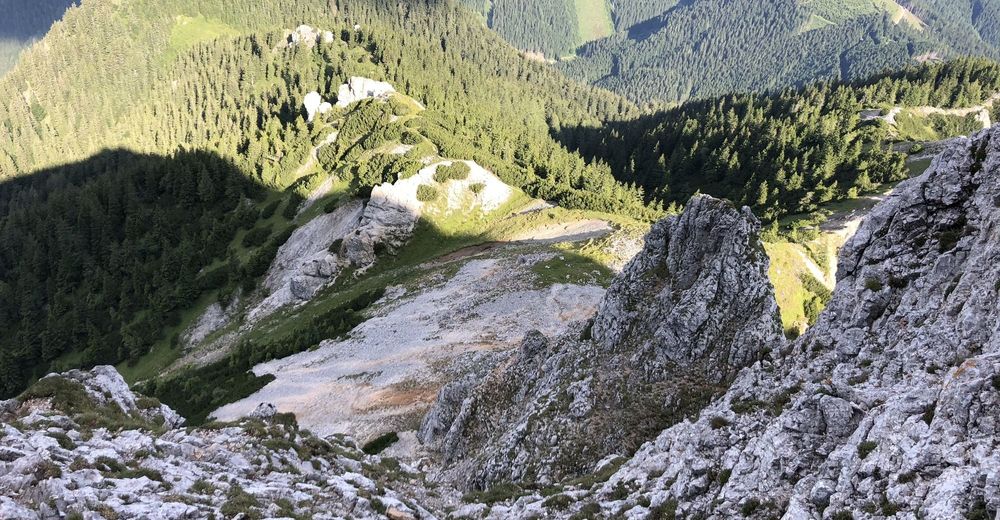
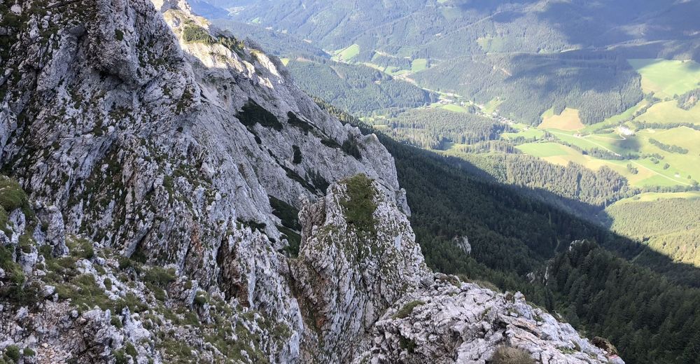
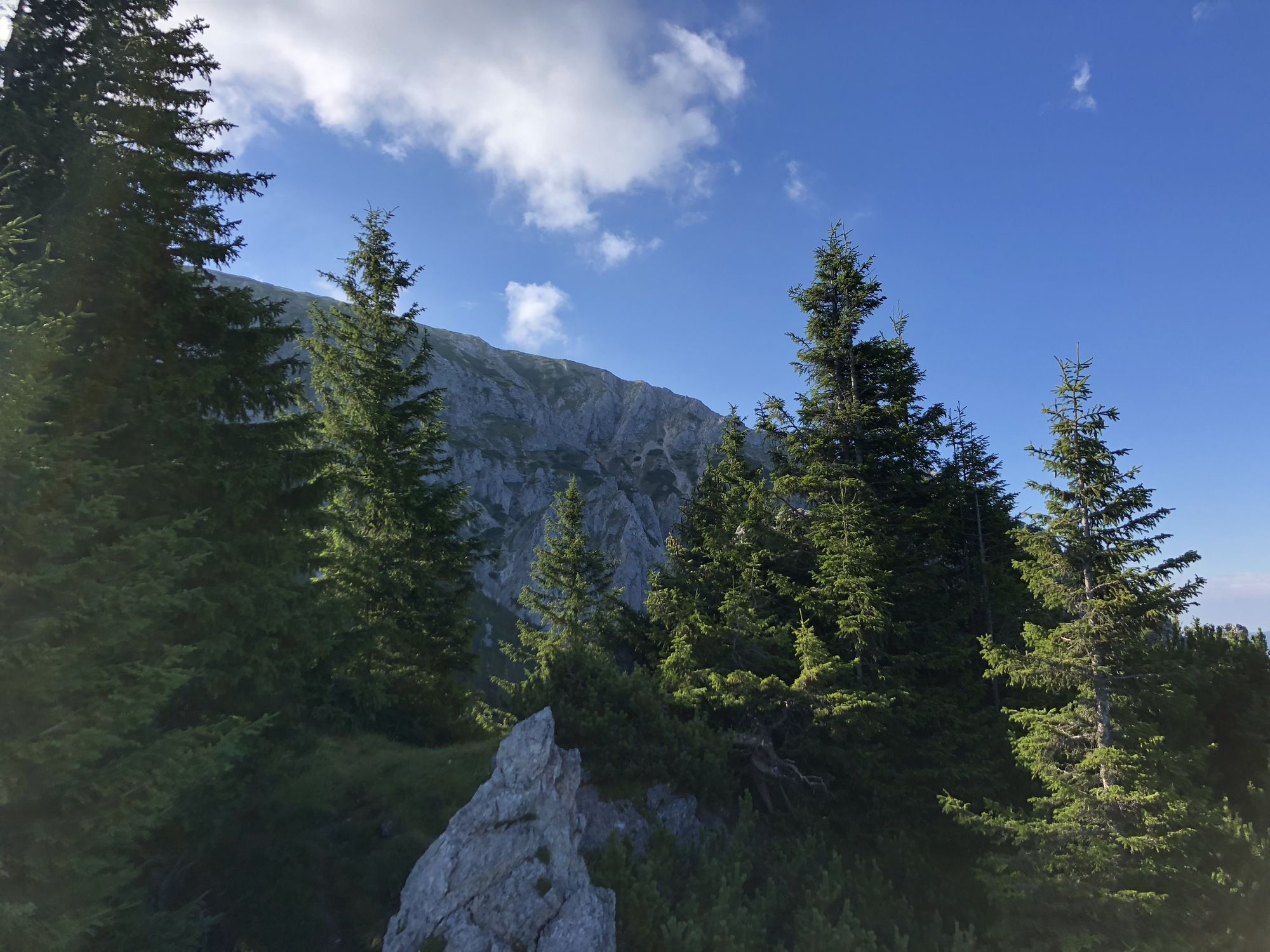
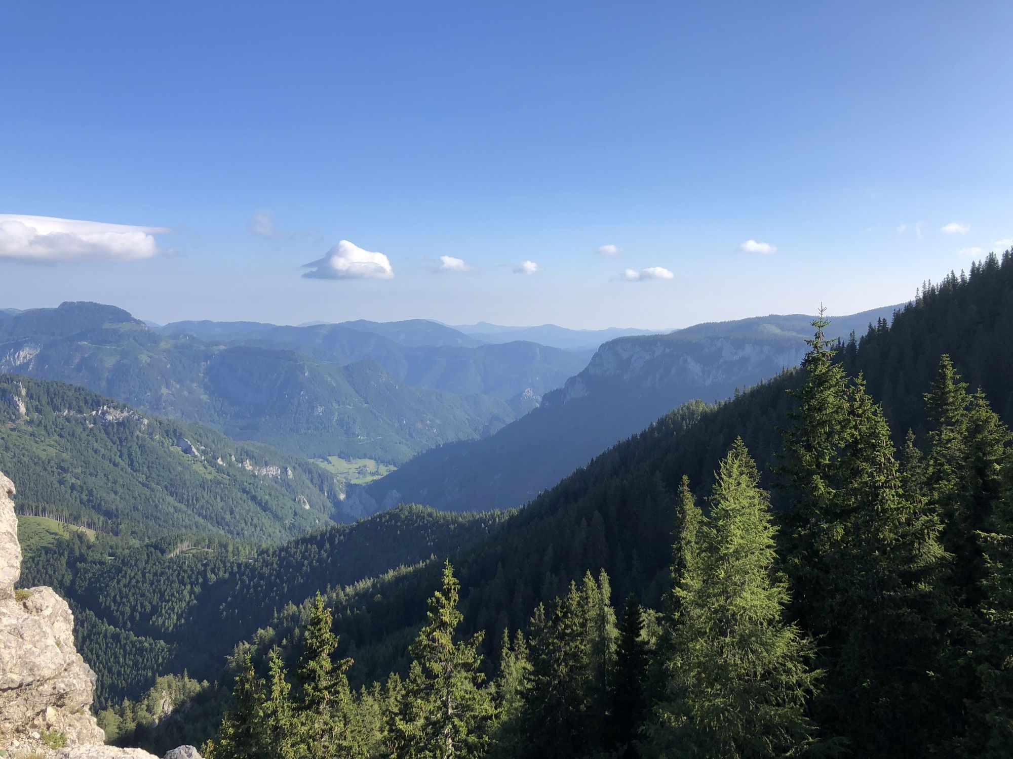
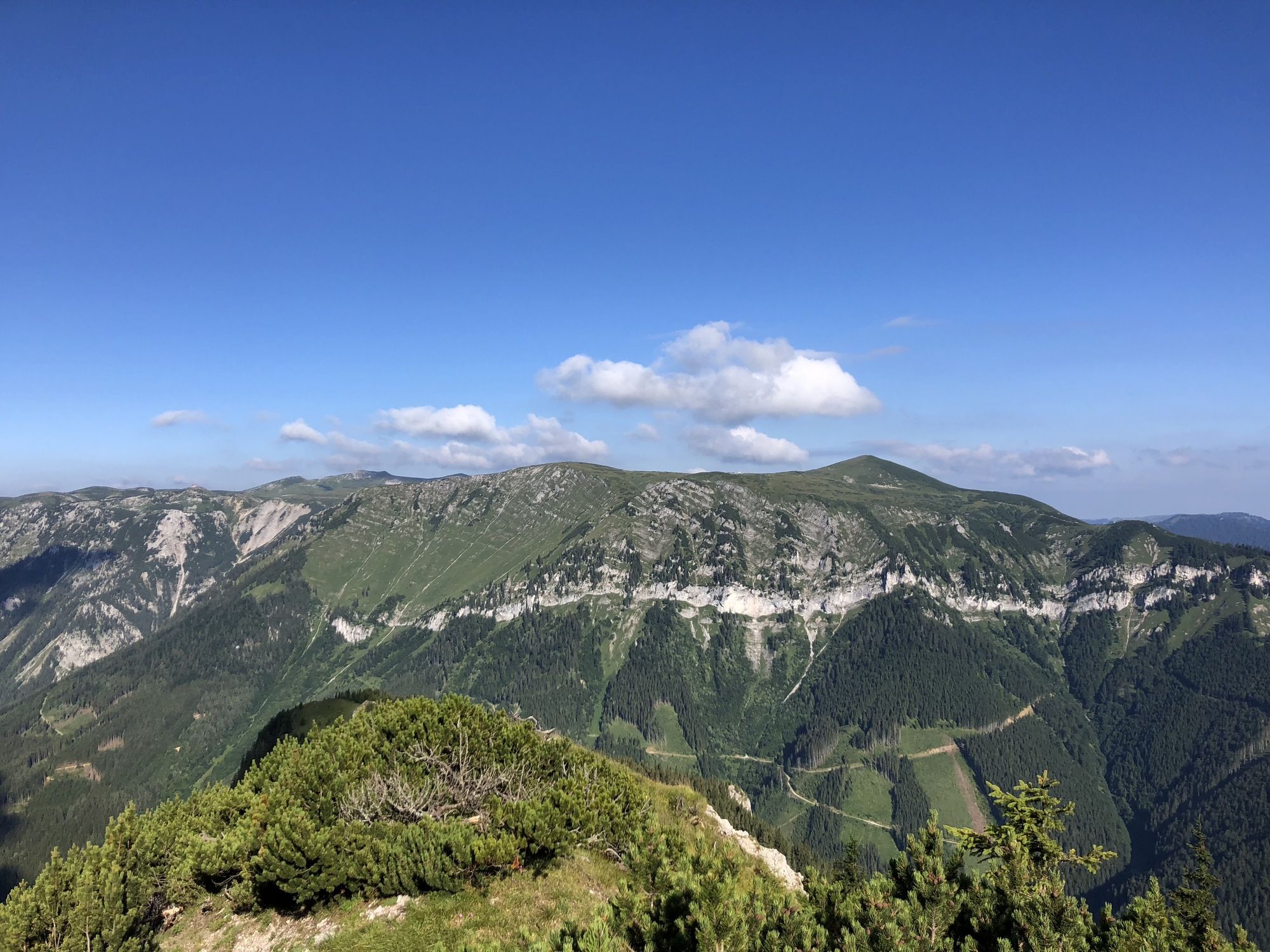
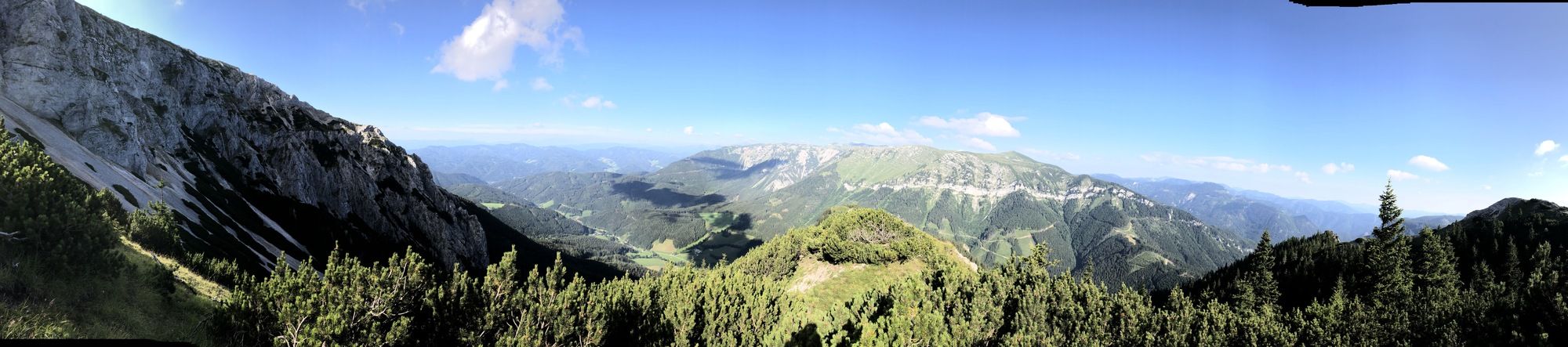
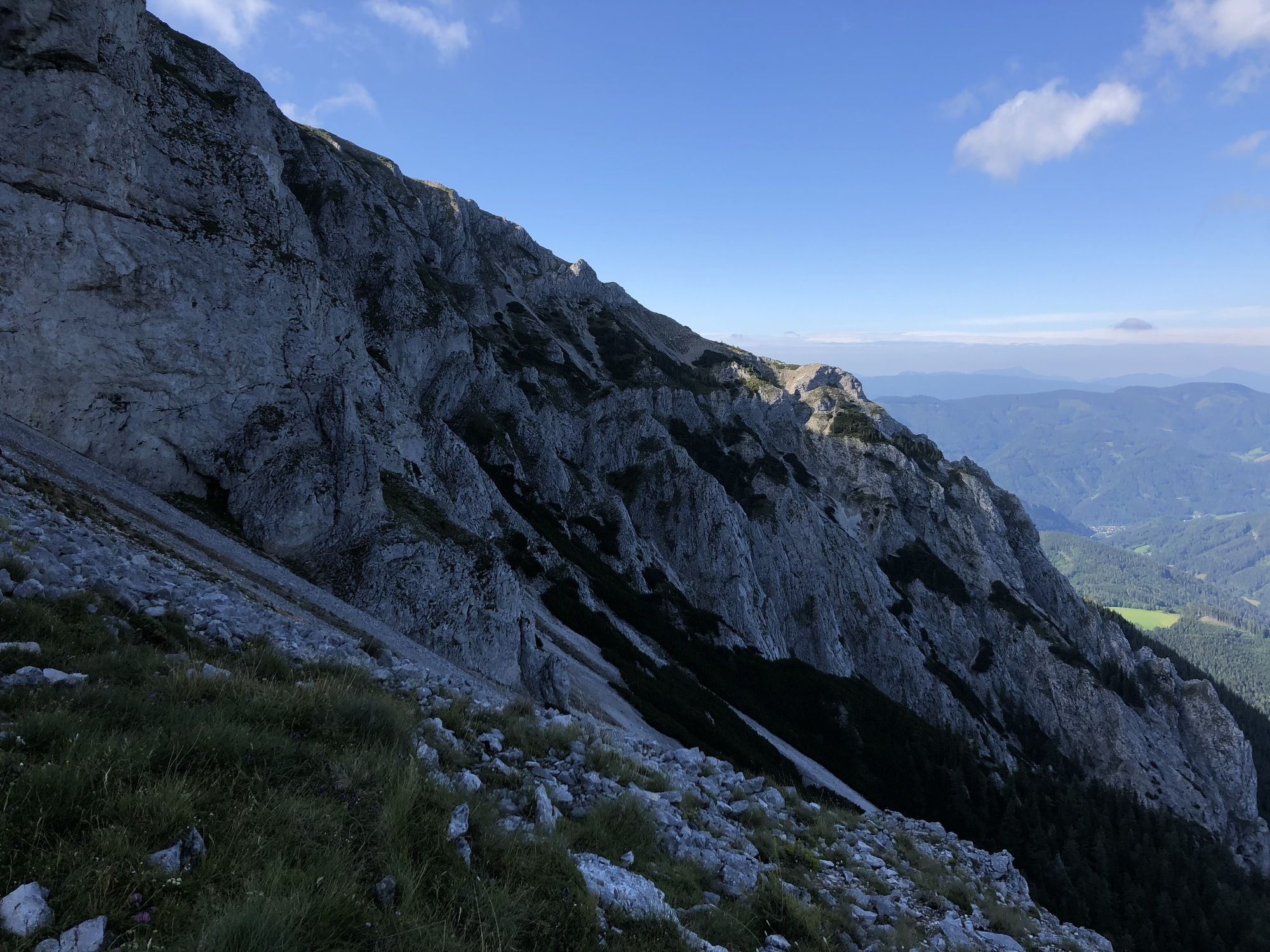
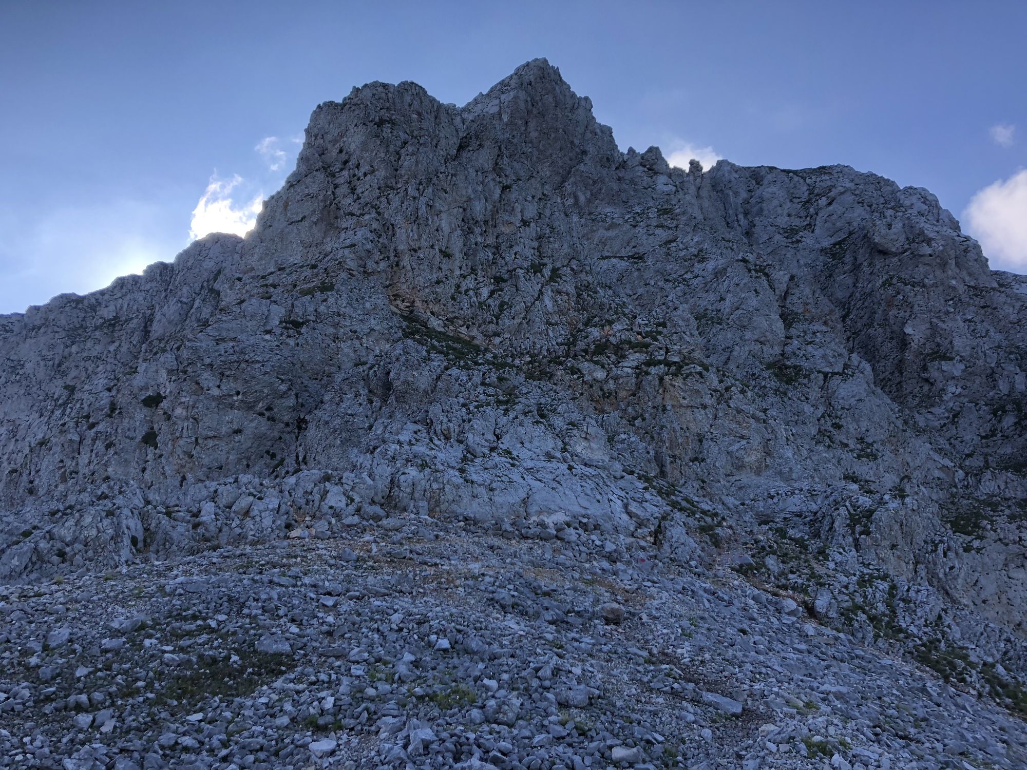
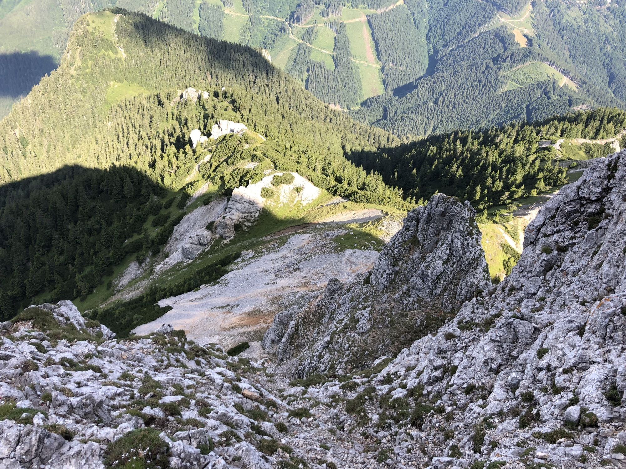
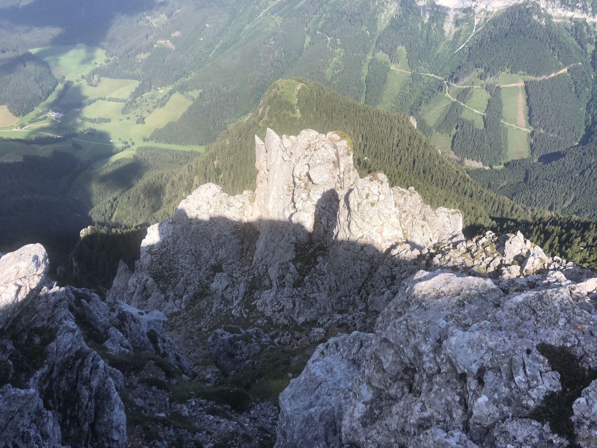
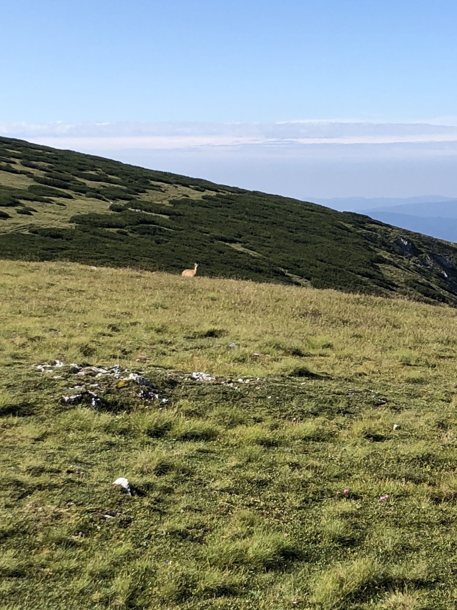
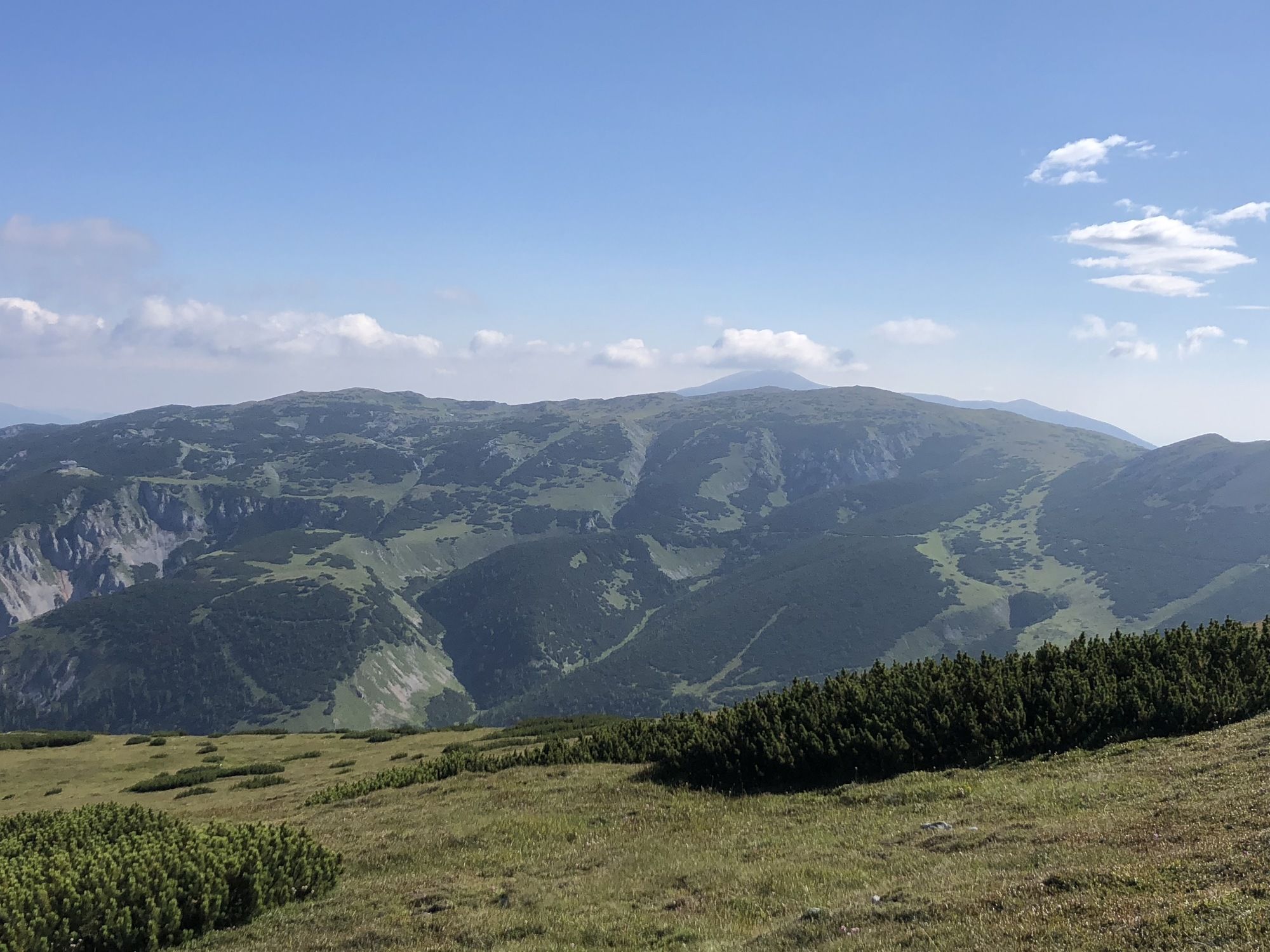
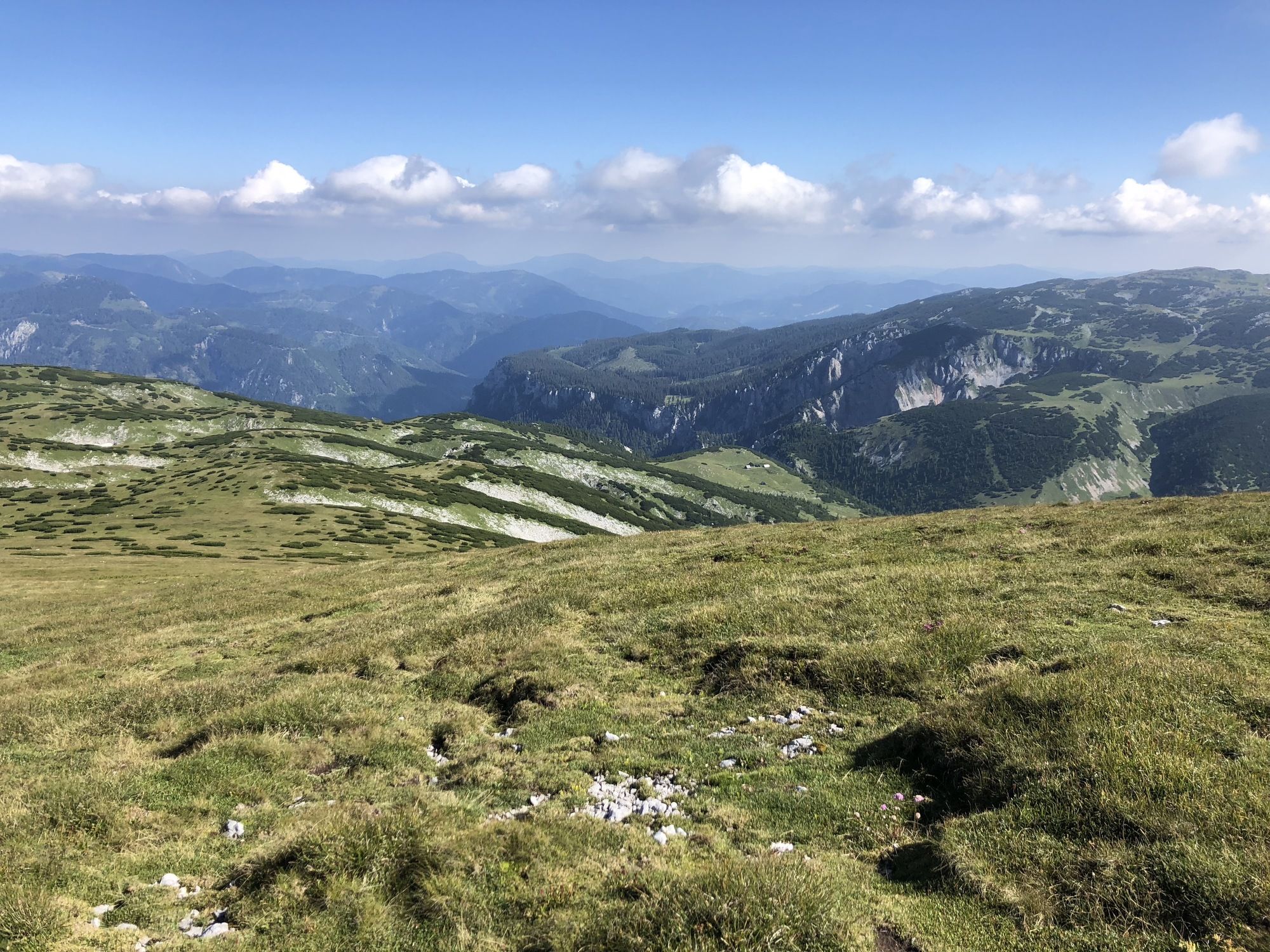
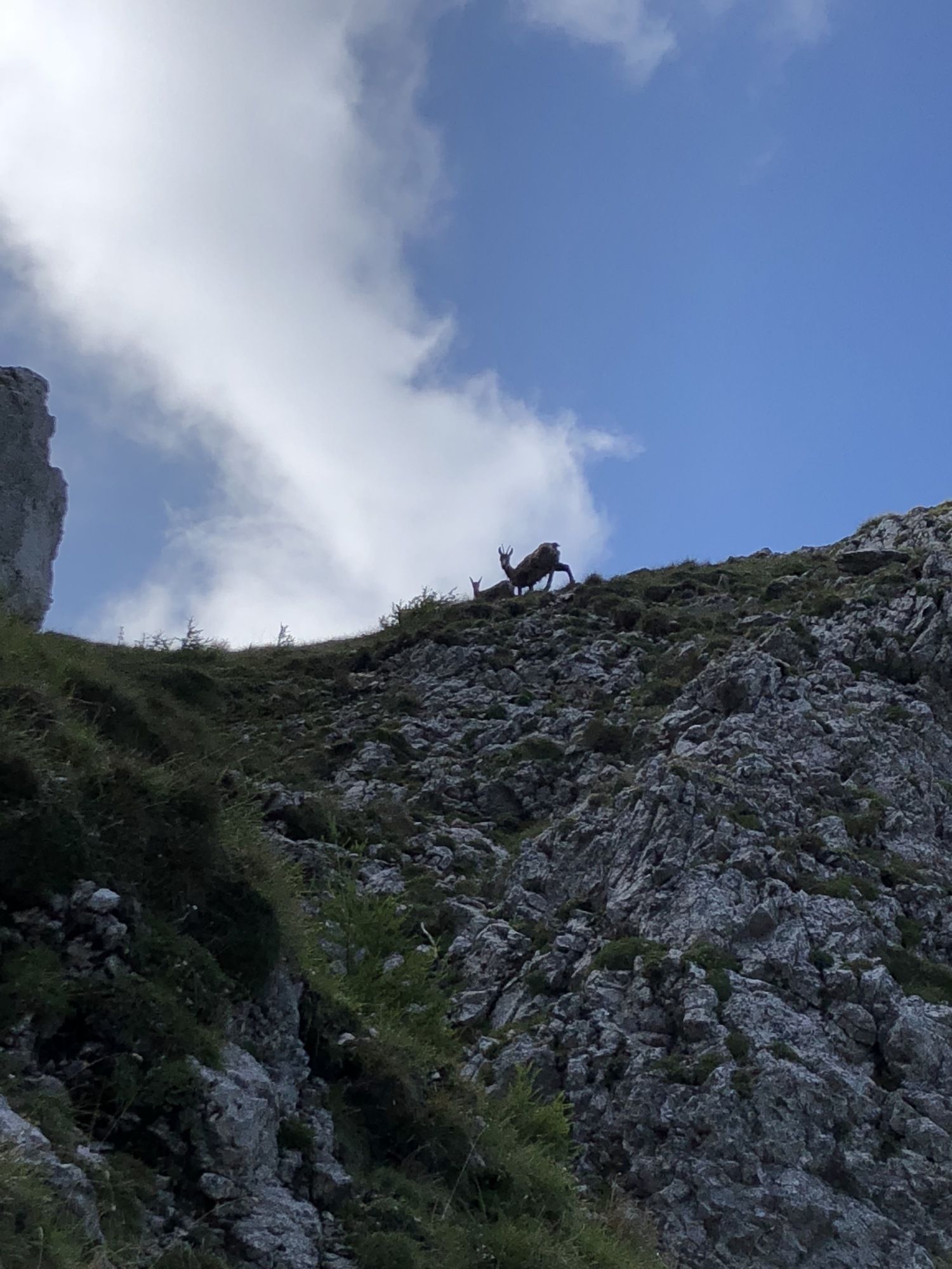
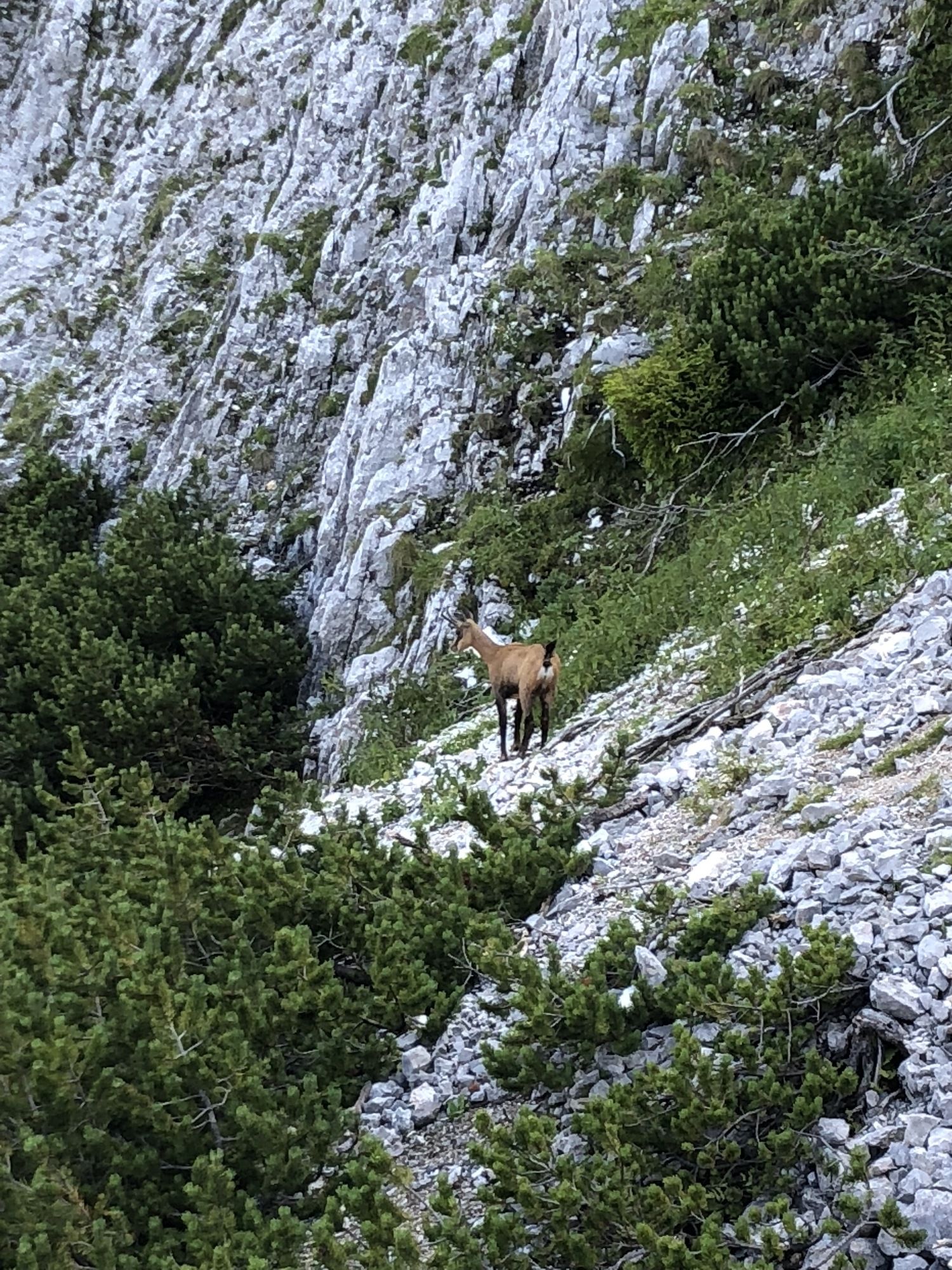
Hinternaßwald-Nasskamm-Wildes Gamseck-Heukuppe-Zahmes Gamseck-Nasskamm-Hinternaßwald
- Difficulté
-
moyen
- Évaluation
-
- Point de départ
-
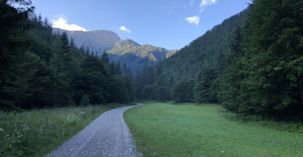
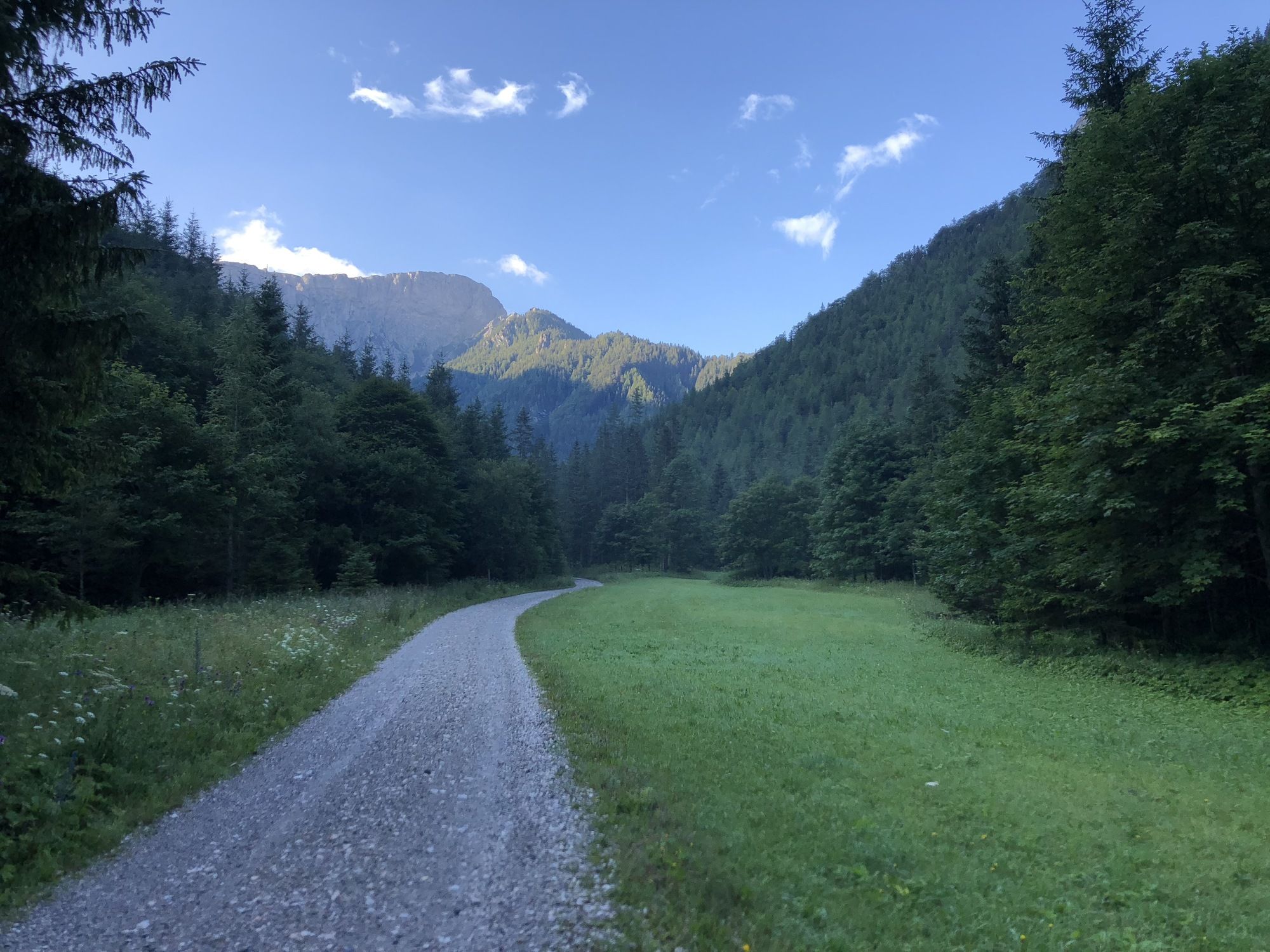
Hinternasswald
- Parcours
-
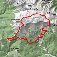
HinternaßwaldReißtalquelle0,2 kmReißtalklammhöhle0,9 kmReißbach-Halbhöhle1,0 kmKleine Nass (1.209 m)4,0 kmLinker Gamseckfall5,2 kmRechter Gamseckfall5,3 kmGupfsattel5,9 kmGamseck (1.857 m)7,1 kmHeukuppe (2.007 m)8,6 kmGupfsattel11,6 kmRechter Gamseckfall12,2 kmLinker Gamseckfall12,4 kmKleine Nass (1.209 m)13,5 kmReißtalquelle17,6 kmHinternaßwald17,9 km
- Meilleure saison
-
janv.févr.marsavrilmaijuinjuil.aoûtsept.oct.nov.déc.
- Hauteur maximale
- 1.994 m
- Point de mire
-
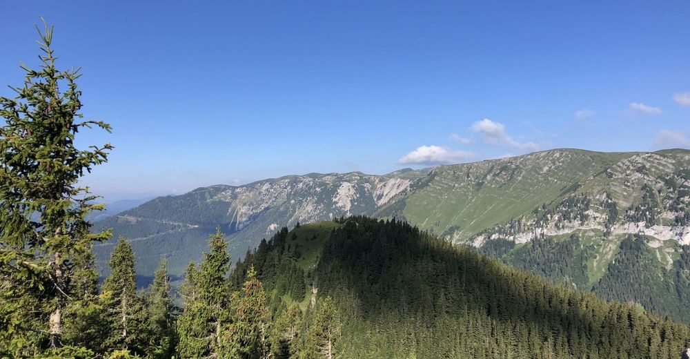
Heukuppe


GPS Downloads


Autres parcours dans les régions
-
Hochsteiermark
4084
-
Waldheimat
2198
-
Altenberg an der Rax
566