© Unbekannt - Christian Handl

© Wienerwald Tourismus GmbH / Andreas Hofer

© Unbekannt - Wienerwald Tourismus

© Unbekannt - Wienerwald Tourismus
- Brève description
-
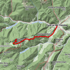
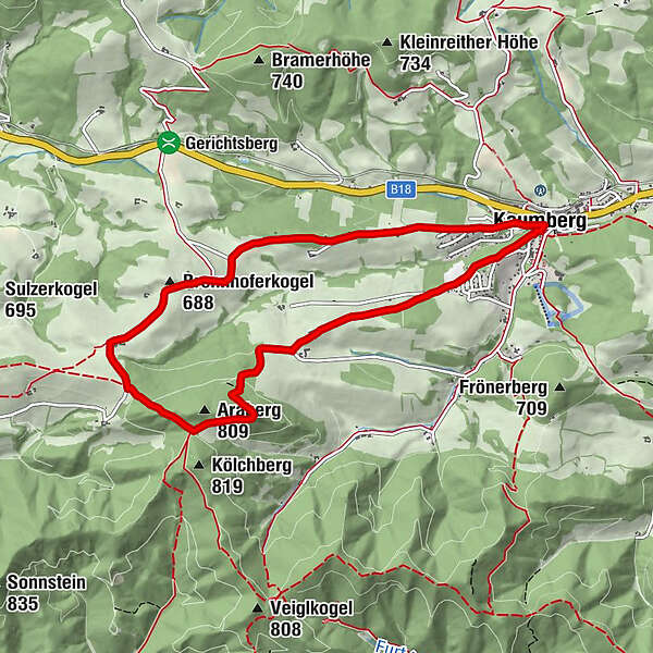
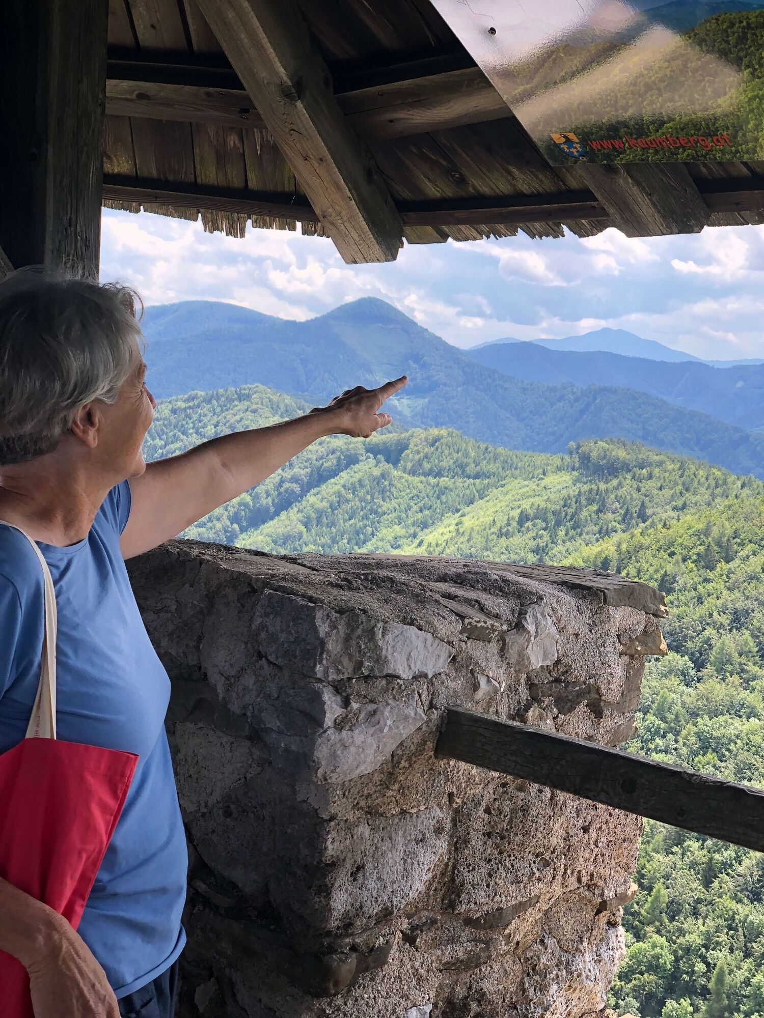
Kaumberg is the westernmost district in Triestingtal. It is situated just before the Gerichtsberg, which marks the border between Triestingtal and Gölsental. The difference between the rolling hills of the Vienna Woods and the foothills of the Alps is already clearly visible. Short hikes through the hilly landscapes to the north and east of the town of Kaumberg are possible.
- Difficulté
-
facile
- Évaluation
-
- Parcours
-
Zum schwarzen BärenKaumberg0,0 kmKirchenwirt0,0 kmBurgstüberl Araburg3,3 kmBrennhoferkogel (688 m)5,5 kmKaumberg8,5 kmKirchenwirt8,6 kmZum schwarzen Bären8,6 km
- Meilleure saison
-
janv.févr.marsavrilmaijuinjuil.aoûtsept.oct.nov.déc.
- Hauteur maximale
- 780 m
- Point de mire
-
Kaumberg, Marktplatz
- Profil en hauteur
-


- Auteur
-
La randonnée Circular route to Araburg est utilisé par outdooractive.com fourni par.
GPS Downloads


Informations générales
Point de rassemblement
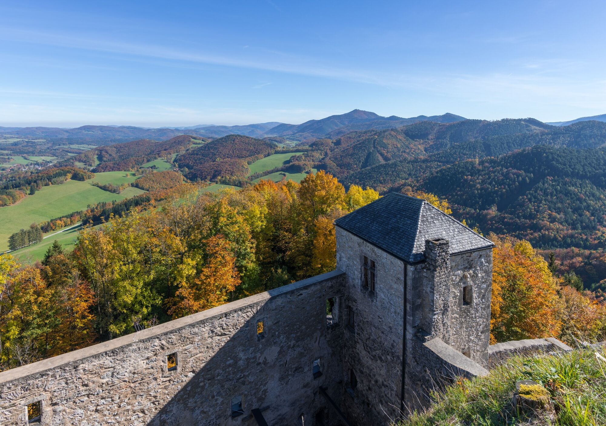
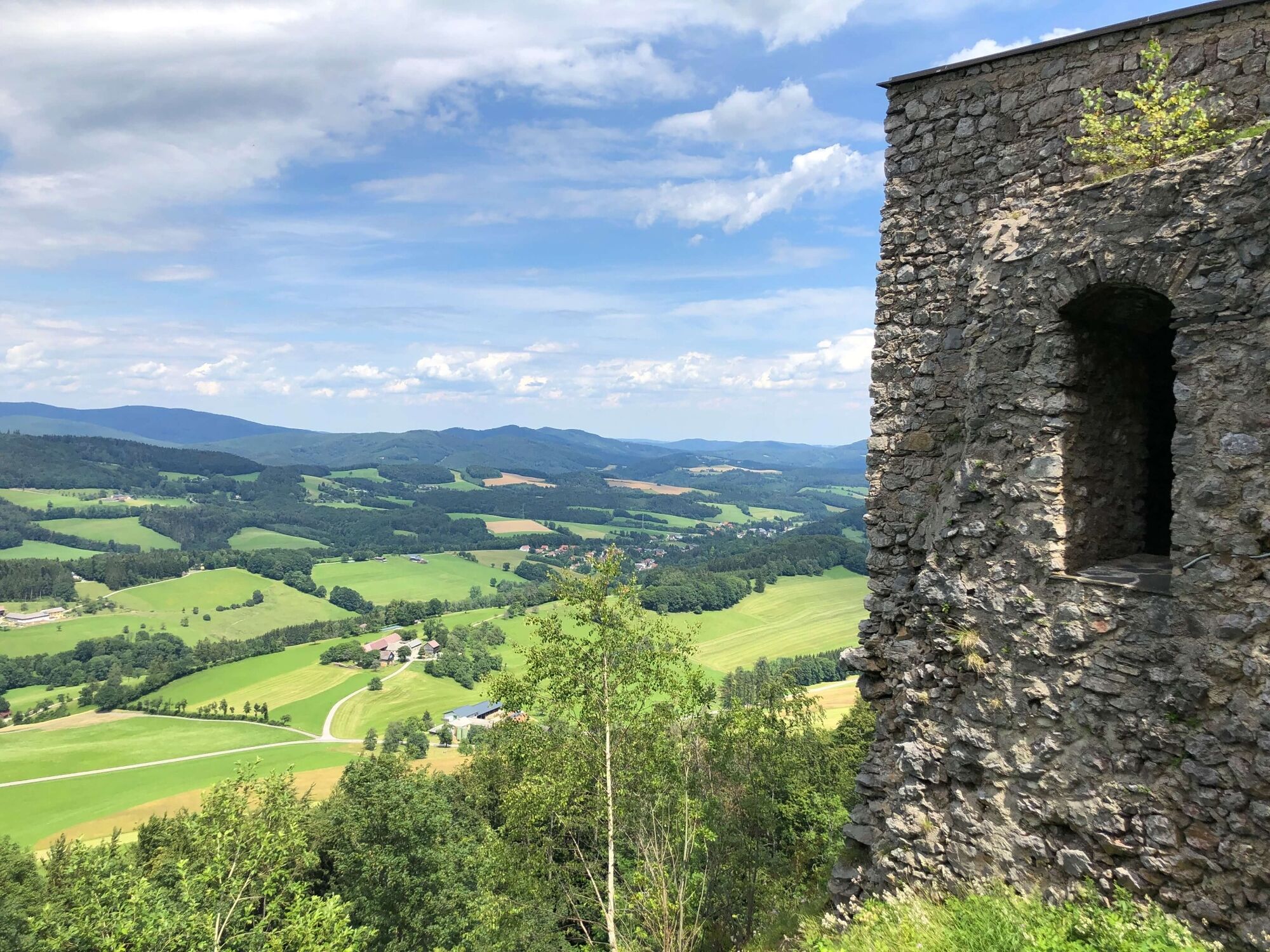
Culturel/Historiquement
Prometteur
Autres parcours dans les régions
-
Wienerwald
4213
-
Elsbeere-Wienerwald
1216
-
Kaumberg
466