- Brève description
-
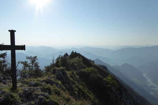
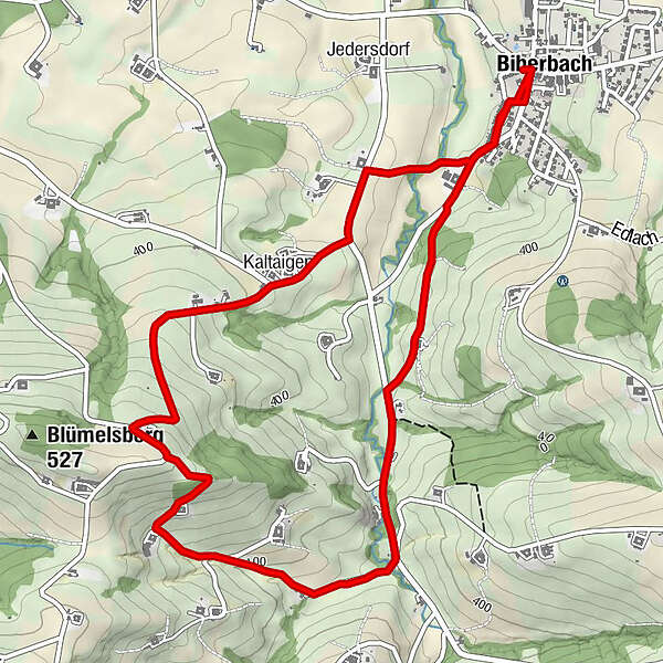
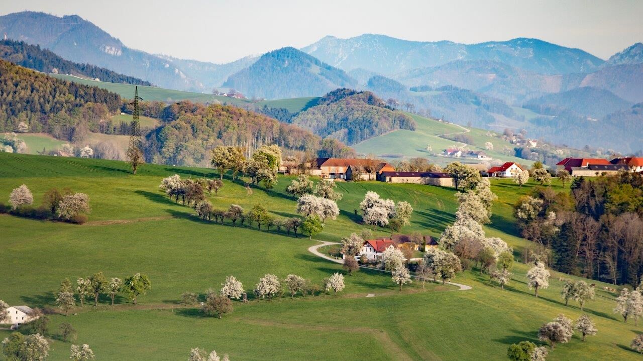
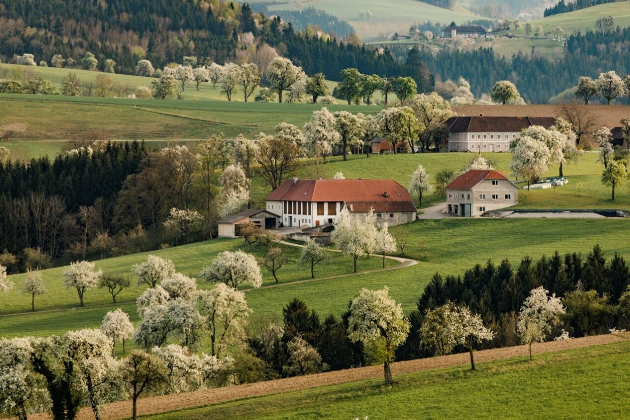
The 7.3 km long trail leads to a viewpoint in Biberbach, from which a beautiful view on the Alps can be seen. This trail is recommended especially in the blossoming season at the end of April.
- Difficulté
-
facile
- Évaluation
-
- Parcours
-
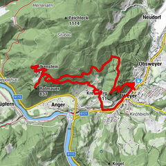
Gasthaus Kappl0,0 kmBiberbach0,0 kmGasthof Fischer0,1 kmKaltaigen4,7 kmGasthof Fischer6,4 kmGasthaus Kappl6,4 kmBiberbach6,4 km
- Meilleure saison
-
janv.févr.marsavrilmaijuinjuil.aoûtsept.oct.nov.déc.
- Hauteur maximale
- 495 m
- Point de mire
-
Biberbach
- Profil en hauteur
-


- Auteur
-
La randonnée Karl-Lammerhuber-Blick-Weg est utilisé par outdooractive.com fourni par.
GPS Downloads


Informations générales
Point de rassemblement
Prometteur
Autres parcours dans les régions
-
Traunviertel
1940
-
Moststraße
754
-
Biberbach
190