© Wienerwald - Andreas Hofer

© Wienerwald Tourismus GmbH / Andreas Hofer
- Brève description
-
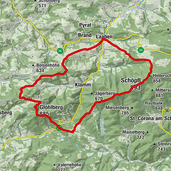
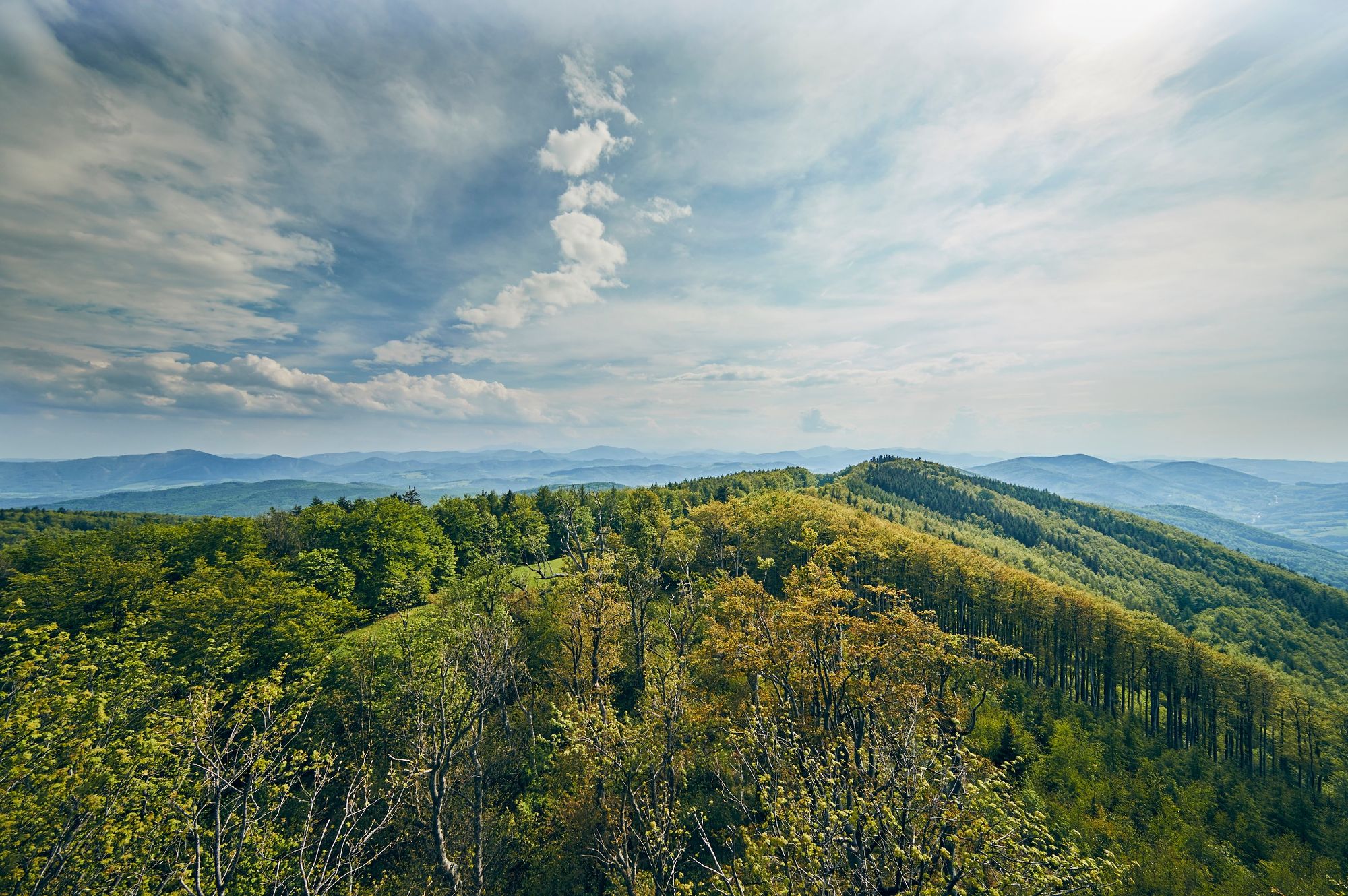
Up to the Schöpfl and Gföhlberg - Experience the two highest elevations of the Vienna Woods in a hiking tour!
- Difficulté
-
difficile
- Évaluation
-
- Parcours
-
LaabenLand Gasthof zur Linde0,0 kmHofern1,0 kmHinterschöpfl (858 m)4,3 kmSchöpfl-Schutzhaus4,5 kmSchöpfl (893 m)4,6 kmWittenbachberg (846 m)6,8 kmKlammhöhe11,5 kmGföhlberghütte13,2 kmGföhlberg (885 m)13,9 kmStollberg17,5 kmKapelle20,8 kmEck21,5 kmGasthof Laabenbachstube23,2 kmLaaben23,4 kmLand Gasthof zur Linde23,4 km
- Meilleure saison
-
janv.févr.marsavrilmaijuinjuil.aoûtsept.oct.nov.déc.
- Hauteur maximale
- 888 m
- Point de mire
-
Laaben
- Profil en hauteur
-

- Auteur
-
La randonnée Hike up the Schöpfl and the Gföhlberg est utilisé par outdooractive.com fourni par.
GPS Downloads


Informations générales
Point de rassemblement
Culturel/Historiquement
Prometteur
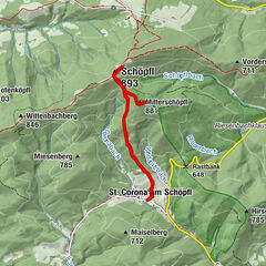
Autres parcours dans les régions
-
Wienerwald
4199
-
Elsbeere-Wienerwald
1216
-
Brand-Laaben
303