

© Radler-Rast - Mag. Brigitte Pamperl

© Radler-Rast - Mag. Brigitte Pamperl

© Radler-Rast - Mag. Brigitte Pamperl

© Radler-Rast - Mag. Brigitte Pamperl

© Radler-Rast - Mag. Brigitte Pamperl

© Radler-Rast - Mag. Brigitte Pamperl

© Radler-Rast - Mag. Brigitte Pamperl

© Radler-Rast - Mag. Brigitte Pamperl

© Radler-Rast - Mag. Brigitte Pamperl

© Radler-Rast - Mag. Brigitte Pamperl

- Brève description
-
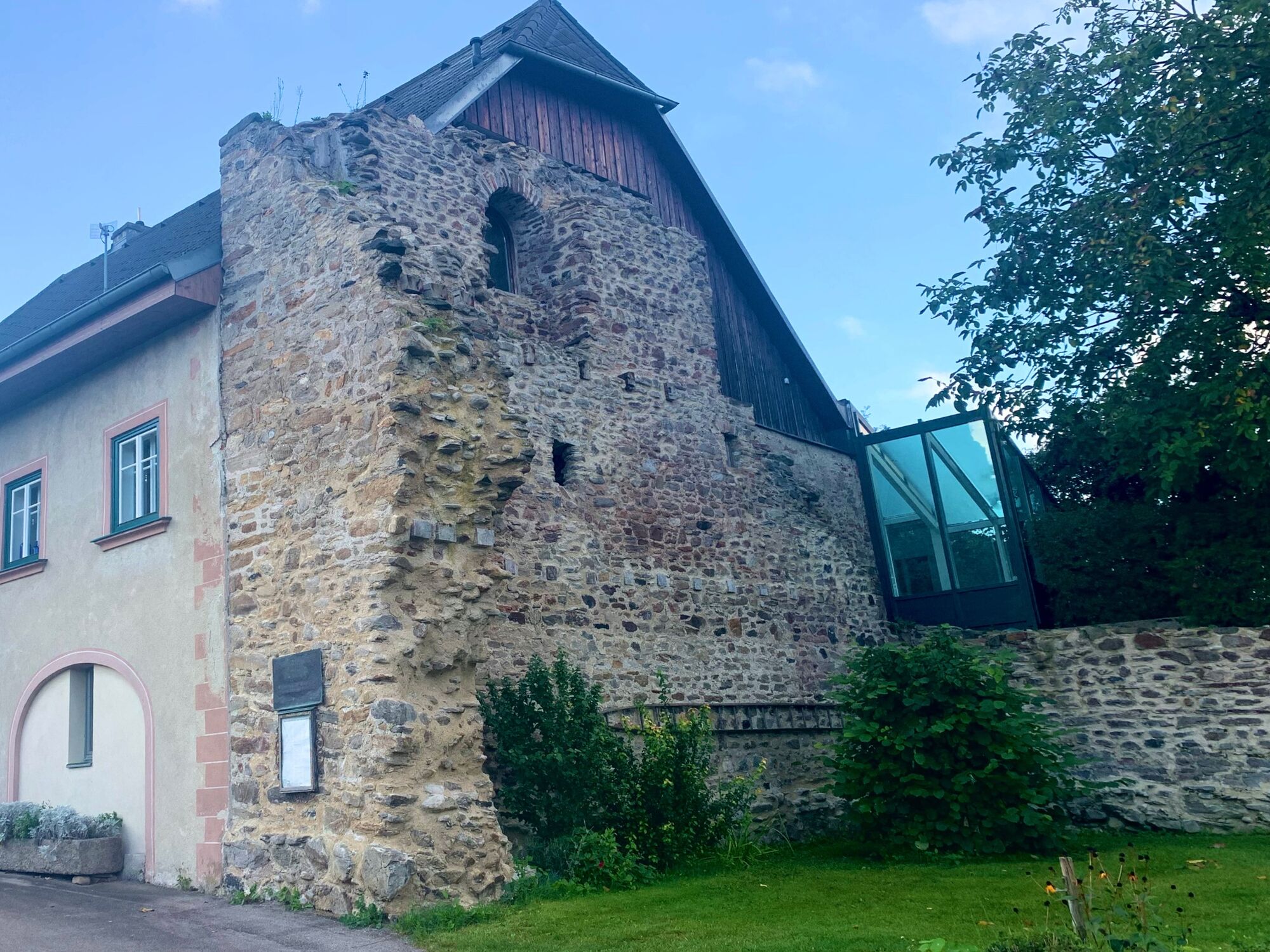
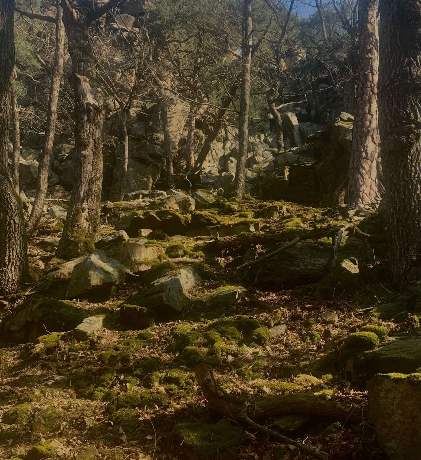
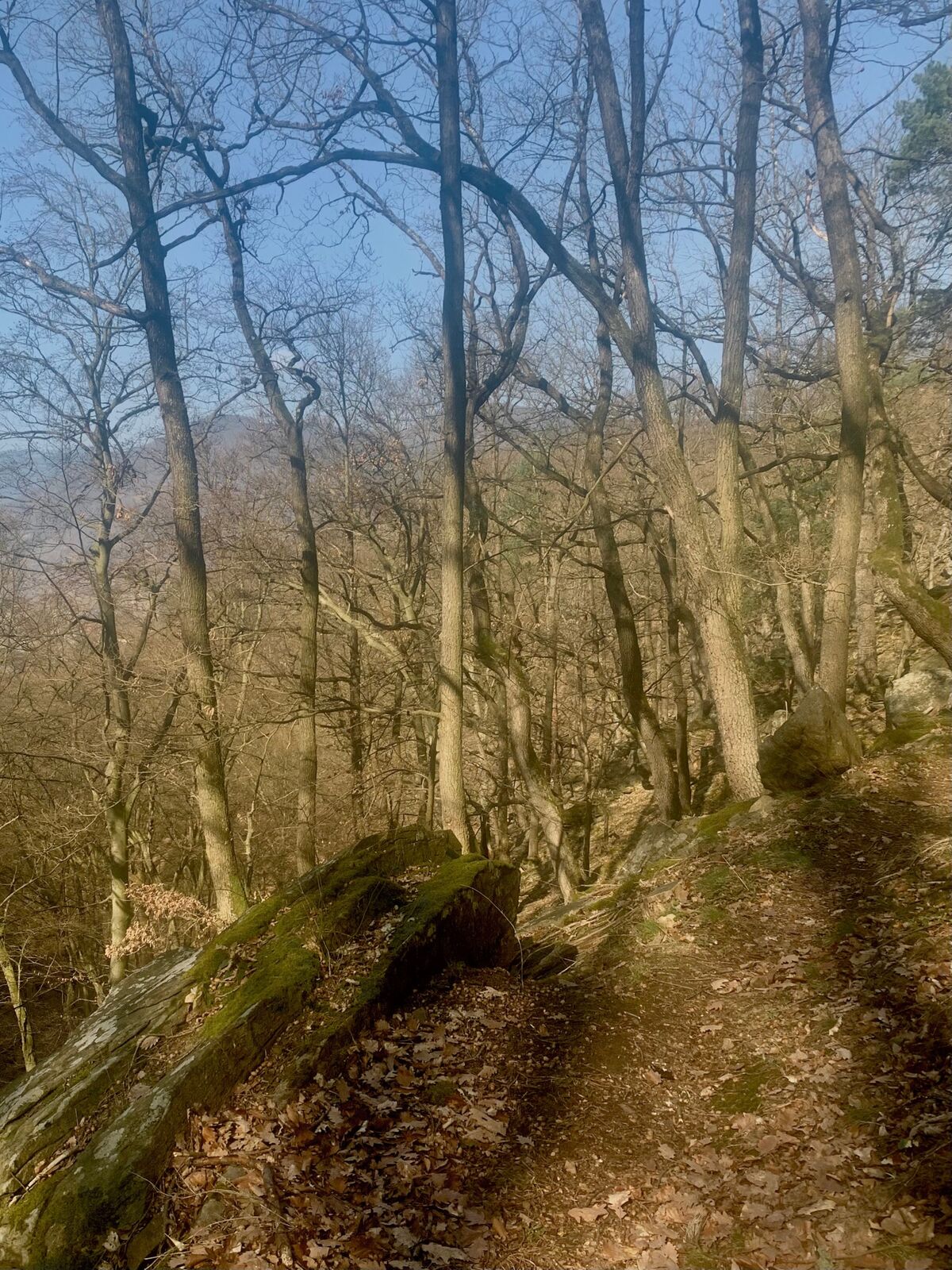
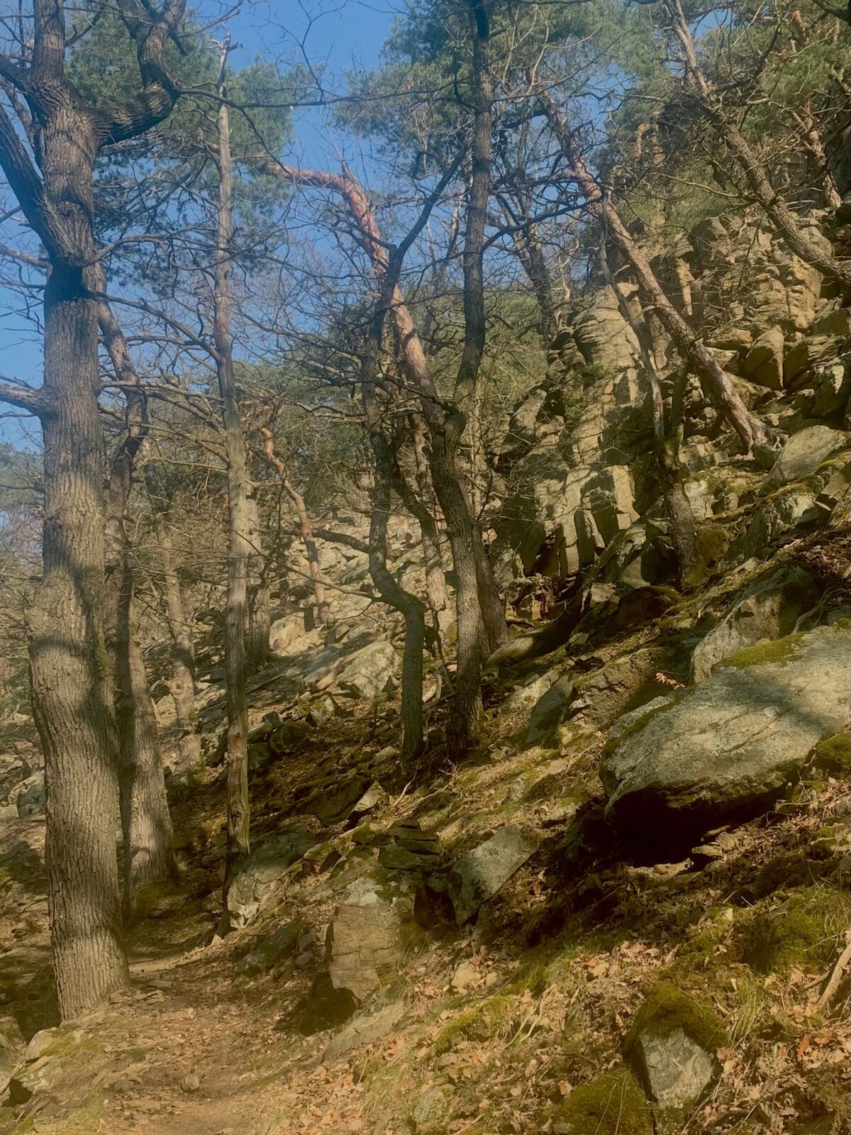
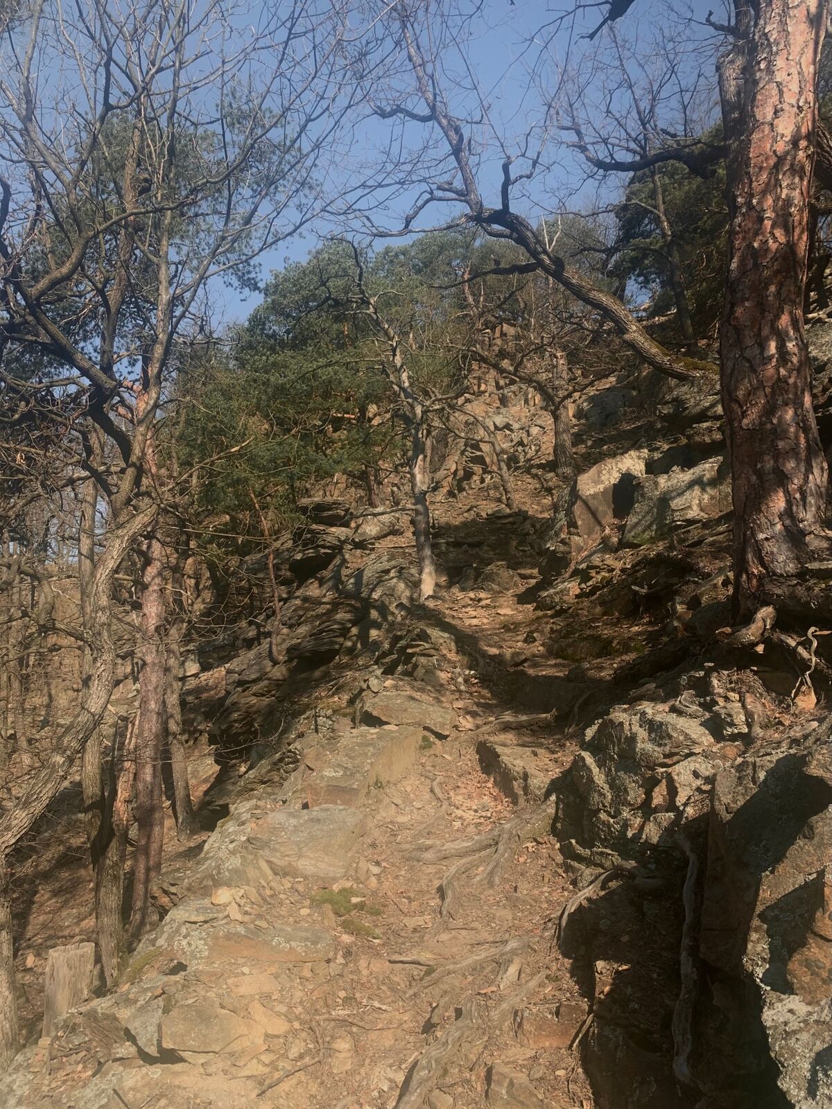
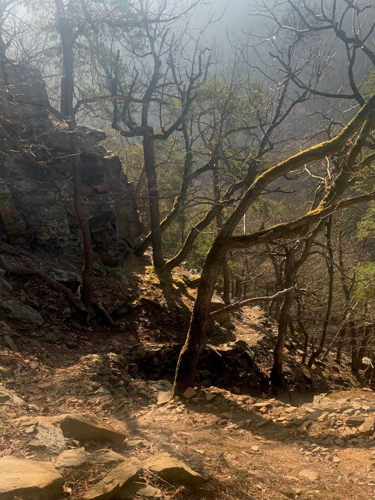
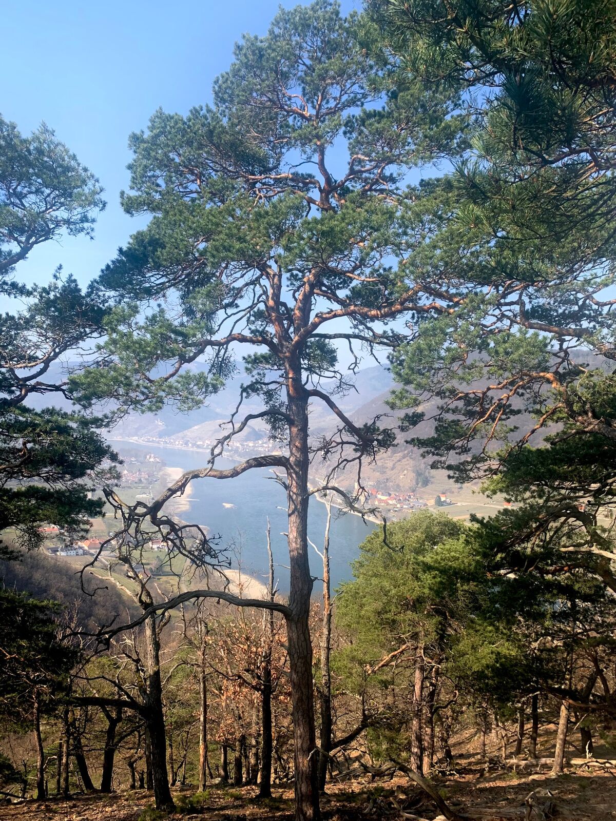
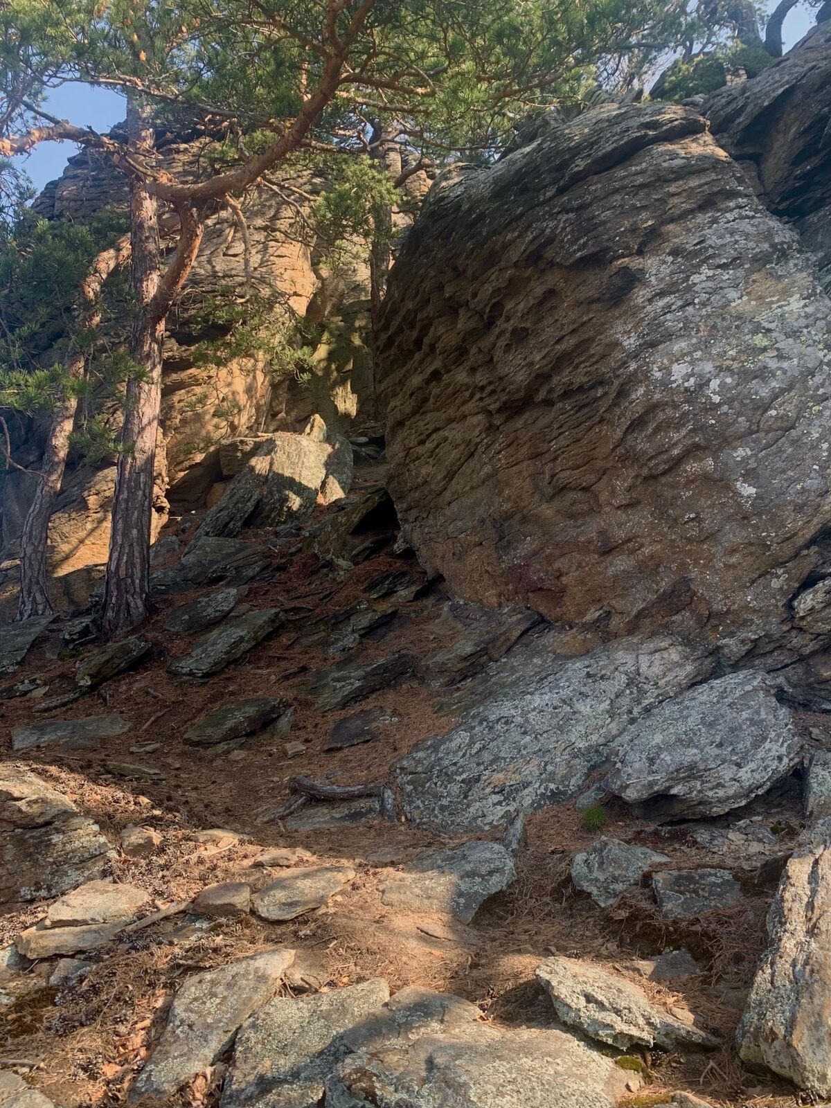
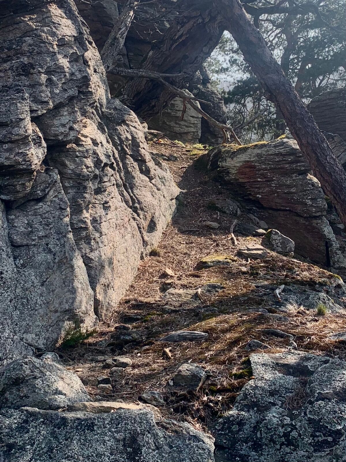
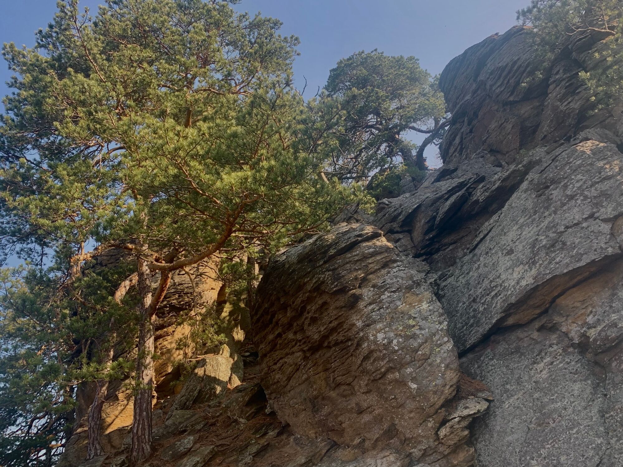
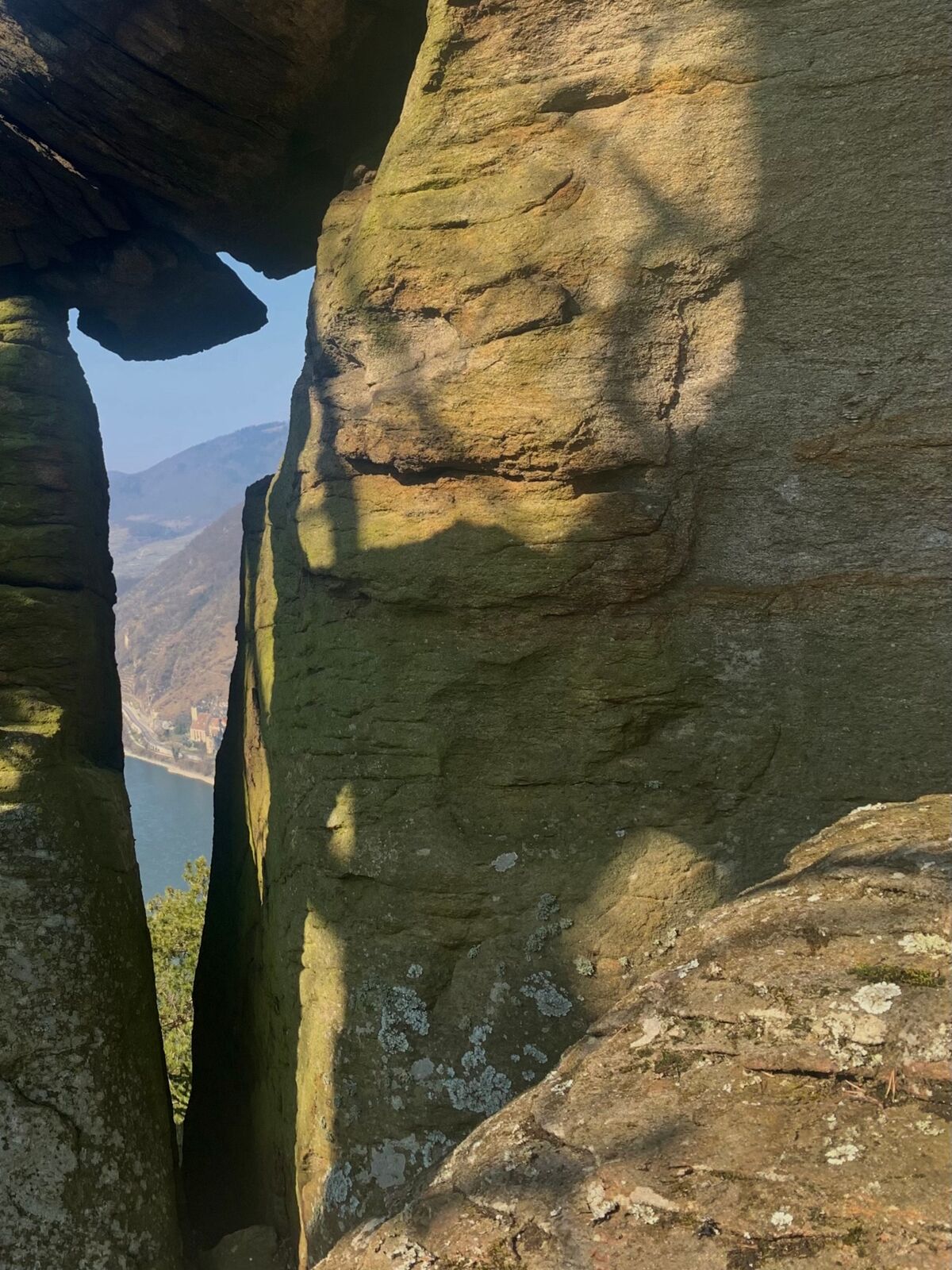
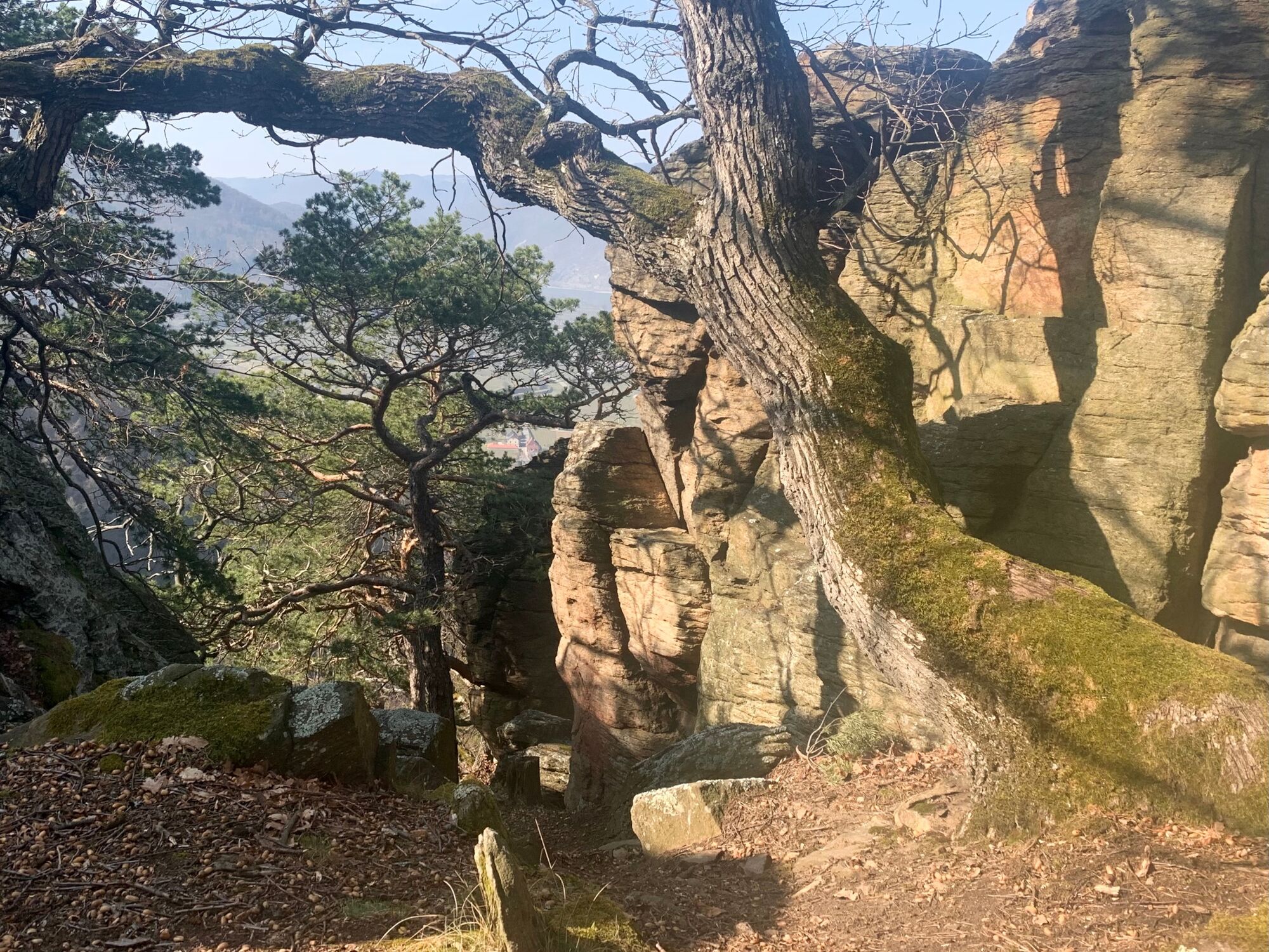
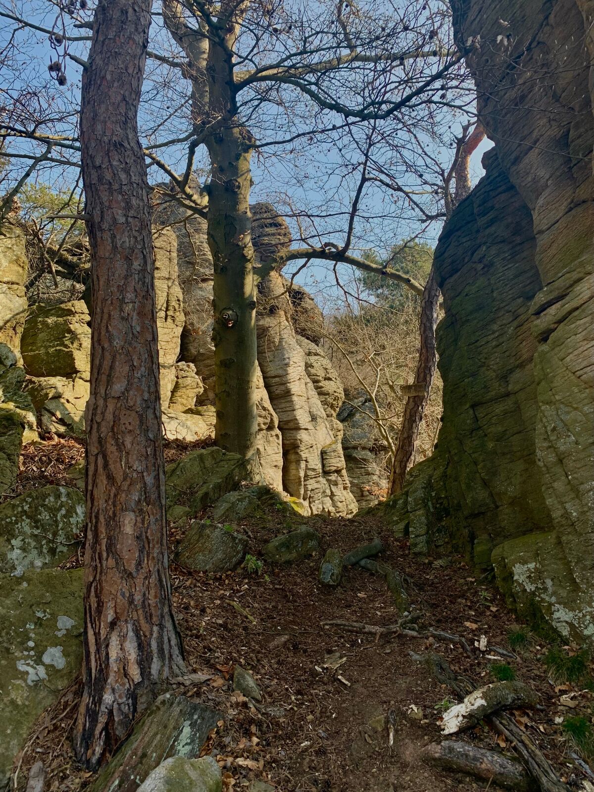
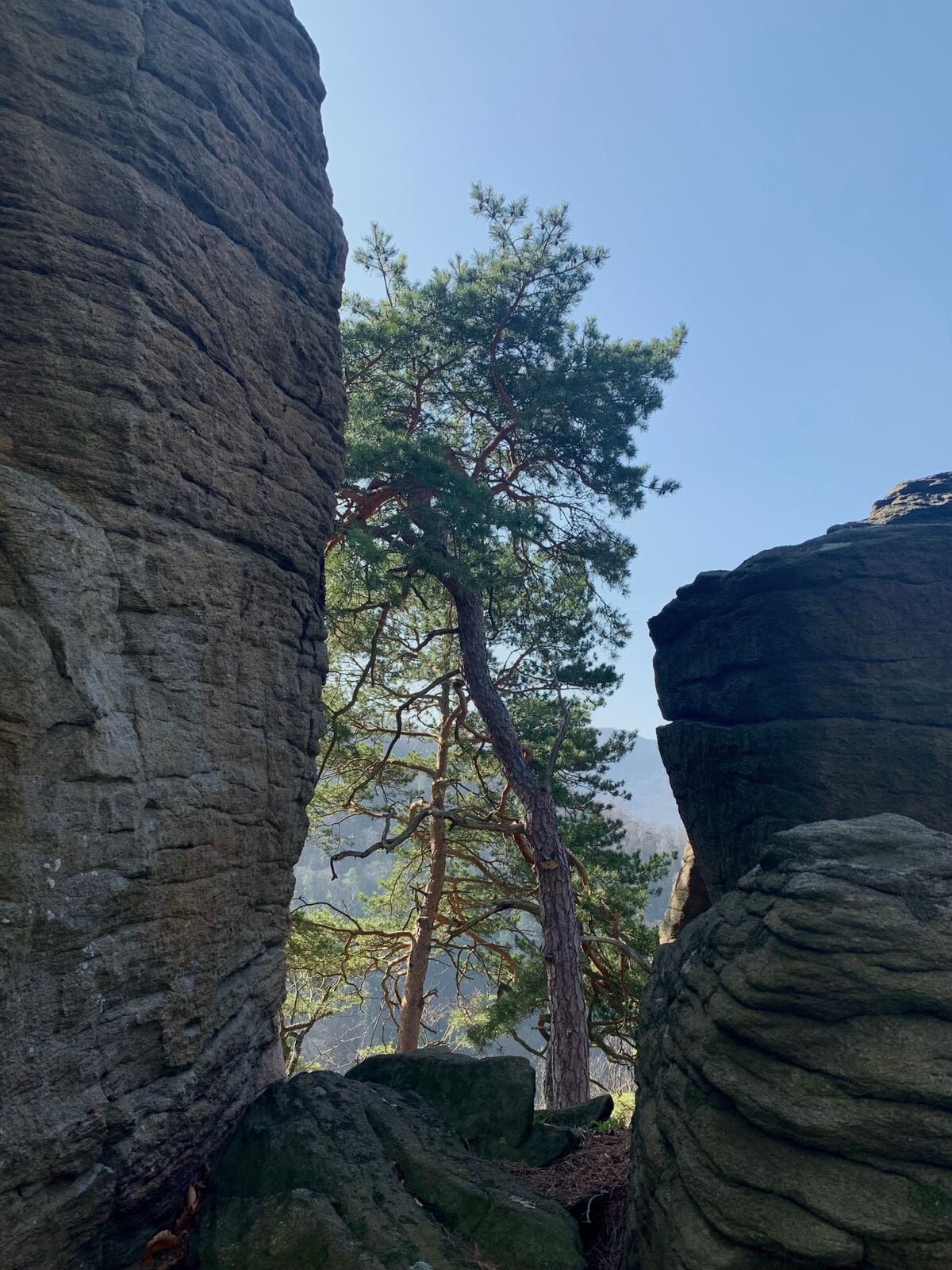
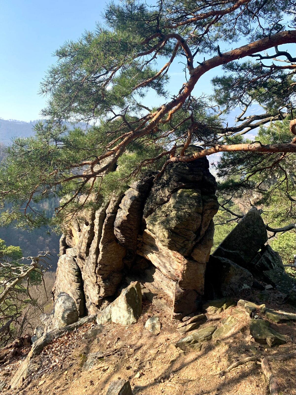
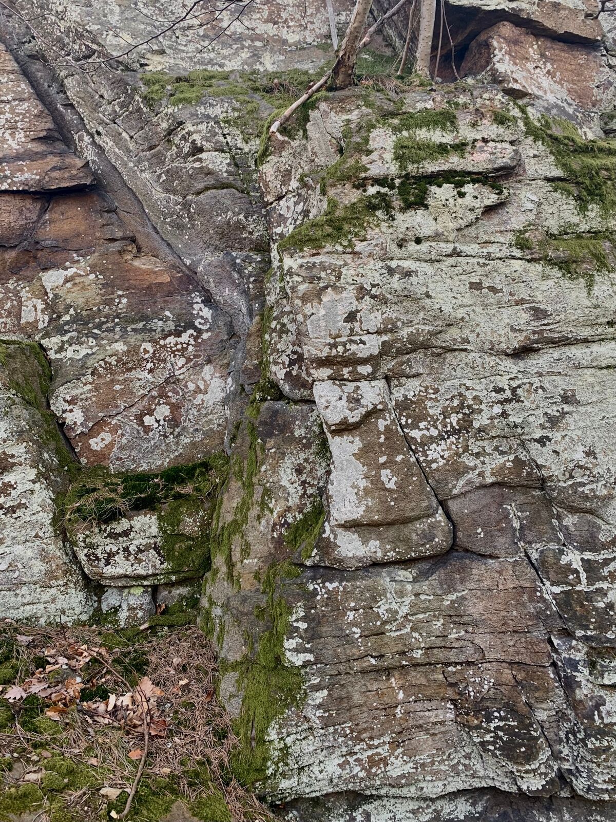
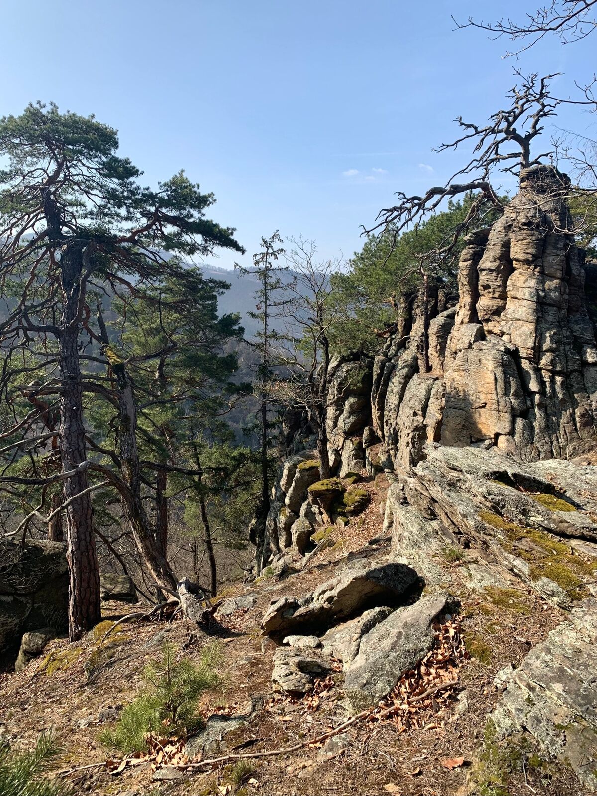
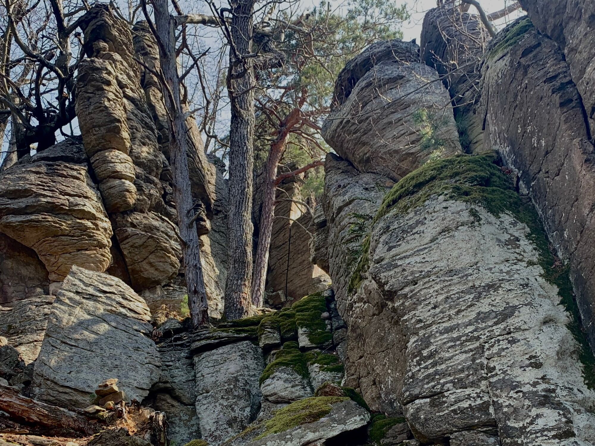
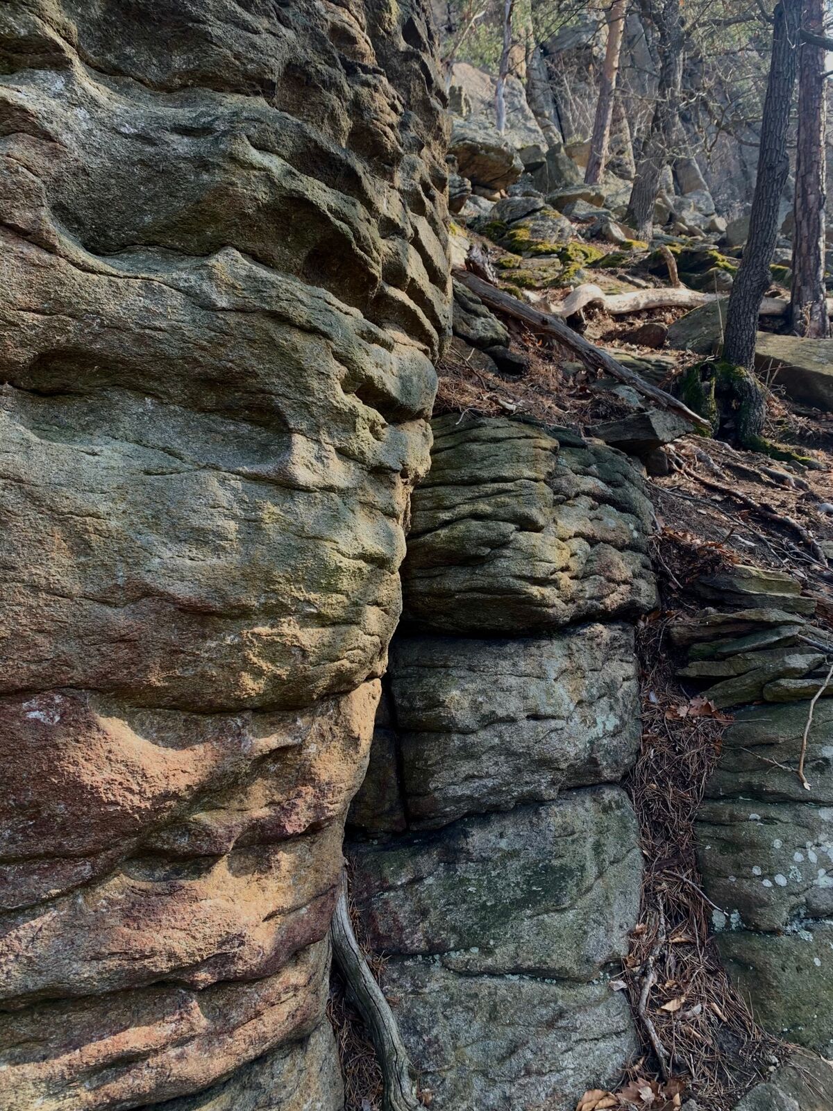
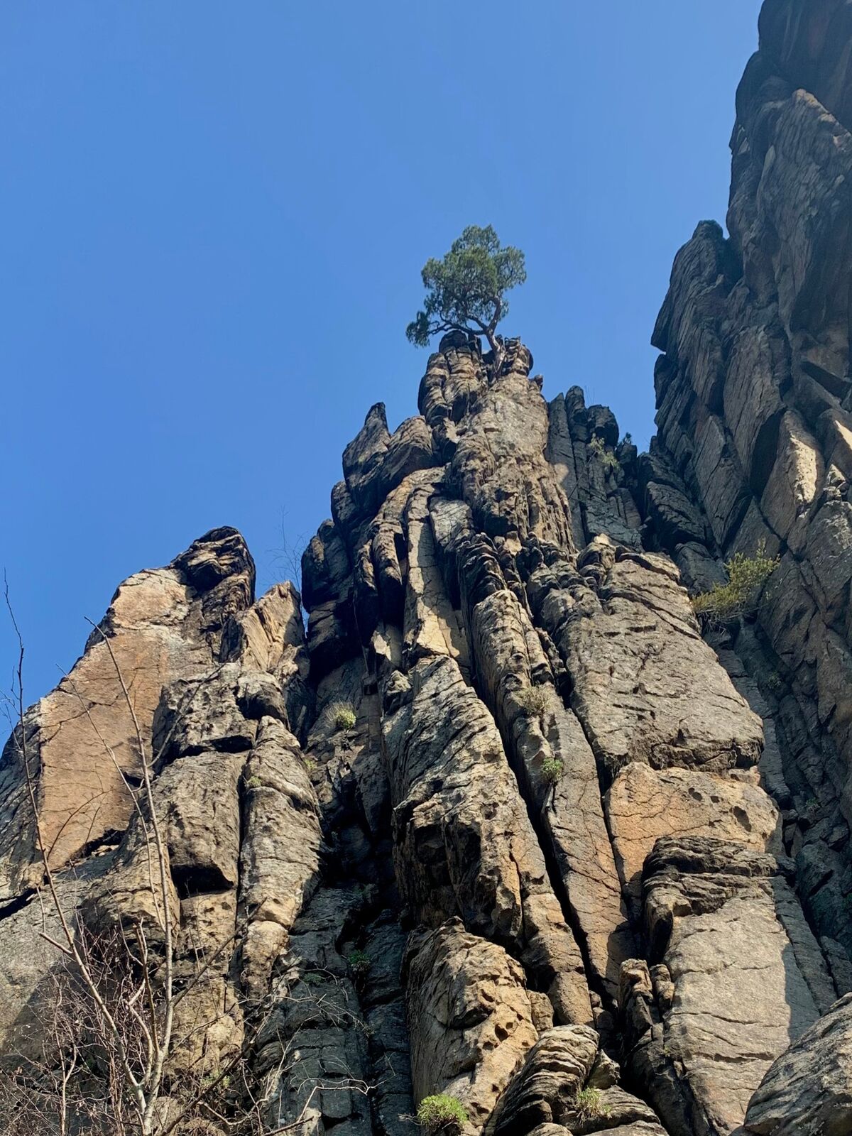
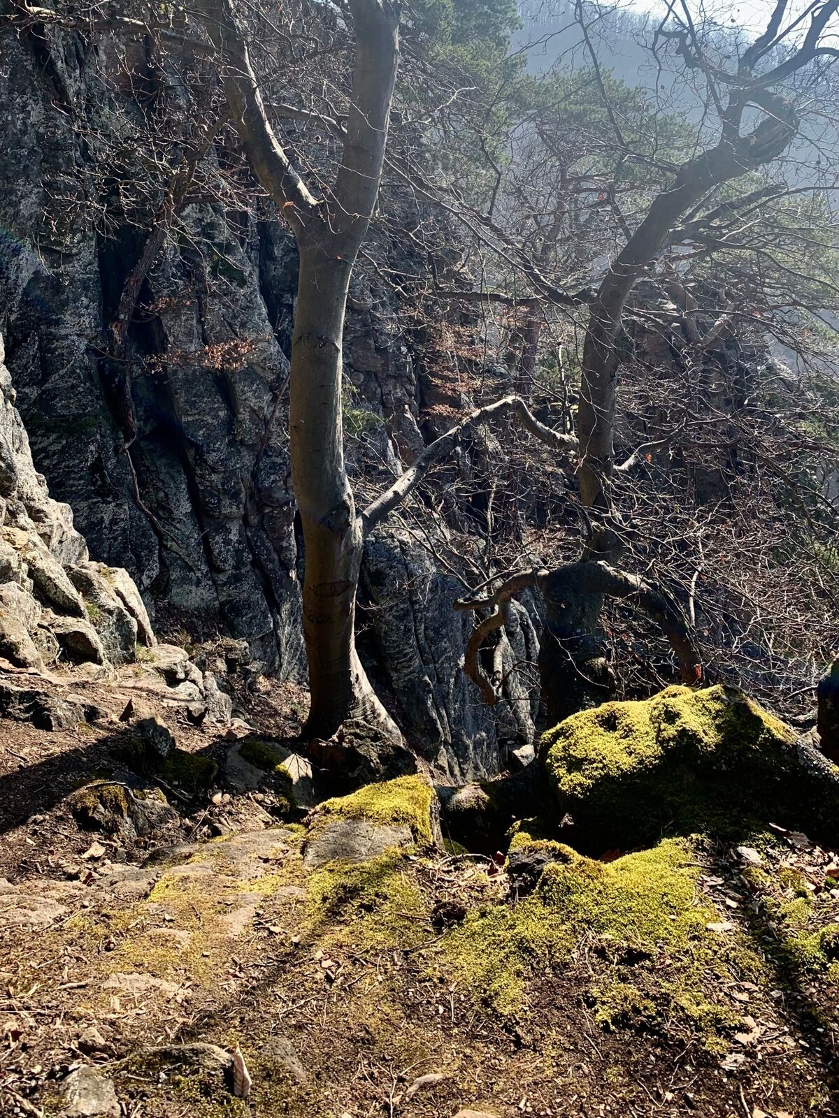
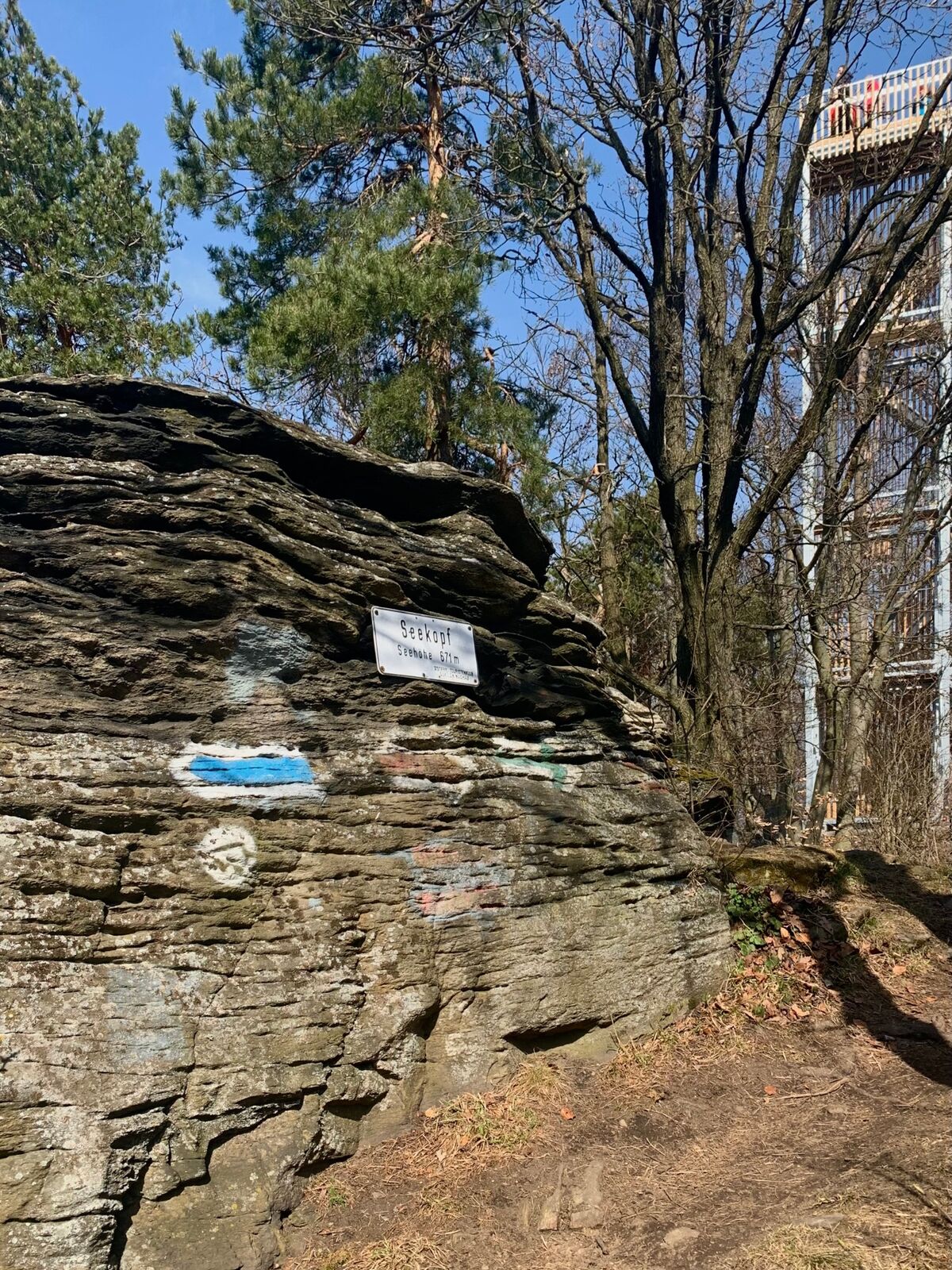
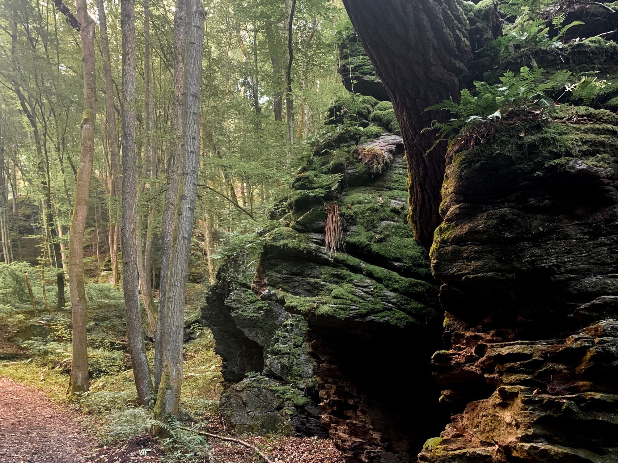
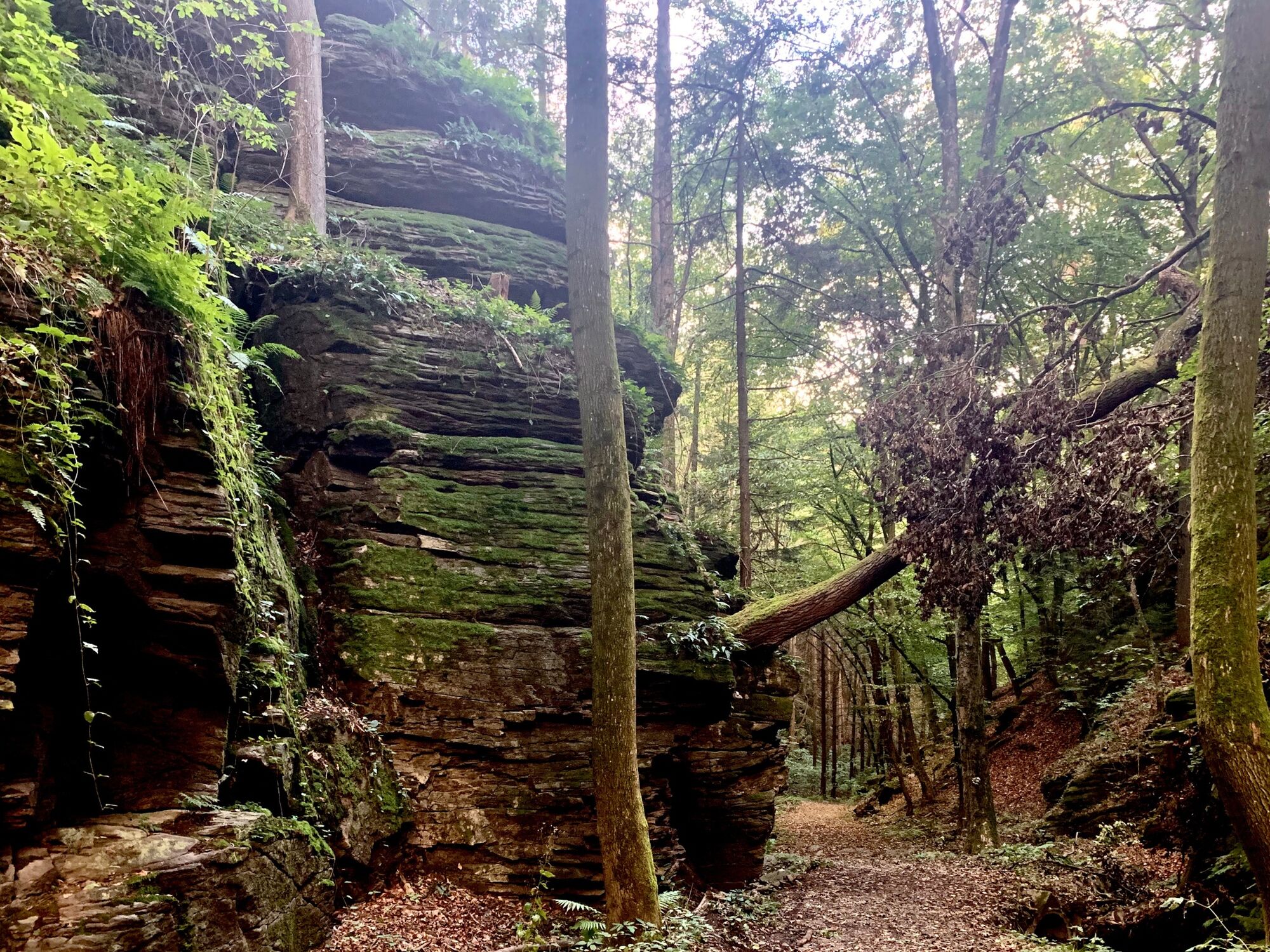
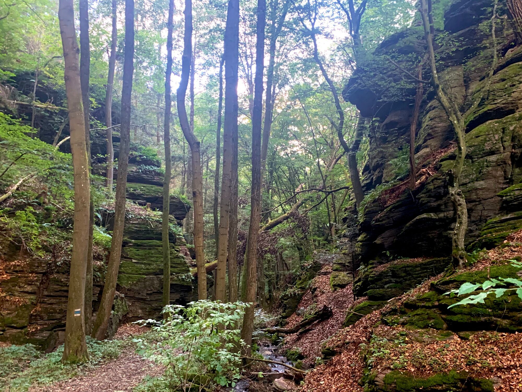
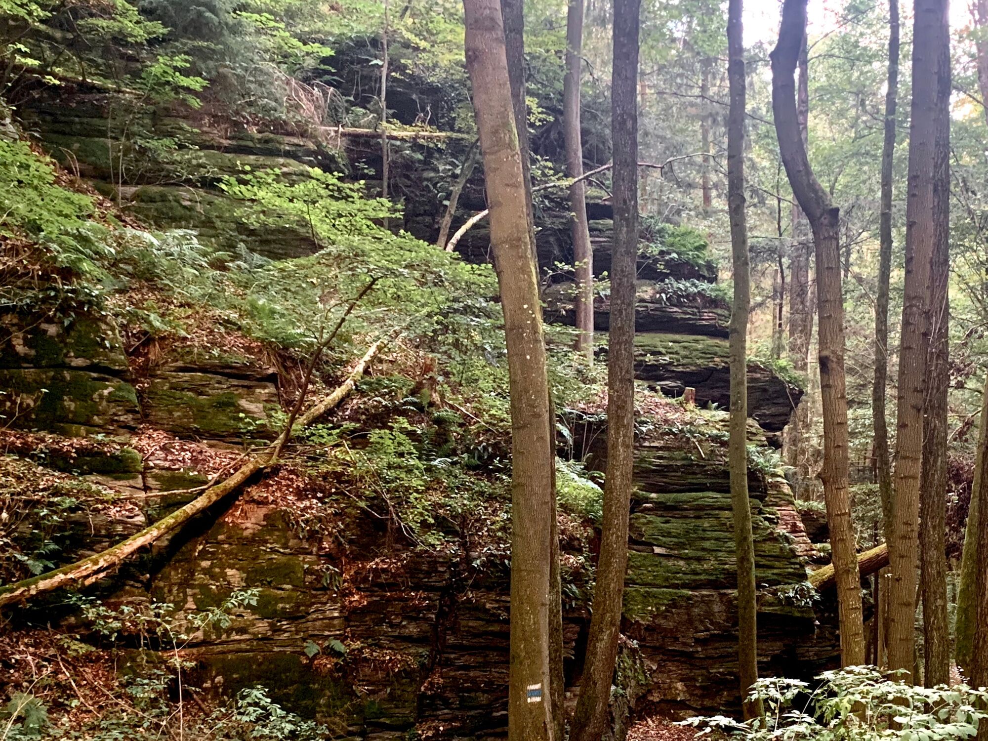
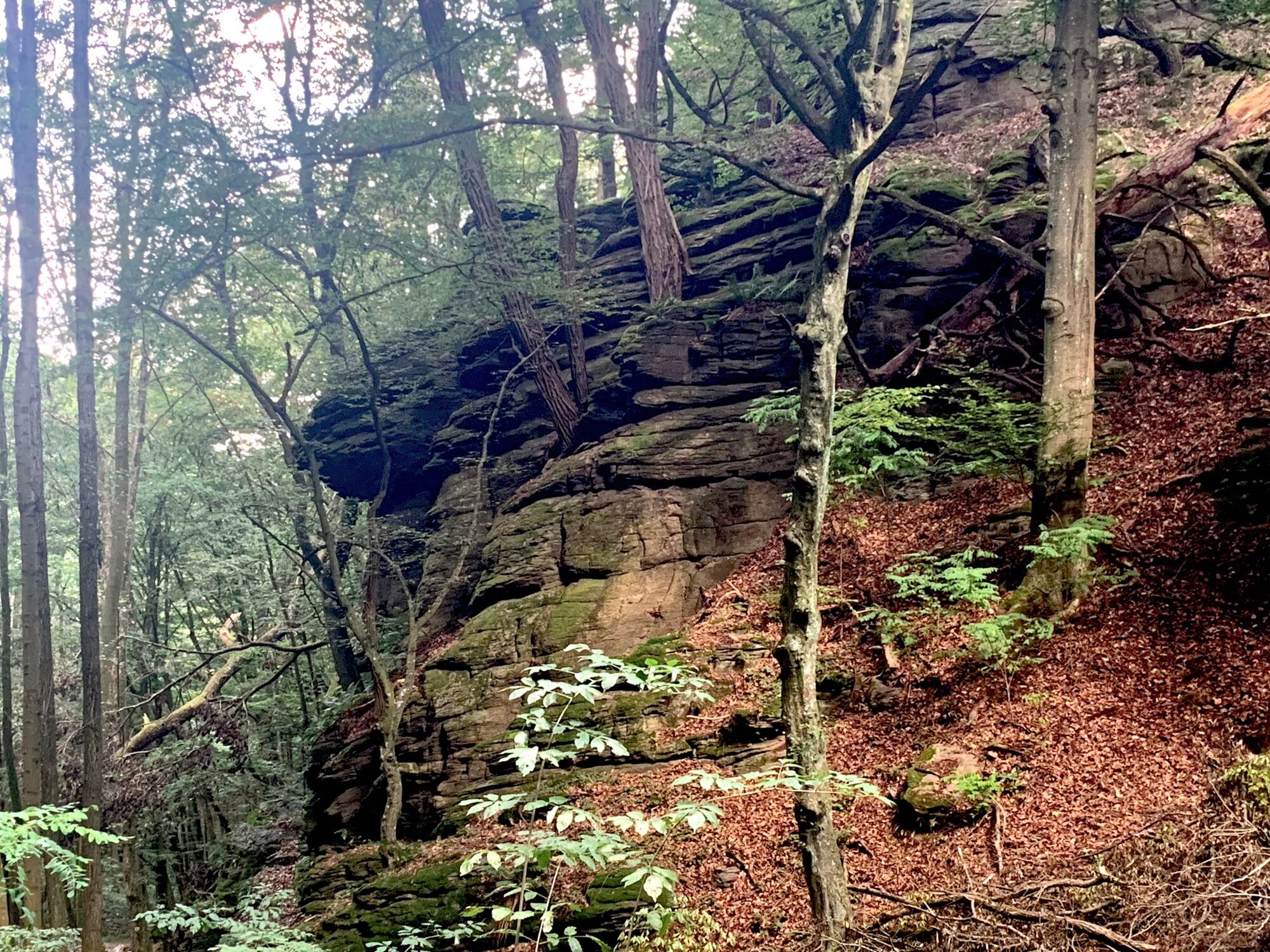
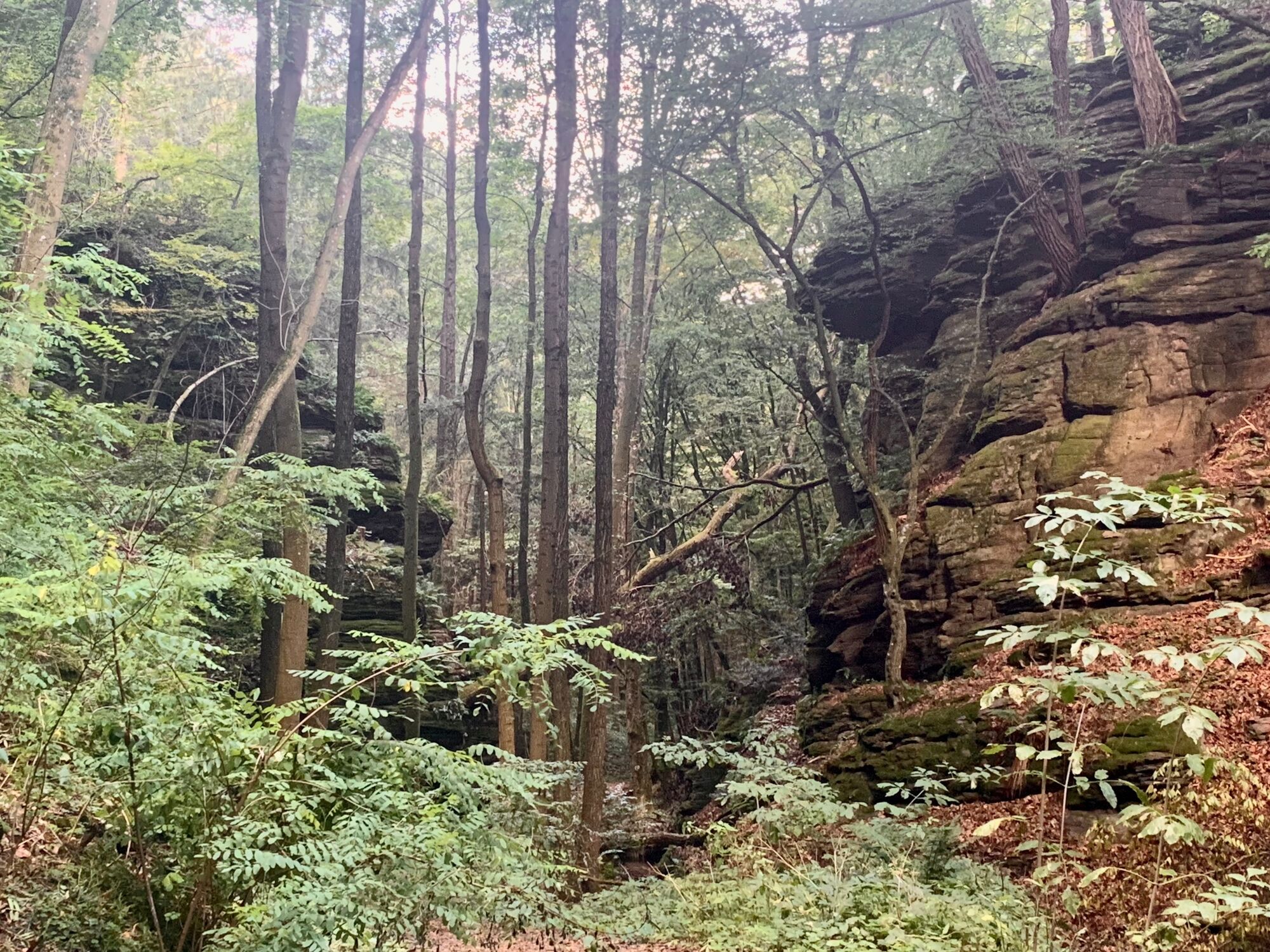
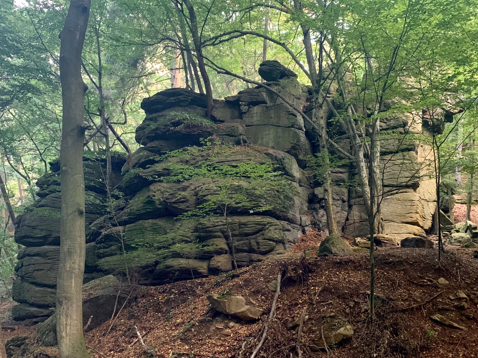
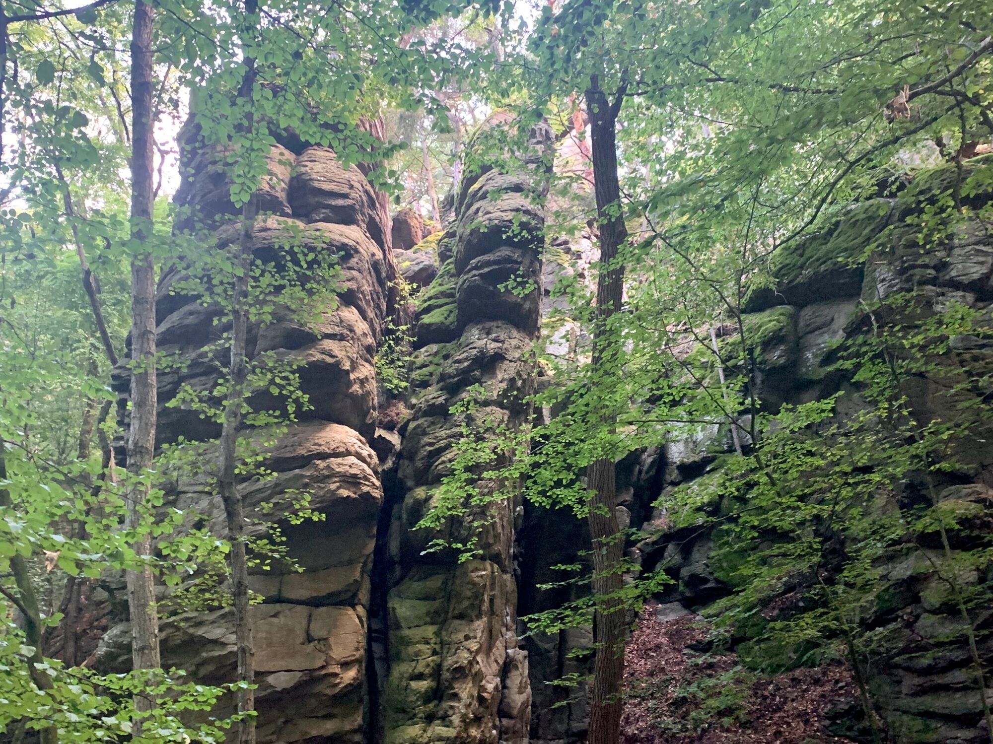
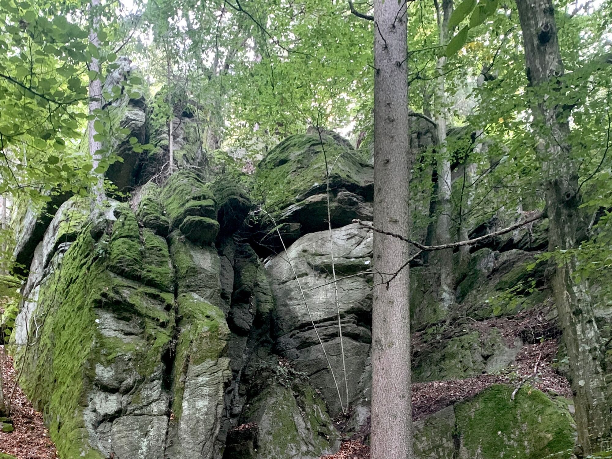
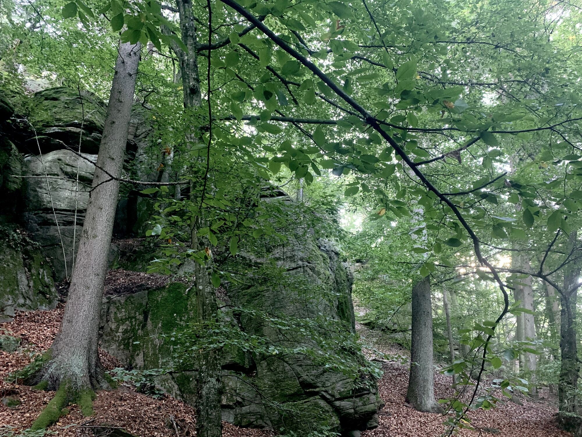
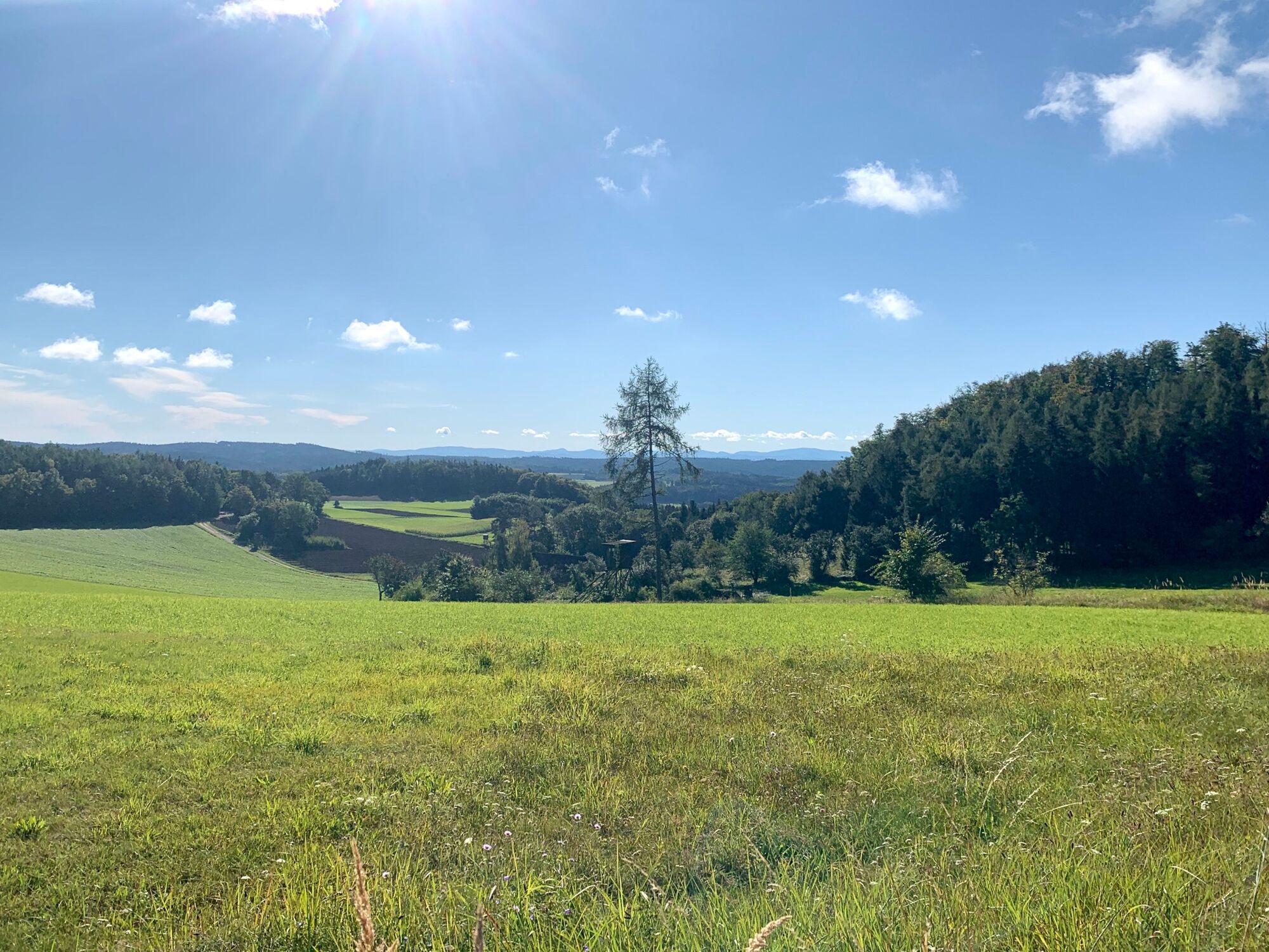
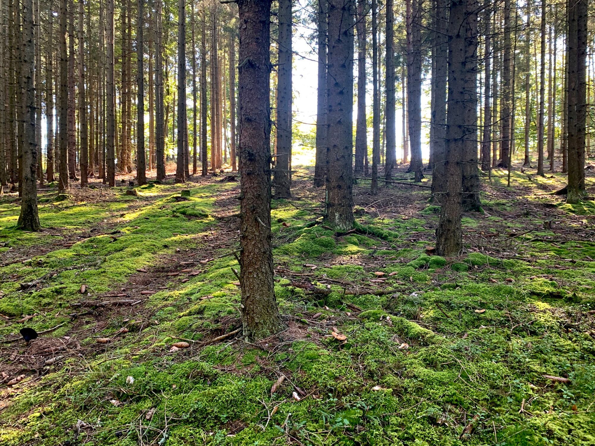
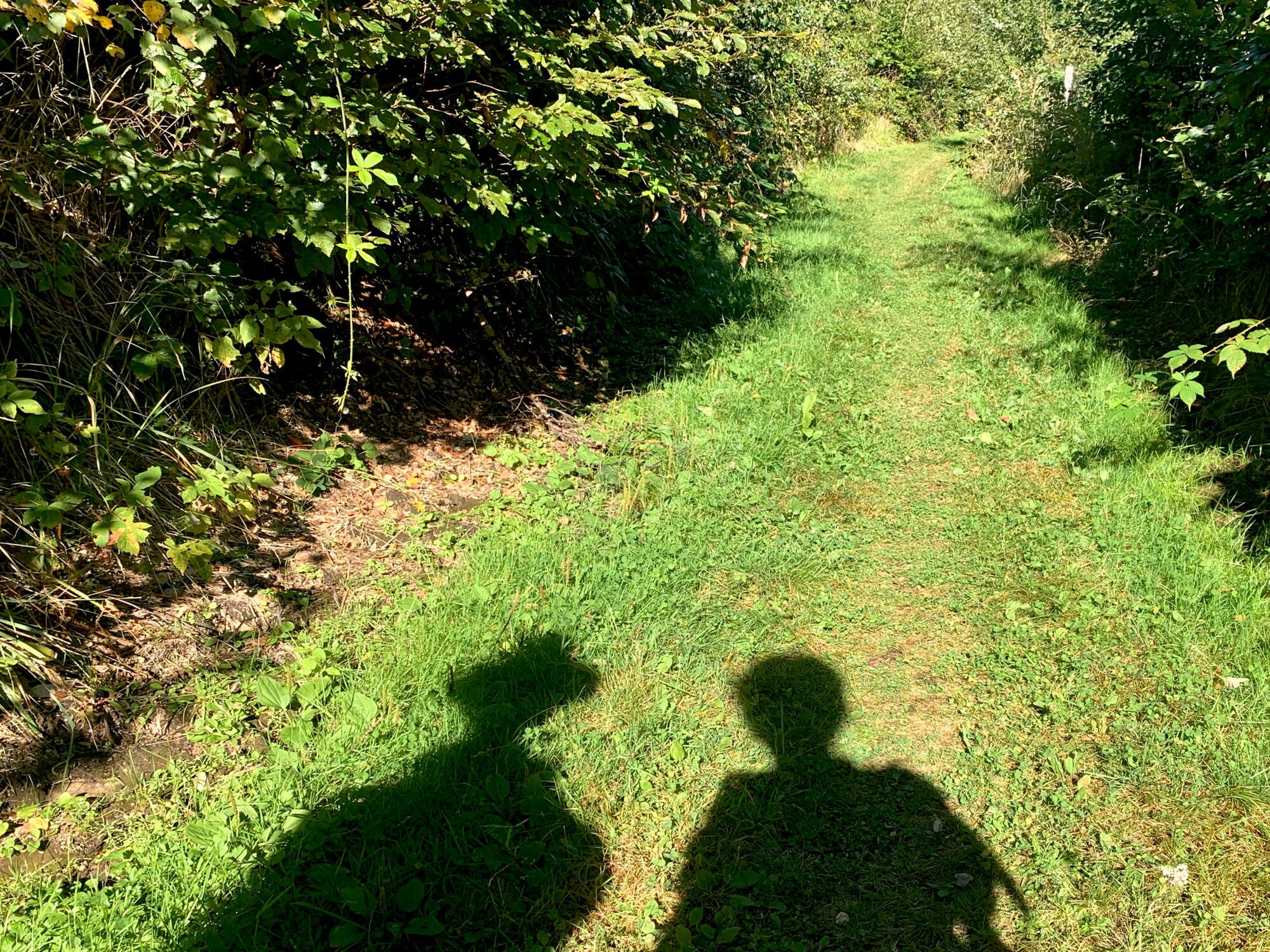
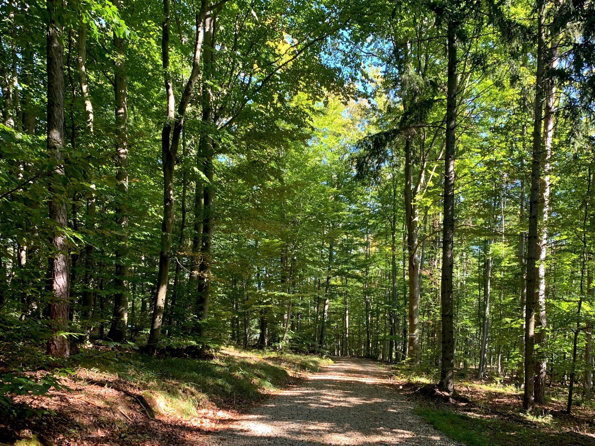
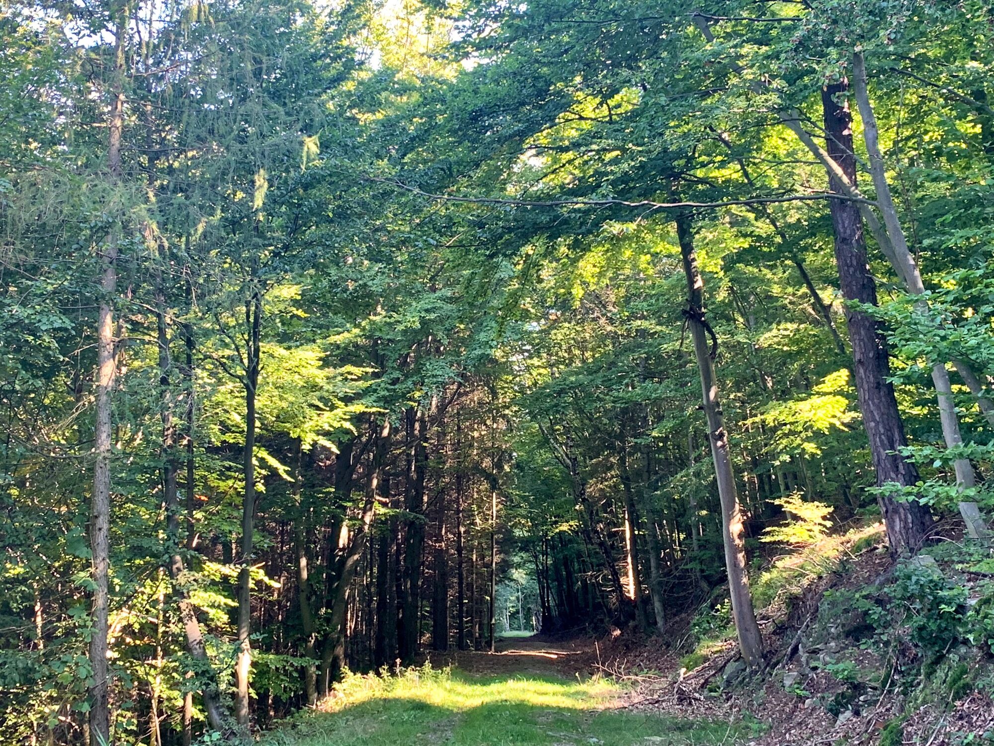
From Bacharnsdorf on a rocky ridge with a beautiful view of the Danube to the Seekopf. Back through the copper valley covered with bizarre rocks.
- Difficulté
-
difficile
- Évaluation
-
- Parcours
-
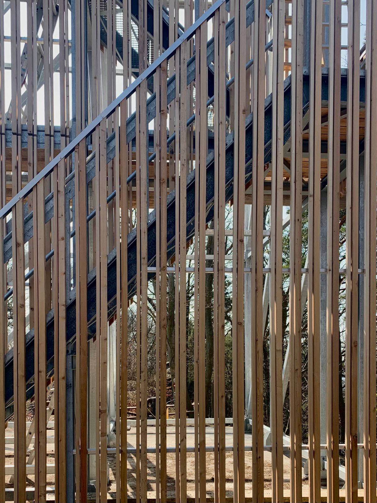
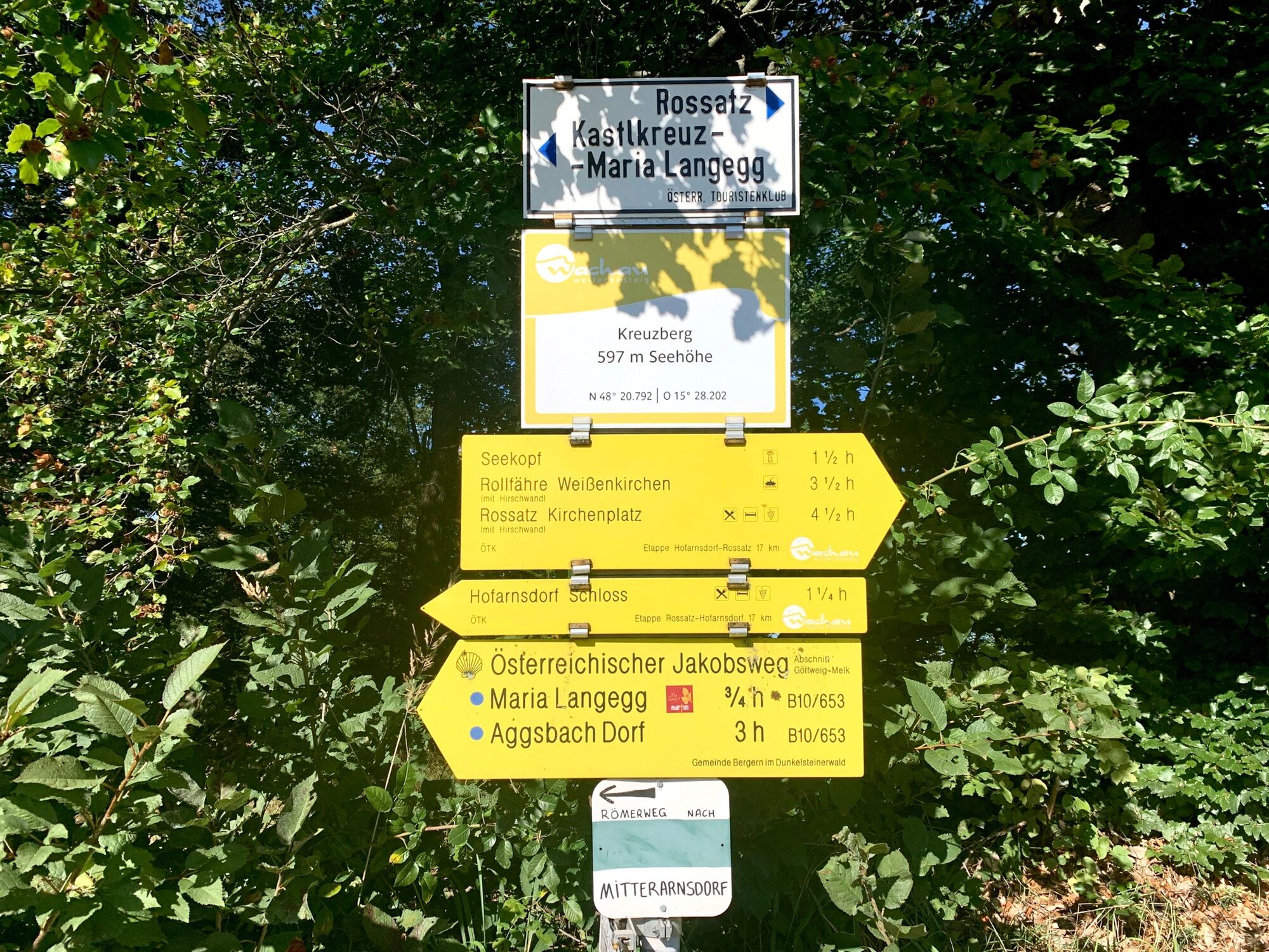
BacharnsdorfArnsdorfer Halbhöhle0,5 kmSonnstein (557 m)2,4 kmSeekopf (671 m)3,1 kmSeekopfwarte3,1 kmHerrnplatzl4,9 kmBacharnsdorf11,7 km
- Meilleure saison
-
janv.févr.marsavrilmaijuinjuil.aoûtsept.oct.nov.déc.
- Hauteur maximale
- 668 m
- Point de mire
-
Bacharnsdorf
- Profil en hauteur
-


-
-
AuteurLa randonnée Seekopf via Stoa Steig Karl est utilisé par outdooractive.com fourni par.
GPS Downloads


Informations générales
Secret
Prometteur
Autres parcours dans les régions


