Picasa

Picasa

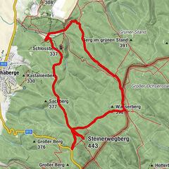
Picasa
Picasa
Dates des itinéraires
8,24km
215
- 337m
244hm
222hm
02:39h
- Brève description
-
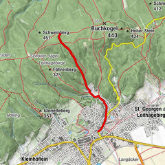
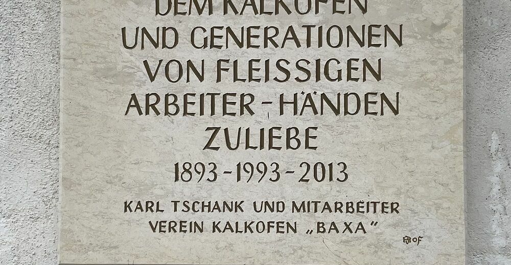
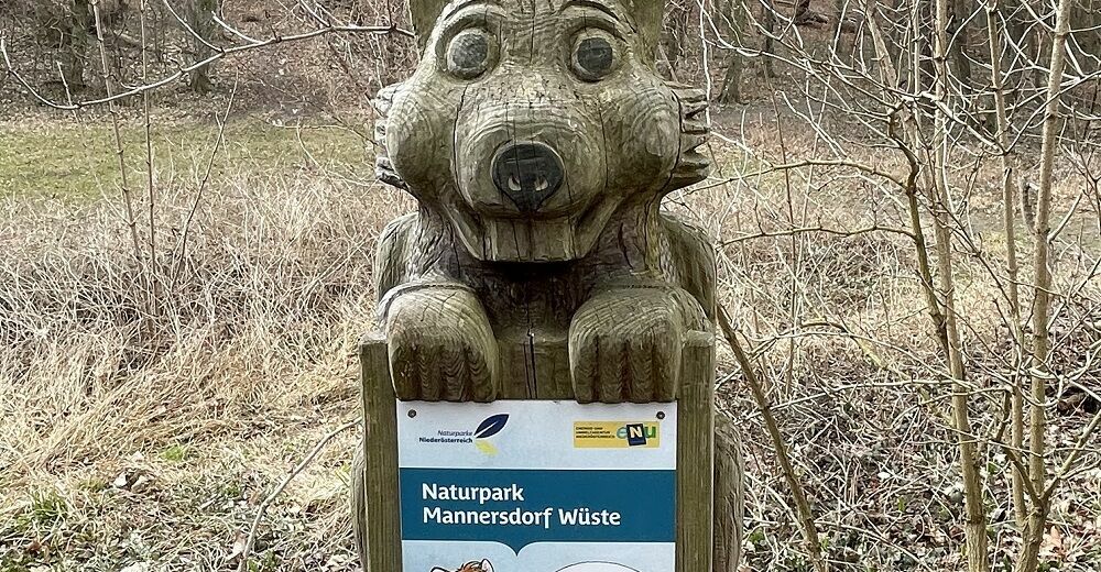
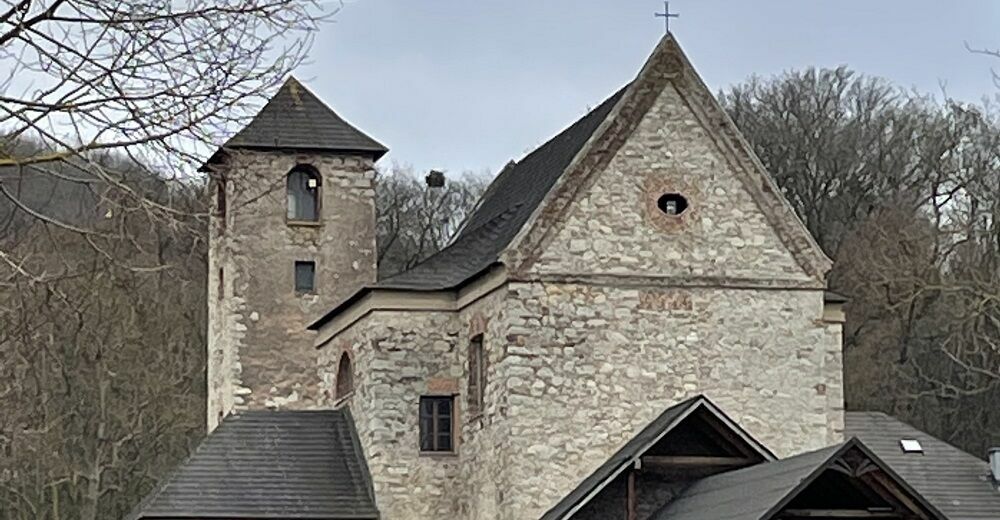
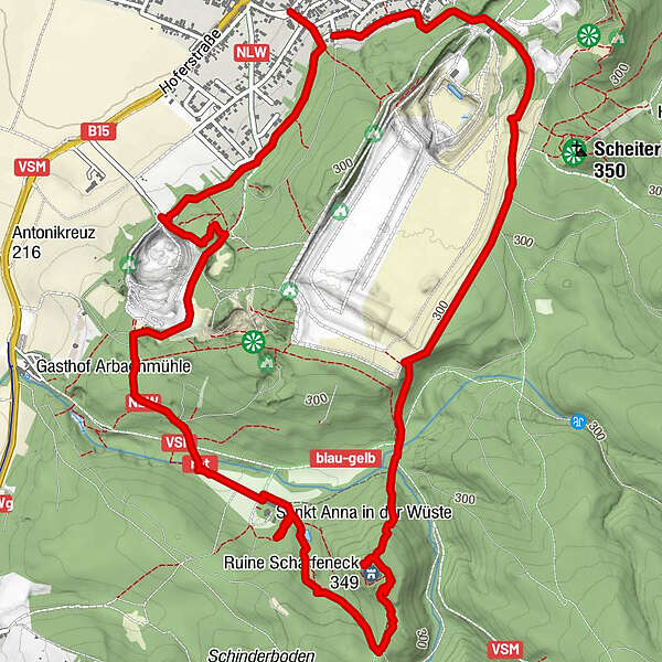
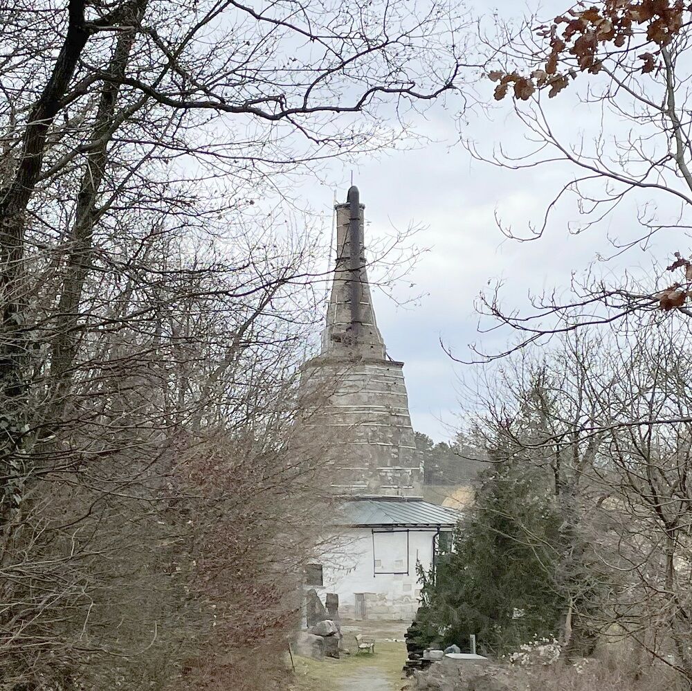
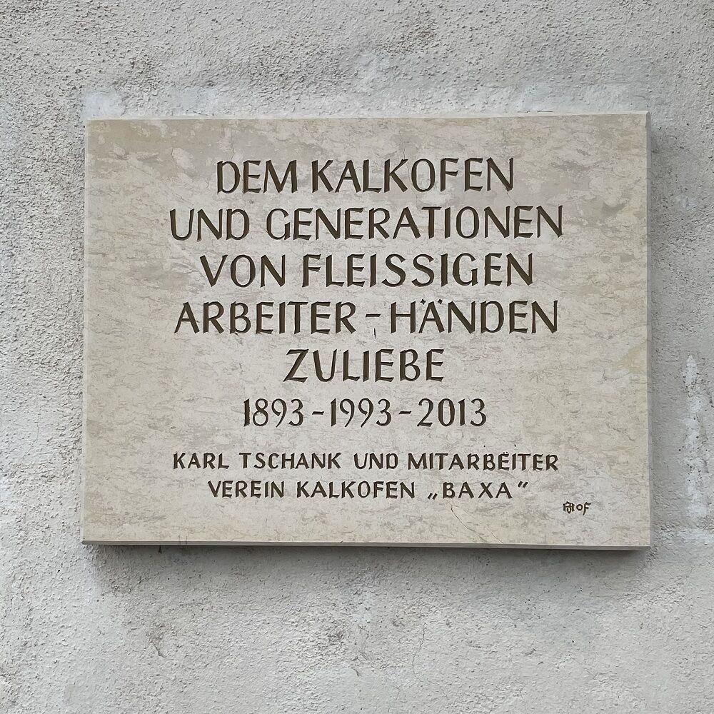
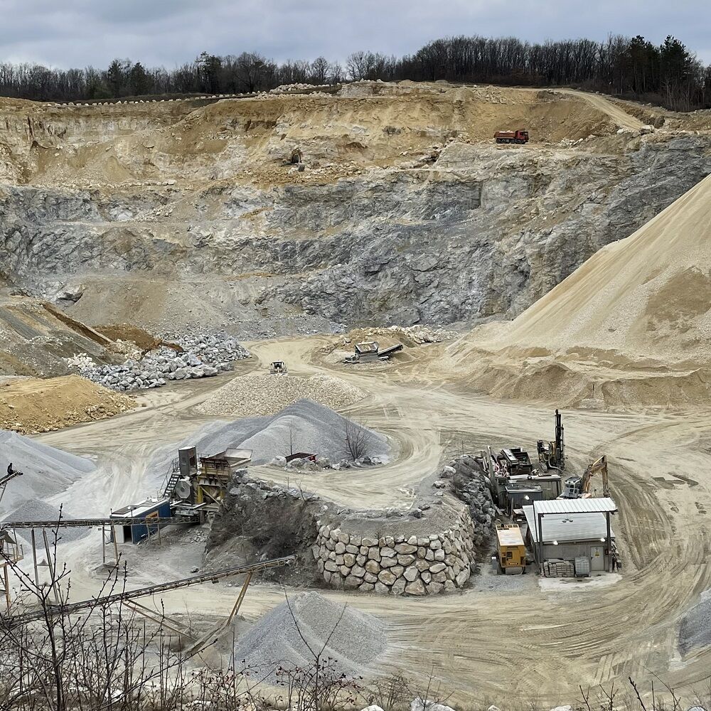
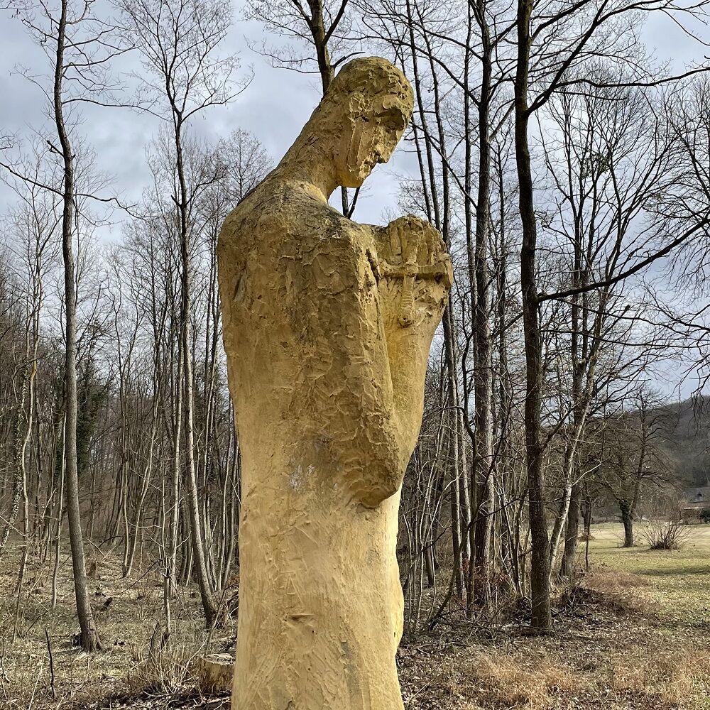
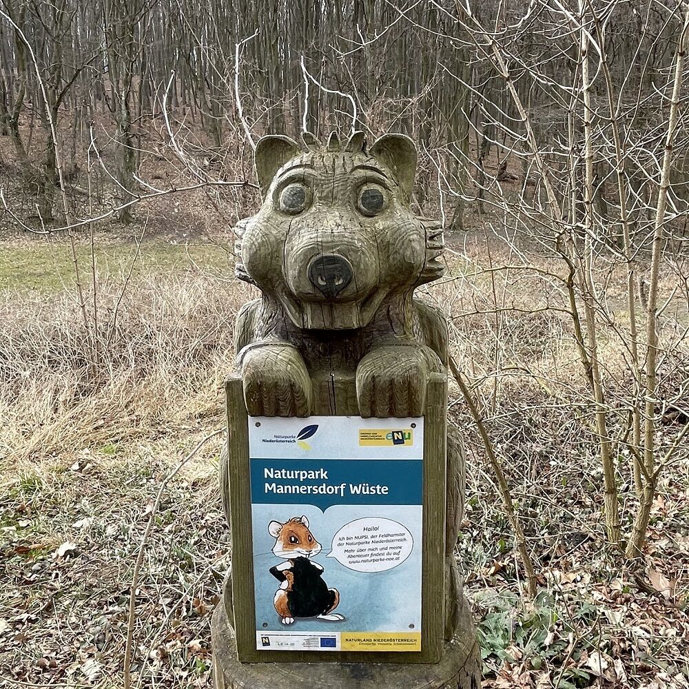
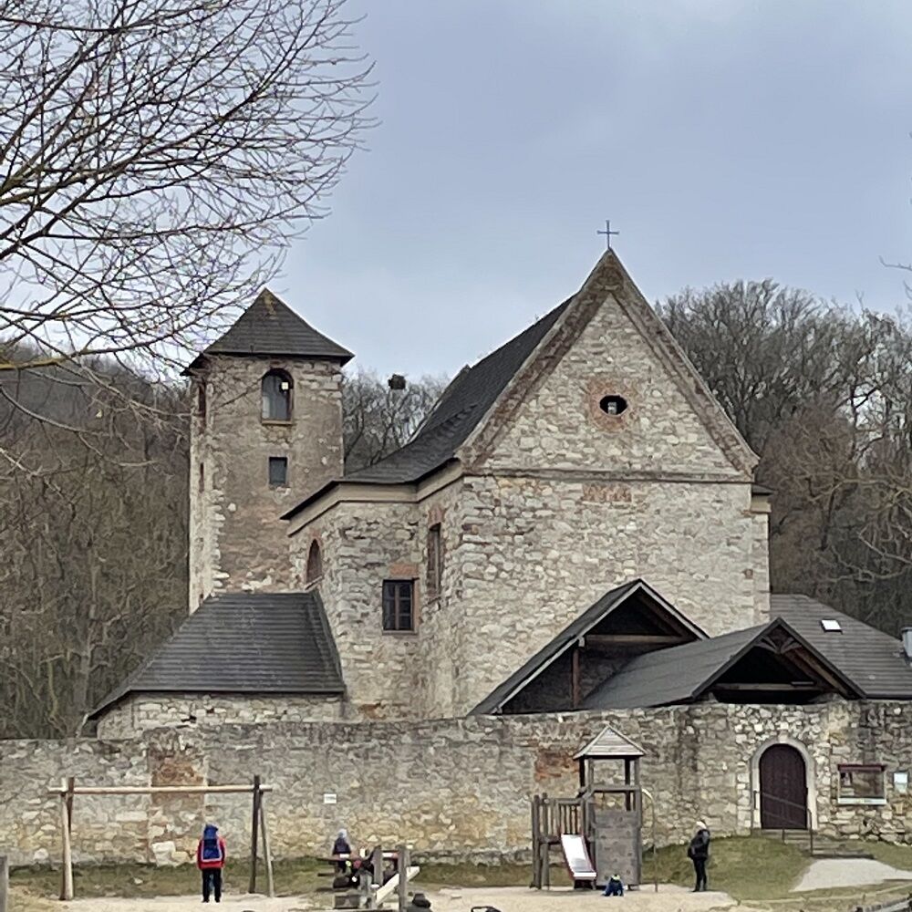
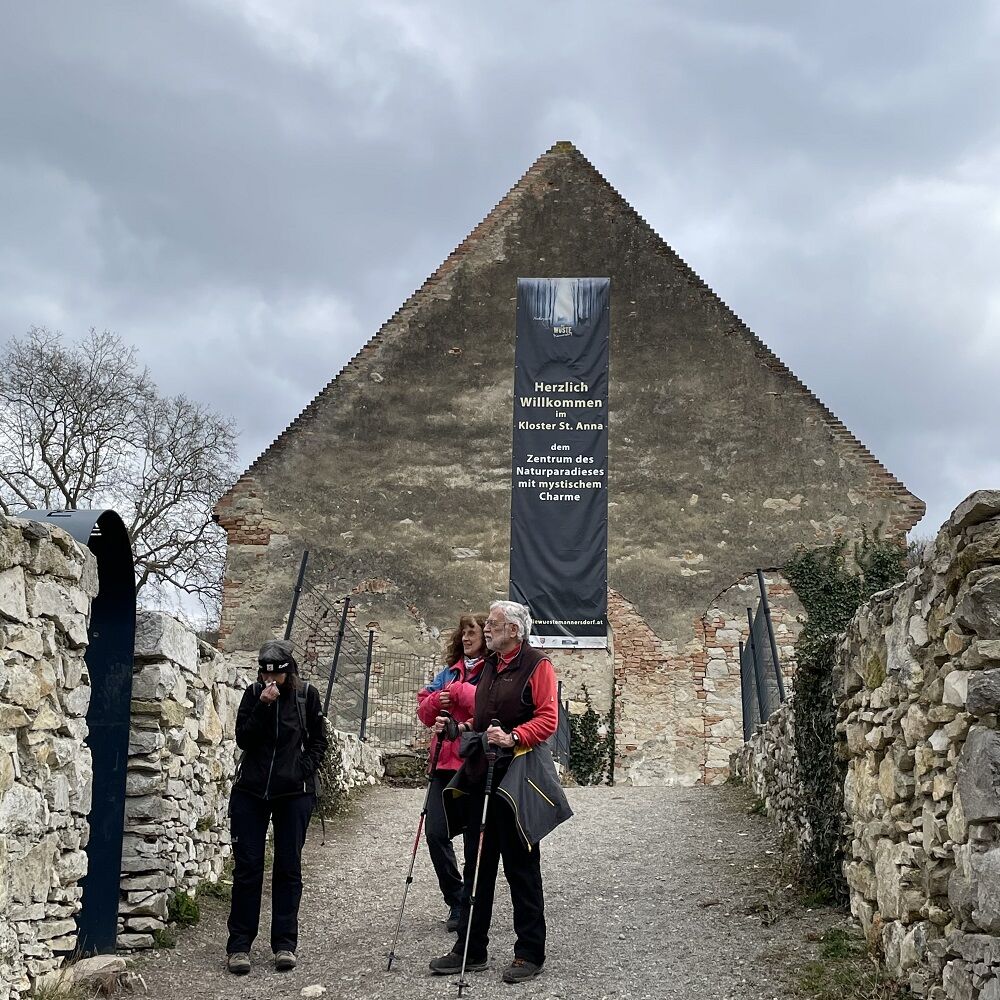
Parkplatz Kirche Mannersdorf – Kalkofen Baxa – Naturpark Wüste Mannersdorfer – Ruine Scharfeneck – Scheiterberg – Kirche Mannersdorf.
- Difficulté
-
facile
- Évaluation
-
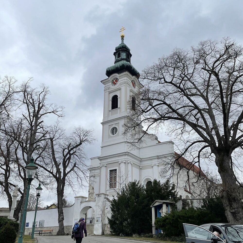
- Point de départ
-
Kirche Mannersdorf
- Parcours
-
Mannersdorf am LeithagebirgeSt. Martin0,0 kmSchlossberg (337 m)4,6 kmMannersdorf am Leithagebirge8,0 km
- Meilleure saison
-
janv.févr.marsavrilmaijuinjuil.aoûtsept.oct.nov.déc.
- Hauteur maximale
- 337 m
- Point de mire
-
Kirche Mannersdorf


- Source
- Franz ANGELO Gruber
GPS Downloads


Autres parcours dans les régions