© Mostviertel - Wolfgang Wutzl

- Brève description
-
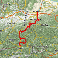
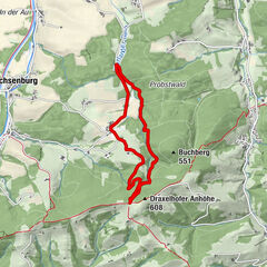
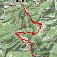
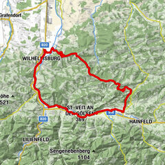
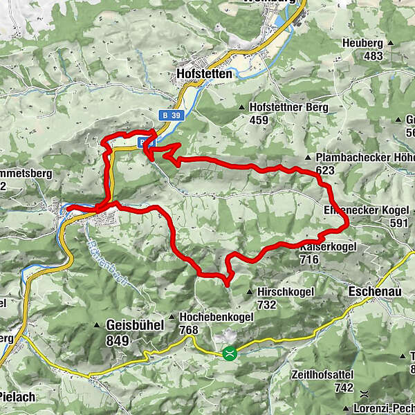
In the Pielachtal, the Dirndltal (valley), is Rabenstein an der Pielach an ideal starting point for many leisure activities, such as mountain biking. With a mountain bike, the circular surrounding peaks can be excellently reach, as also the Kaiserkogel.
- Difficulté
-
moyen
- Évaluation
-
- Parcours
-
RabensteinRabenstein an der Pielach0,2 kmDeutschbach-Siedlung1,5 kmDeutschbach2,3 kmLuccamühle4,0 kmKaiserkogelhütte (716 m)8,0 kmKaiserkogel (716 m)8,0 kmMeiselhöhe9,8 kmPlambacheck12,8 kmMainburg19,2 kmRabenstein an der Pielach21,9 kmRabenstein22,1 km
- Meilleure saison
-
janv.févr.marsavrilmaijuinjuil.aoûtsept.oct.nov.déc.
- Hauteur maximale
- 701 m
- Point de mire
-
Rabenstein an der Pielach, Ortszentrum
- Profil en hauteur
-

- Auteur
-
La randonnée Kaiserkogel-Strecke est utilisé par outdooractive.com fourni par.
GPS Downloads


Informations générales
Point de rassemblement
Prometteur
Autres parcours dans les régions
-
Mostviertel
151
-
Pielachtal
74
-
Hofstetten-Grünau
23