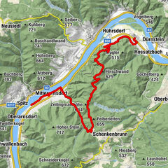
Wachau World Heritage Trail 04: Spitz - Mühldorf

Chemin de Grande Randonnée
© Robert Herbst

© Die Donauregion in Niederösterreich
© Lachlan Blair

© Andreas Hofer
© Rita Newman
© Lachlan Blair
© Lachlan Blair

© Donau Niederösterreich / Markus Haslinger

- Brève description
-
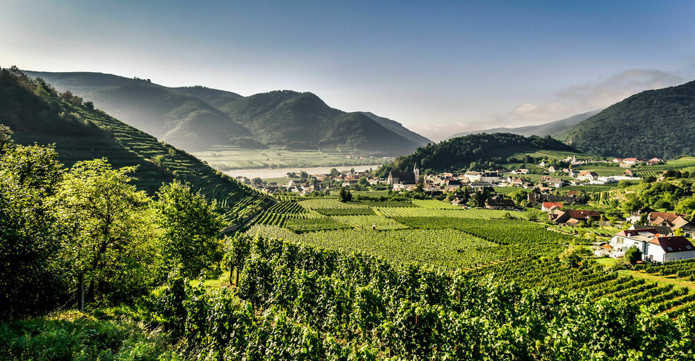
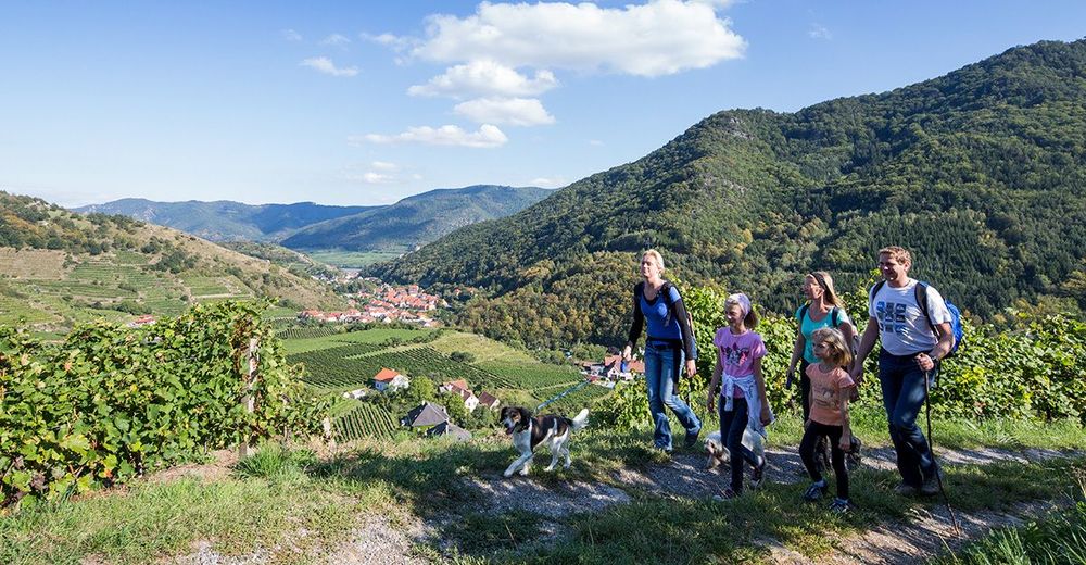
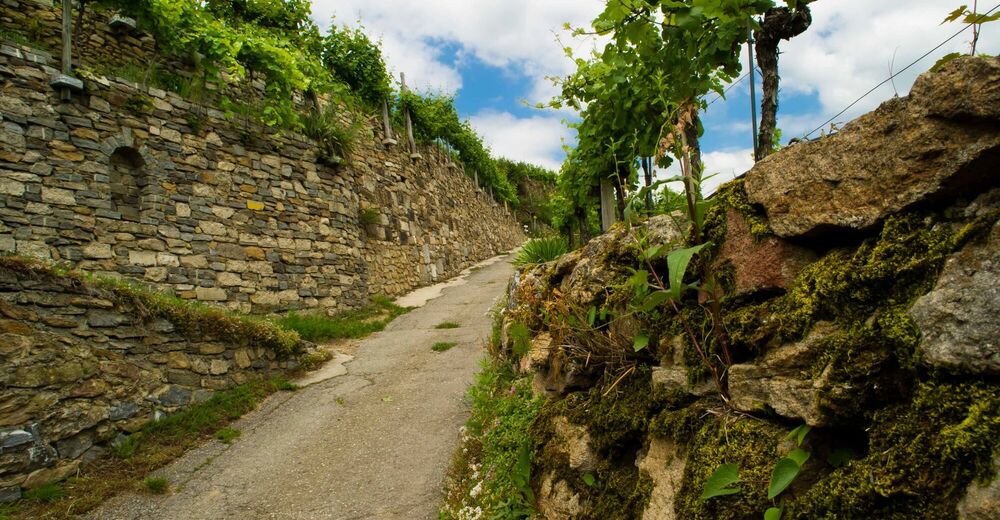
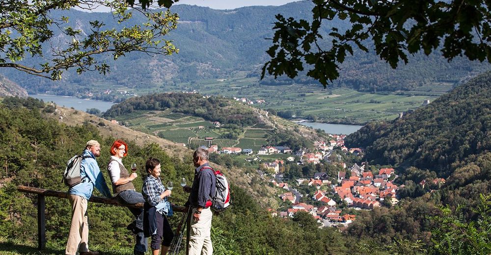
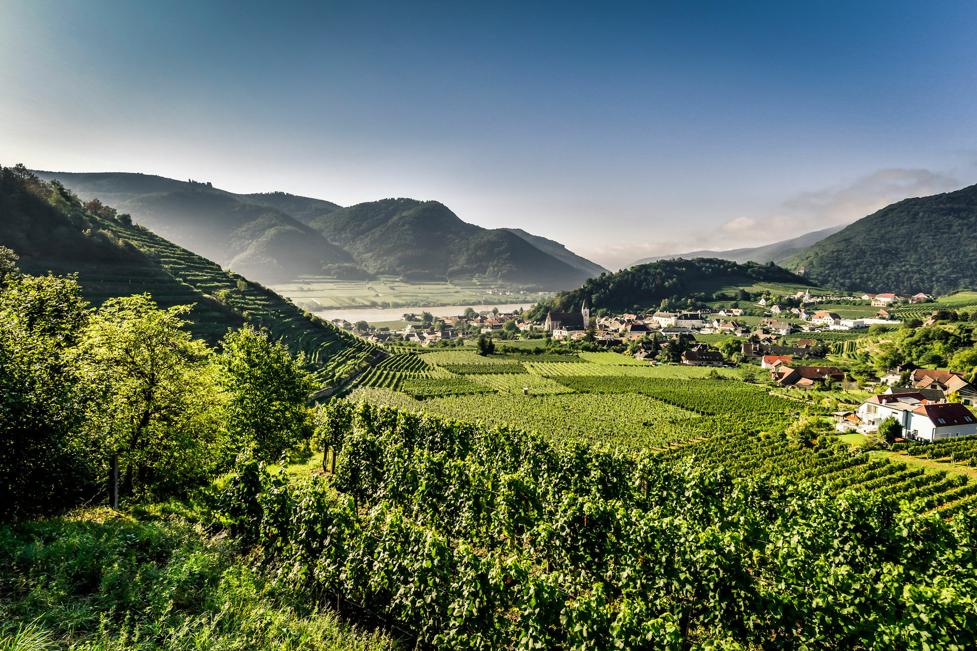
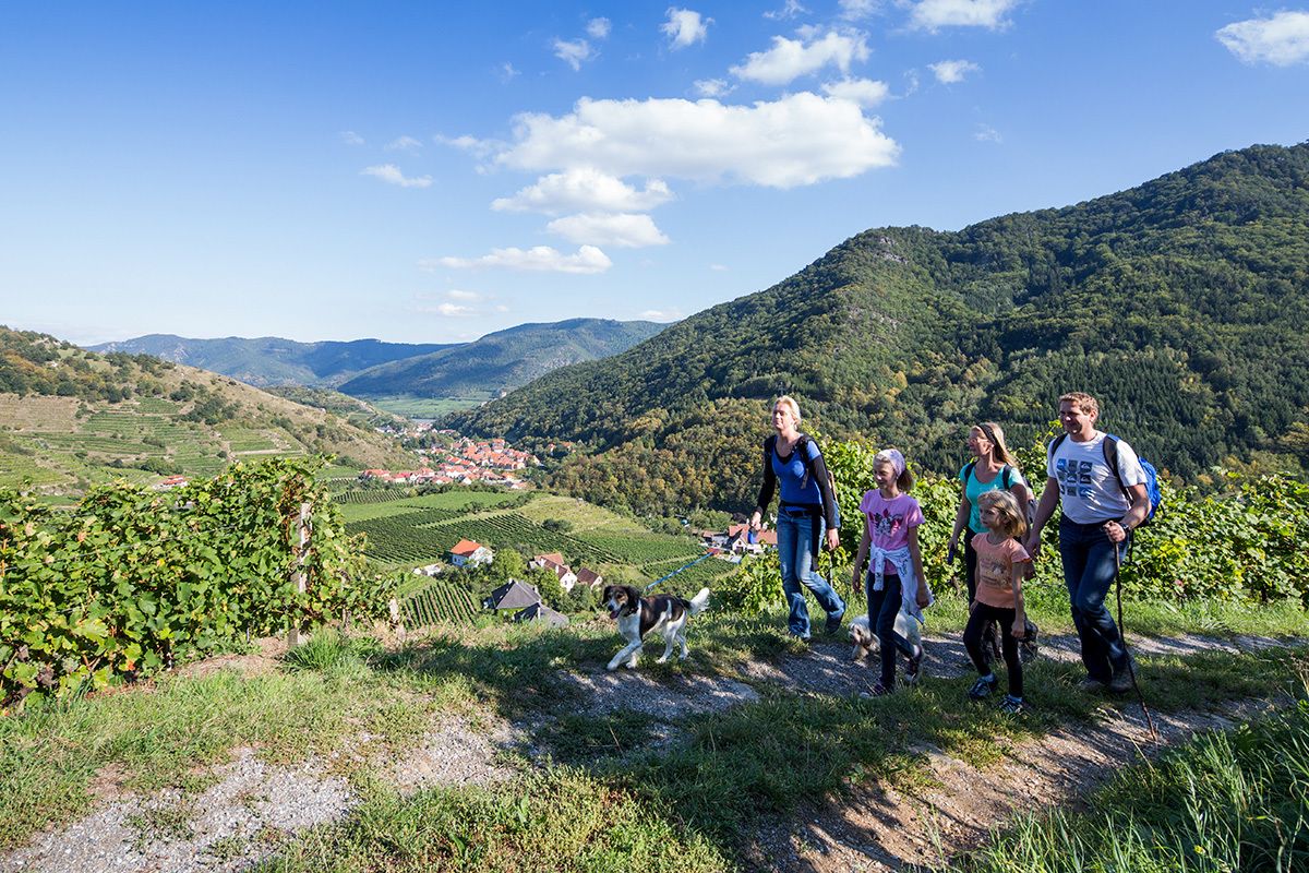
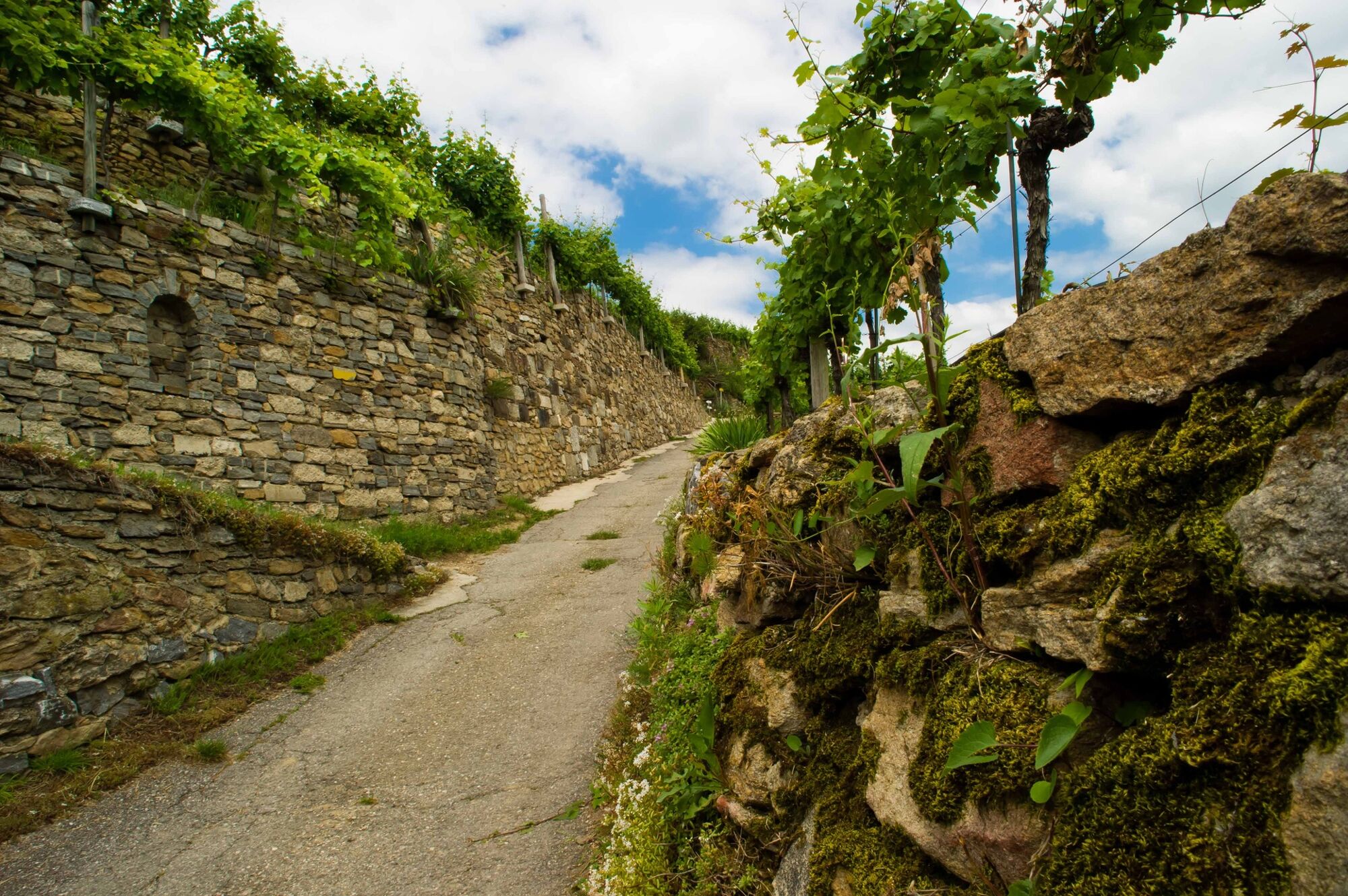
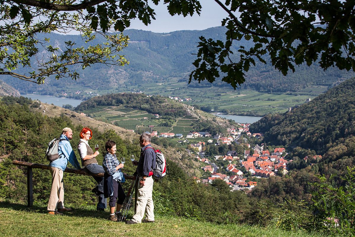
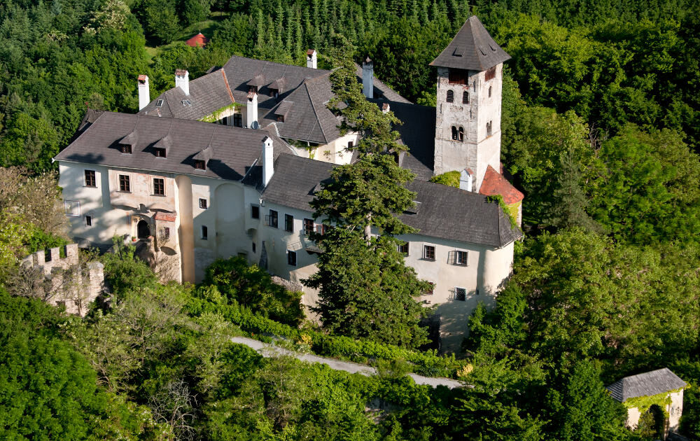
Through the imposing side valley of the Wachau called Spitzer Graben the panoramic way leads from Spitz to Mühldorf. Starting at the Wachau area and ending the stage at the southern part of the wood quarter of Lawer Austria. The steepest and highest stone terraces, old oak and beech woods, wine villages, romantic castle „Oberranna“ and unique impressions and fantastic views into the Spitzer Graben, towards the Danube and the Jauerling await you on this stage.
- Difficulté
-
moyen
- Évaluation
-
- Parcours
-
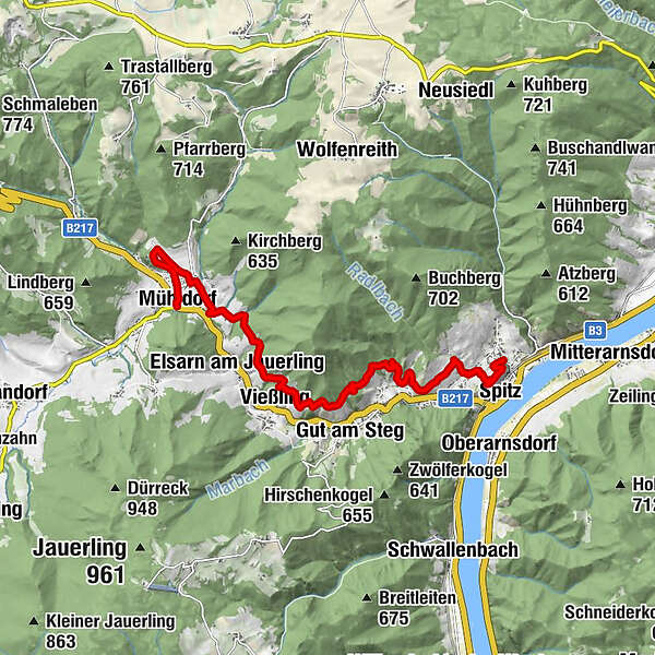
Pfarrkirche hl. MauritiusSpitz0,5 kmBurgberg (314 m)0,6 kmQuitten1,1 kmRadlbach1,2 kmLaaben2,4 kmOffenberg3,6 kmVießling5,8 kmElsarn am Jauerling6,9 kmMuthstal8,2 kmDöpperl8,9 kmGasthaus Busch9,1 kmNiederranna9,2 kmOberranna10,0 kmUnterranna10,4 kmJohannes-Feld10,8 kmMühldorf11,1 kmGasthof Weißes Rössl11,2 km
- Meilleure saison
-
janv.févr.marsavrilmaijuinjuil.aoûtsept.oct.nov.déc.
- Hauteur maximale
- 443 m
- Point de mire
-
Mühldorf, Marktplatz (market square)
- Profil en hauteur
-


- Auteur
-
La randonnée Wachau World Heritage Trail 04: Spitz - Mühldorf est utilisé par outdooractive.com fourni par.
GPS Downloads


Informations générales
Point de rassemblement
Flore
Prometteur
Autres parcours dans les régions