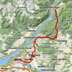
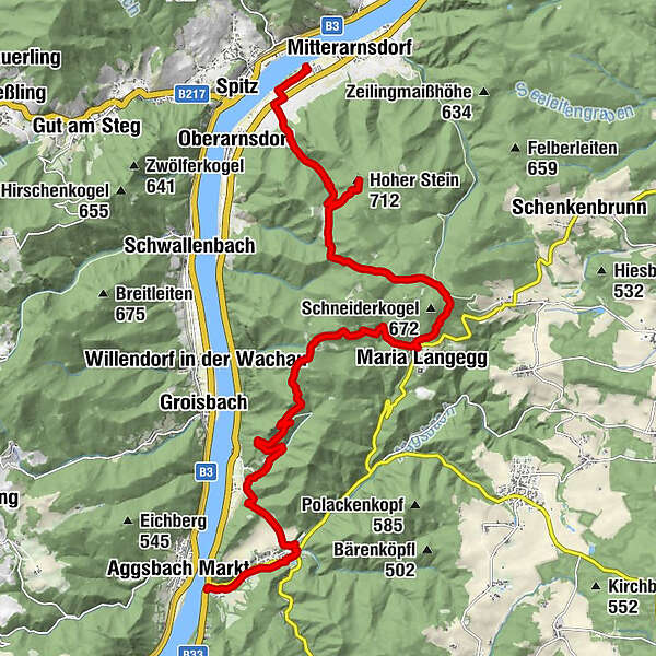
Wachau World Heritage Trail 10: Aggsbach Dorf - Hofarnsdorf

Chemin de Grande Randonnée
© Daniela Matejschek

© Die Donauregion in Niederösterreich

© Wachau Inside

© Wachau Inside

© Wachau Inside
© Daniela Matejschek

© Wachau Inside
© Daniela Matejschek

© Daniela Matejschek

- Brève description
-
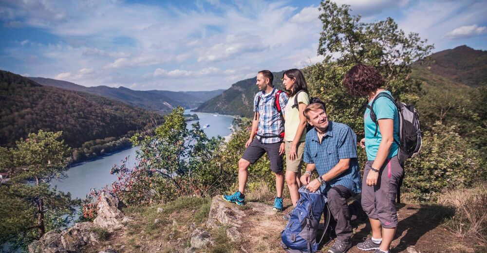
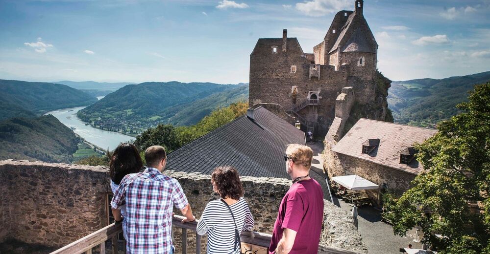
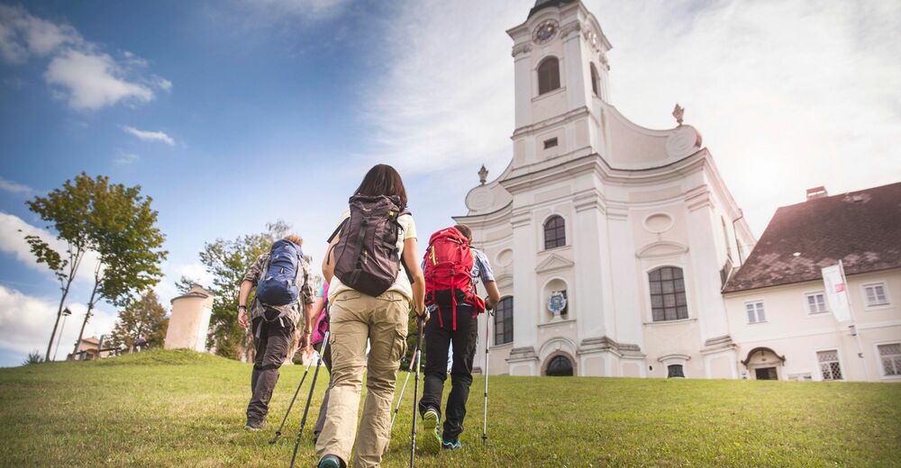
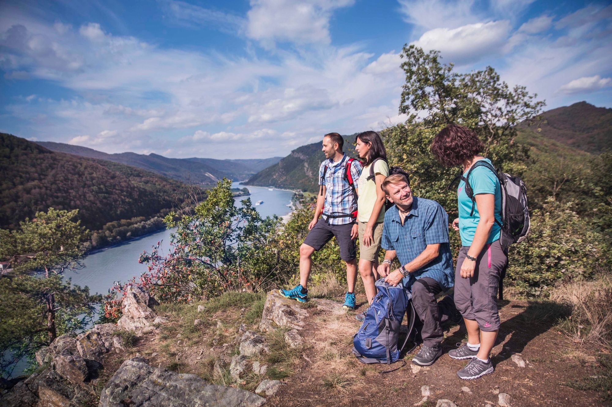
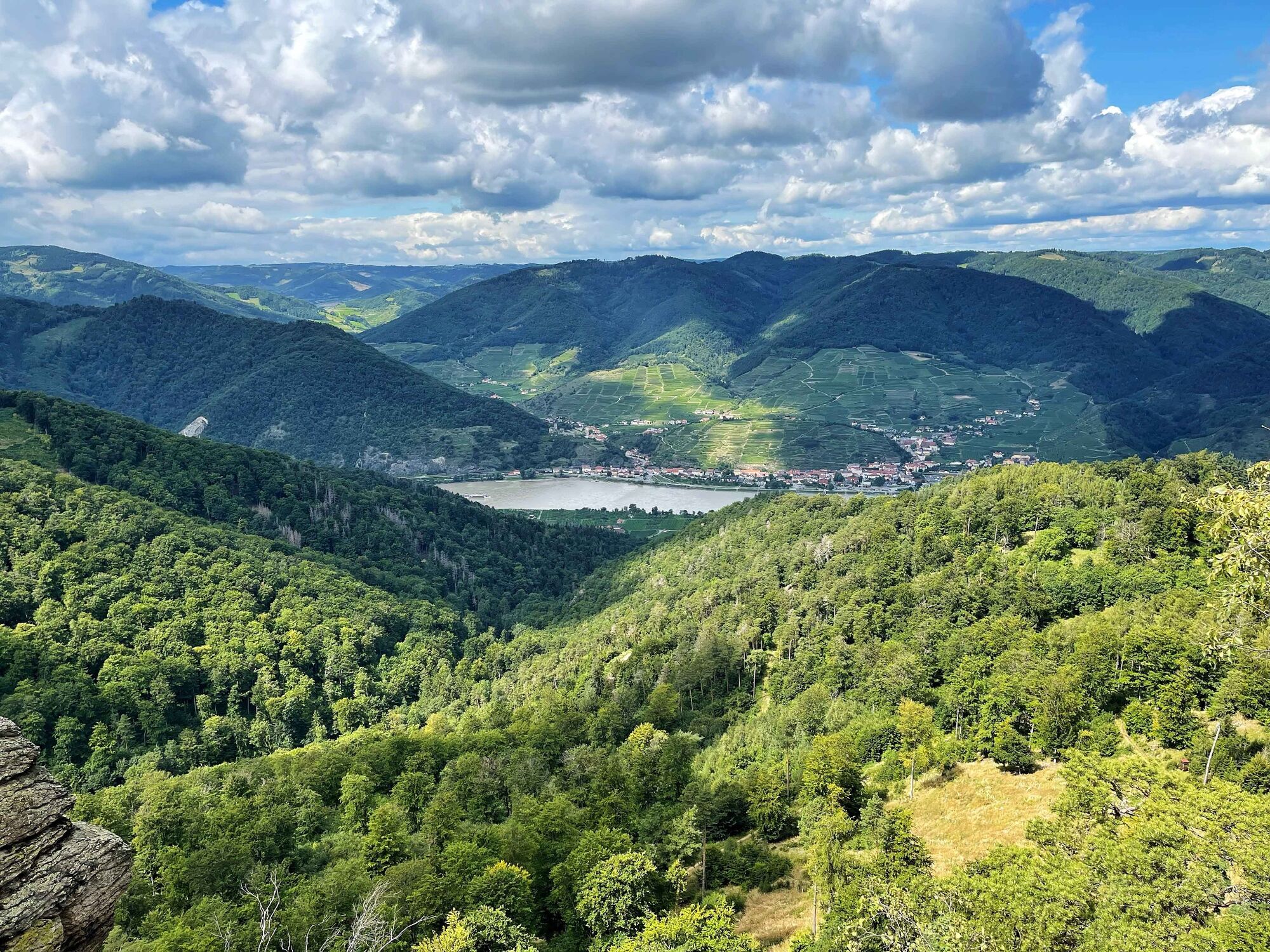
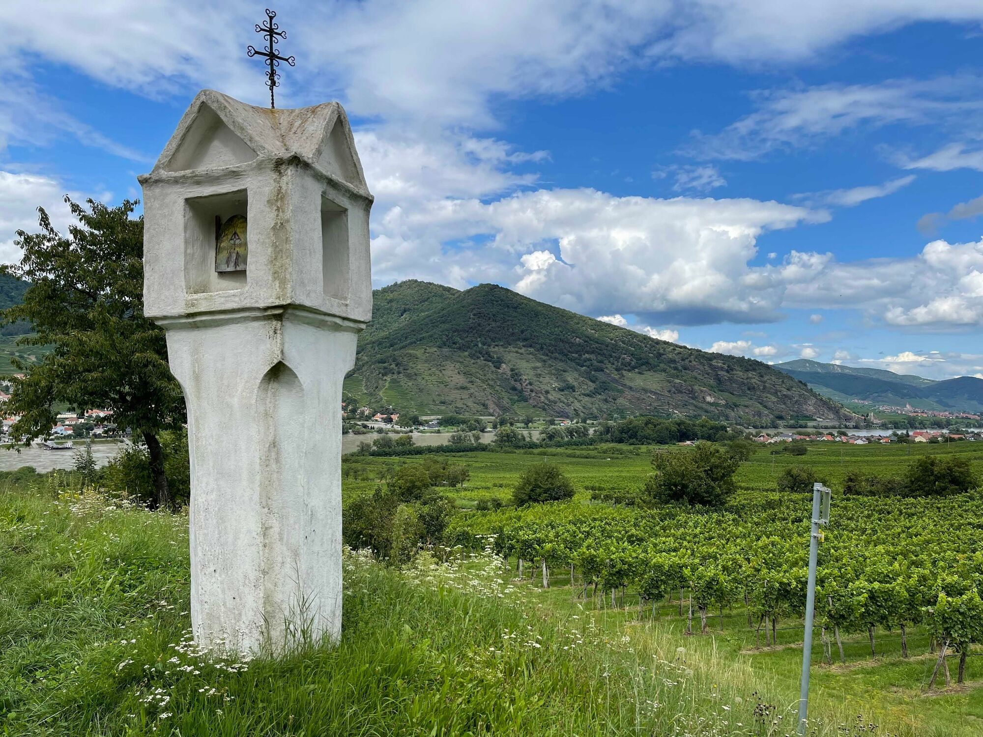
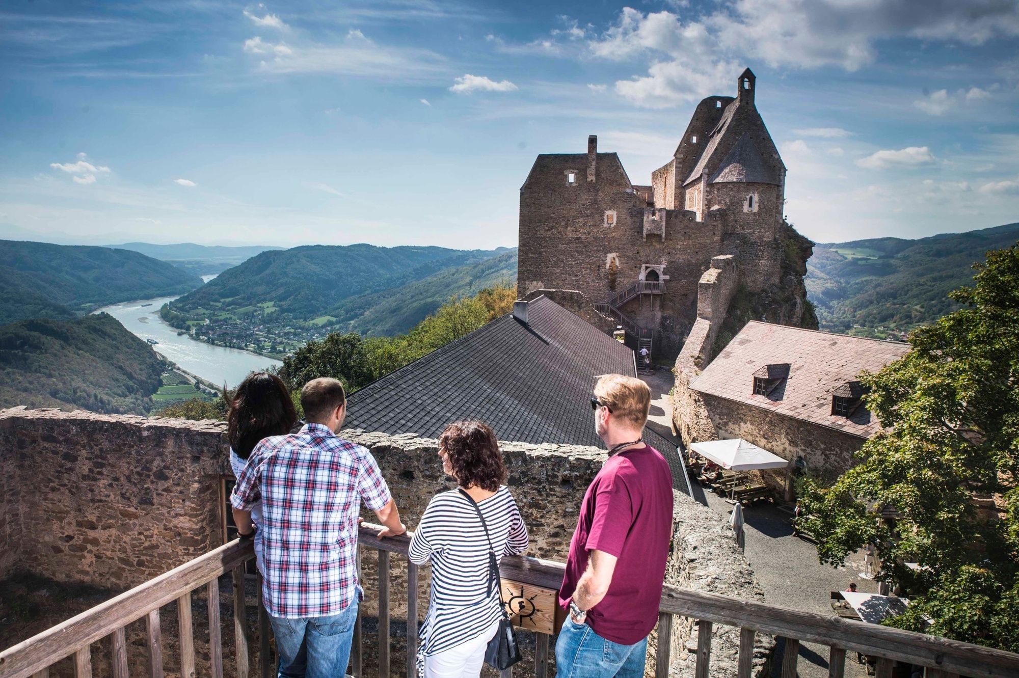
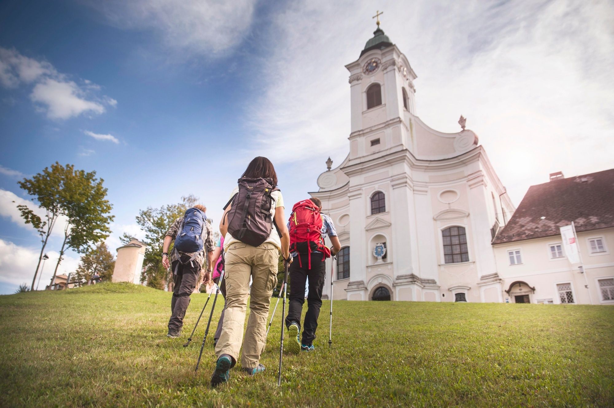
The „Kuenringerfeste“ (fort of the knights lineage Kuenring) todays castle ruin Aggstein, the magnificent Baroque pilgrimage monastery Maria Langegg, less known Dunkelsteinerwald (dark stone wood) with the Buchental (beech valley) and fantastic views of surrounding area between Hohen Stein (rock) and Glauberkreuz (cross) in the vineyards of Arnsdorf are part of the stage from Aggsbach Dorf to Hofarnsdorf.
- Difficulté
-
moyen
- Évaluation
-
- Parcours
-
Aggsbach-Dorf0,9 kmDomingo1,2 kmGasthof Lechner1,5 kmFelsdach5,9 kmMaria Langegg9,2 kmHoher Stein (712 m)13,9 kmBuchental15,6 kmHofarnsdorf17,5 kmPfarrkirche hl. Rupert17,6 km
- Meilleure saison
-
janv.févr.marsavrilmaijuinjuil.aoûtsept.oct.nov.déc.
- Hauteur maximale
- 689 m
- Point de mire
-
Hofarnsdorf, castle
- Profil en hauteur
-


- Auteur
-
La randonnée Wachau World Heritage Trail 10: Aggsbach Dorf - Hofarnsdorf est utilisé par outdooractive.com fourni par.
GPS Downloads


Informations générales
Point de rassemblement
Culturel/Historiquement
Flore
Prometteur
Autres parcours dans les régions
-
Donau Niederösterreich
2288
-
Dunkelsteinerwald
1371
-
Schönbühel-Aggsbach
533