© Wienerwald Tourismus GmbH_Raimo Rudi Rumpler - Wienerwald Tourismus GmbH

- Brève description
-
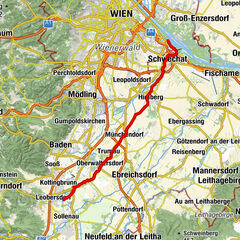
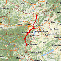
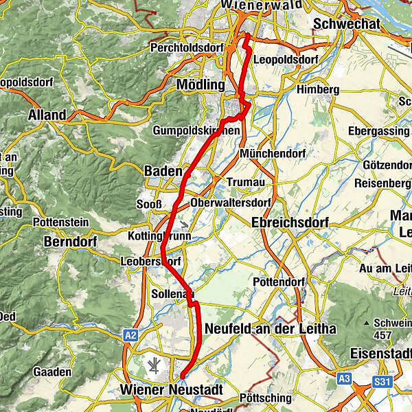
The north-south axis through the wider area - The EuroVelo 9 is part of Europe’s cycling network and links the Baltic Sea to the Adriatic Sea. About 180 km of the route from Danzig to Pula goes through Lower Austria. The approximately 55-kilometre long section of the EuroVelo 9, which links Vienna’s city boundary at Inzersdorf/Vorarlberger Allee to Kleinwolkersdorf in Vienna New Town, is called the ‘Thermenradweg’.
- Difficulté
-
facile
- Évaluation
-
- Parcours
-
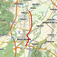
Vienne (542 m)Vösendorf (194 m)1,2 kmHubertuskapelle6,6 kmGuntramsdorf13,2 kmArtus Stüberl14,7 kmGasthof Keller14,9 kmTraiskirchen16,8 kmTribuswinkel19,7 kmBaden20,5 kmDie Kanaläcker22,4 kmWein&Gut - Weingut Rathbauer26,0 kmKottingbrunn26,9 kmWiener Neustadt (262 m)43,4 km
- Meilleure saison
-
janv.févr.marsavrilmaijuinjuil.aoûtsept.oct.nov.déc.
- Hauteur maximale
- 266 m
- Point de mire
-
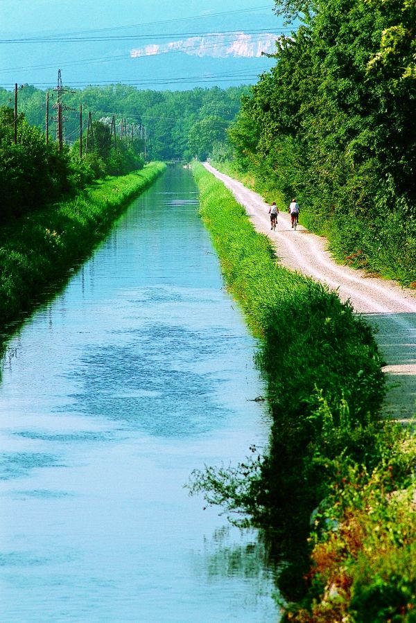
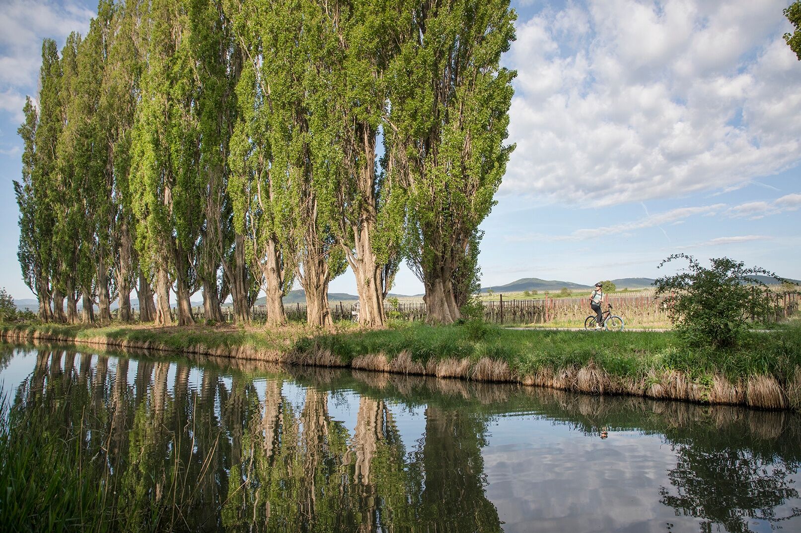
128 / 2048 South of Wiener Neustadt near Kleinwolkersdorf - flowing on EuroVelo 9 to the transition area in the Vienna Alps
- Profil en hauteur
-

- Auteur
-
La randonnée „Thermenradweg“ (Spas route) est utilisé par outdooractive.com fourni par.
GPS Downloads


Informations générales
Point de rassemblement
Culturel/Historiquement
Autres parcours dans les régions
-
Wienerwald
20