

© Wiener Alpen in Niederösterreich - Bartl


© IG der Gemeinden des Piestingtales

© Wiener Alpen in Niederösterreich - Wiener Alpen in Niederösterreich Tourismus GmbH


© Wiener Alpen in Niederösterreich - Bartl

© Wiener Alpen in Niederösterreich - Bartl

© Wiener Alpen in Niederösterreich - Bartl
- Brève description
-
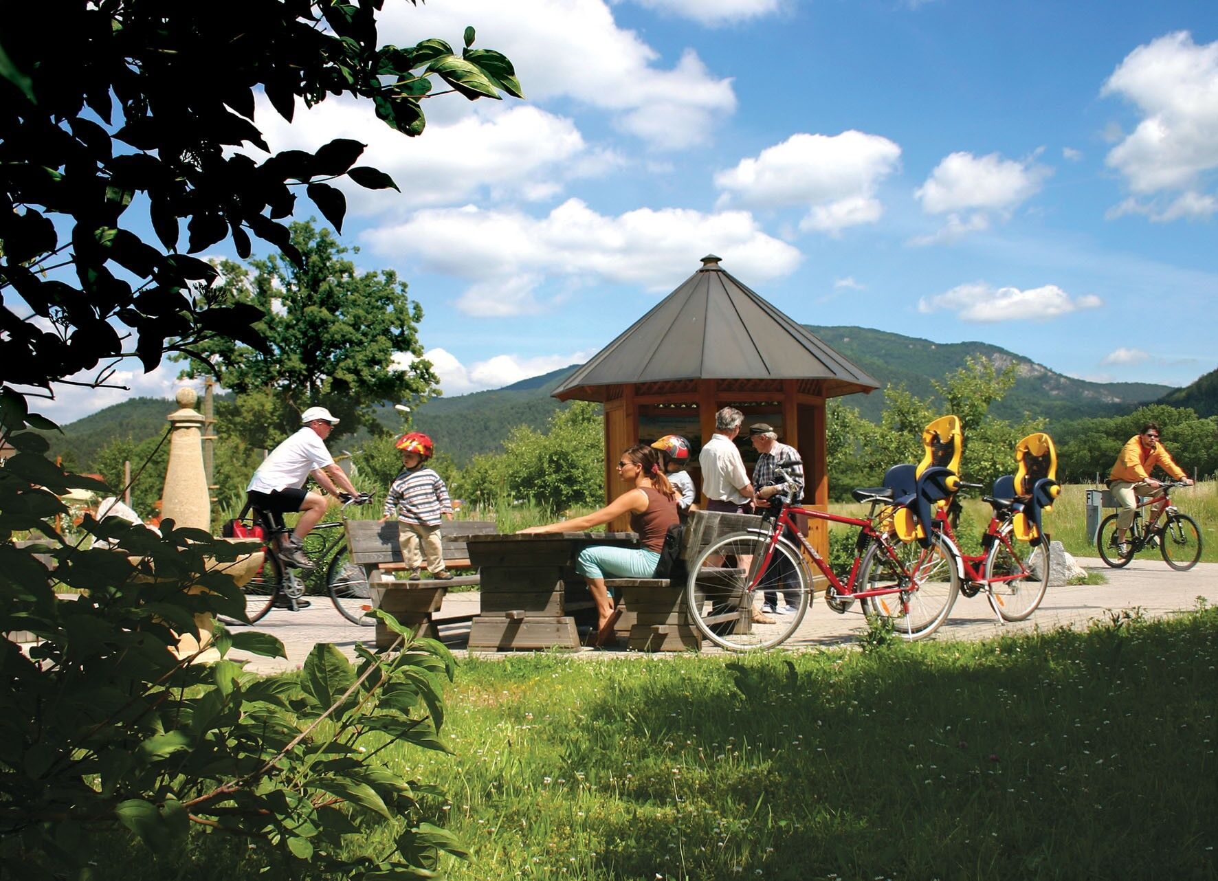
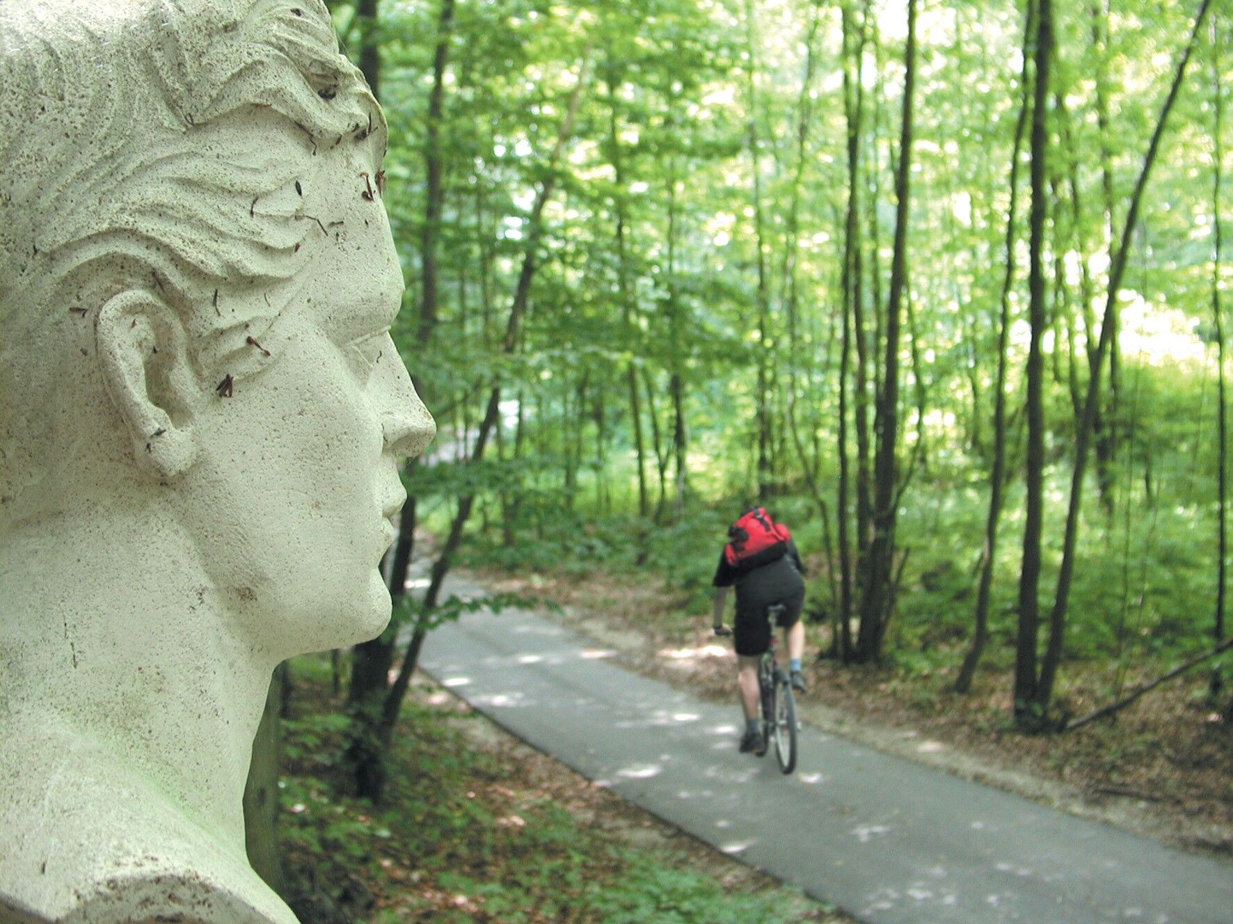
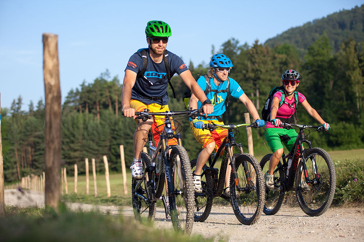
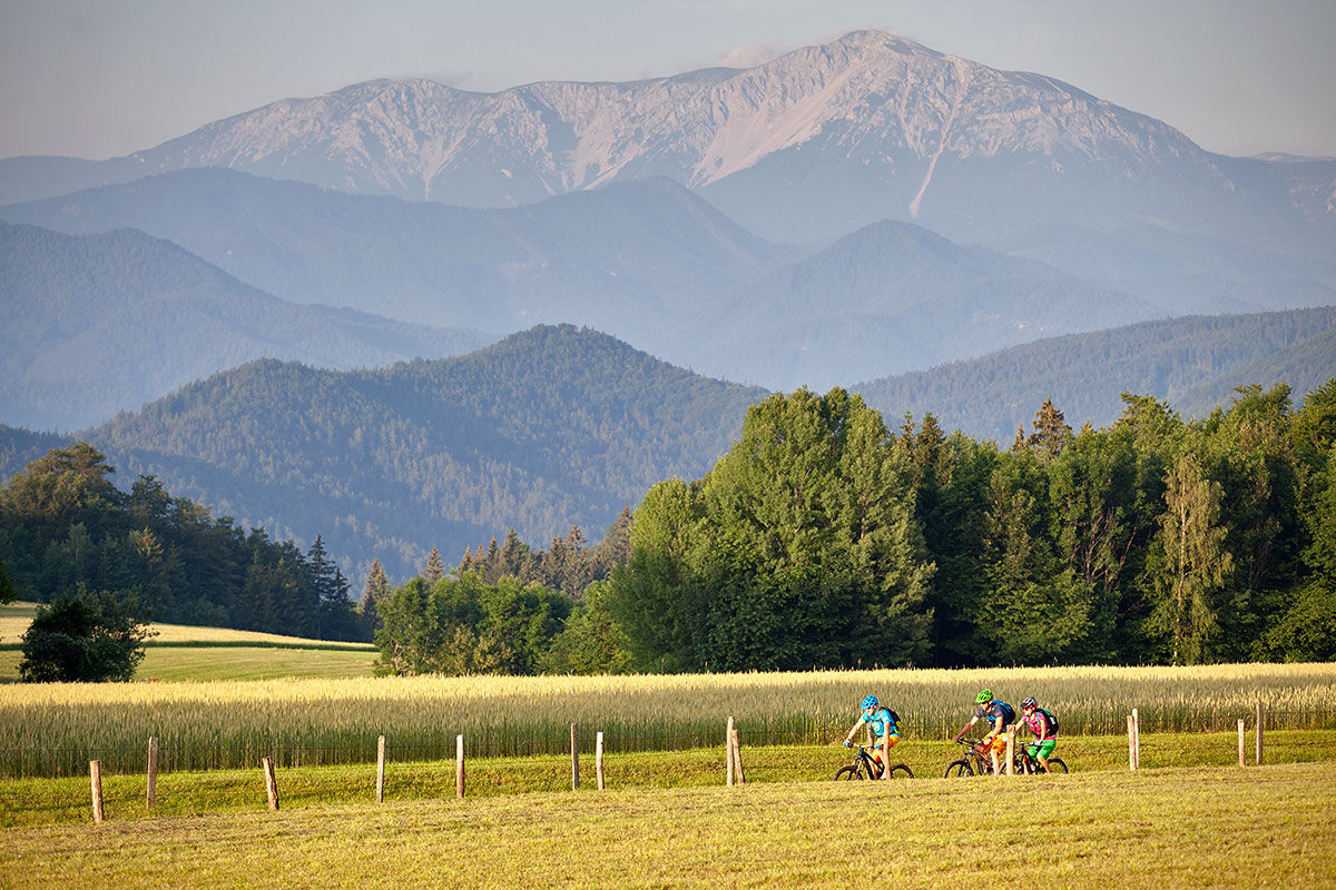
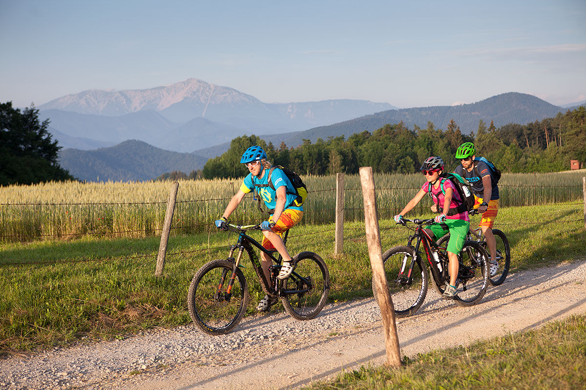
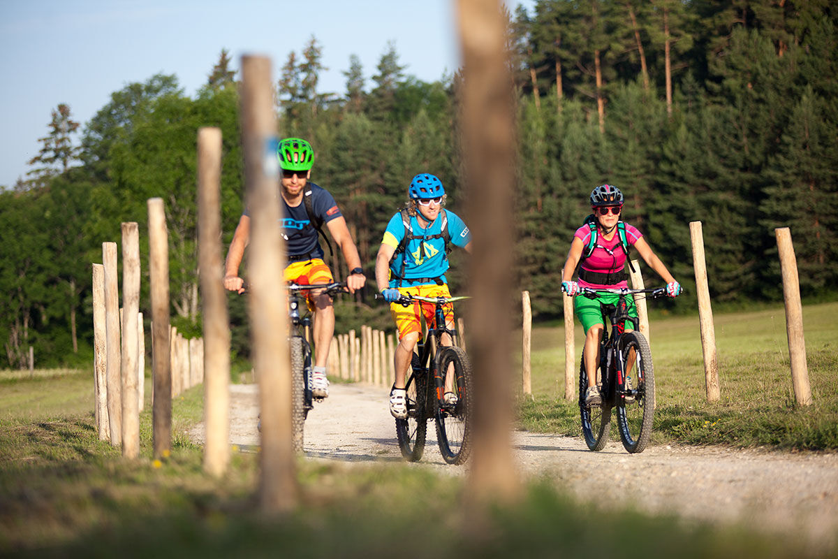
An enjoyable bicycle ride through the Valley of the poets (Ferdinand Raimund), and that of the musicians (Johannes Brahms) and the painters Friedrich Gauermann and Leopold Kuppelwieser which leads from Markt Piesting to Gutenstein. Some info-pavilions along the route provide insight into the time of the Biedermeiers, which was from 1815 to 1848. The exhibition in the Waldbauern Museum in Gutenstein revives the Biedermeier in the Piestingtal (valley).
- Difficulté
-
moyen
- Évaluation
-
- Parcours
-
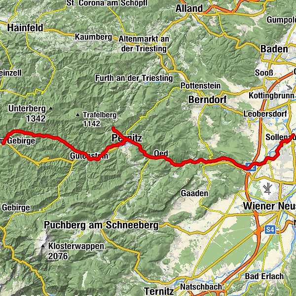
Gasthaus am Kirchenfeld1,7 kmSollenau2,1 kmFelixdorf4,9 kmSteinabrückl8,5 kmWöllersdorf11,3 kmHl. Georg11,4 kmMarkt Piesting15,2 kmPiestingerhof15,8 kmOber-Piesting17,9 kmOberpiesting18,1 kmWopfing19,8 kmPeisching21,0 kmWaldegg (402 m)21,9 kmAm Kogel22,5 kmKogel (421 m)22,8 kmAugustinbrunnen23,0 kmElisabethkapelle23,0 kmWaldegger Hals (386 m)23,1 kmOedhöhle I24,1 kmOed24,9 kmReichental26,2 kmZens-Kapelle26,3 kmReichentalerhof26,3 kmQuarb27,2 kmOrtmann29,3 kmOrtmann30,0 kmPernitz (430 m)31,6 kmRaimundviertel33,2 kmBlättertal35,4 kmVorderbruck36,9 kmChristusgrotte38,0 kmLuftschutzstollen38,0 kmGutenstein38,9 kmKegelbahn39,0 kmTürkensturz39,2 kmSteinapiesting40,8 kmWieser44,5 kmGasthof Furtner49,3 kmFuchsgrabenhöhle50,7 kmKlauswirt (Gasthaus zur Klaus)50,7 kmgoldener Wagen51,4 kmBergmanderllucka51,7 kmRohr im Gebirge53,3 kmBergmanderllucka55,5 kmgoldener Wagen55,8 kmKlauswirt (Gasthaus zur Klaus)56,5 kmFuchsgrabenhöhle56,5 kmGasthof Furtner57,9 kmWieser62,5 kmSteinapiesting66,4 kmTürkensturz68,0 kmGutenstein68,2 kmKegelbahn68,2 kmLuftschutzstollen69,0 kmChristusgrotte69,1 kmVorderbruck70,1 kmBlättertal71,6 kmRaimundviertel73,8 kmPernitz (430 m)75,2 kmGasthof Lindenhof76,1 kmMuggendorf77,5 km
- Meilleure saison
-
janv.févr.marsavrilmaijuinjuil.aoûtsept.oct.nov.déc.
- Hauteur maximale
- 772 m
- Point de mire
-
Gutenstein respectively Rohr im Gebirge
- Profil en hauteur
-

- Auteur
-
La randonnée Piestingtal bike route est utilisé par outdooractive.com fourni par.
GPS Downloads


Informations générales
Point de rassemblement
Prometteur
Autres parcours dans les régions

