

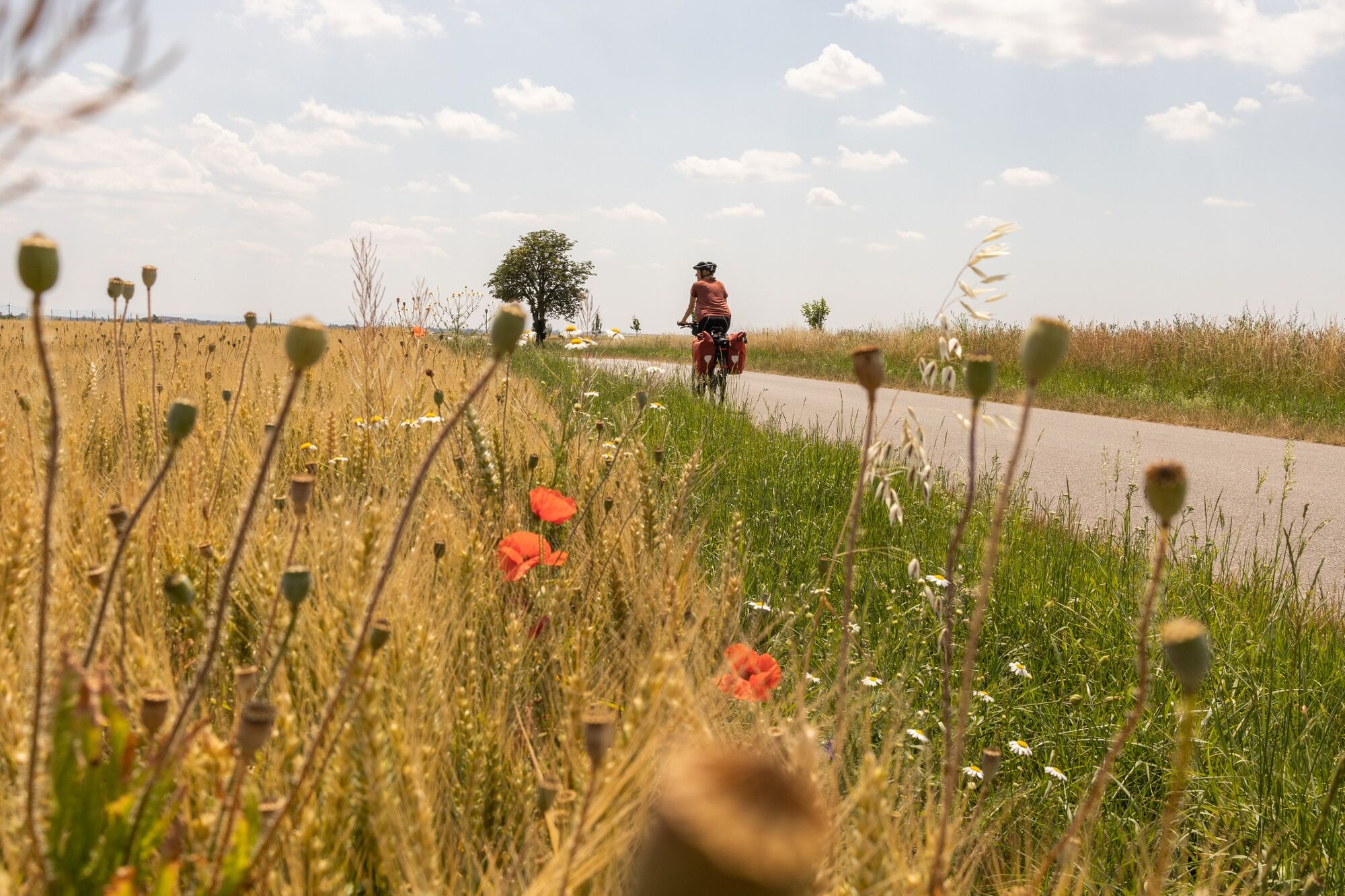
© Niederösterreich Werbung / Franziska Consolati

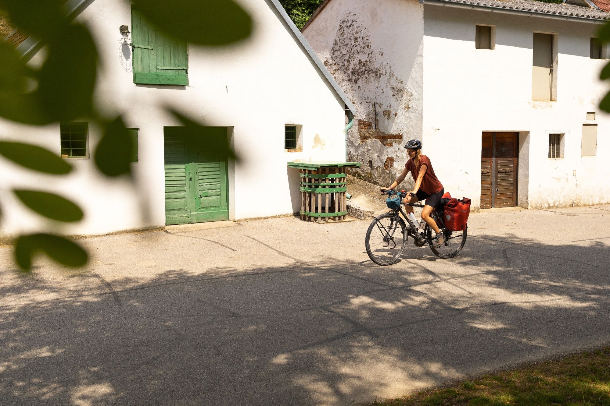
© Niederösterreich Werbung / Franziska Consolati

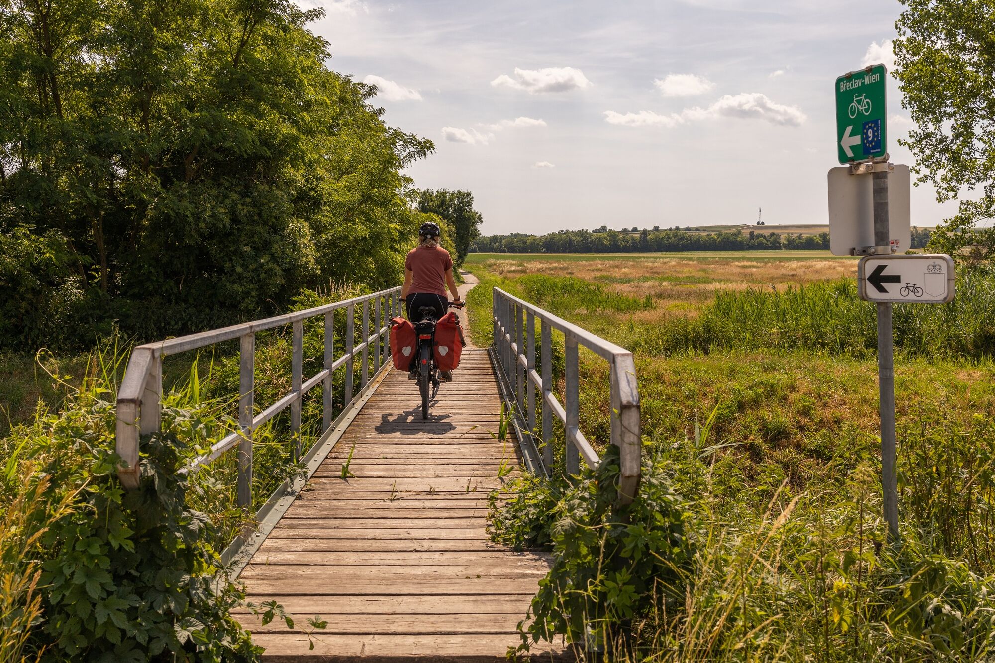
© Niederösterreich Werbung / Franziska Consolati

- Brève description
-
The North-South-axis through the vast country
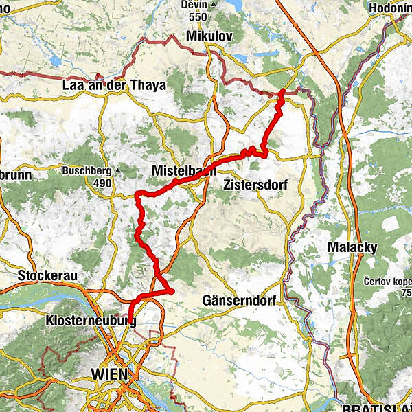
The EuroVelo 9 is part of the European long-distance cycle routes network and connects the Baltic Sea with the Adriatic. On the way from Gdańsk to Pula about 180 km run through Lower Austria, first quietly through the Weinviertel (section Břeclav - Vienna), then through Vienna, then enjoyably through the thermal spring region (Thermenradweg (bike path) and alternatively the Triestingau-bike path) and finally a little more demanding along the Thermenradweg (bike path).
The section North of Vienna in the Weinviertel is located on the axis of Břeclav-Vienna.
- Difficulté
-
moyen
- Évaluation
-
- Parcours
-
Eibesbrunn8,2 kmPillichsdorf13,1 kmObersdorf14,9 kmAntoniuskapelle15,1 kmWolkersdorf im Weinviertel16,5 kmKapelle Maria Lourdes17,1 kmCooper's Saloon19,0 kmSchleinbach22,4 kmGasthof Magister24,2 kmUnterolberndorf24,4 kmHornsburg29,2 kmOberkreuzstetten32,6 kmHerrnleis37,4 kmEggersdorf40,5 kmToni’s Cabana40,5 kmLadendorf43,0 kmSteiner's Cafe & Restaurant Annenheim43,0 kmLeopoldstadt43,0 kmLanzendorf50,7 kmMistelbach51,1 kmEbendorf52,5 kmHobersdorf57,1 kmWilfersdorf57,4 kmBullendorf59,7 kmRannersdorf an der Zaya63,3 kmPrinzendorf an der Zaya63,5 kmHauskirchen68,9 kmGasthaus Tina71,5 kmNeusiedl an der Zaya71,8 kmGasthaus Gaby Stratjel71,9 kmSankt Ulrich73,9 kmSchwefelquelle74,3 kmKellerheuriger Nagl77,0 kmAltlichtenwarth77,8 kmSt. Nikolaus78,1 kmScheibenfeld83,6 kmReintal86,0 km
- Meilleure saison
-
janv.févr.marsavrilmaijuinjuil.aoûtsept.oct.nov.déc.
- Hauteur maximale
- 303 m
- Point de mire
-
Wien Zentrum / Stephansplatz
- Profil en hauteur
-

- Auteur
-
La randonnée Bike route Břeclav-Vienna est utilisé par outdooractive.com fourni par.
GPS Downloads


Informations générales
Point de rassemblement
Prometteur
Autres parcours dans les régions
-
Weinviertel
16
-
Leiser Berge
5