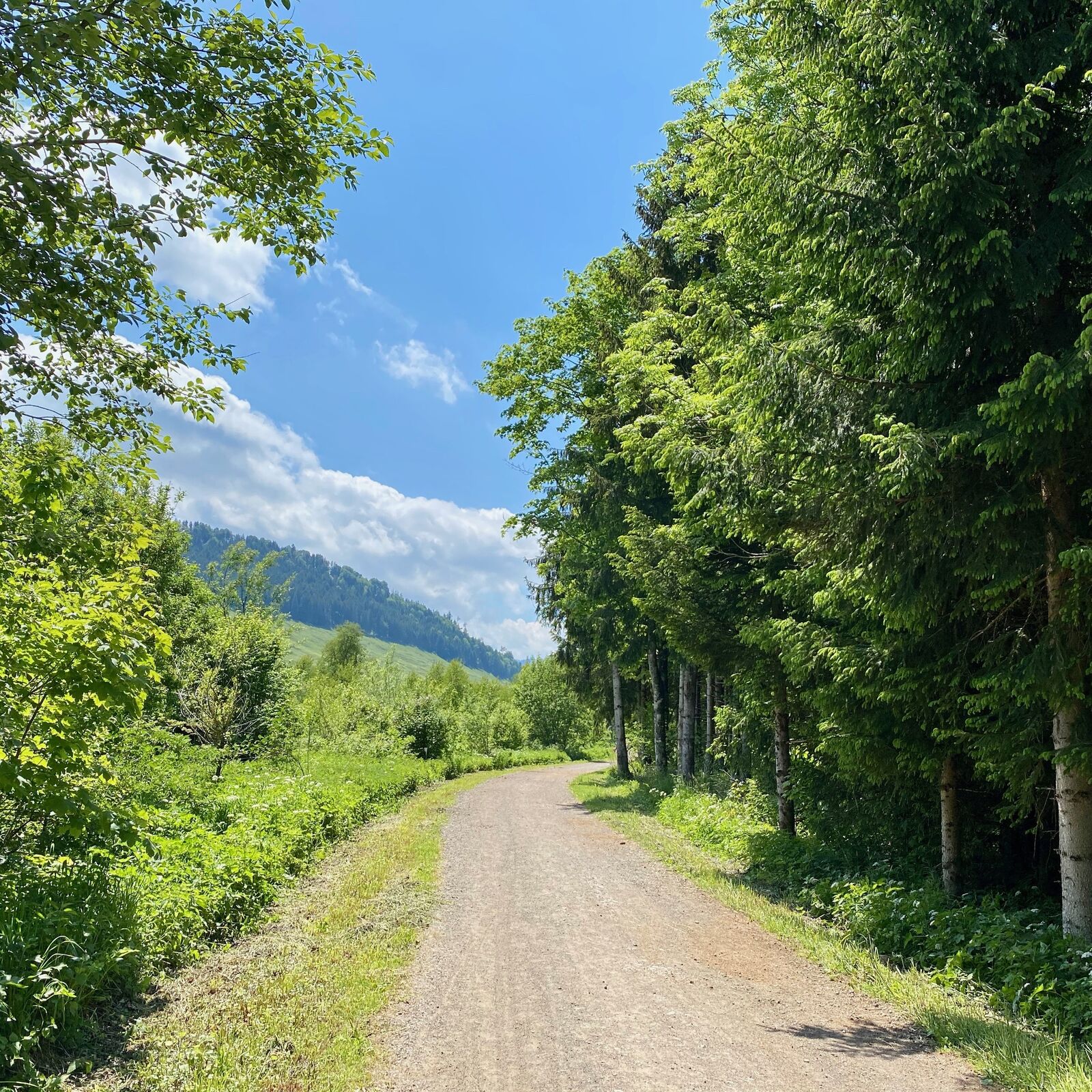
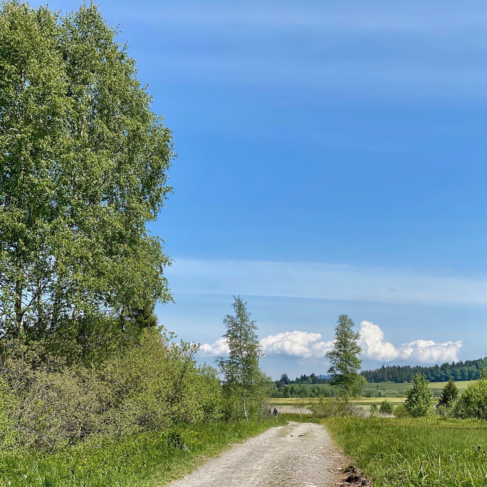
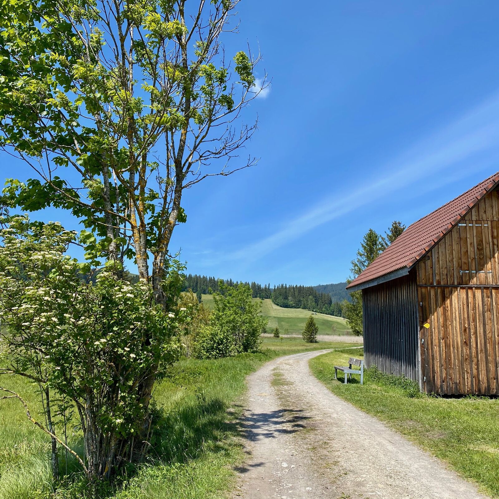
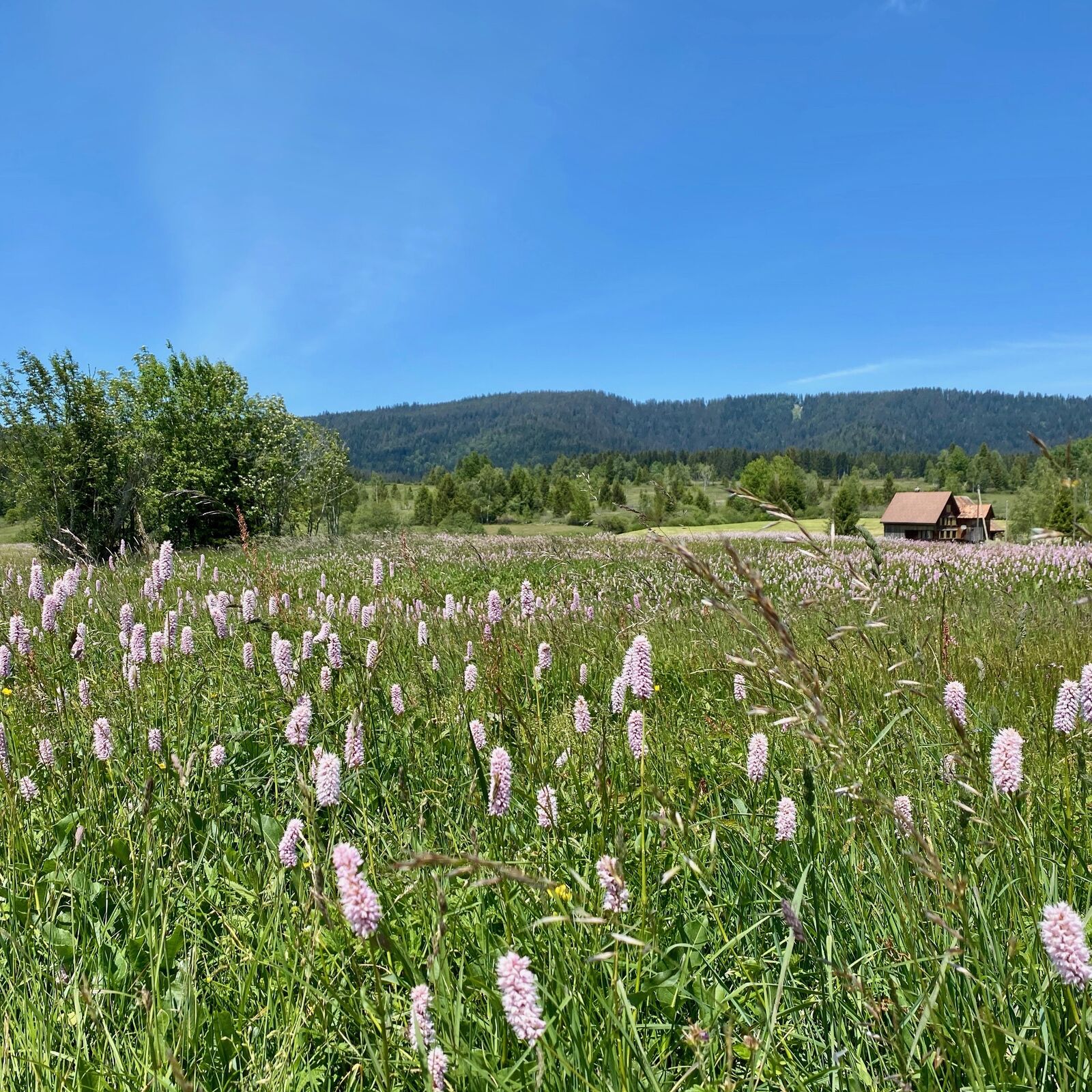
WanderWunder Schwyz: Round Hike Moorland Rothenthurm

Randonnée

© Schwyz Tourismus - Manuela Gili

© Schwyz Tourismus - Manuela Gili

© Schwyz Tourismus - Manuela Gili

© Schwyz Tourismus - Manuela Gili

© Schwyz Tourismus - Manuela Gili

© Schwyz Tourismus - Manuela Gili

© Schwyz Tourismus - Manuela Gili

© Schwyz Tourismus - Manuela Gili

- Brève description
-
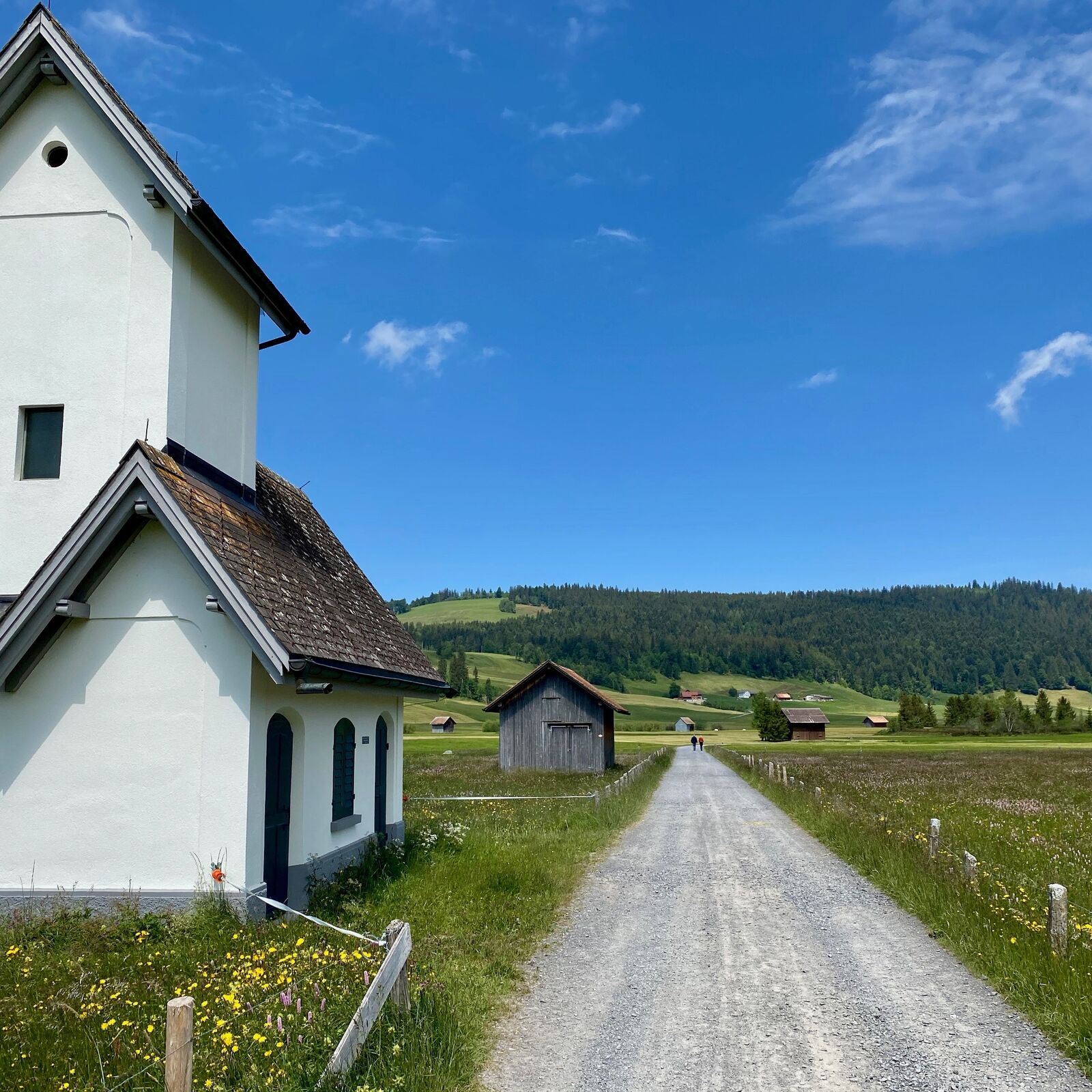
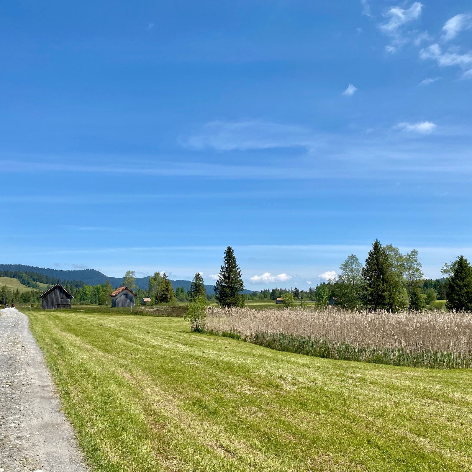
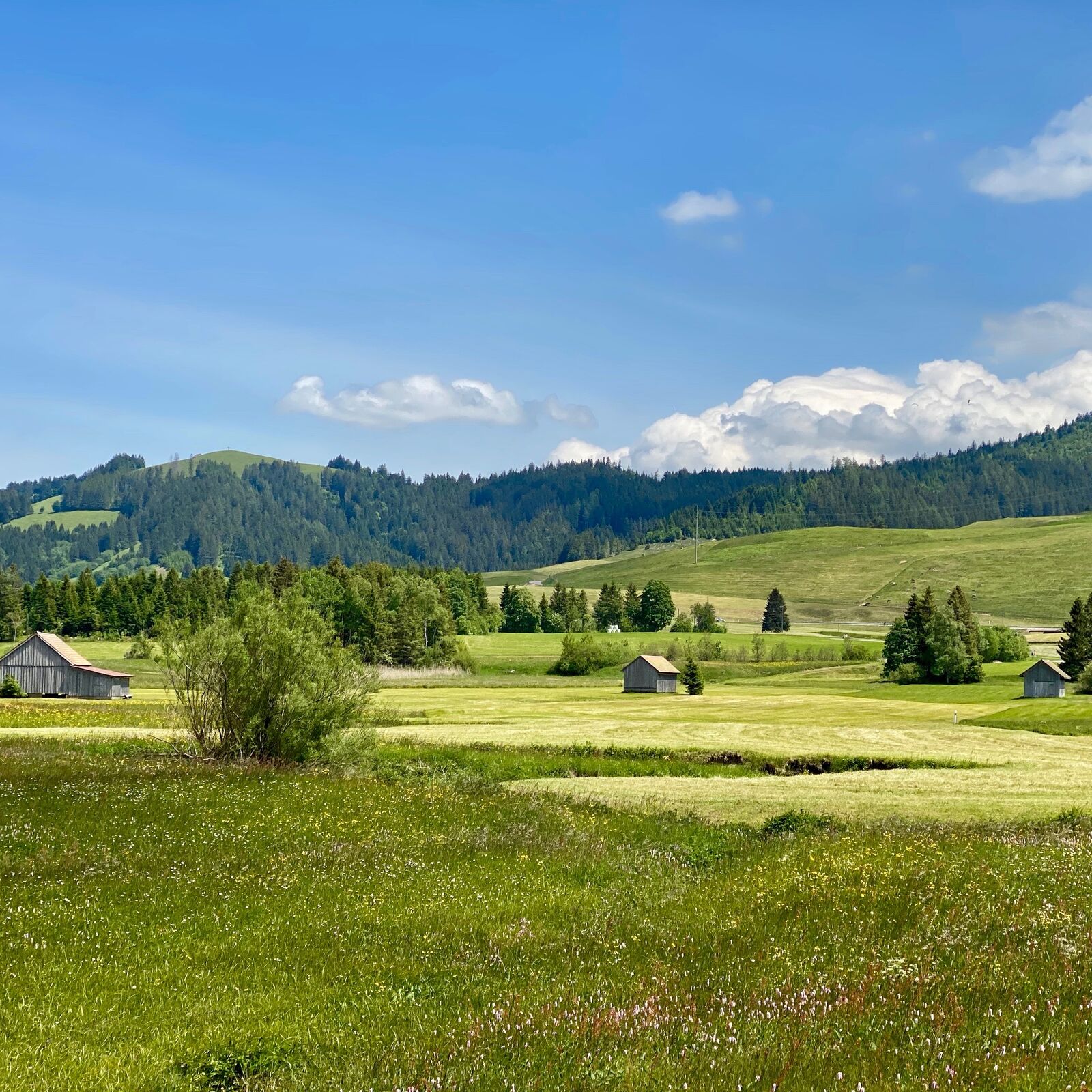
Rothenthurm is a diverse area in every season. However, the colours of Switzerland's largest continuous upland moorland shine most beautifully in autumn.
- Difficulté
-
facile
- Évaluation
-
- Parcours
-
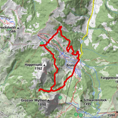
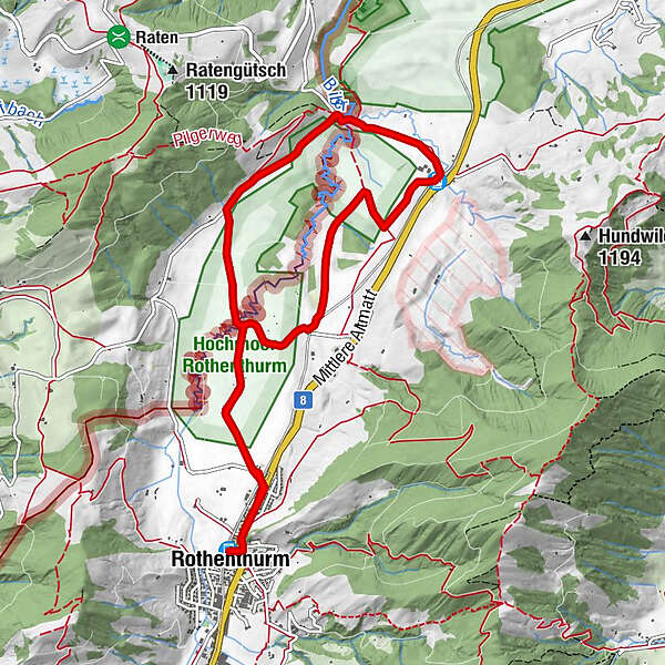
Rothenthurm (923 m)1. Altmatt0,6 kmAltmatt (920 m)4,8 km3. Altmatt4,8 kmSteinstoss-Stubli6,6 km1. Altmatt9,3 kmRothenthurm (923 m)10,1 km
- Meilleure saison
-
janv.févr.marsavrilmaijuinjuil.aoûtsept.oct.nov.déc.
- Hauteur maximale
- 925 m
- Point de mire
-
Railwaystation Rothenthurm
- Profil en hauteur
-
 © outdooractive.com
- Auteur
-
La randonnée WanderWunder Schwyz: Round Hike Moorland Rothenthurm est utilisé par outdooractive.com fourni par.
GPS Downloads


Informations générales
Point de rassemblement
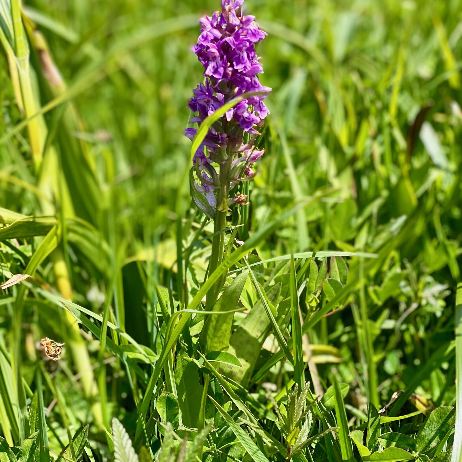
Flore
Autres parcours dans les régions
-
Schwyz
1747
-
Erlebnisregion Mythen
872
-
Rothenthurm
311