© Ferienregion Andermatt - Andermatt-Urserntal Tourismus GmbH
© Ferienregion Andermatt - Christian Perret
© Ferienregion Andermatt - Christian Perret
© Ferienregion Andermatt - Christian Perret

© Ferienregion Andermatt - Andermatt-Urserntal Tourismus GmbH

© Ferienregion Andermatt - Andermatt-Urserntal Tourismus GmbH

© Ferienregion Andermatt - Andermatt-Urserntal Tourismus GmbH

- Brève description
-
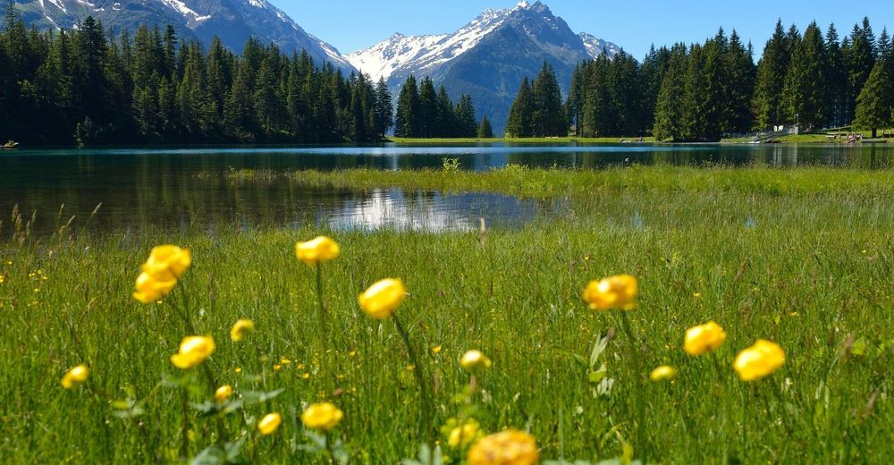
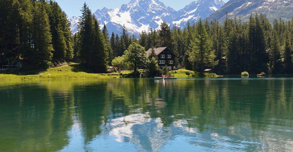
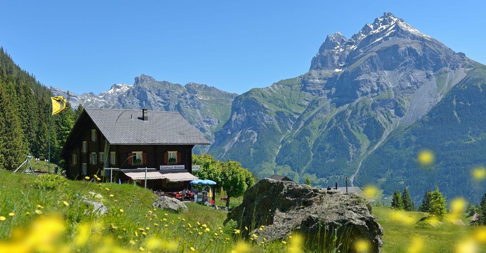
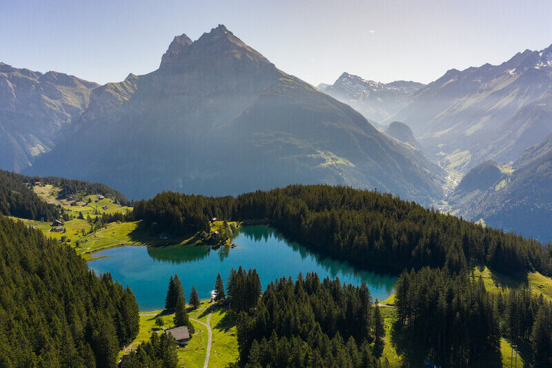
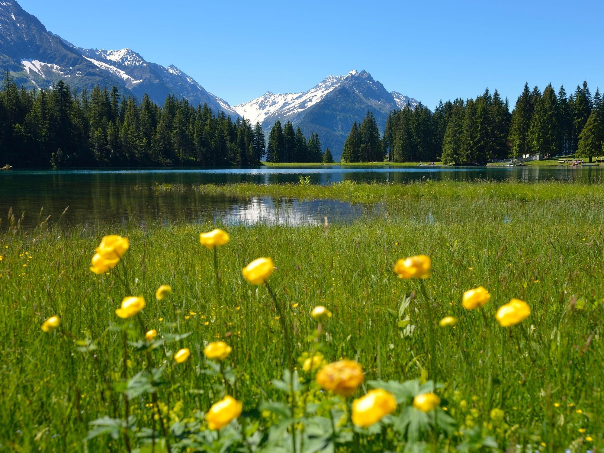
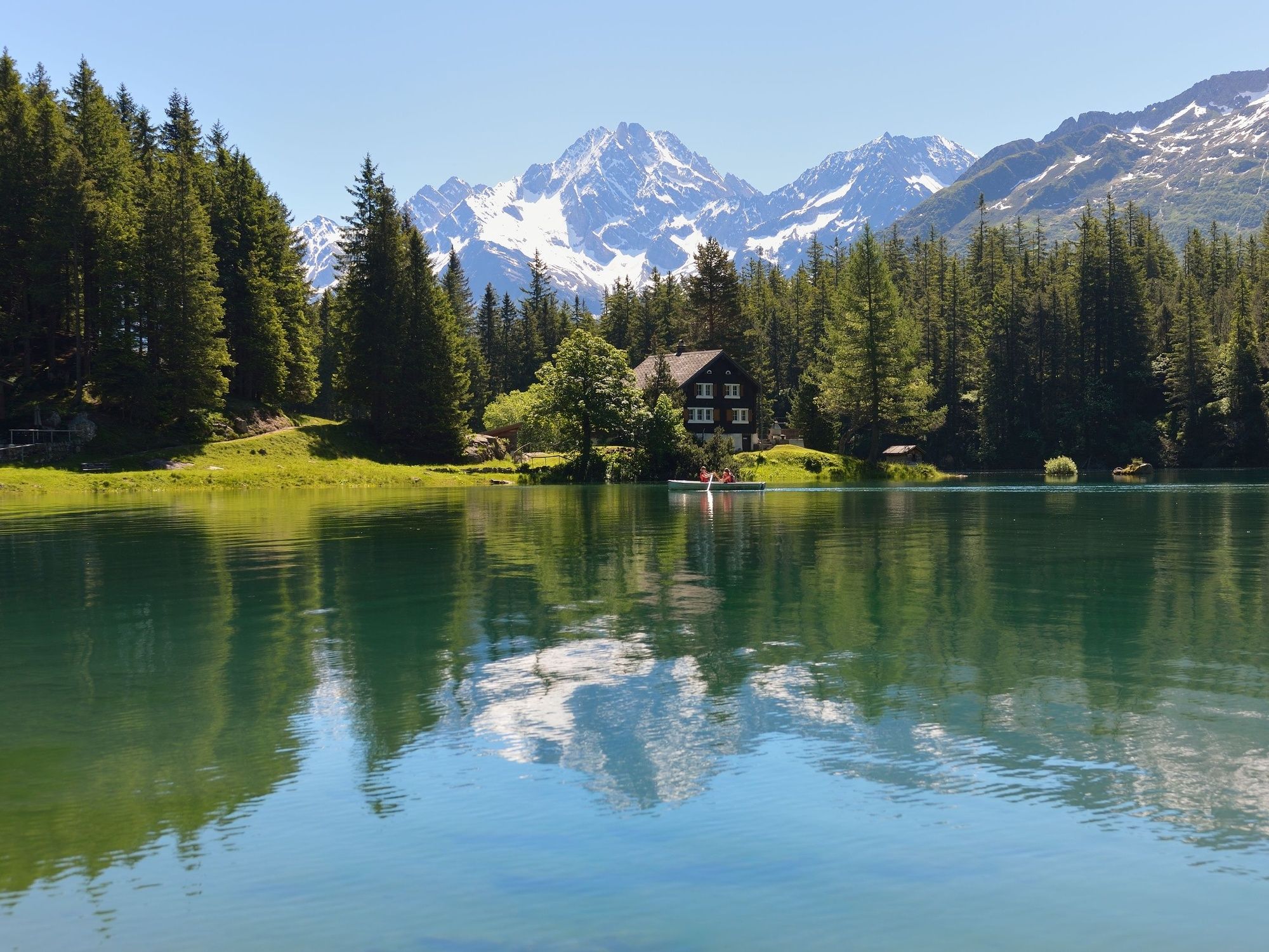
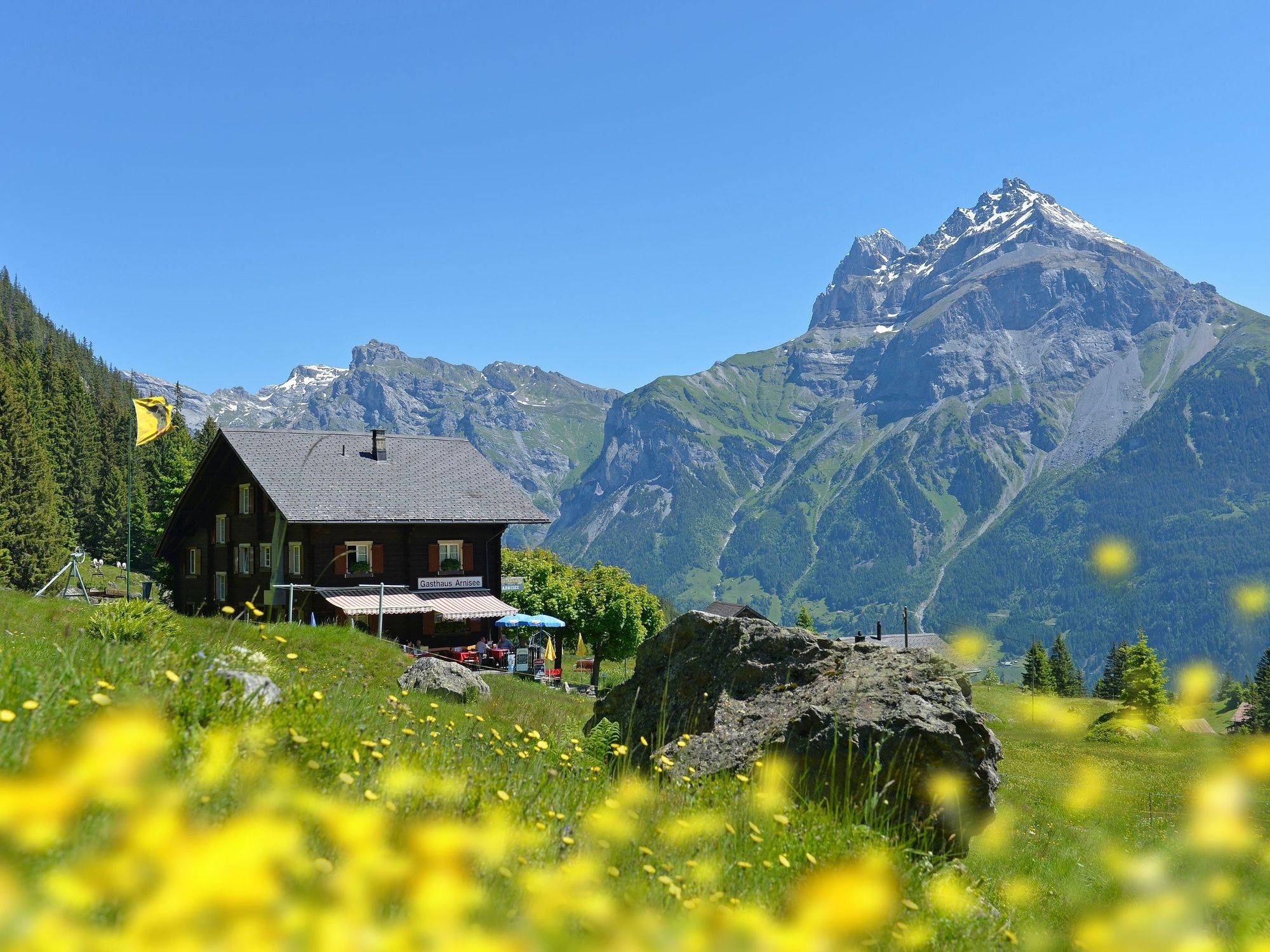
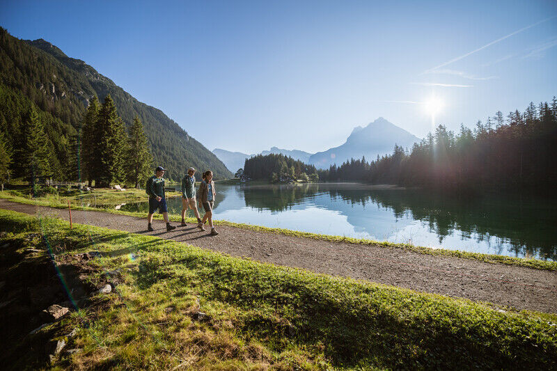
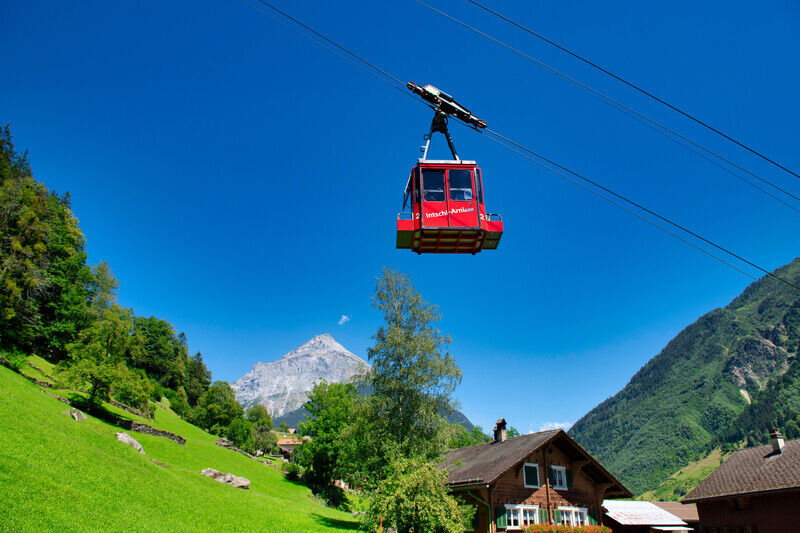
The Intschi-Arnisee and Amsteg-Arnisee cable cars will transport hikers and nature lovers into a beautiful Alpine world at 1,368 m in a matter of minutes. The magnificent views into the Maderan valley with the Bristenstock and the upper Reuss valley will overwhelm young and old.
- Difficulté
-
facile
- Évaluation
-
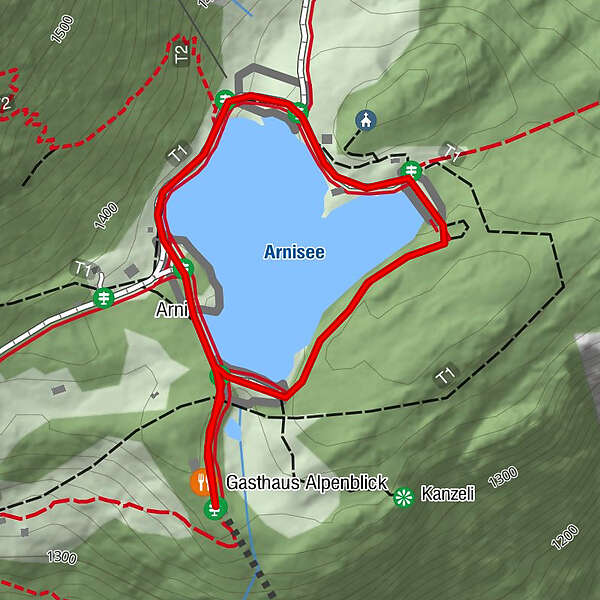
- Parcours
-
Arni0,2 kmBerggasthaus Alpenblick1,3 km
- Meilleure saison
-
janv.févr.marsavrilmaijuinjuil.aoûtsept.oct.nov.déc.
- Hauteur maximale
- 1.377 m
- Point de mire
-
Seilbahn Arnisee
- Profil en hauteur
-
 © outdooractive.com

- Auteur
-
La randonnée Arnisee Circular Trail est utilisé par outdooractive.com fourni par.
GPS Downloads


Informations générales
Point de rassemblement
Flore
Prometteur
Autres parcours dans les régions
-
Uri
1548
-
Urner Unterland
864
-
Silenen – Amsteg – Bristen
133