- Difficulté
-
difficile
- Évaluation
-
- Parcours
-
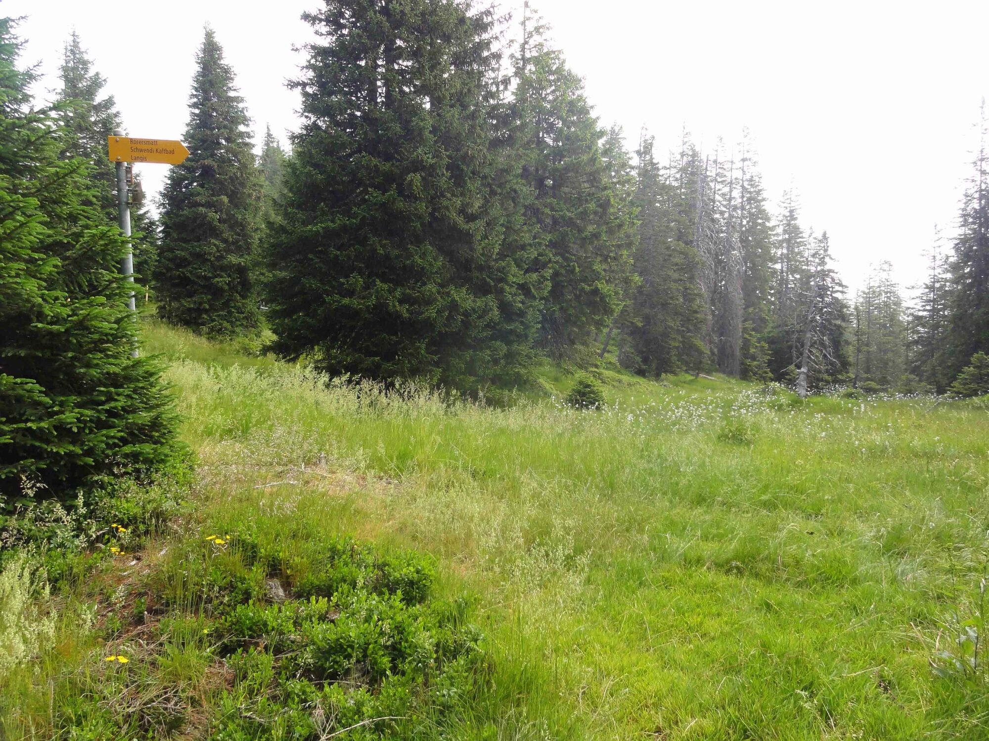
Oberhaupt (2.106 m)0,0 kmPilatus Kulm0,1 kmEsel (2.118 m)0,3 kmÄlggäu12,8 kmChrüzliegg (1.547 m)14,0 kmSchrotenegg (1.612 m)14,7 kmBärnerstig (1.648 m)20,3 kmBergrestaurant Schwendi-Kaltbad21,6 kmSchwendi Kaltbad21,6 kmBerghotel Langis22,3 kmLangis (1.442 m)22,4 km
- Meilleure saison
-
janv.févr.marsavrilmaijuinjuil.aoûtsept.oct.nov.déc.
- Hauteur maximale
- 2.063 m
- Profil en hauteur
-
 © outdooractive.com


-

-
AuteurLa randonnée Obwaldner Höhenweg: Etappe 1 est utilisé par outdooractive.com fourni par.
GPS Downloads


Autres parcours dans les régions
-
Obwalden
2039
-
UNESCO Biosphäre Entlebuch
641
-
Schwarzenberg
146