© Ferienregion Andermatt - Andermatt-Urserntal Tourismus GmbH

© Ferienregion Andermatt - Andermatt-Urserntal Tourismus GmbH

© Ferienregion Andermatt - Andermatt-Urserntal Tourismus GmbH

© Ferienregion Andermatt - Andermatt-Urserntal Tourismus GmbH

© Ferienregion Andermatt - Andermatt-Urserntal Tourismus GmbH

© Ferienregion Andermatt - Andermatt-Urserntal Tourismus GmbH

© Ferienregion Andermatt - Andermatt-Urserntal Tourismus GmbH

- Brève description
-
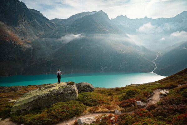
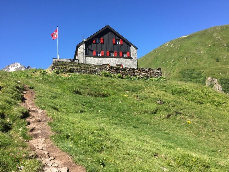
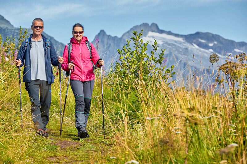
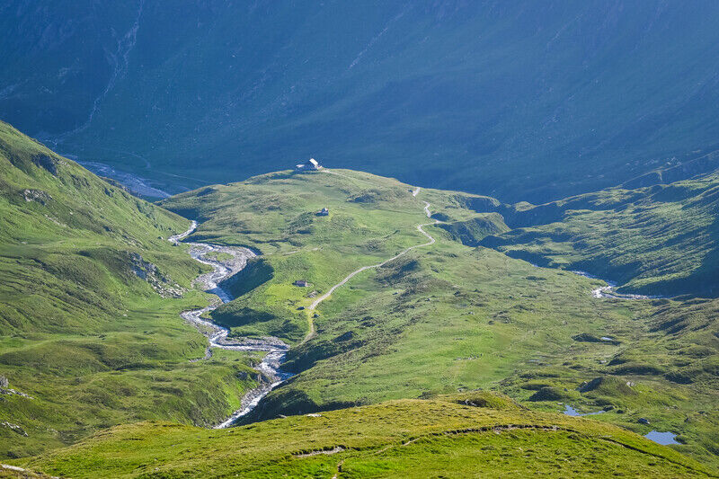
Die Vermigelhütte ist durch einen einfachen, gut ausgebauten und sehr idyllischen Weg durchs Unteralptal erreichbar.
- Difficulté
-
moyen
- Évaluation
-
- Parcours
-
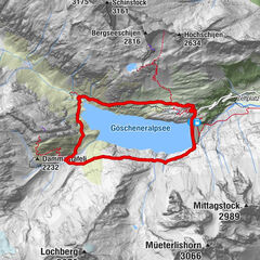
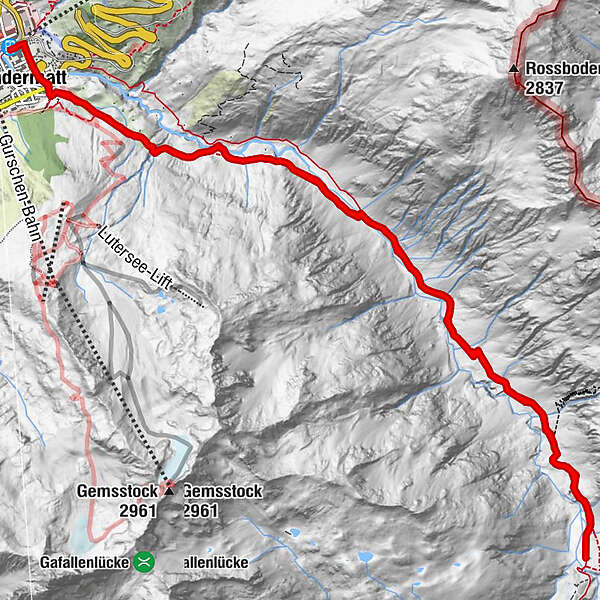
Andermatt (1.436 m)0,0 kmAndermatt (1.447 m)0,5 kmMariahilfkapelle0,7 kmMariahilfkapelle15,5 kmAndermatt (1.447 m)15,8 kmAndermatt (1.436 m)16,2 km
- Meilleure saison
-
janv.févr.marsavrilmaijuinjuil.aoûtsept.oct.nov.déc.
- Hauteur maximale
- 1.972 m
- Point de mire
-
Bahnhof Andermatt
- Profil en hauteur
-
 © outdooractive.com

- Auteur
-
La randonnée Vermigelhütte SAC est utilisé par outdooractive.com fourni par.
GPS Downloads


Informations générales
Point de rassemblement
Flore
Prometteur