© Wiege der Schweiz - Stefan Zürrer

© Wiege der Schweiz - Stefan Zürrer

© Wiege der Schweiz - Stefan Zürrer

© Wiege der Schweiz - Stefan Zürrer

© Wiege der Schweiz

© Wiege der Schweiz

- Brève description
-
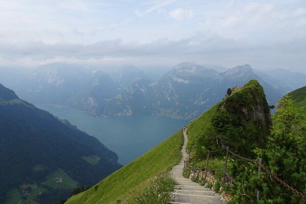
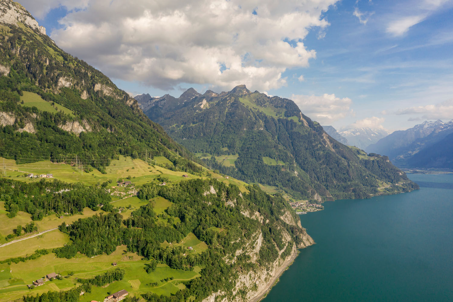
Steady climb through forest and open meadows to Morschach scenic plateau. The Rütli can be seen across the lake. Partly along former rack railway route to Axenstein-Känzeli with views to Mt Pilatus. Gentle descent through Ingenbohlerwald.
- Difficulté
-
moyen
- Évaluation
-
- Parcours
-
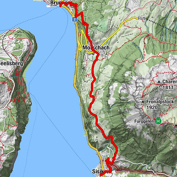
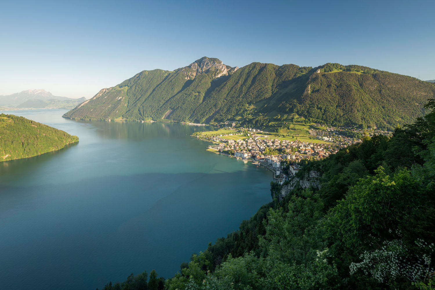
Sisikon (453 m)Hotel Restaurant Eden0,1 kmRistorante Pizzeria Laterne0,1 kmRied1,2 kmBinzenegg1,4 kmKapelle Franz-Xaverius4,5 kmMorschach5,3 kmAxenstein6,0 kmChänzeli7,1 kmNothelferkapelle8,1 kmBundeskapelle8,2 kmBrunnen8,2 kmLandungssteg SGV Brunnen8,3 km
- Meilleure saison
-
janv.févr.marsavrilmaijuinjuil.aoûtsept.oct.nov.déc.
- Hauteur maximale
- 820 m
- Point de mire
-
Brunnen
- Profil en hauteur
-
 © outdooractive.com

- Auteur
-
La randonnée The Swiss Path – Section 4: Sisikon - Brunnen est utilisé par outdooractive.com fourni par.
GPS Downloads


Informations générales
Point de rassemblement
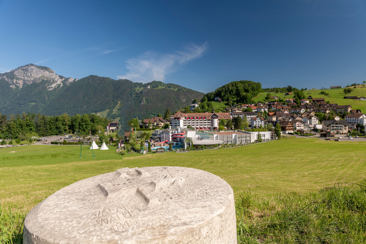
Culturel/Historiquement
Prometteur
Autres parcours dans les régions
-
Schwyz
1748
-
Mythenregion
899
-
Morschach
427