
- Brève description
-
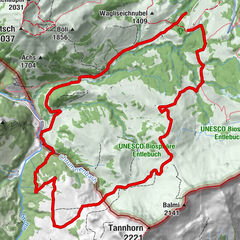
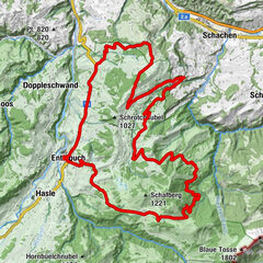
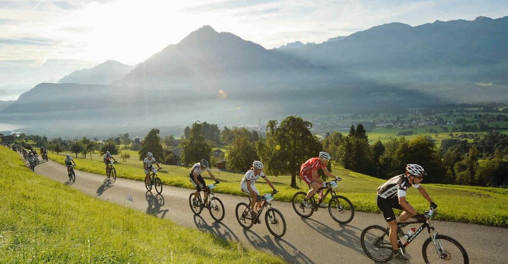
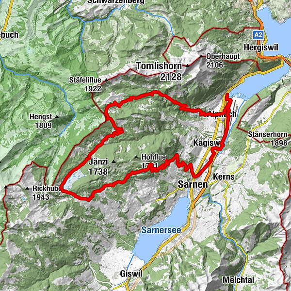
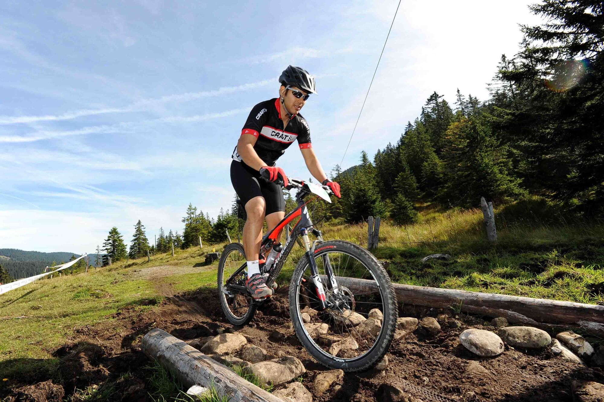
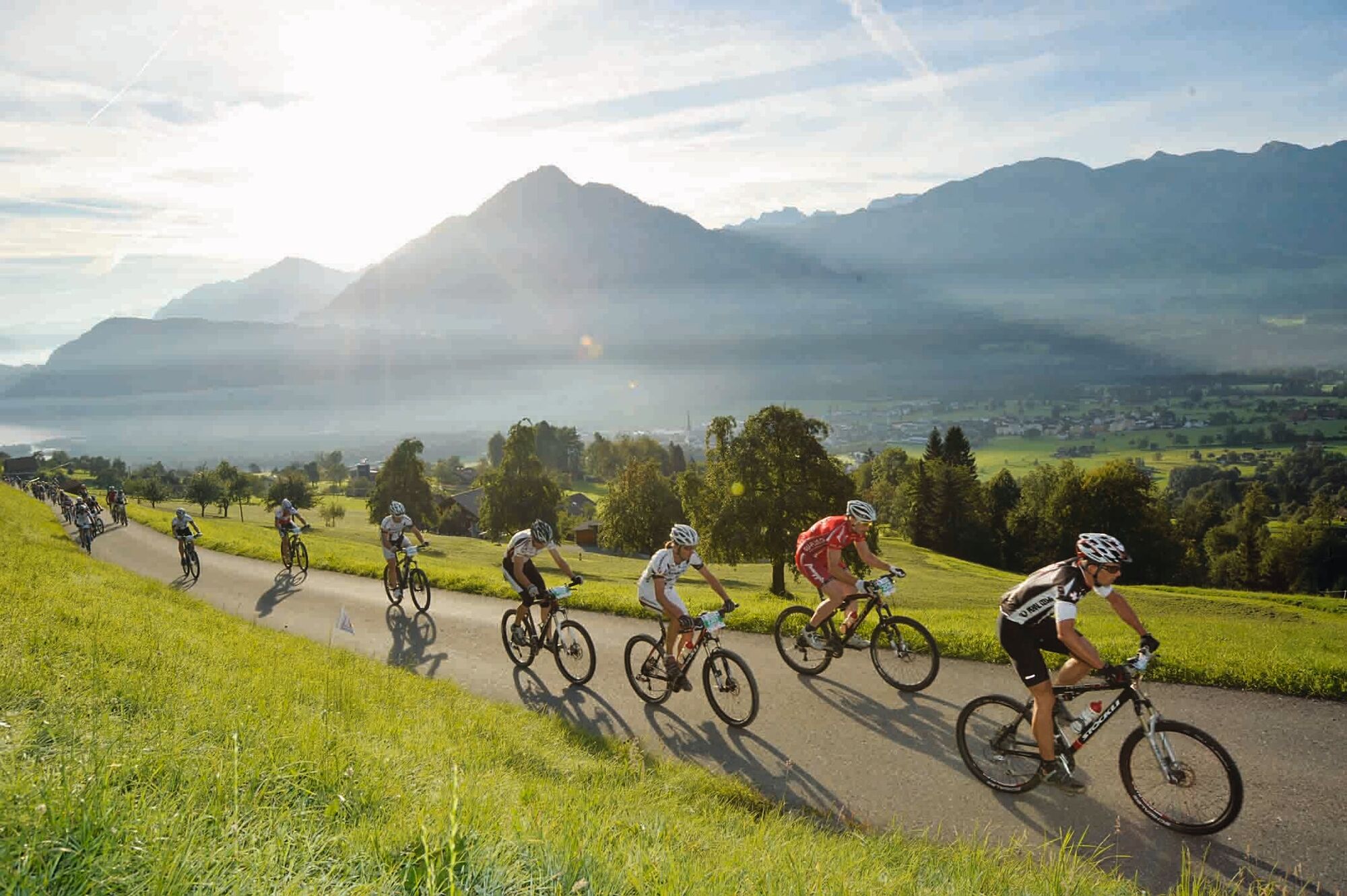
This challenging yet idyllic tour leads along the Sarneraa into the largest moorland landscape in Switzerland. A discovery MTB tour through the uniquely diverse Obwalden landscape with challenging single trails.
- Difficulté
-
moyen
- Évaluation
-
- Parcours
-
Alpnach (542 m)2,0 kmKägiswil5,4 kmAhorni5,6 kmSonnenhof6,5 kmSonnenhof7,6 kmSarnen (471 m)8,3 kmSchälf14,9 kmLangis (1.442 m)24,6 kmAndresenhütte26,0 kmInfo-Tafel Rate-Bär26,2 kmBaumschule26,4 kmInfo-Tafel Der grosse Bär26,7 kmLochalp30,0 kmSchrotenegg (1.612 m)34,3 kmChrüzliegg (1.547 m)35,1 kmLütholdsmatt40,9 kmMeisi45,8 kmAlpnach (542 m)47,0 km
- Meilleure saison
-
janv.févr.marsavrilmaijuinjuil.aoûtsept.oct.nov.déc.
- Hauteur maximale
- 1.613 m
- Profil en hauteur
-
 © outdooractive.com
-

-
AuteurLa randonnée o-tour Bike West est utilisé par outdooractive.com fourni par.
GPS Downloads


Autres parcours dans les régions