© Ferien- und Ausflugsregion Schwyz - Schwyz Tourismus

© Ferien- und Ausflugsregion Schwyz - Schwyz Tourismus

© Ferien- und Ausflugsregion Schwyz - Schwyz Tourismus

© Ferien- und Ausflugsregion Schwyz - Schwyz Tourismus

© Ferien- und Ausflugsregion Schwyz - Schwyz Tourismus

© Ferien- und Ausflugsregion Schwyz - Schwyz Tourismus

© Ferien- und Ausflugsregion Schwyz - Schwyz Tourismus

- Brève description
-
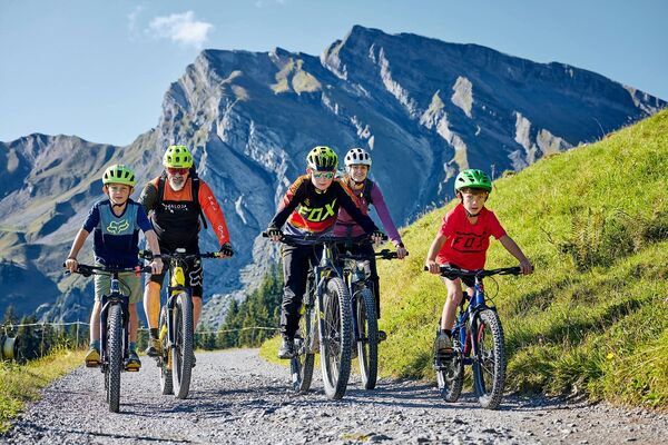
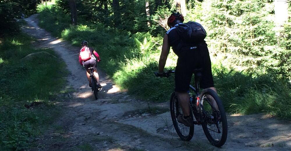
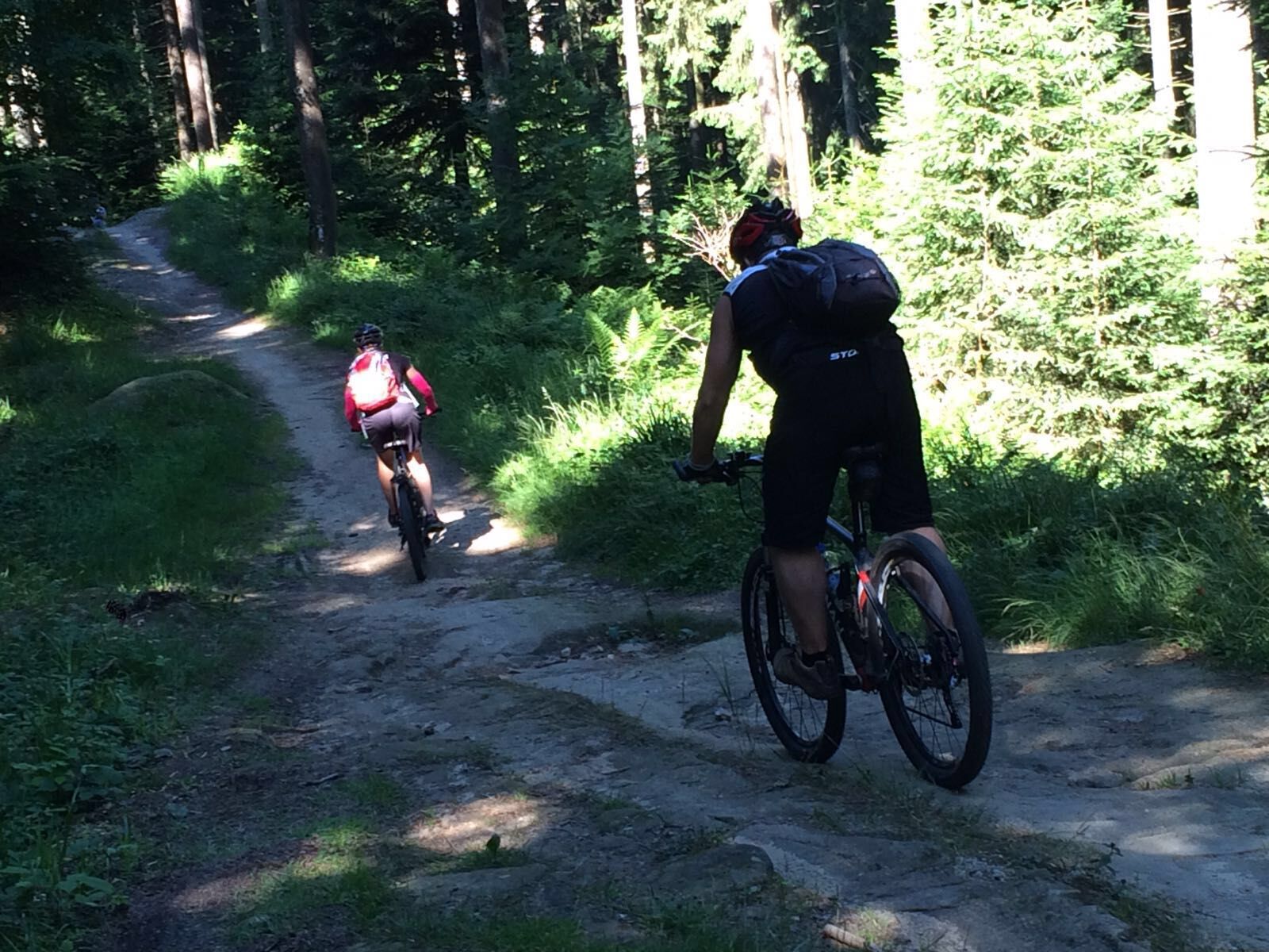
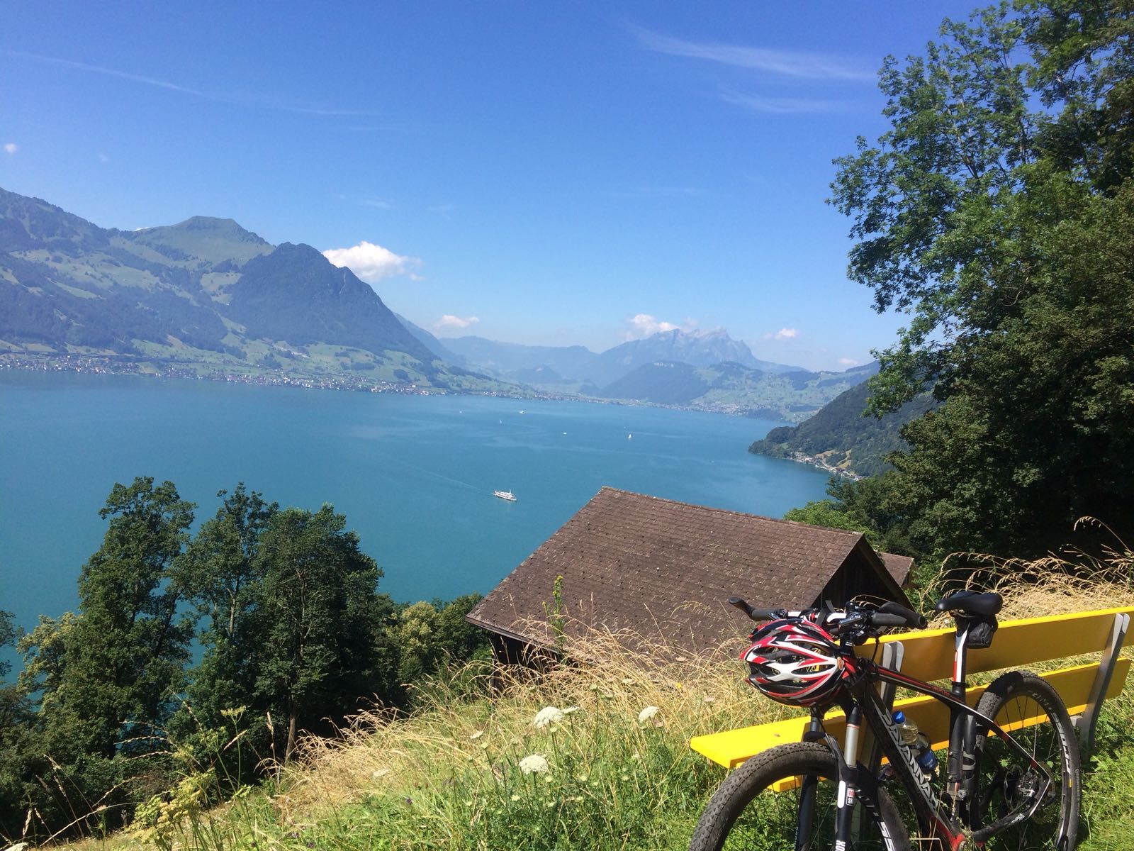
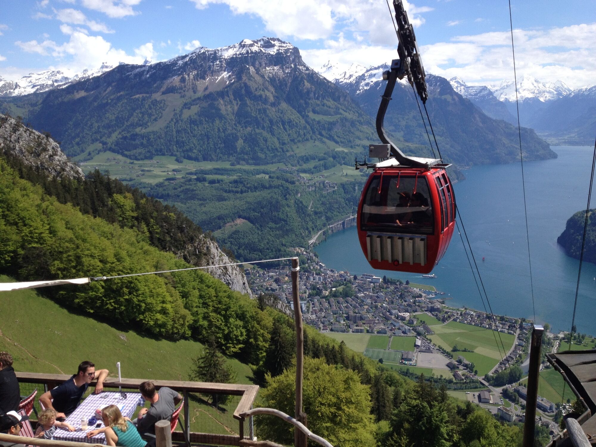
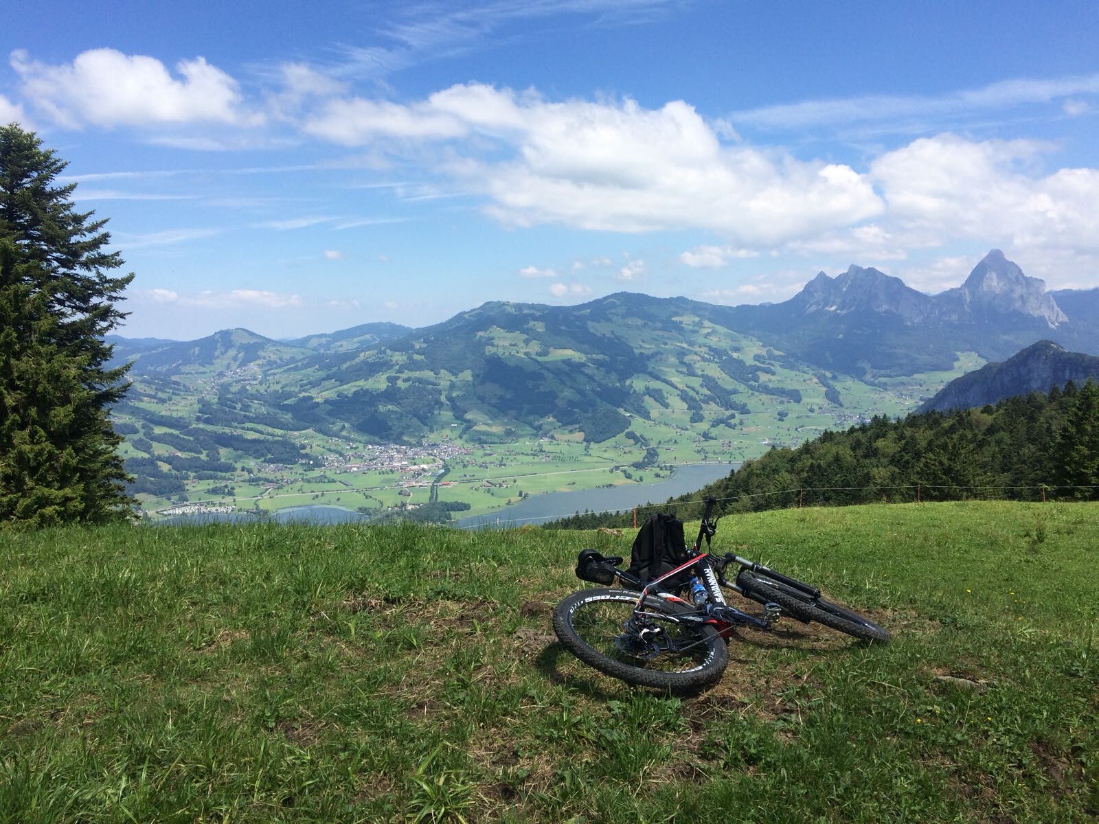
The routes on the Rigi massif offer some of the best mountain biking in Central Switzerland. The fabulous views in all directions are a joy for the eye and balm for the soul.
- Difficulté
-
moyen
- Évaluation
-
- Parcours
-
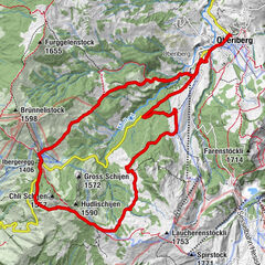
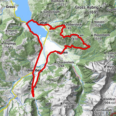
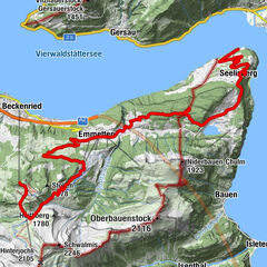
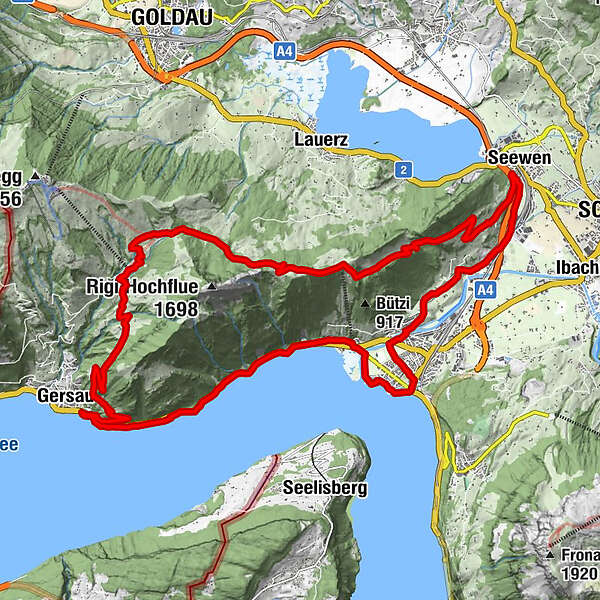
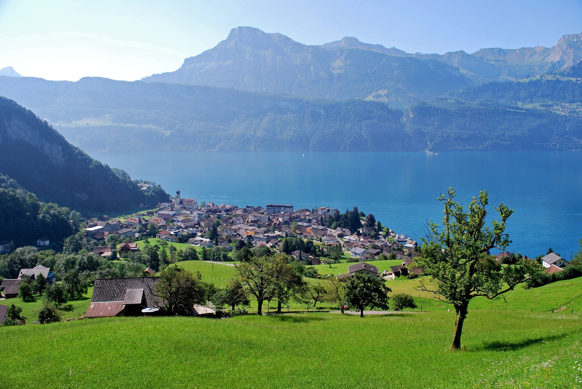
BundeskapelleBrunnenLandungssteg SGV Brunnen0,0 kmBrunnen (440 m)1,7 kmBrunnen SZ2,7 kmEichwald3,6 kmBrünischart3,6 kmLangmatt4,3 kmKapelle Mariahilf5,5 kmGersau7,3 kmOber Gschwend (1.012 m)13,0 kmZum Gätterlipass14,7 kmSchwand18,2 kmSeewen (455 m)23,7 kmSchwytz (516 m)24,1 kmAlpenrösli25,9 kmWylen27,2 kmLaurentius-Kapelle Wylen27,3 kmHerrenmatt27,5 kmSchwärteren27,7 kmRubisacher28,2 kmBrunnen29,1 kmBundeskapelle29,2 km
- Meilleure saison
-
janv.févr.marsavrilmaijuinjuil.aoûtsept.oct.nov.déc.
- Hauteur maximale
- 1.327 m
- Point de mire
-
Brunnen
- Profil en hauteur
-
 © outdooractive.com
-

-
AuteurLa randonnée Rigi Tour - SwitzerlandMobility Route 963 est utilisé par outdooractive.com fourni par.
GPS Downloads


Informations générales
Point de rassemblement
Flore
Prometteur
Autres parcours dans les régions
-
Schwyz
196
-
Erlebnisregion Mythen
97
-
Lauerz
34