


- Brève description
-
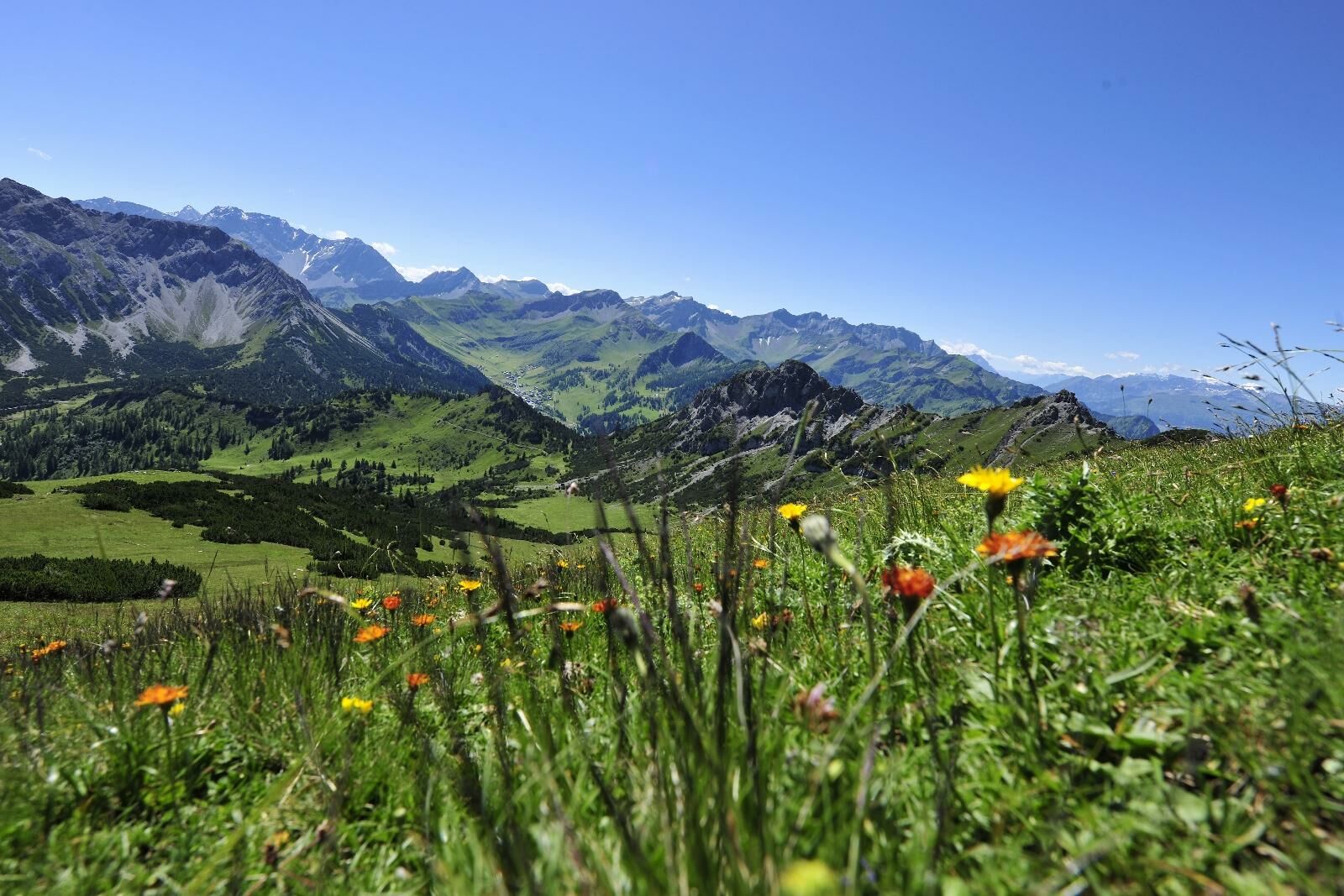
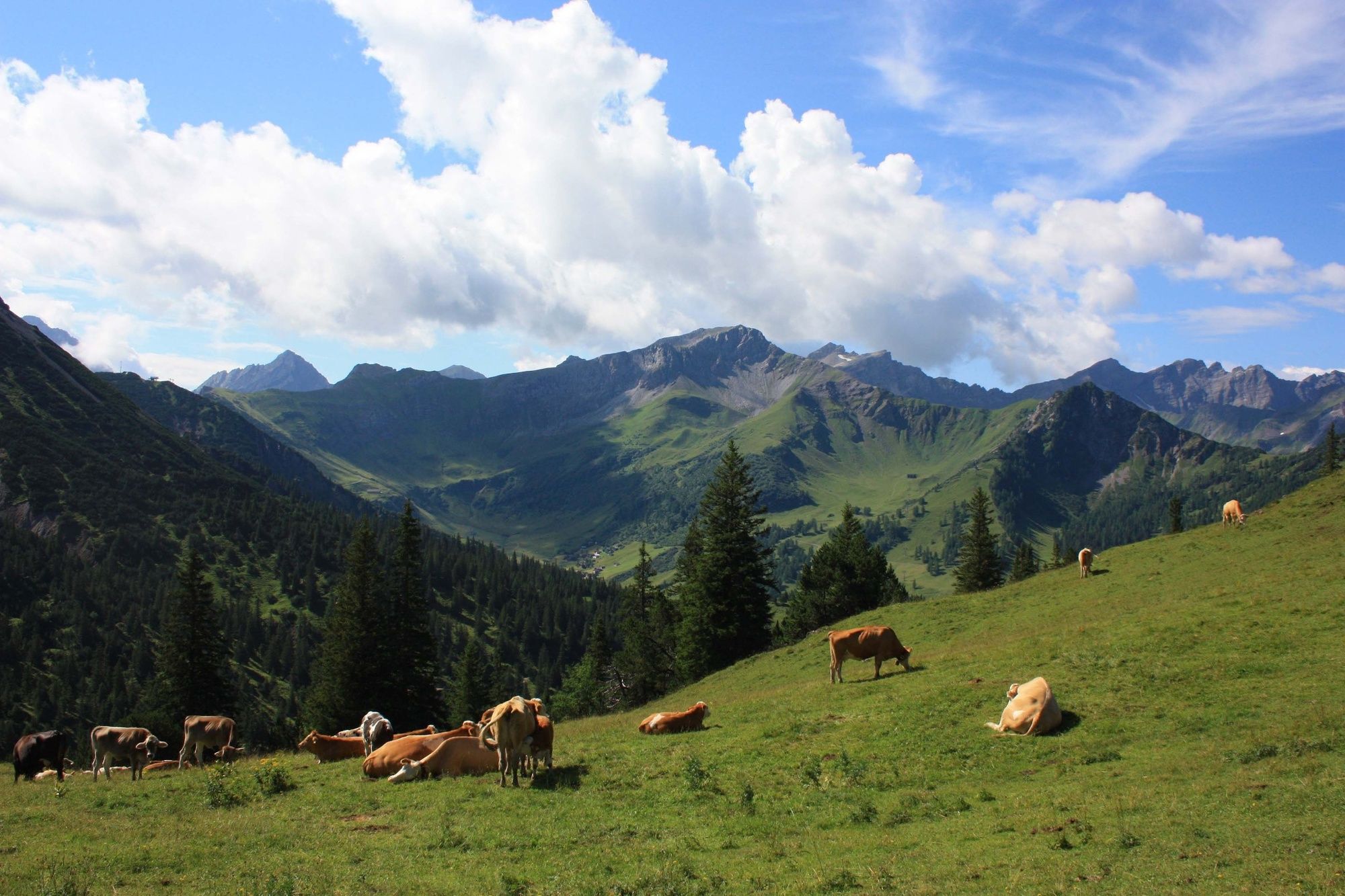
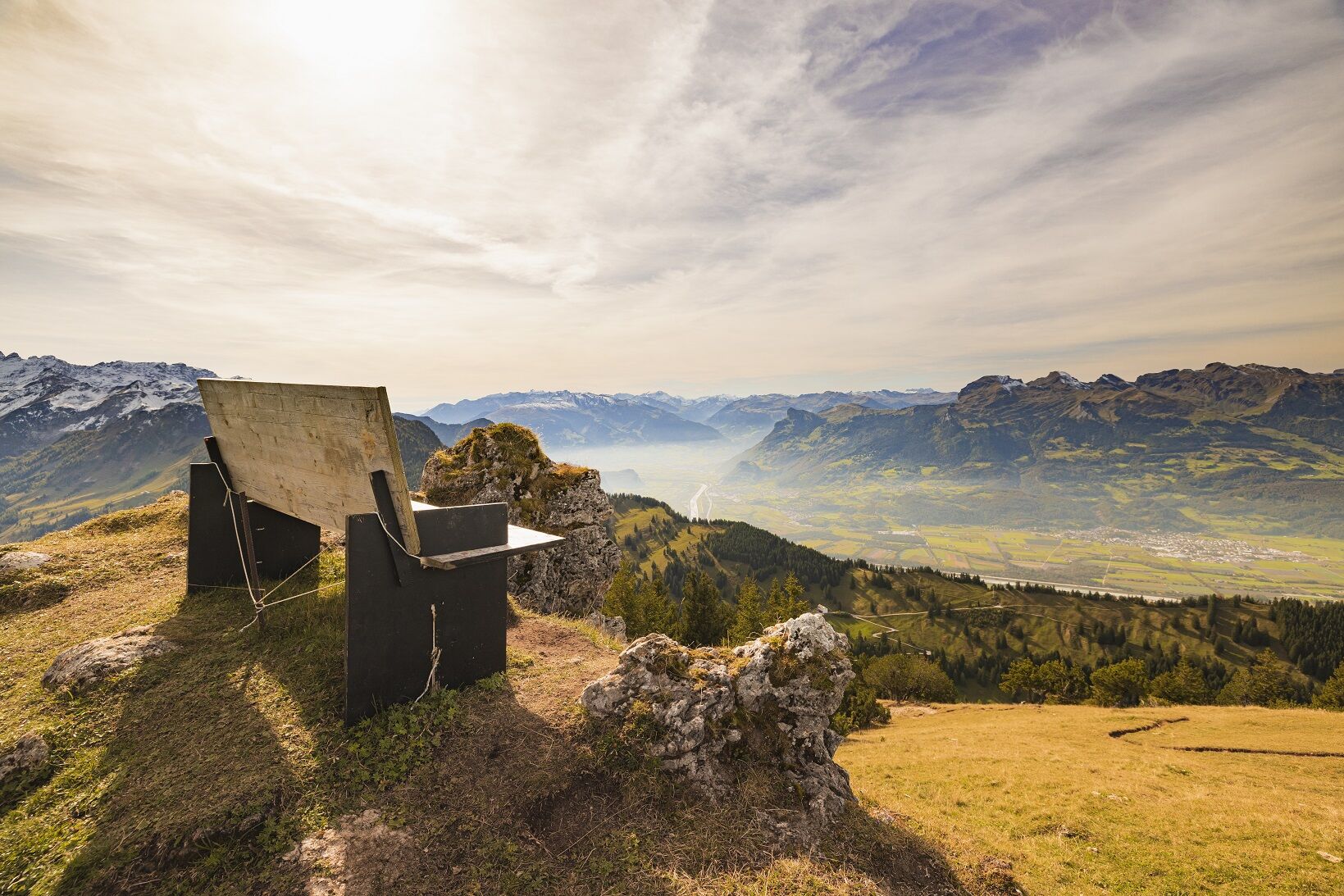
«One of the most beautiful, easiest high altitude hikes of the Rätikon, specially recommended in June and the beginning of July (flowering season)» (W. Flaig). The superb location amidst the Liechtenstein Alps, the breathtaking views of the surrounding mountains and the easy ascent turn the Schönberg mountain into a popular hiking destination.
- Difficulté
-
moyen
- Évaluation
-
- Parcours
-
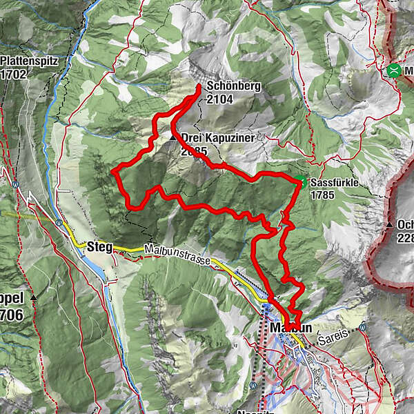
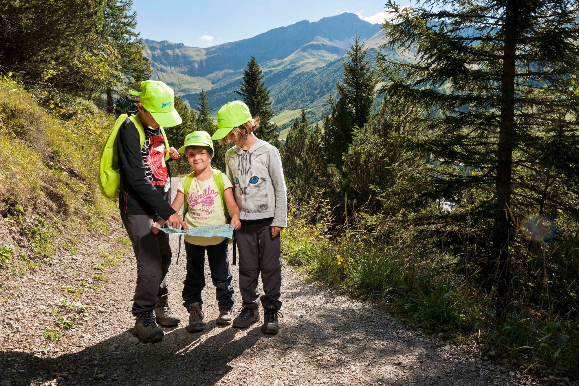
Malbun0,1 kmSassfürkle (1.785 m)2,8 kmDrei Kapuziner (2.085 m)4,9 kmSchönberg (2.104 m)5,7 kmMalbun12,4 km
- Meilleure saison
-
janv.févr.marsavrilmaijuinjuil.aoûtsept.oct.nov.déc.
- Hauteur maximale
- 2.091 m
- Point de mire
-
Malbun
- Profil en hauteur
-
 © outdooractive.com

-

-
AuteurLa randonnée From Malbun to Schönberg mountain est utilisé par outdooractive.com fourni par.
GPS Downloads


Informations générales
Flore
Prometteur
Autres parcours dans les régions
-
Heidiland
2208
-
Liechtenstein
1290
-
Malbun
310


