


Winter Walking Route to the top of Sallatunturi fell, Salla


An approximately 2 km walking route taking hikers up to the wintery scenic areas at the top of the Ski Resort. The route starts from the lower station of the black EP slope and loops clockwise around the...
An approximately 2 km walking route taking hikers up to the wintery scenic areas at the top of the Ski Resort. The route starts from the lower station of the black EP slope and loops clockwise around the base of the fell all the way to the northern slopes, where the ascent to the summit begins through the scenery of the crown snow-load trees. On the EP slope, walk up the left edge until you turn left onto the road, the point on the slope is marked with a reflector stick. Walk upwards until you come to Pohjoisrinne (Northern Slope), where you walk along the right side up to the lift line to the top of the fell.
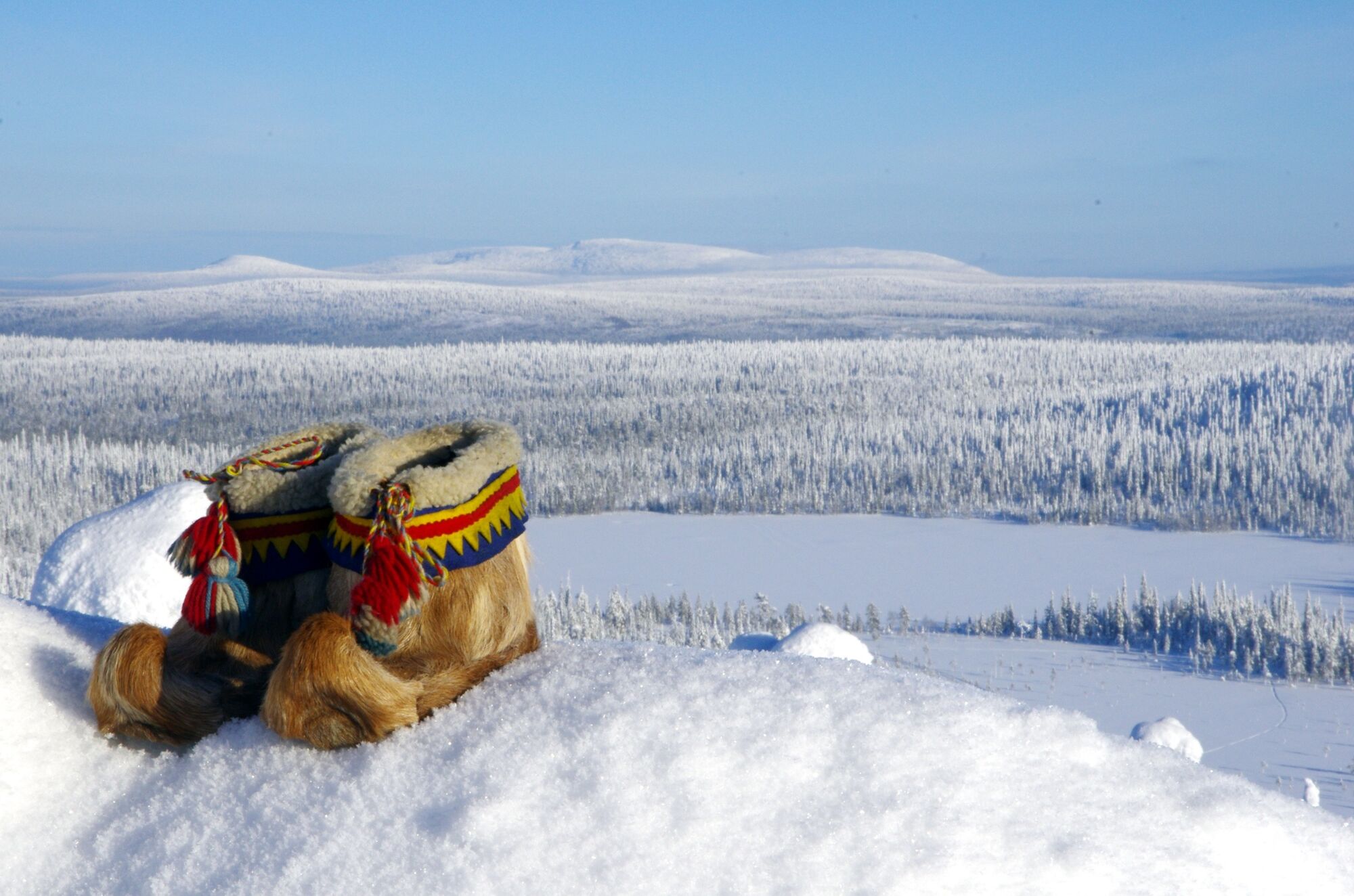
The atmospheric traditional Lappish hut at the top of the fell is perfect for a break and enjoying the great scenery or the starry sky and the Northern Lights. The snow on the route is flattened by snowmobiles and can be walked without snowshoes.


- The route is not lit up. Please note that in winter, the weather conditions can change rapidly and there can be strong winds on the summit of the fell.
- Dress warmly, especially protect your toes, fingers, and head. Have extra gloves and socks with you. Pack something to eat and drink.
- Always keep your phone with you. You can also download maps of Salla’s routes to your phone via the Citynomadi app (maps that are downloaded on your phone in advance will also work in areas where there is no internet connection).
- Download the 112 app on your phone in case of any emergency situations.
The nearest airports are at Kuusamo (1.5 h) and Rovaniemi (2 h). There are shuttle buses connecting Kuusamo Airport and Salla, which link with almost every flight.
The nearest railway station is in Kemijärvi (1 h). There is a bus to Salla, which is timed to connect with the night train, Mon-Sat.
Free parking near the black EP slope.
Schneeschuhe können Sie im Salla Ski Resort mieten.
Parcours populaires à proximité
From the Fell to The Village Centre and Back, Salla
Randonnée8,97 kmParcours UKK dans les environs de Sallatunturi, Salla
Randonnée36,4 kmChemin de l’ämmi, Salla
Randonnée2,62 kmKontiolampi Trail, Salla
Randonnée4,43 kmSallatunturi - centre de Salla, Salla
facileVTT10,0 kmParcours accessible de Keselmäjärvi, Salla
facileRandonnée4,01 kmSallatunturi Reindeer Park and Winter Walking Trail, Salla
Randonnées d'hiver8,20 kmThe Hangasharju Route, Salla
VTT13,4 kmSallatunturi Scenery Route, Salla
VTT5,43 kmÄmminpolku with snowshoes, Salla
Raquettes2,17 km
Randonnée et suivi


Ne manquez pas les offres et l'inspiration pour vos prochaines vacances
Votre adresse électronique a été ajouté à la liste de diffusion.