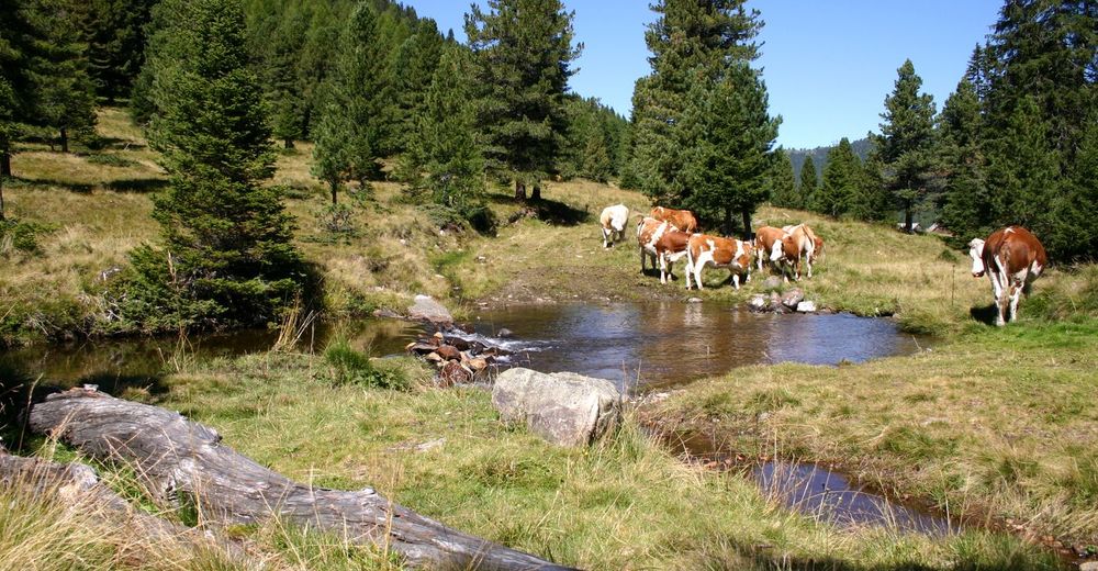
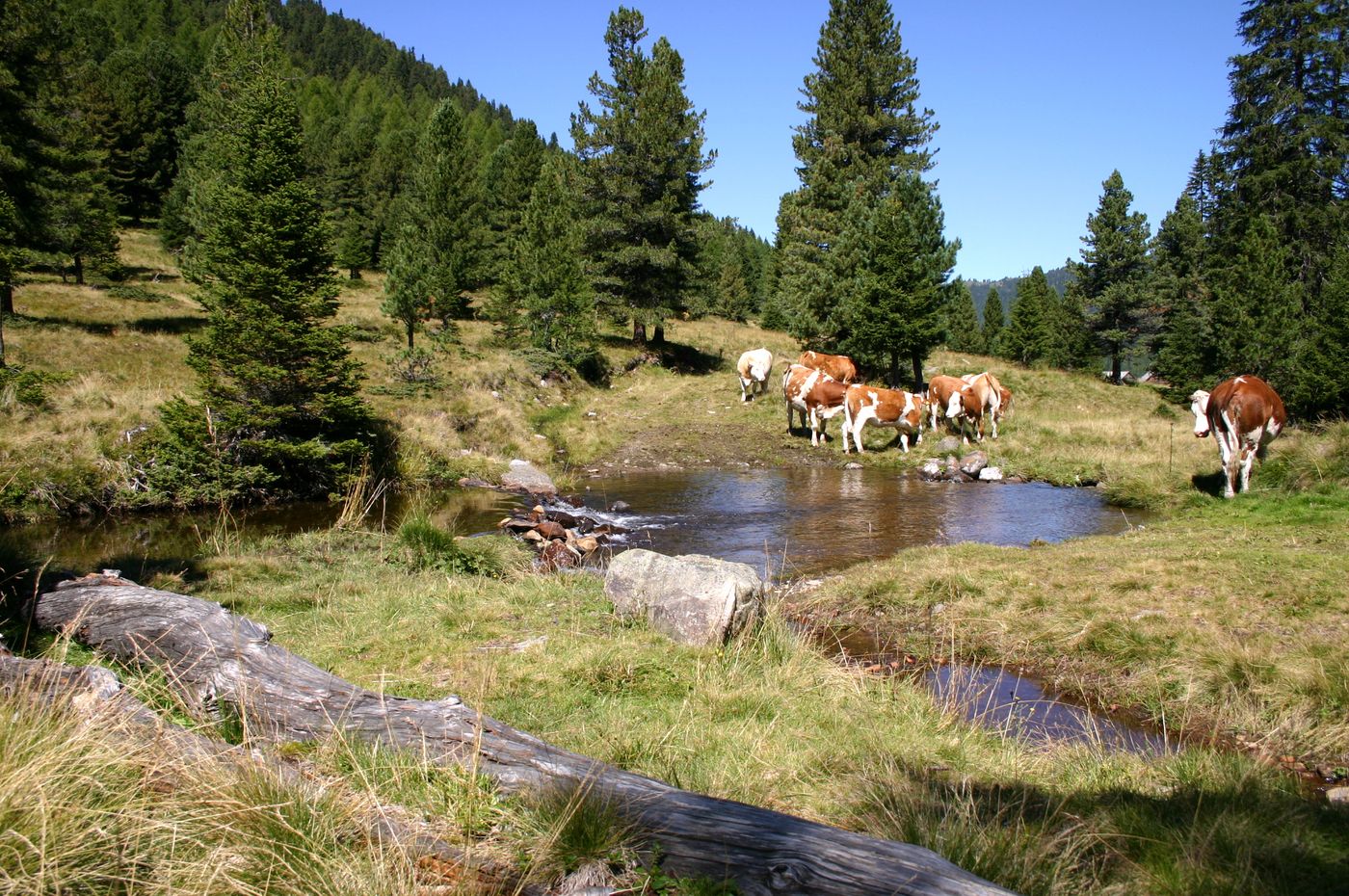
Schönfeld - Schilcher- und Klölingnock im Biosphärenpark Nockberge

Randonnée
© Tourismusverband Lieser-Maltatal
Dates des itinéraires
9,2km
1.740
- 2.241m
578hm
579hm
03:30h
- Brève description
-
Ausgehend von Schönfeld begeben wir uns in eine abwechslungsreiche Gegend der "Nocken".
- Difficulté
-
facile
- Évaluation
-
- Point de départ
-
Liftparkplatz Schönfeld
- Parcours
-
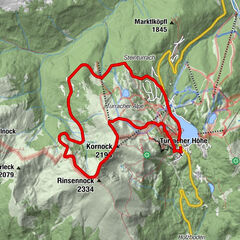
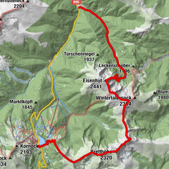
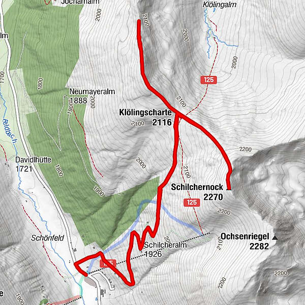
Klölingnock (2.178 m)3,1 kmKlöllingscharte (2.116 m)4,5 kmSchilchernock (2.270 m)5,5 kmSchönfeldsattel (1.741 m)9,1 km
- Meilleure saison
-
janv.févr.marsavrilmaijuinjuil.aoûtsept.oct.nov.déc.
- Hauteur maximale
- 2.241 m
- Cartes
-
Kompass Nr. 66 oder Freitag & Bernd 221
GPS Downloads


Nature du chemin
Asphalte
Gravier
Pelouse
Forêt
Rocher
Exposé
Autres parcours dans les régions