Dates des itinéraires
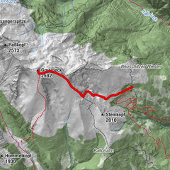
5,93km
1.392
- 2.188m
825hm
825hm
04:00h

- Brève description
-
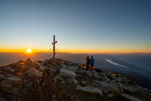
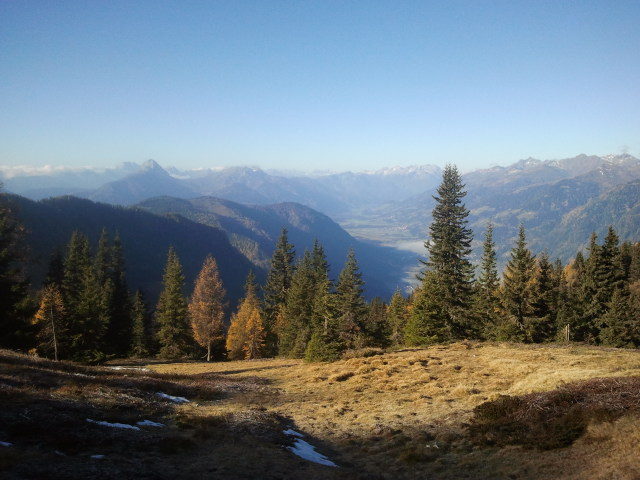
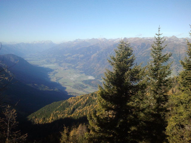
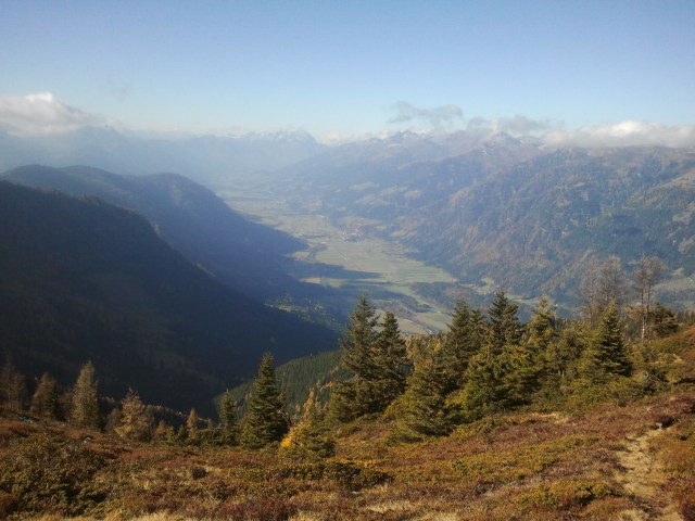
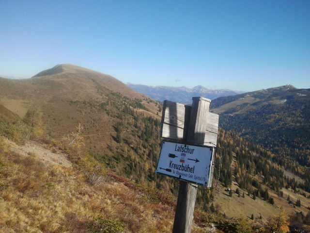
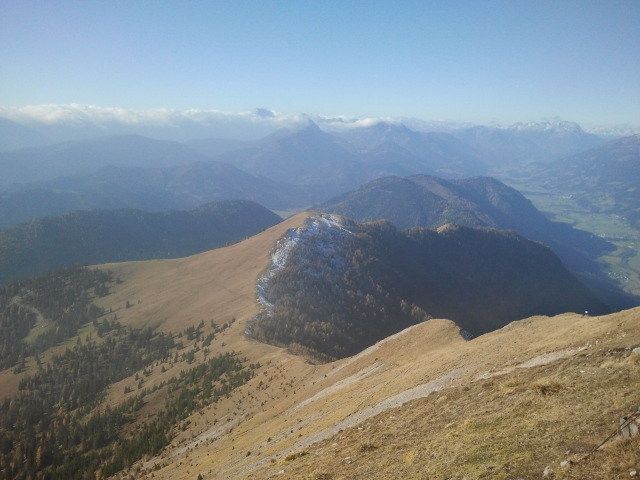
Wanderung auf die Latschur (oder Kreuzbühel dann Kindertauglich) von der Lindner Alm aus.
- Difficulté
-
facile
- Évaluation
-
- Point de départ
-
Lind im Drautal, Oberallach
- Parcours
-
Lindner Alm0,0 kmLatschur (2.236 m)5,9 km
- Meilleure saison
-
janv.févr.marsavrilmaijuinjuil.aoûtsept.oct.nov.déc.
- Hauteur maximale
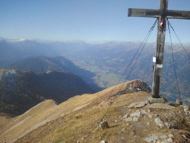
- Latschur (2.188 m)
- Point de mire
-
Latschur
GPS Downloads


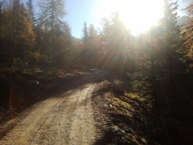
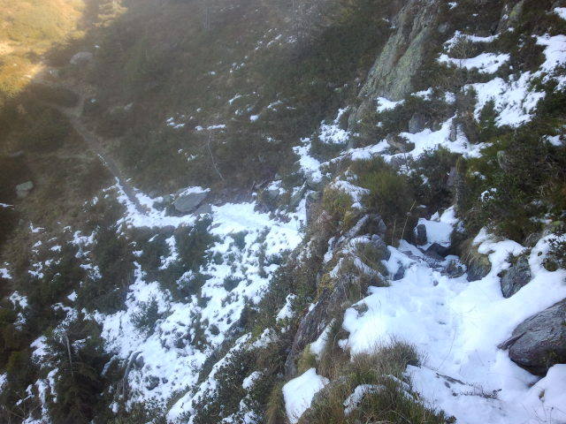
Nature du chemin
Asphalte
Gravier
Pelouse
Forêt
Rocher
Exposé
Autres parcours dans les régions