Pichlhütte - Sommereggerhütte - Pichlhütte

Logo Pichlhütte - Sommereggerhütte - Pichlhütte
Dates des itinéraires
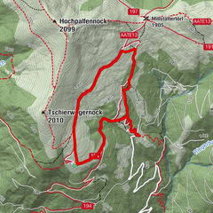
9,31km
1.299 - 1.785m
Distance
493hm
Montée
02:00h
 
Durée
Brève description

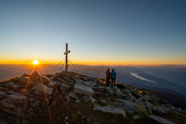
Schöner Rundwanderweg.

Difficulté
facile
Évaluation
Technique
Endurance
Paysage
Résultat
Point de départ

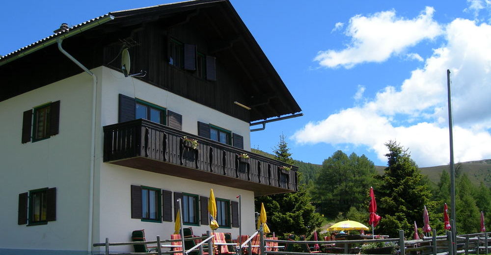
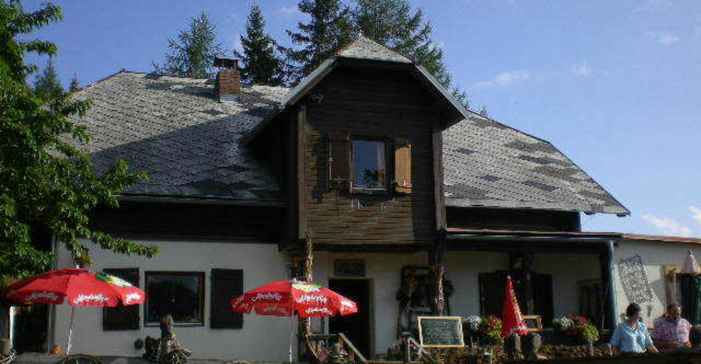
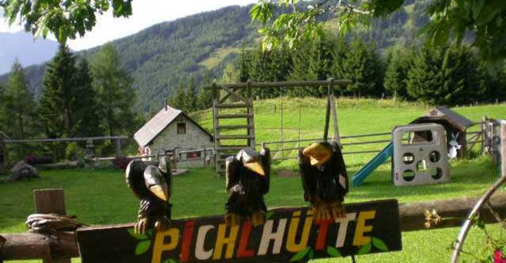
Pichlhütte (Tangern)

Parcours
Pichlhütte
Sommeregger Hütte
3,8 km
Aussichtspunkt Tangerner Alm
8,4 km


Meilleure saison
janv.
févr.
mars
avril
mai
juin
juil.
août
sept.
oct.
nov.
déc.
Hauteur maximale
1.785 m

Repos/Rassembler

Pichlhütte T +43 (676) 72970000 udn +43 (676) 6268590 oder www.pichlhuette.at
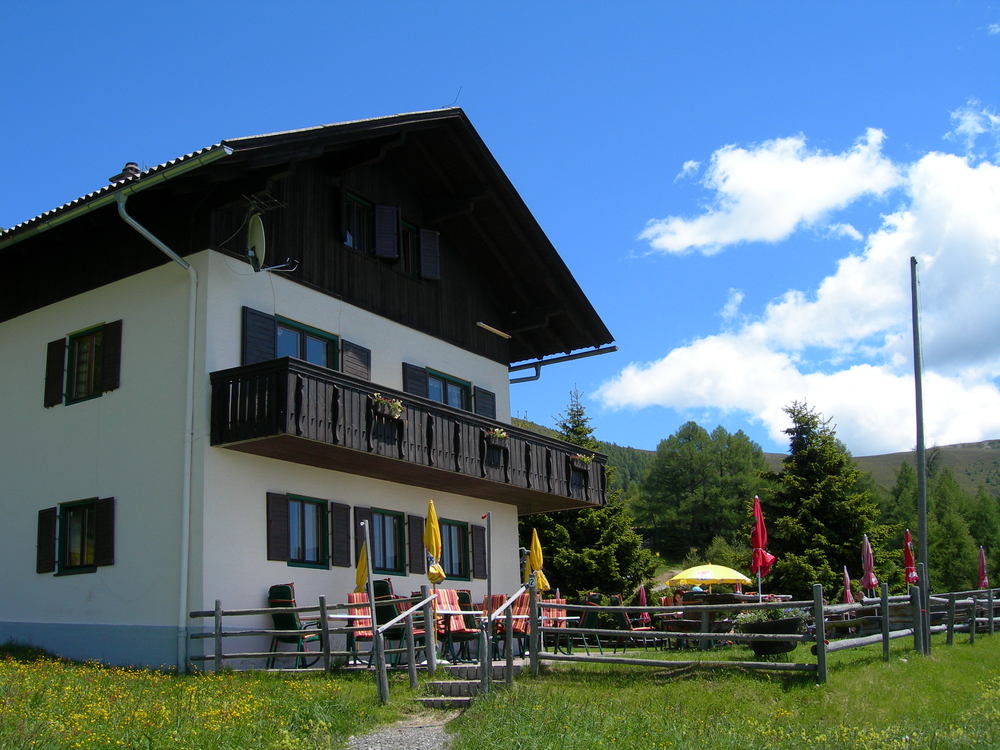
Sommeregger Hütte T +43 (664) 73757695

Cartes

F&B, WKK 221, Liesertal, Maltatal, Millstätter See, Nockalmstrasse


Informations par téléphone

Tourismusbüro Seeboden: +43 4762 81210

Link

3,0
Évaluation globale

5

0

%

4

0

%

3

100

%

2

0

%

1

0

%

GPS Downloads
  • GPX GPS Exchange Format (XML)
  • KML Google Earth, Google Maps
Codes de téléchargement QR pour les téléphones portables

Randonnées populaires dans la région

Mirnock vom Osten

facile Randonnée
8,82km | 627hm | 04:30h

Sonnwiesenrundweg

moyen Randonnée
4,67km | 230hm | 01:40h

Gorge Path, Millstatt

difficile Randonnée
8,58km | 997hm | 05:30h

Bergfriedhütte - Gmeineck

moyen Randonnée
7,41km | 784hm | 03:13h