
- Brève description
-
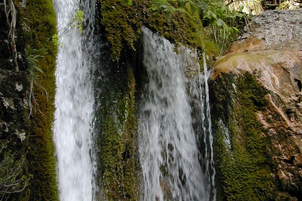
The crown is part of a geopoint. Geopoints are geologically and geomorphologically interesting points or areas in nature. This geopoint is located at the Geotrail Passo Pramollo wet field.
- Difficulté
-
moyen
- Évaluation
-
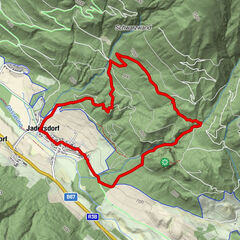
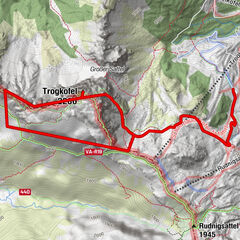
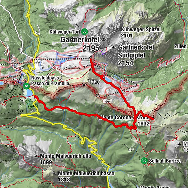
- Parcours
-
Krone (1.832 m)3,0 kmAuernil Quelle6,1 kmAlbergo Ristorante Wulfenia da Livio7,7 kmPasso Pramollo7,7 km
- Meilleure saison
-
janv.févr.marsavrilmaijuinjuil.aoûtsept.oct.nov.déc.
- Hauteur maximale
- 1.864 m
- Point de mire
-
Naßfeldpass
- Profil en hauteur
-


- Auteur
-
La randonnée Geotrail Wanderung - Krone est utilisé par outdooractive.com fourni par.
GPS Downloads


Informations générales
Point de rassemblement
Autres parcours dans les régions