

© Region Villach - Faaker See - Ossiacher See - Hannes Kohlmeier

© Region Villach - Faaker See - Ossiacher See - Franz Gerdl

© Region Villach - Faaker See - Ossiacher See - Region Villach

© Region Villach - Faaker See - Ossiacher See - Region Villach

© Franz Gerdl - Region Villach

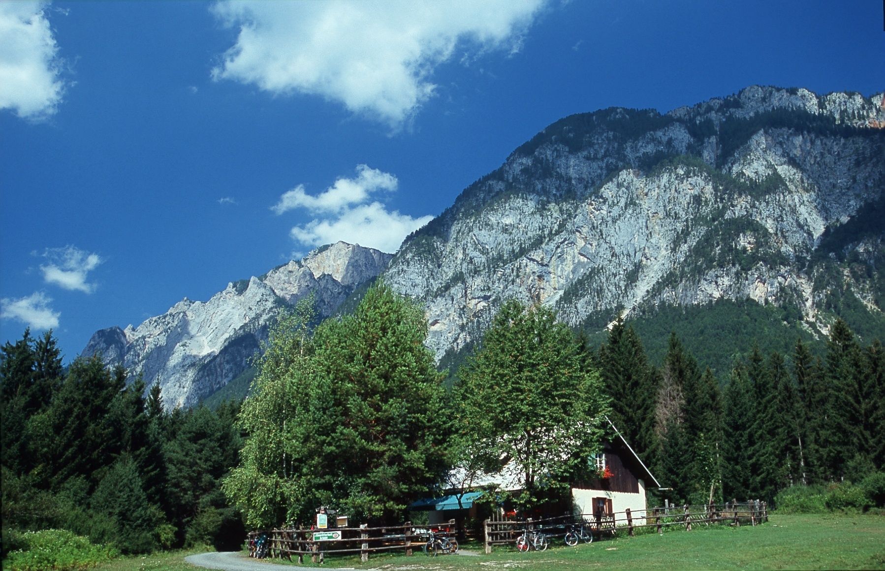
© Almwirtschaft Schütt - Region Villach
Dates des itinéraires
7,68km
517
- 550m
66hm
67hm
02:00h

- Brève description
-
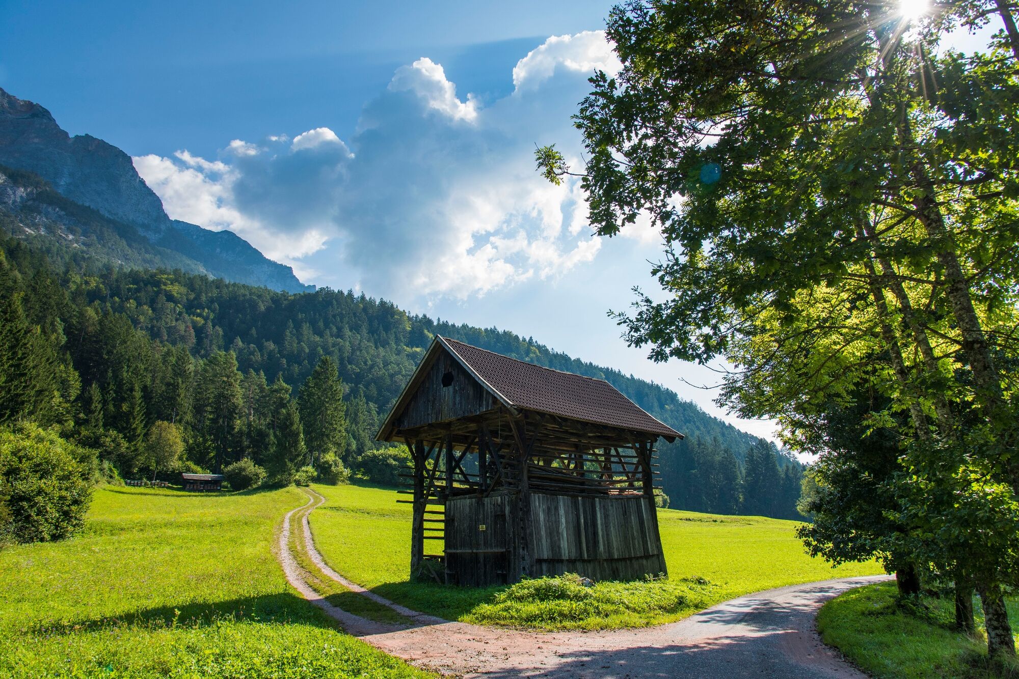
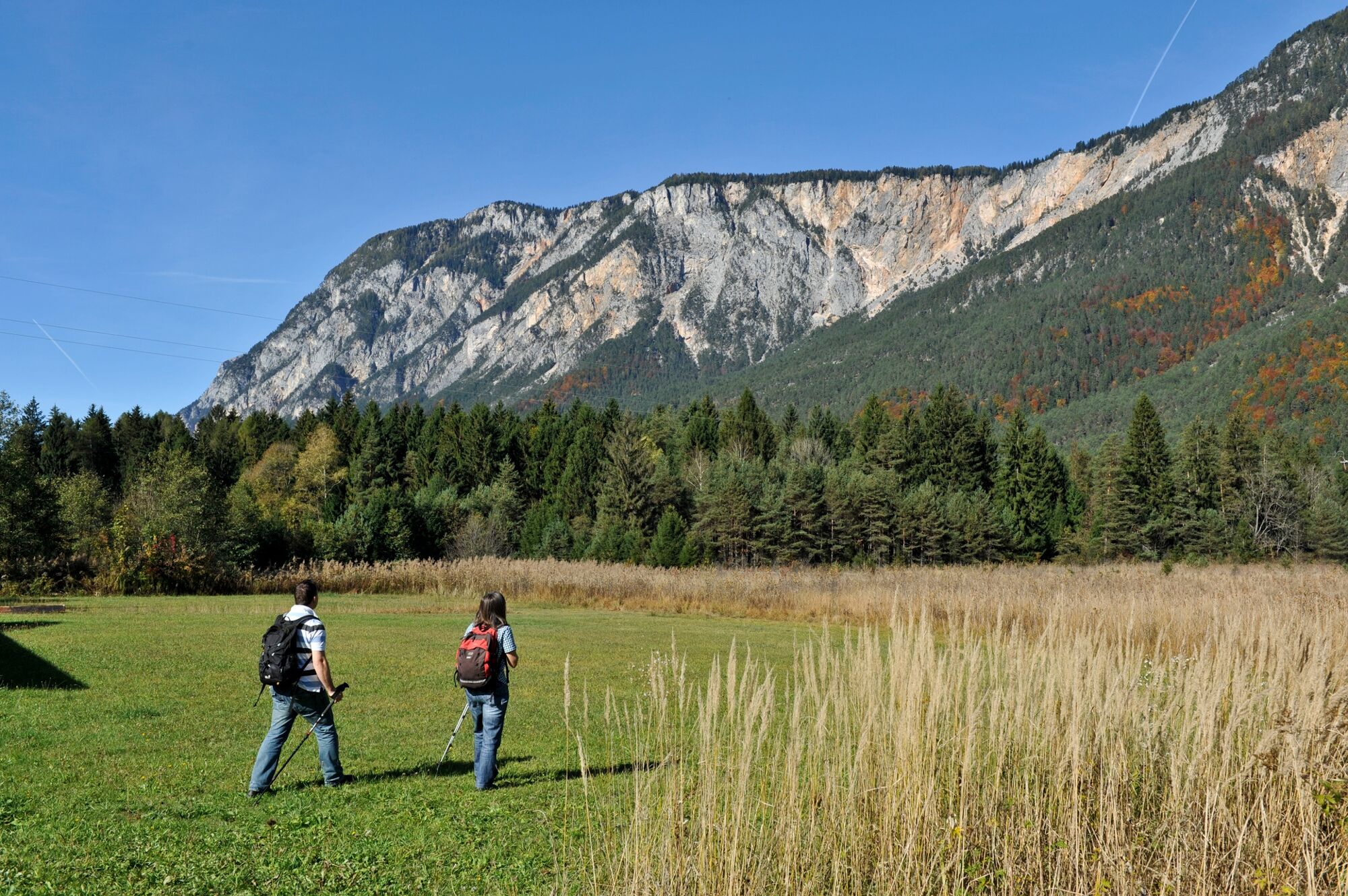
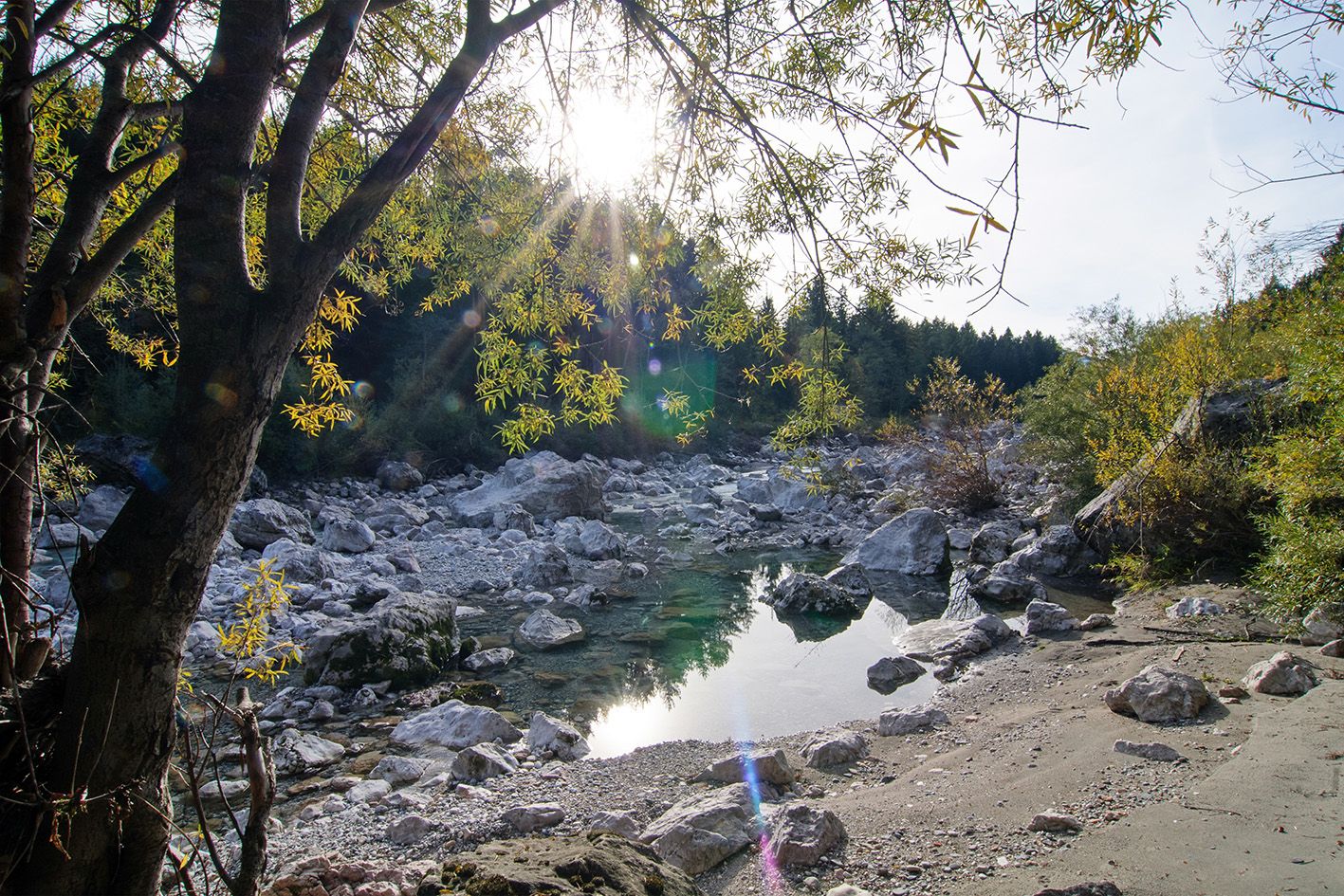
A relatively short and flat hike through the landslide area of "Schütt."
- Difficulté
-
facile
- Évaluation
-
- Parcours
-
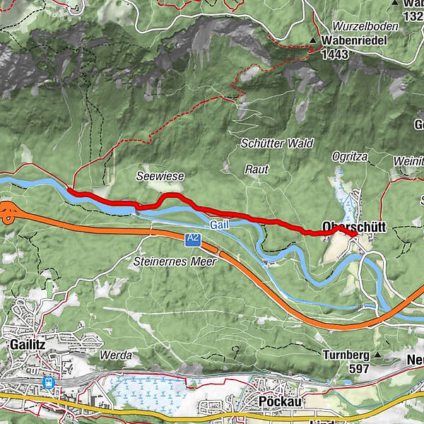
OberschüttSankt Maria Magdalena0,0 kmAlmwirtschaft Schütt3,8 kmSankt Maria Magdalena7,5 kmOberschütt7,6 km
- Meilleure saison
-
janv.févr.marsavrilmaijuinjuil.aoûtsept.oct.nov.déc.
- Hauteur maximale
- 550 m
- Point de mire
-
Oberschütt Fire Station
- Profil en hauteur
-


- Auteur
-
La randonnée Nature Reserve Schütt est utilisé par outdooractive.com fourni par.
GPS Downloads


Informations générales
Point de rassemblement
Culturel/Historiquement
Flore
Faune
Prometteur
Autres parcours dans les régions


