Dates des itinéraires
19,4km
610
- 879m
599hm
583hm
05:25h

- Brève description
-
Einfache schöne Wanderung
- Difficulté
-
moyen
- Évaluation
-
- Point de départ
-
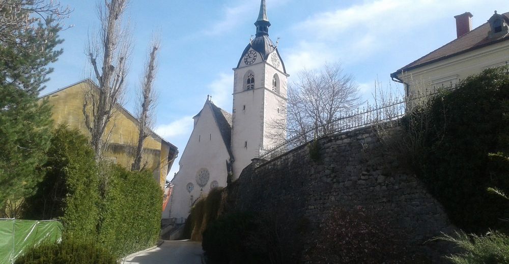
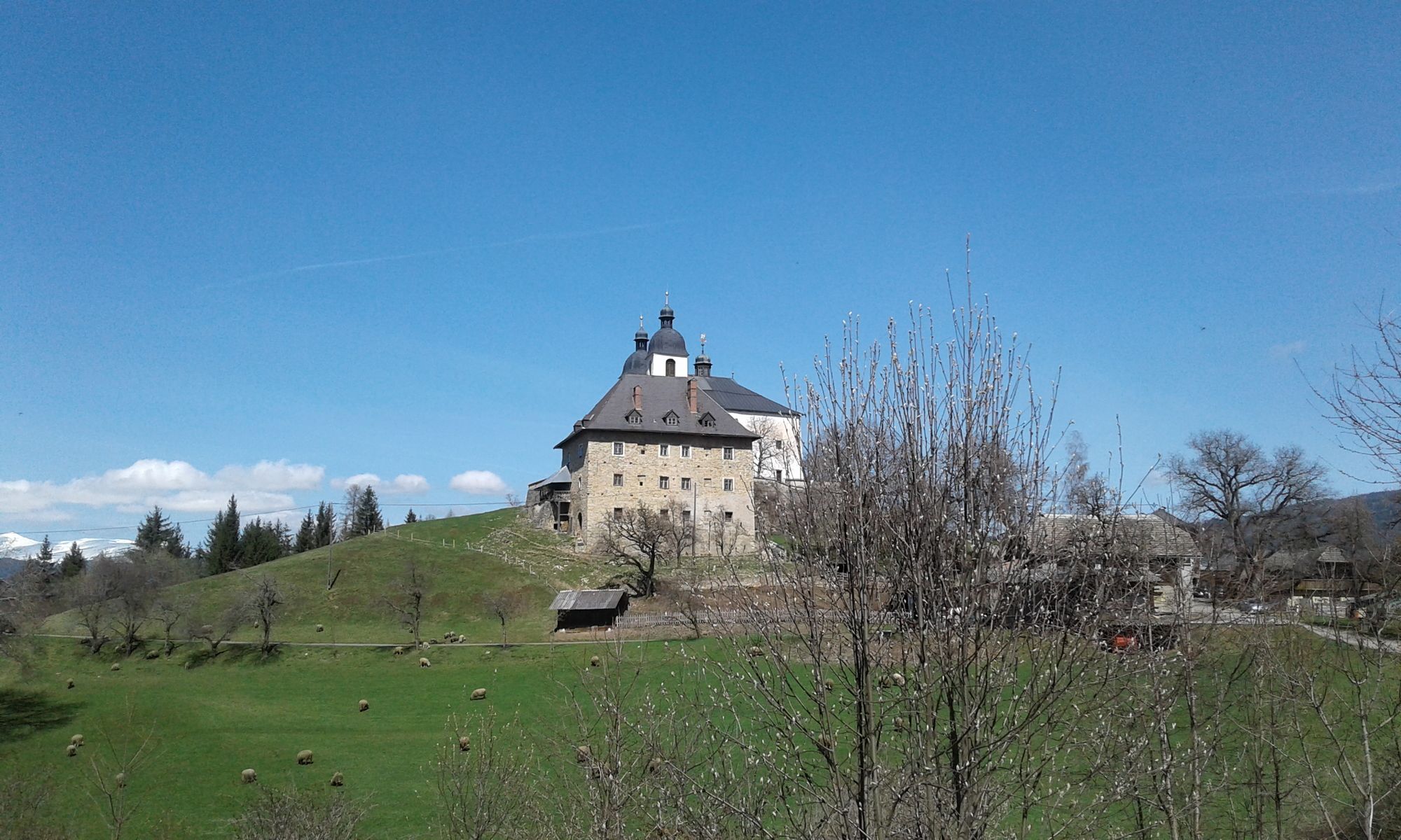
Kurhotel Althofen
- Parcours
-
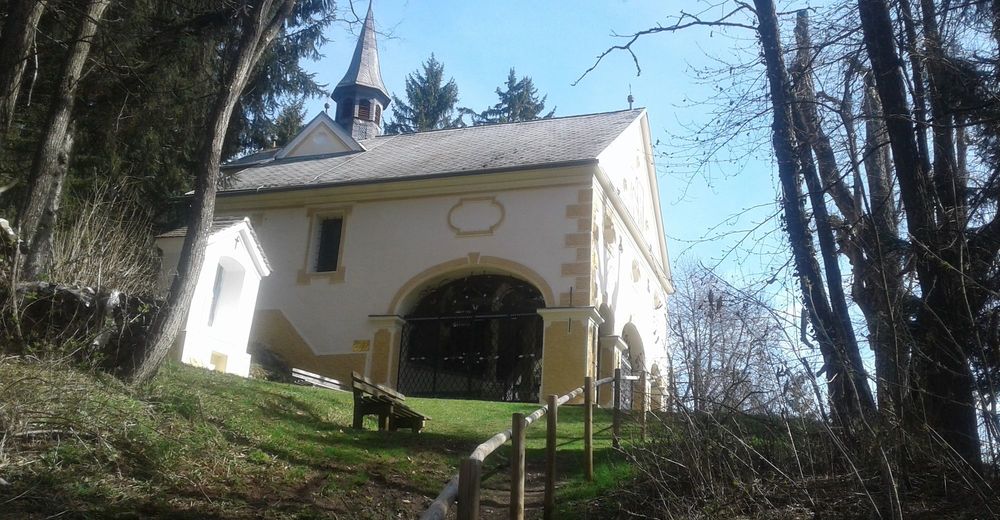
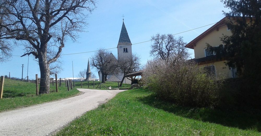
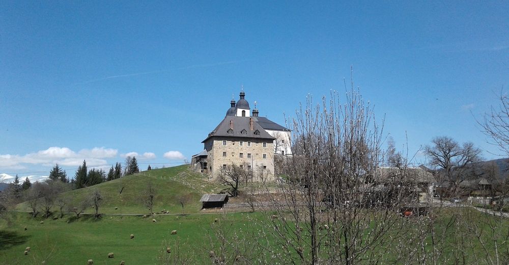
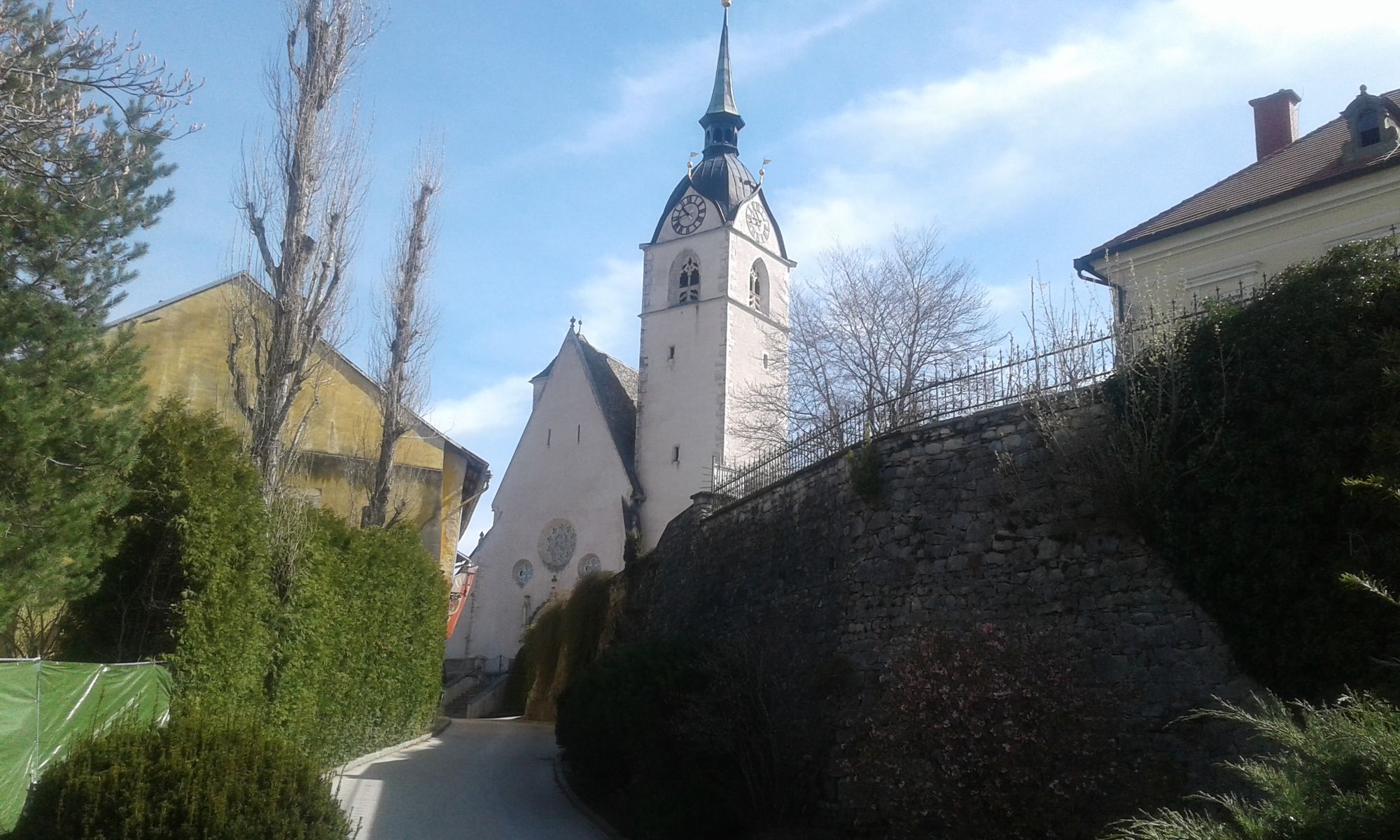
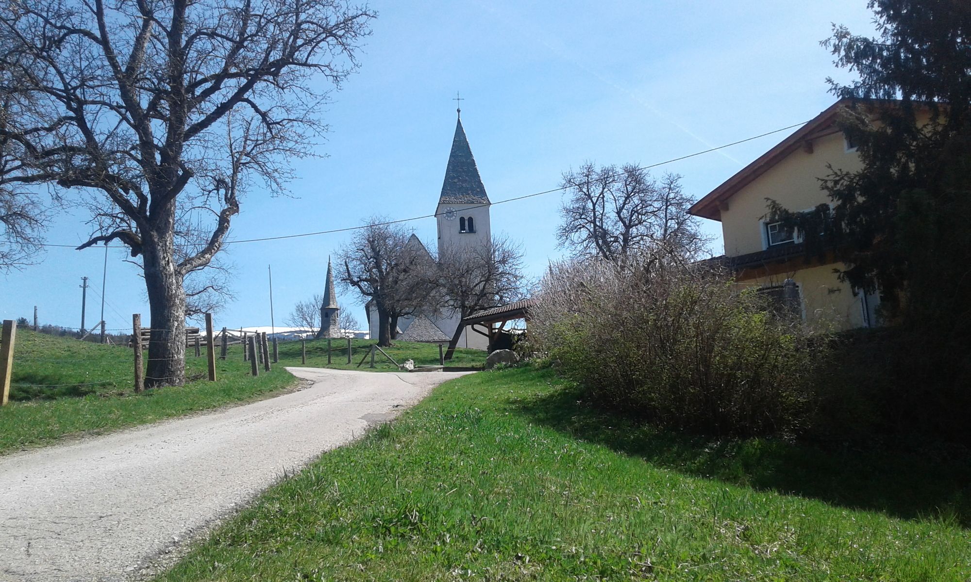
Althofen1,9 kmGasthaus Zur Post2,0 kmHornturm2,2 kmPfarrkirche Althofen2,3 kmKalvarienbergkapelle3,0 kmWeindorf4,9 kmPfarrkirche hl. Rupert8,1 kmGuttaring8,2 kmFilialkirche Deinsberg9,7 kmDeinsberg9,7 kmSchelmberg11,0 kmMaria Hilf12,4 kmWallfahrtskirche Maria Hilf12,4 kmGasthaus Lindenwirt12,5 kmLindenwirt12,5 kmHollersberg (801 m)15,3 kmRabachboden16,9 kmBuschenschenke Dachberger18,3 kmDachberg18,3 km
- Meilleure saison
-
janv.févr.marsavrilmaijuinjuil.aoûtsept.oct.nov.déc.
- Hauteur maximale
- 879 m
- Point de mire
-
Kurhotel Althofen
- Repos/Rassembler
-
Lindenwirt / Maria Hilf

GPS Downloads


Autres parcours dans les régions
-
Mittelkärnten
1379
-
Naturpark Zirbitzkogel - Grebenzen
668
-
Guttaring
126