

© Wörthersee Tourismus/Assam - Assam
© Region Wörthersee-Rosental Tourismus GmbH - Andreas Irnstorfer

© Region Wörthersee-Rosental Tourismus GmbH - Andreas Irnstorfer

© Region Wörthersee-Rosental Tourismus GmbH - Andreas Irnstorfer

© Region Wörthersee-Rosental Tourismus GmbH - Andreas Irnstorfer

© Region Wörthersee-Rosental Tourismus GmbH - Andreas Irnstorfer

© Region Wörthersee-Rosental Tourismus GmbH - Andreas Irnstorfer

© Region Wörthersee-Rosental Tourismus GmbH - Andreas Irnstorfer

© Region Wörthersee-Rosental Tourismus GmbH - Andreas Irnstorfer

© Region Wörthersee-Rosental Tourismus GmbH - Andreas Irnstorfer
Dates des itinéraires
6,85km
493
- 655m
178hm
182hm
02:00h

- Brève description
-
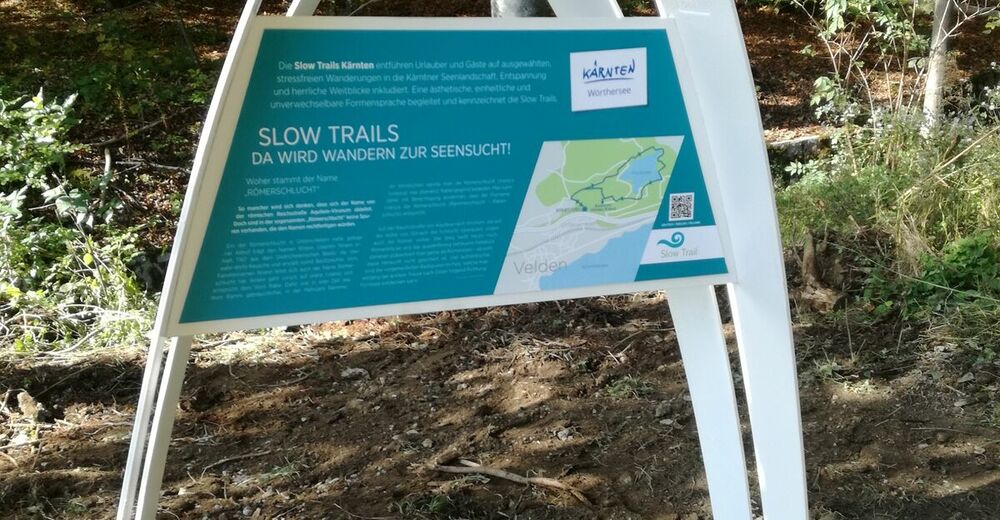
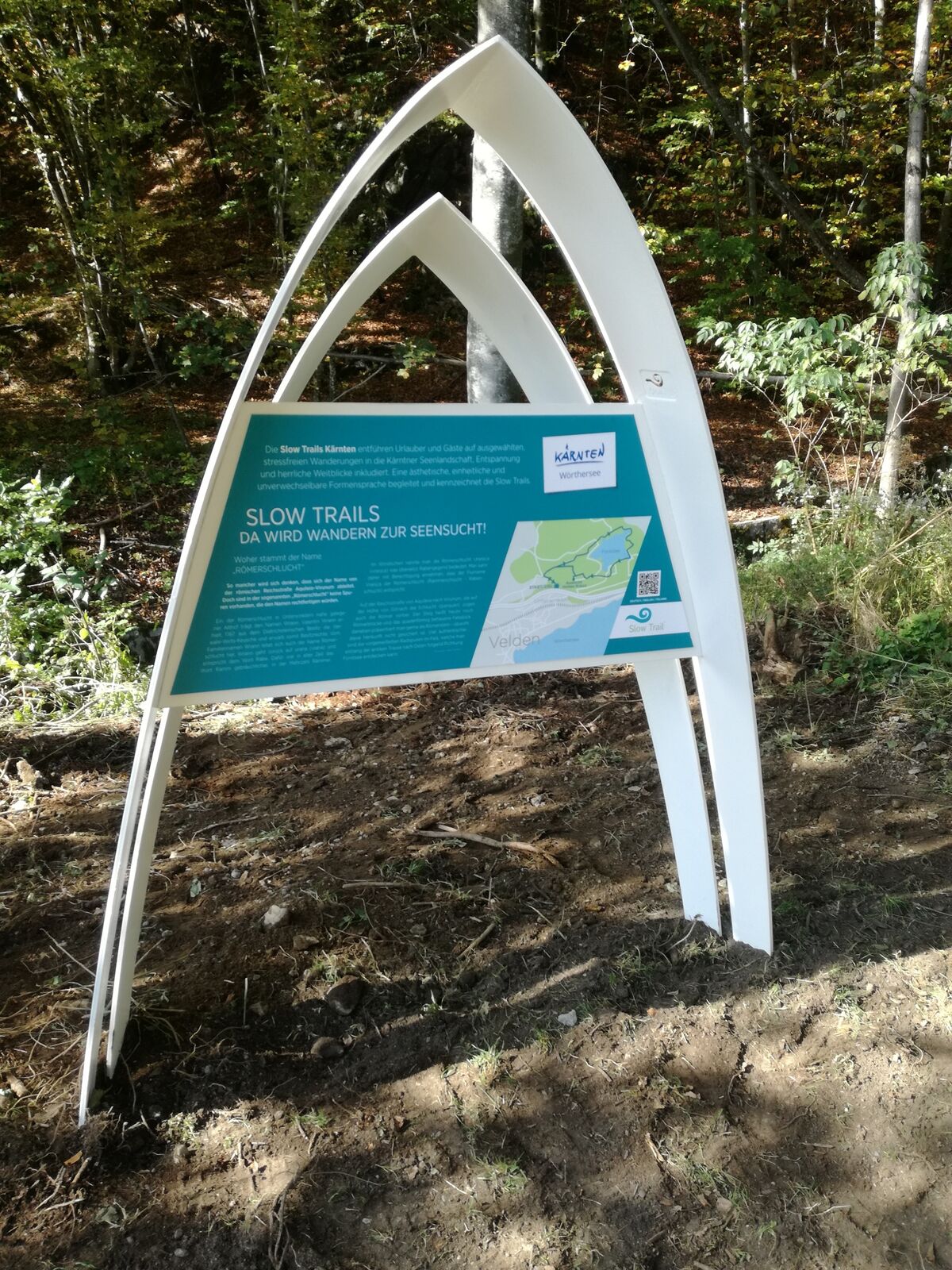
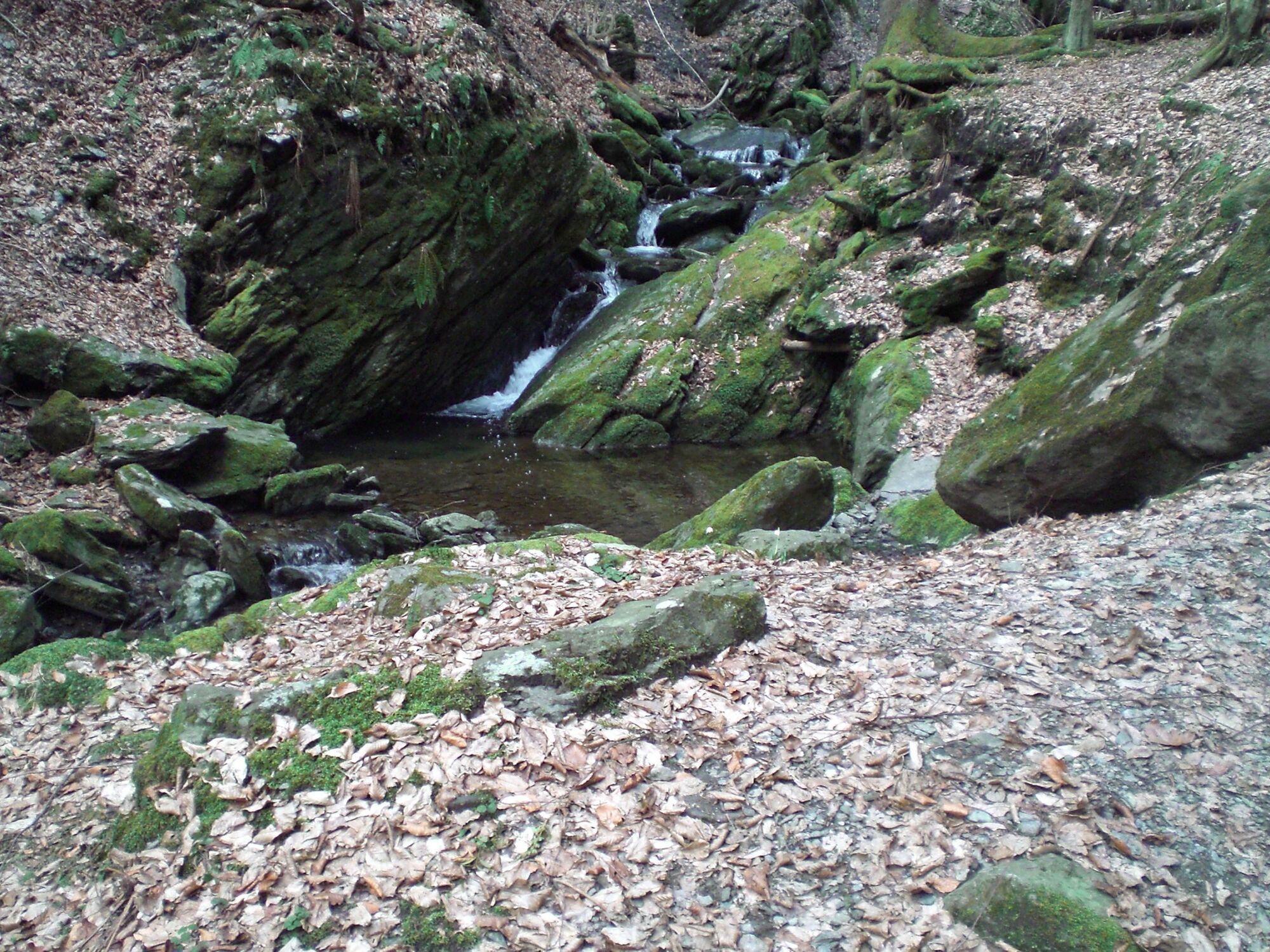
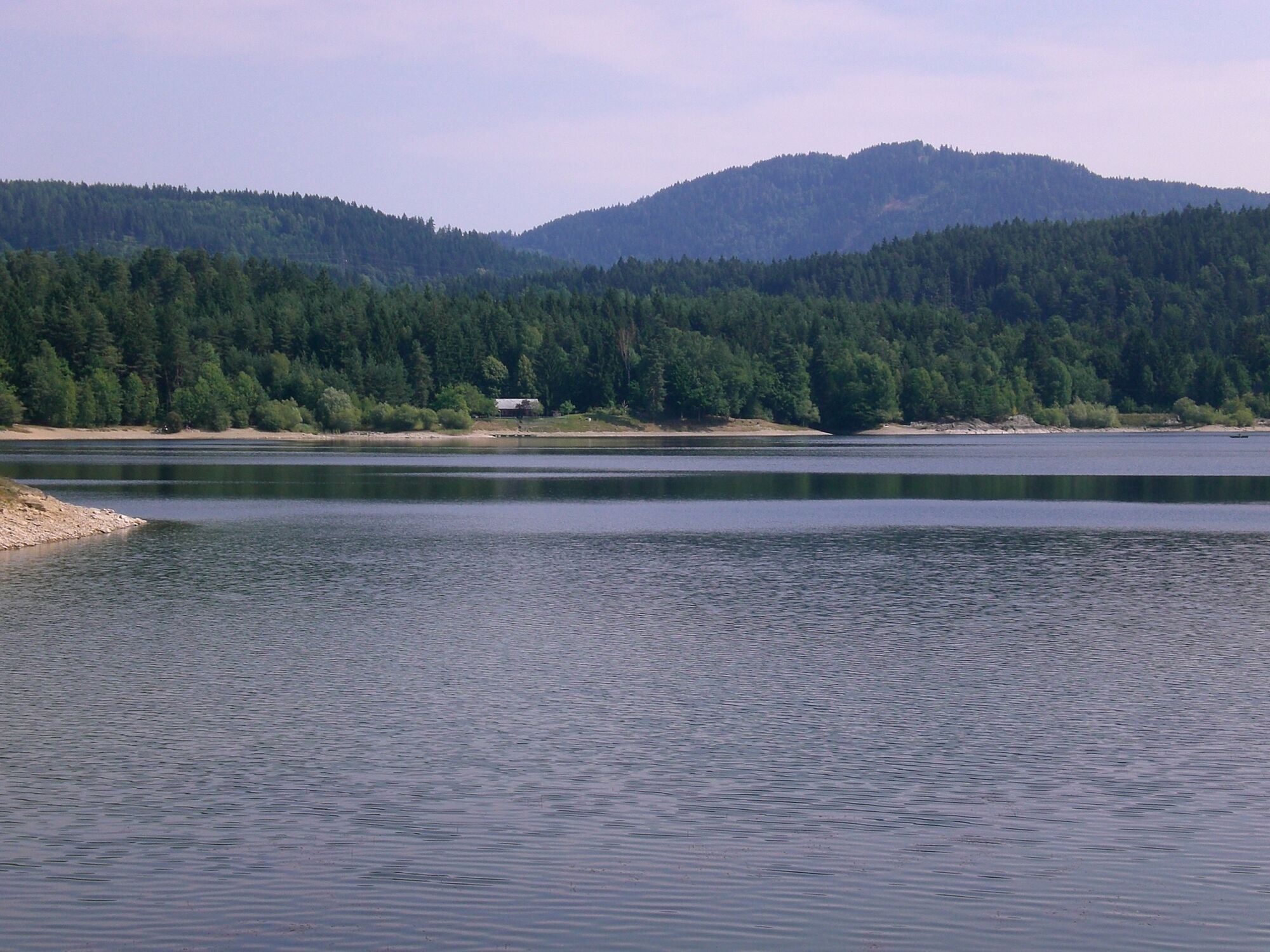
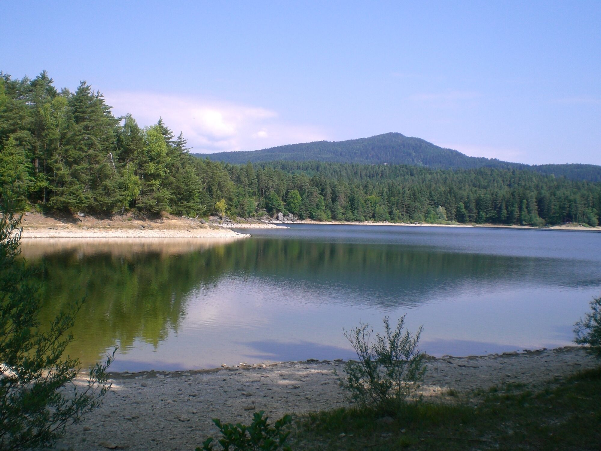
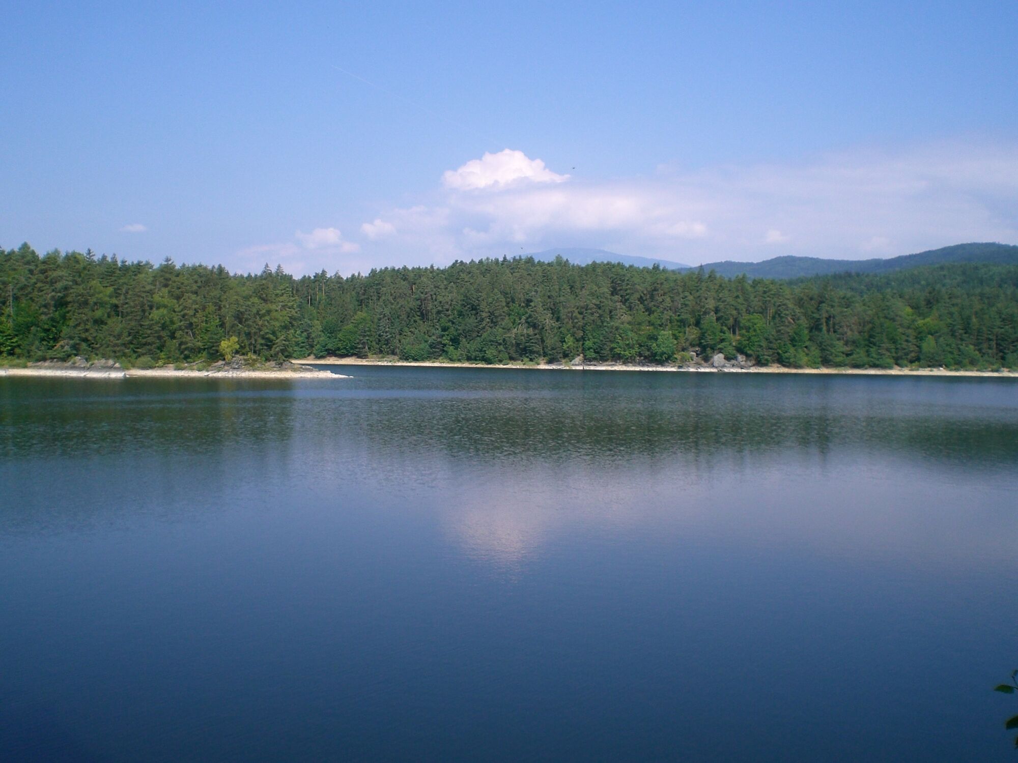
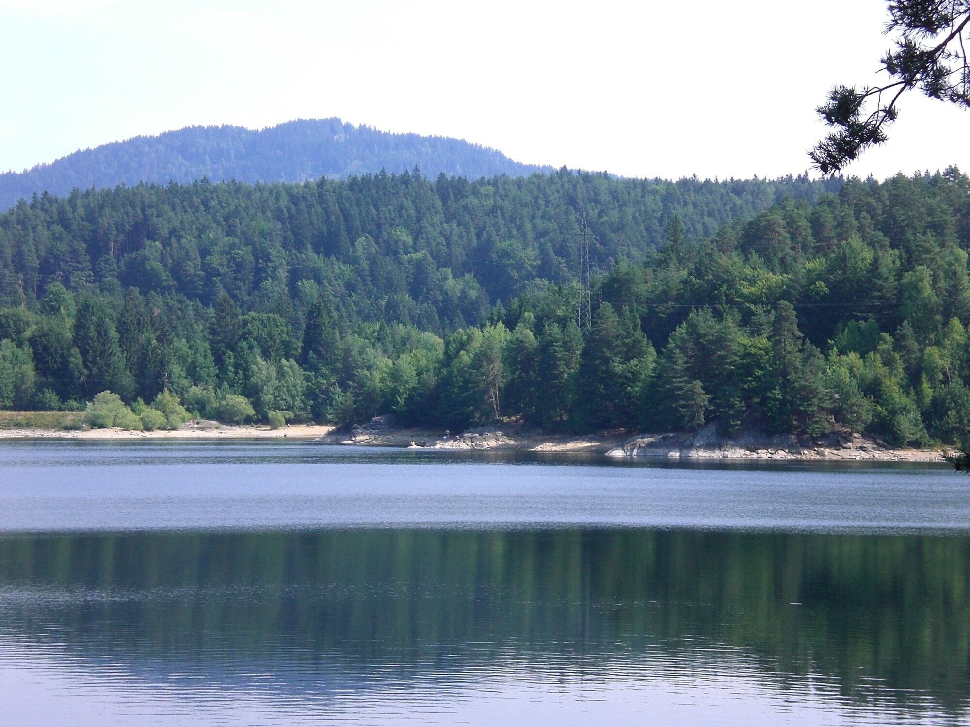
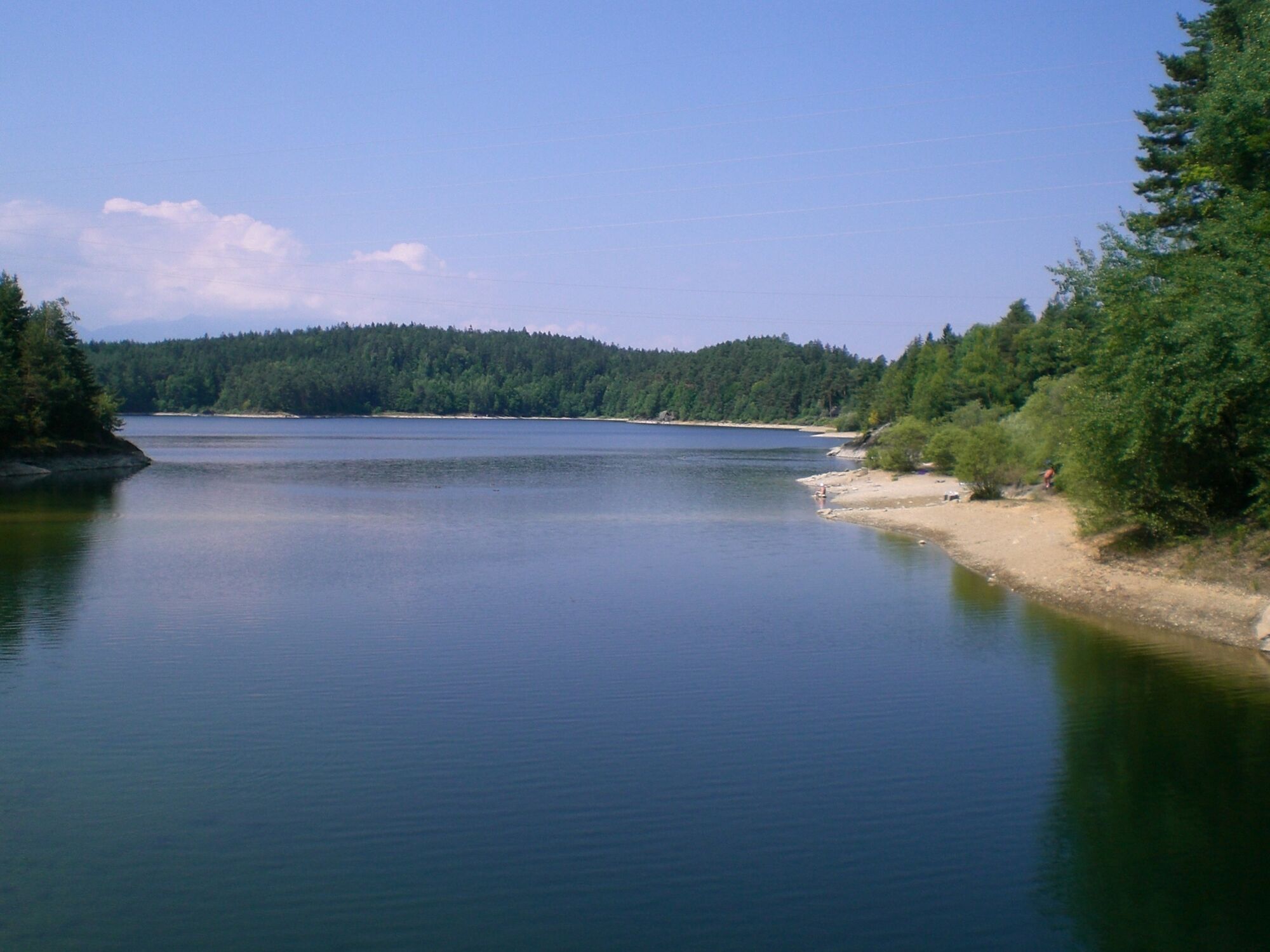
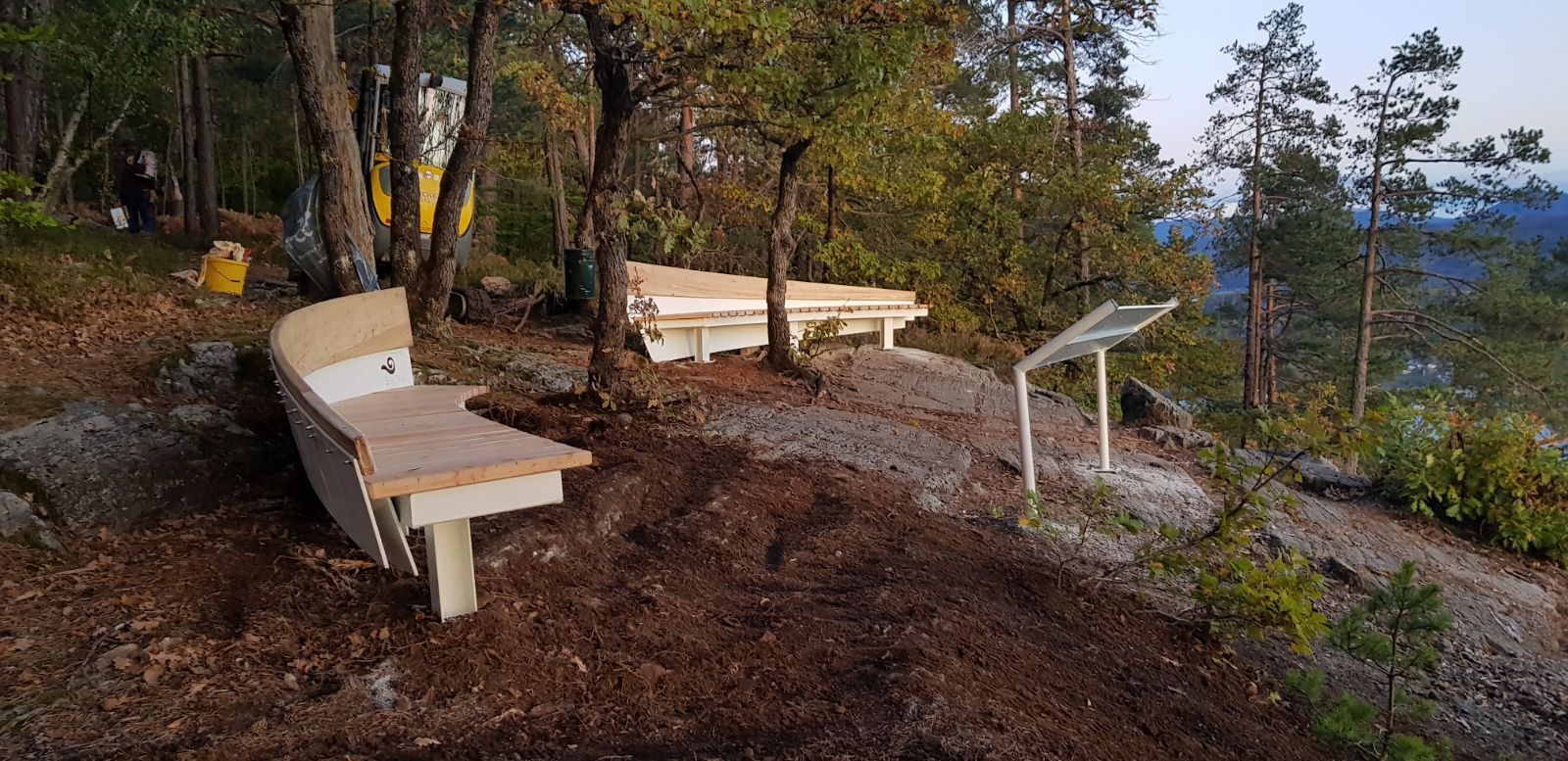
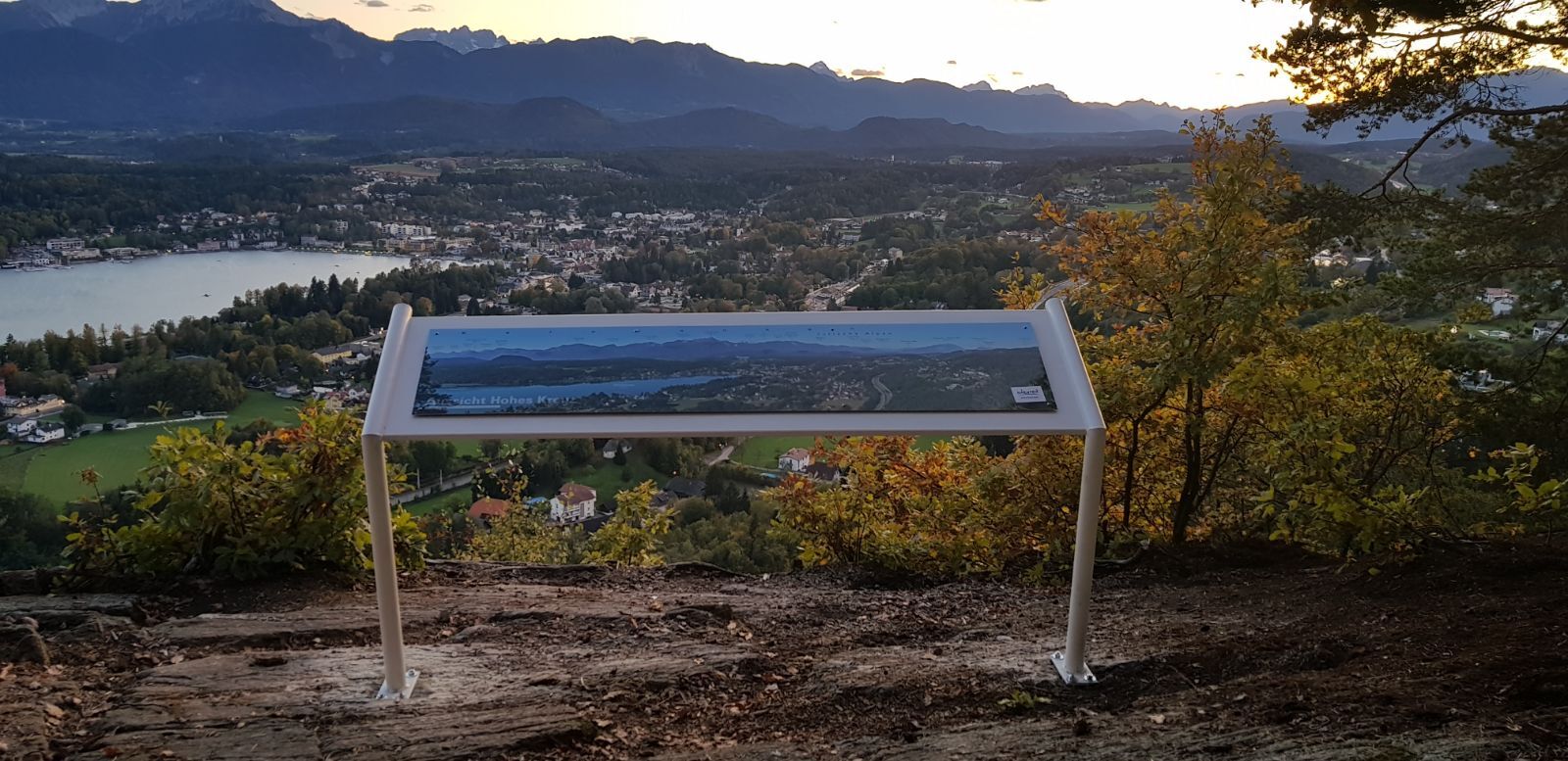
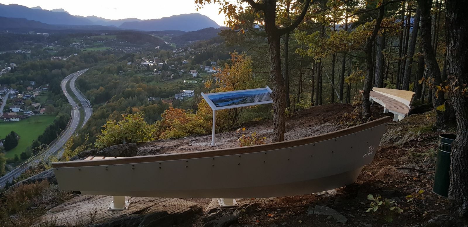
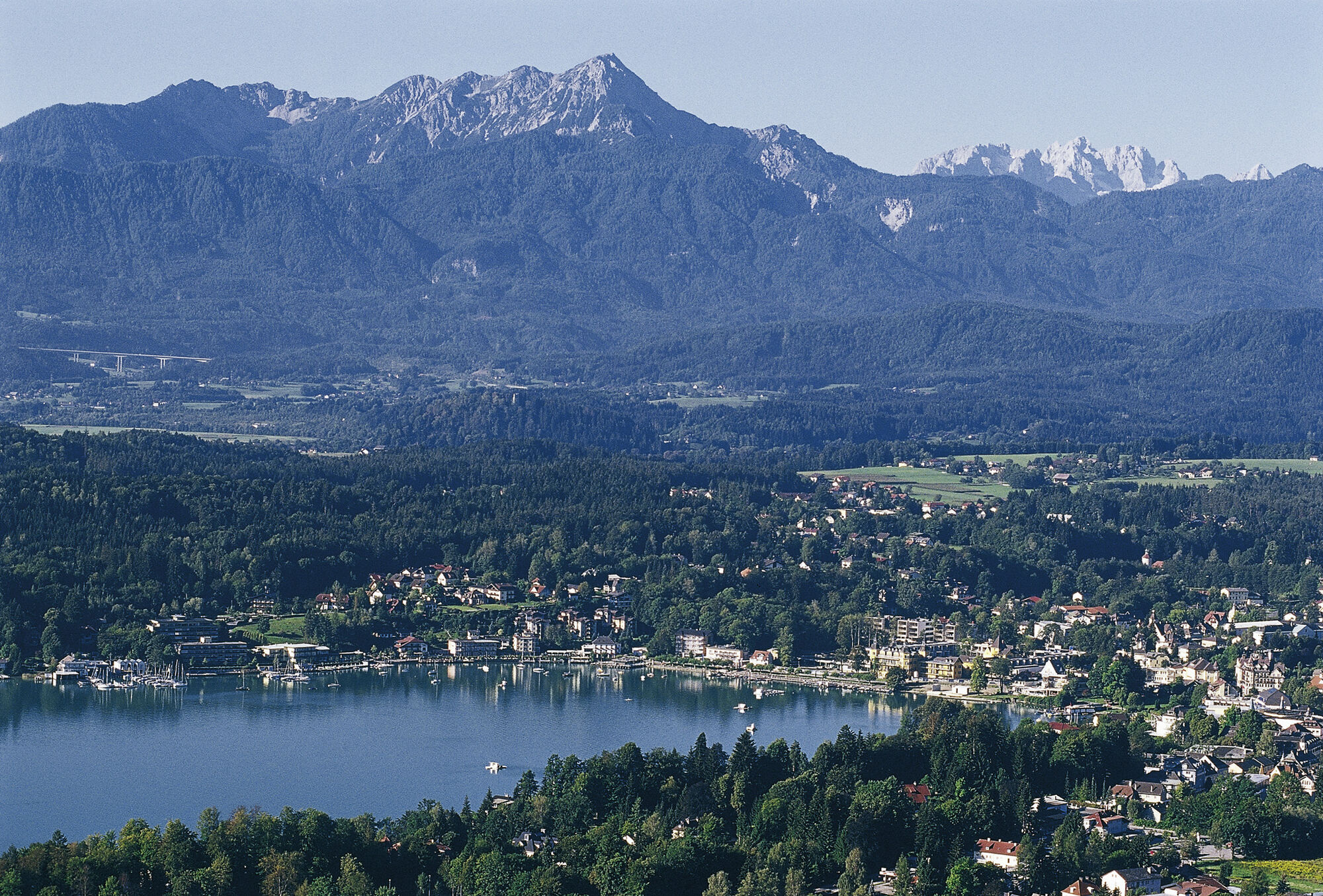
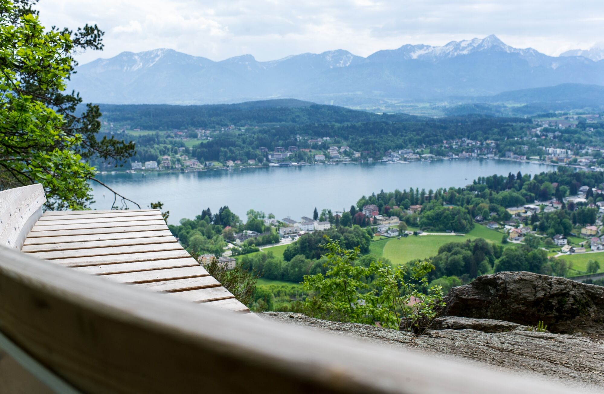
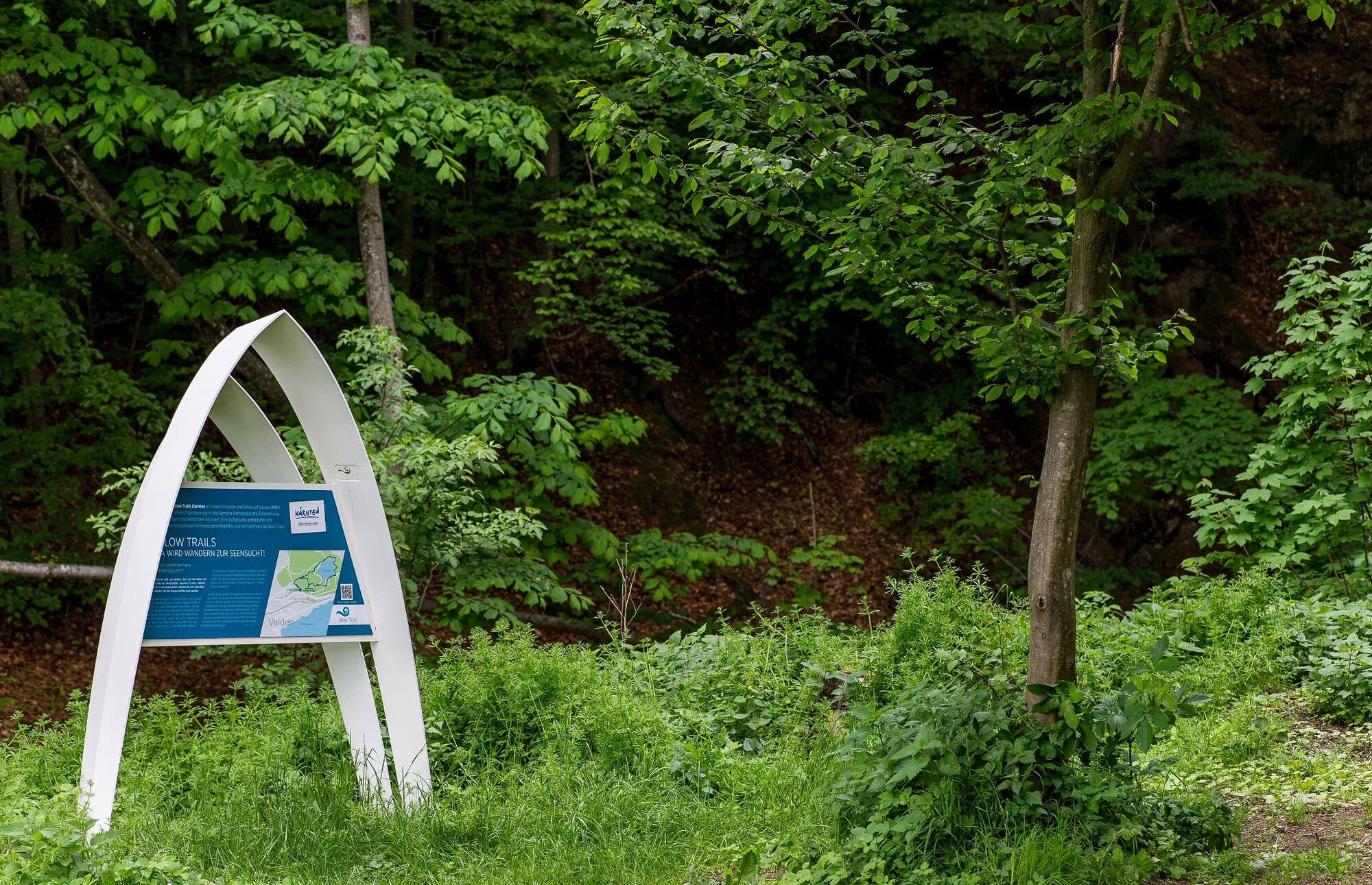
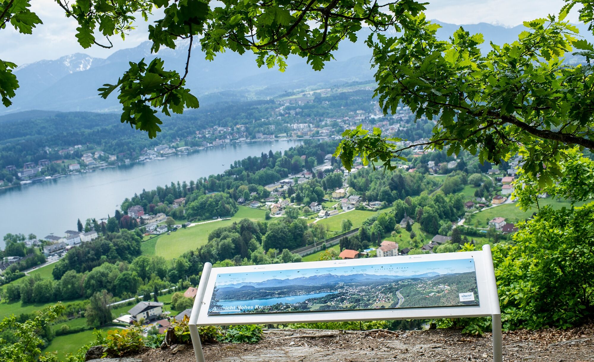
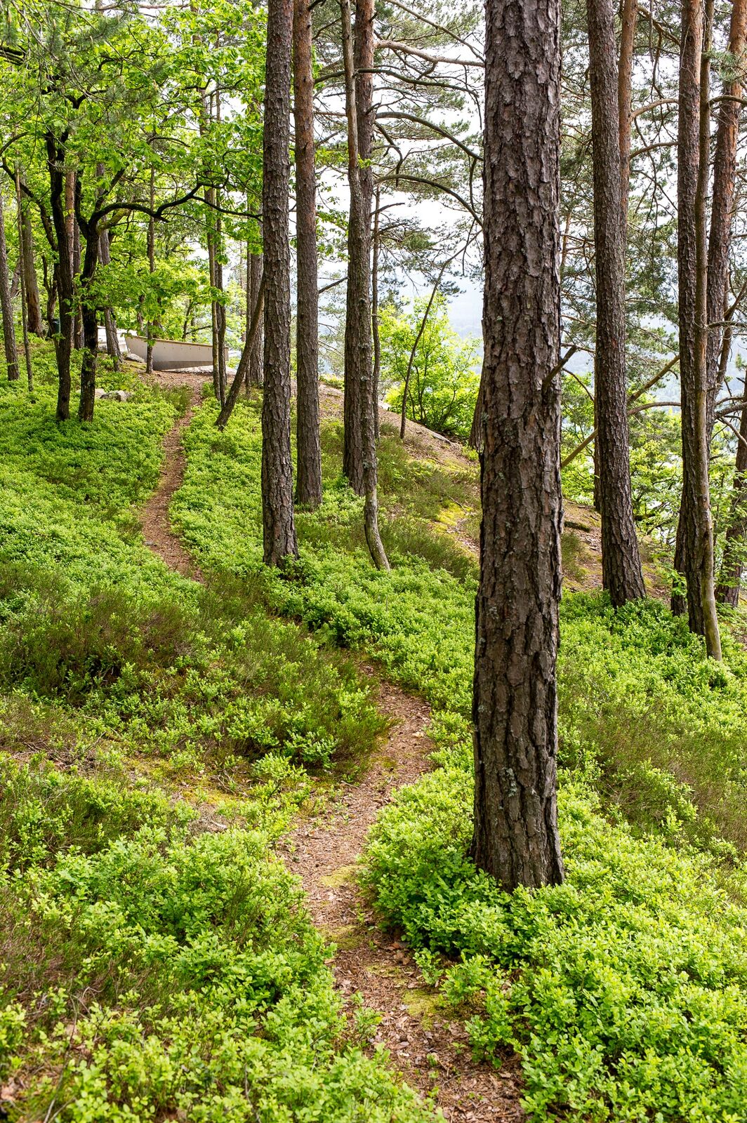
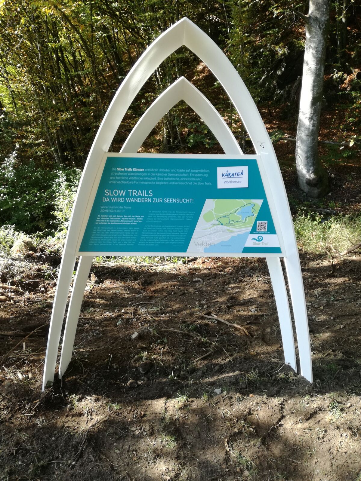
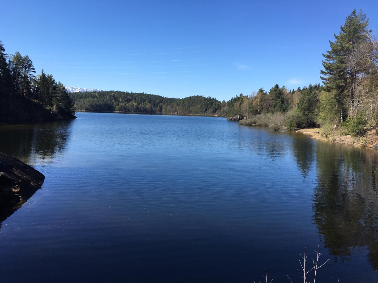
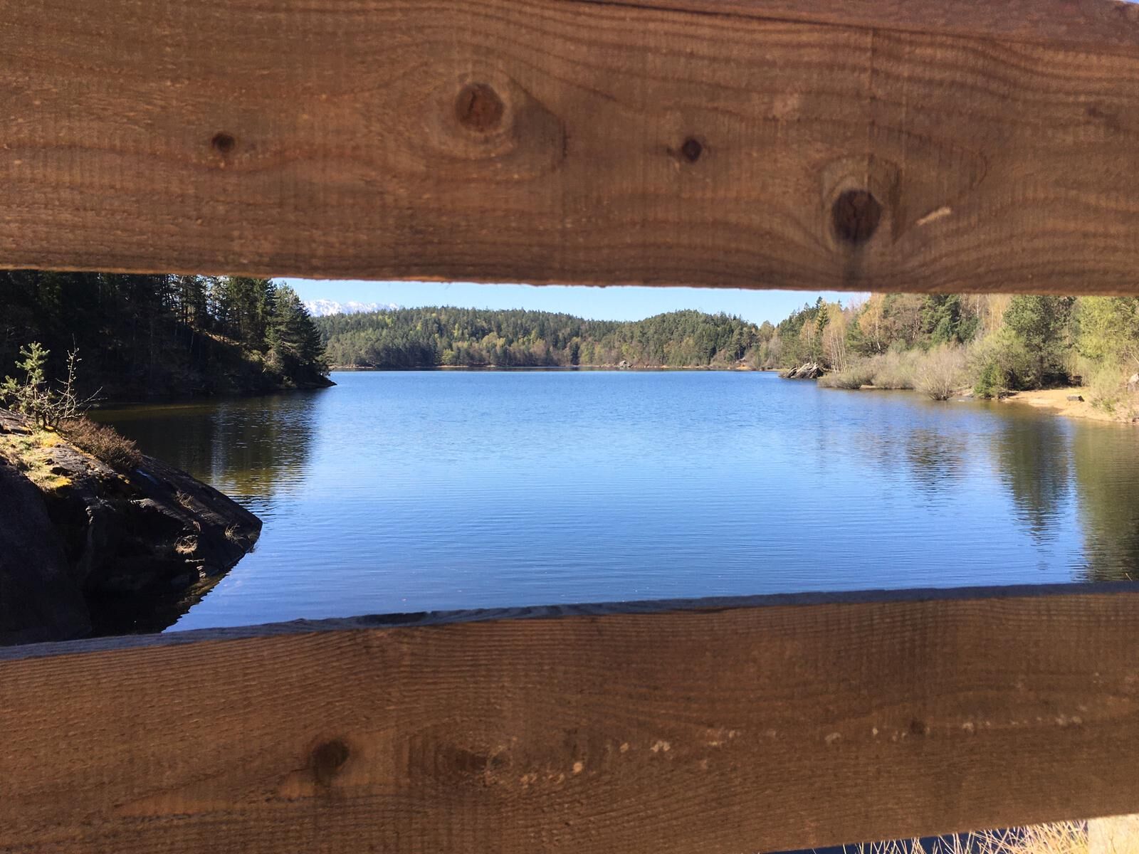
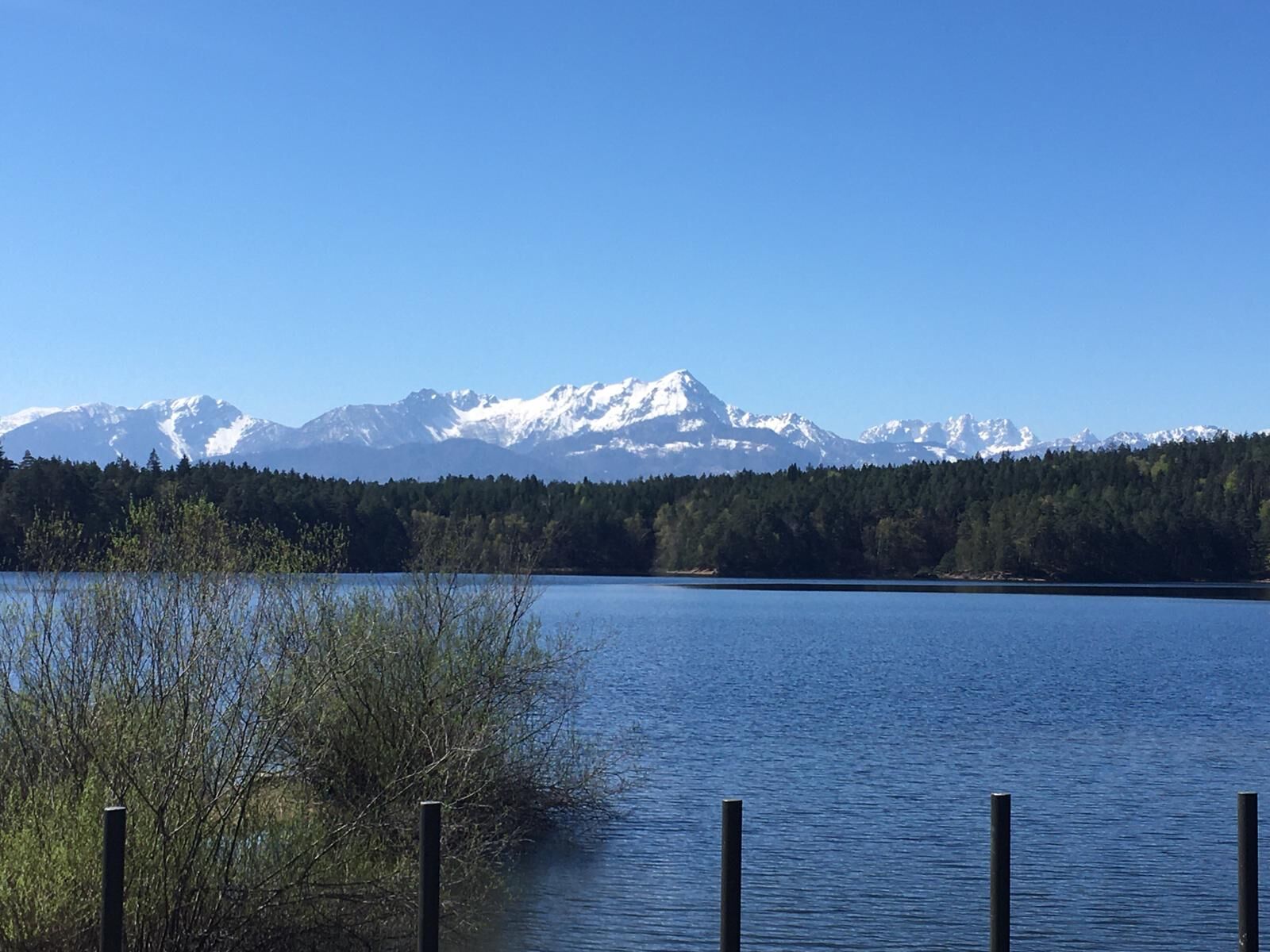
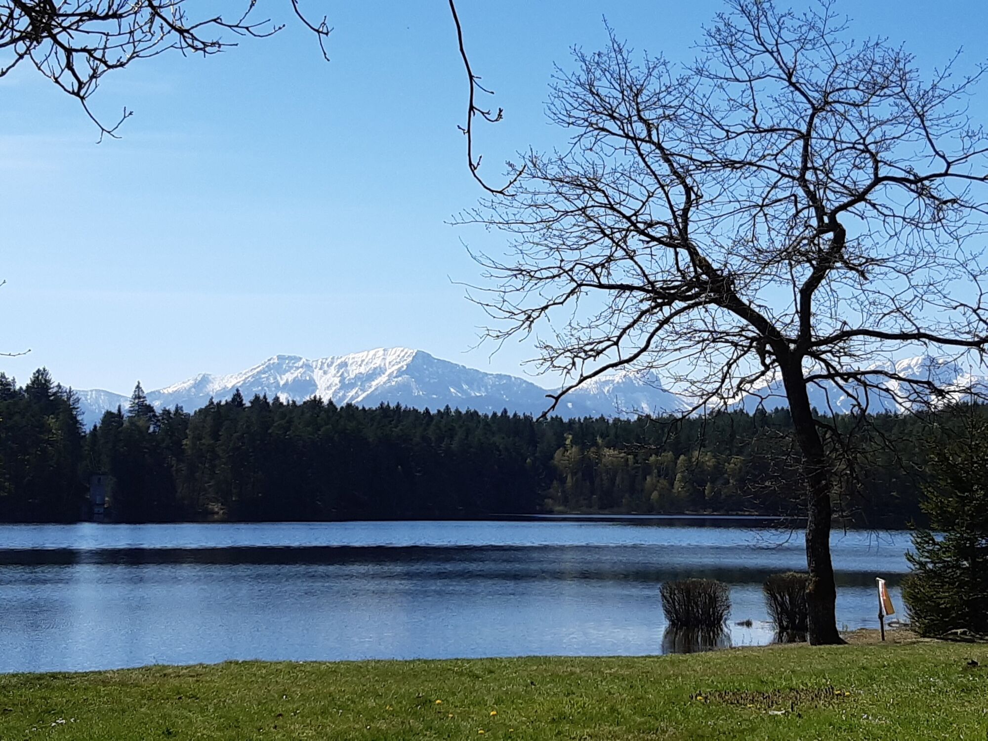
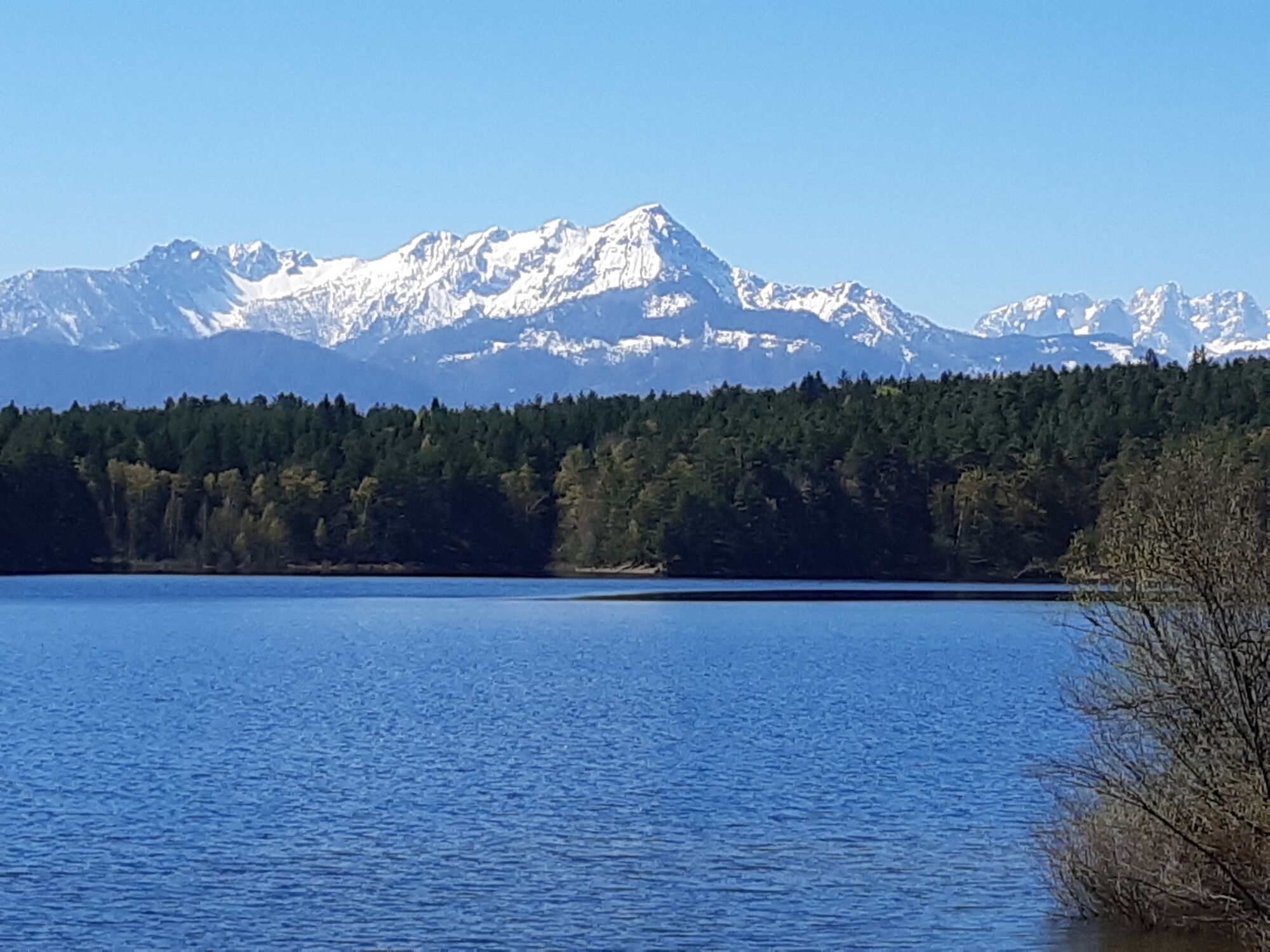
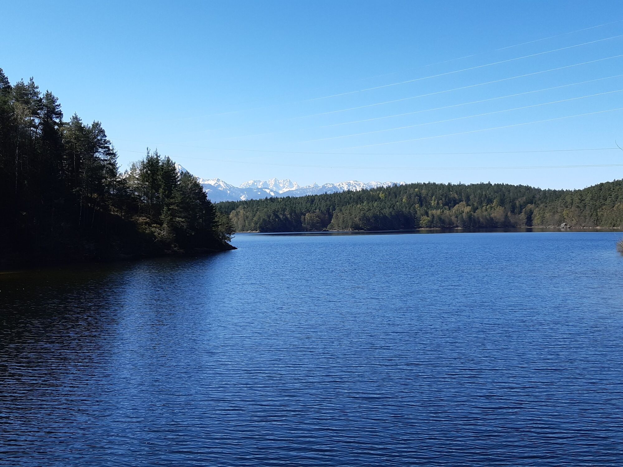
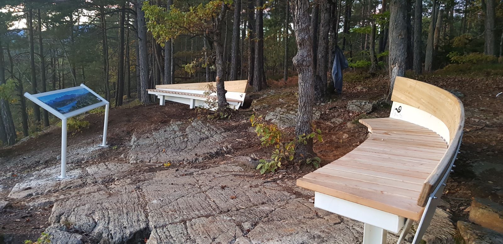
The Slow Trails Carinthia take holidaymakers and guests on selected, stress-free hikes in the Carinthian lake landscape, including relaxation and magnificent views. An aesthetic, uniform and unmistakable design language accompanies and characterises the Slow Trails.
- Difficulté
-
moyen
- Évaluation
-
- Parcours
-
VeldenRömerschlucht0,1 kmRömerschlucht6,5 kmVelden6,8 km
- Meilleure saison
-
janv.févr.marsavrilmaijuinjuil.aoûtsept.oct.nov.déc.
- Hauteur maximale
- 655 m
- Point de mire
-
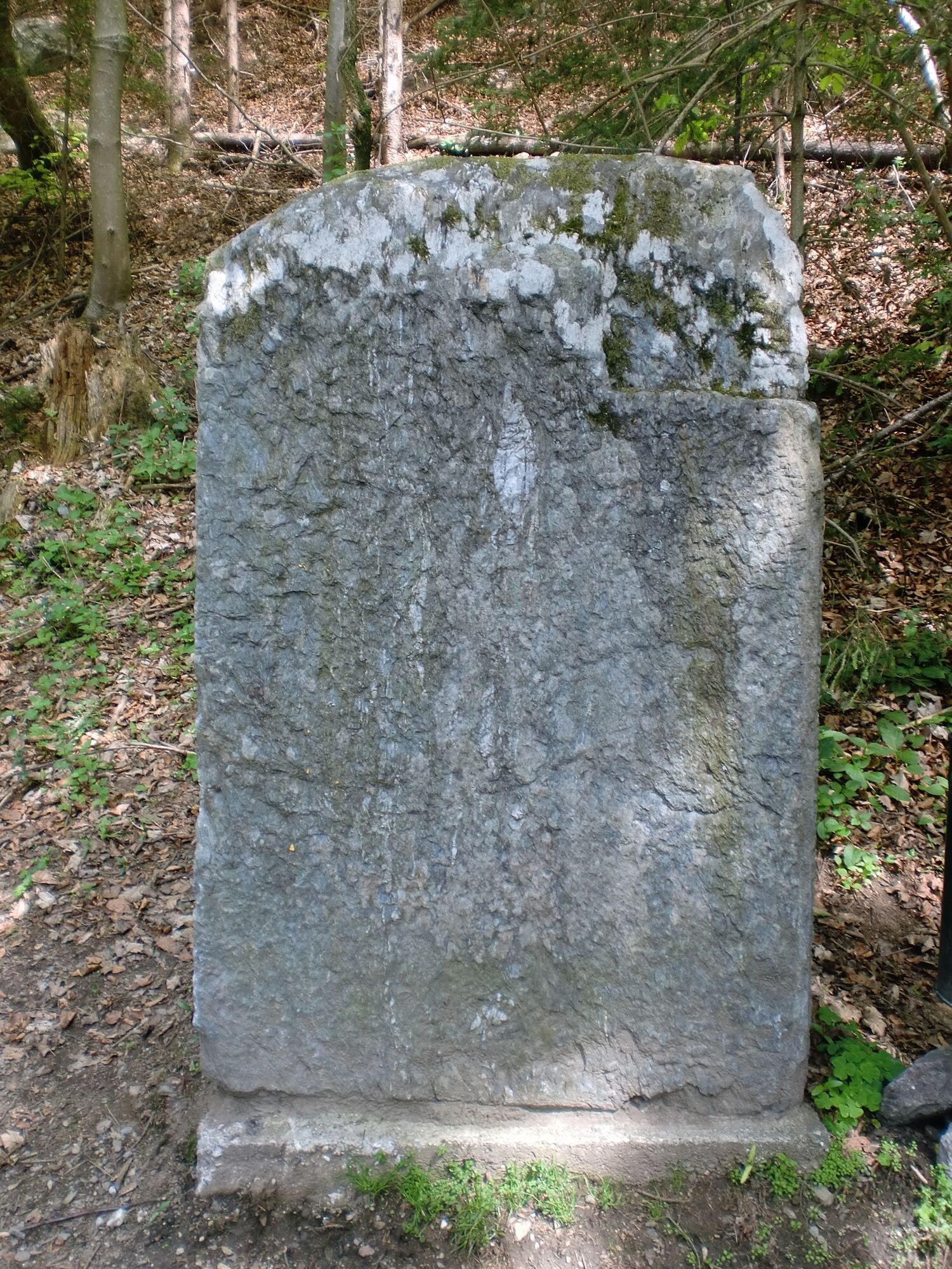
Franzosenkirche Velden
- Profil en hauteur
-


- Auteur
-
La randonnée Slow Trail Römerschlucht est utilisé par outdooractive.com fourni par.
GPS Downloads


Informations générales
Prometteur
Autres parcours dans les régions


