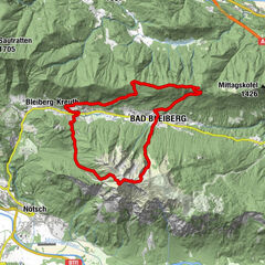
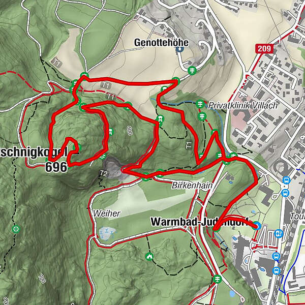
Tscheltschnigkogel Challenge - Jogging and Trail Running Arena Warmbad-Villach

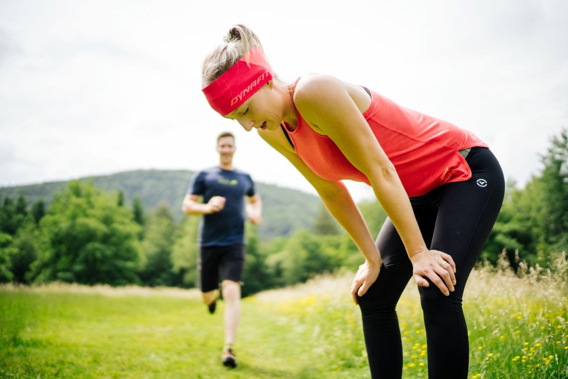
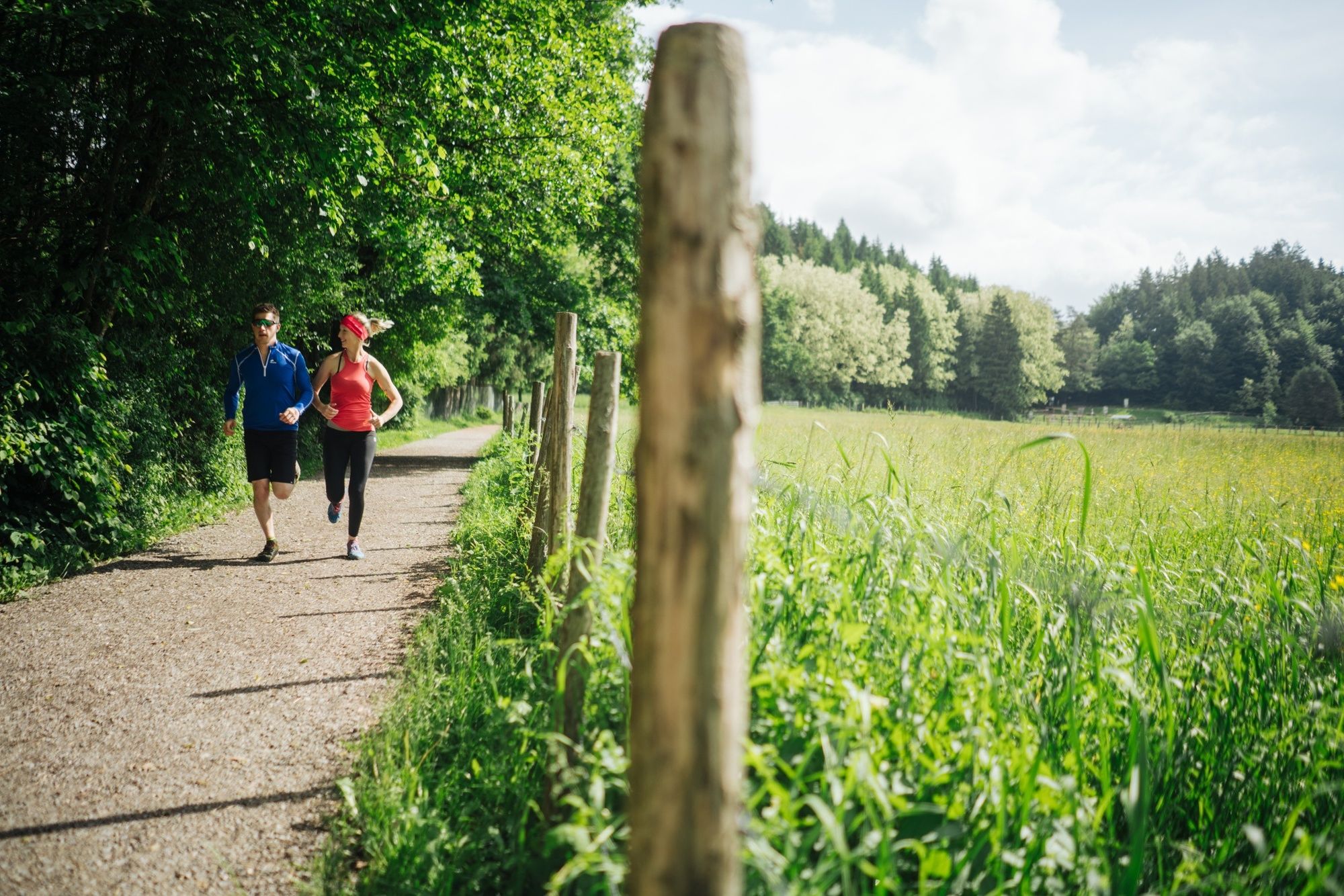
Trailrunning

© Region Villach - Faaker See - Ossiacher See - Region Villach

© Region Villach - Faaker See - Ossiacher See - Marc Horbal

© Region Villach - Faaker See - Ossiacher See - Region Villach

© Region Villach - Faaker See - Ossiacher See - Region Villach
Dates des itinéraires
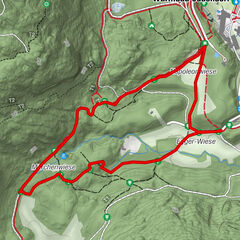
4,81km
497
- 691m
174hm
158hm
01:00h

- Brève description
-
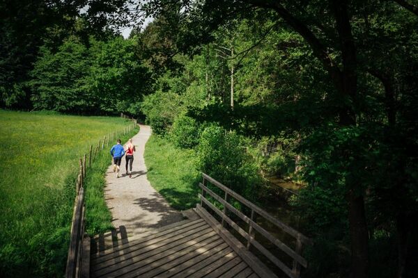
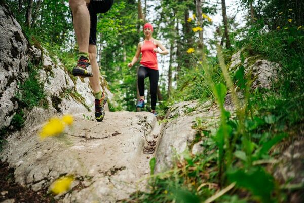
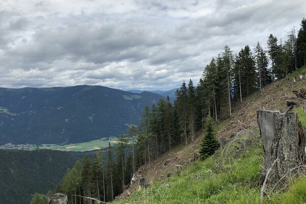
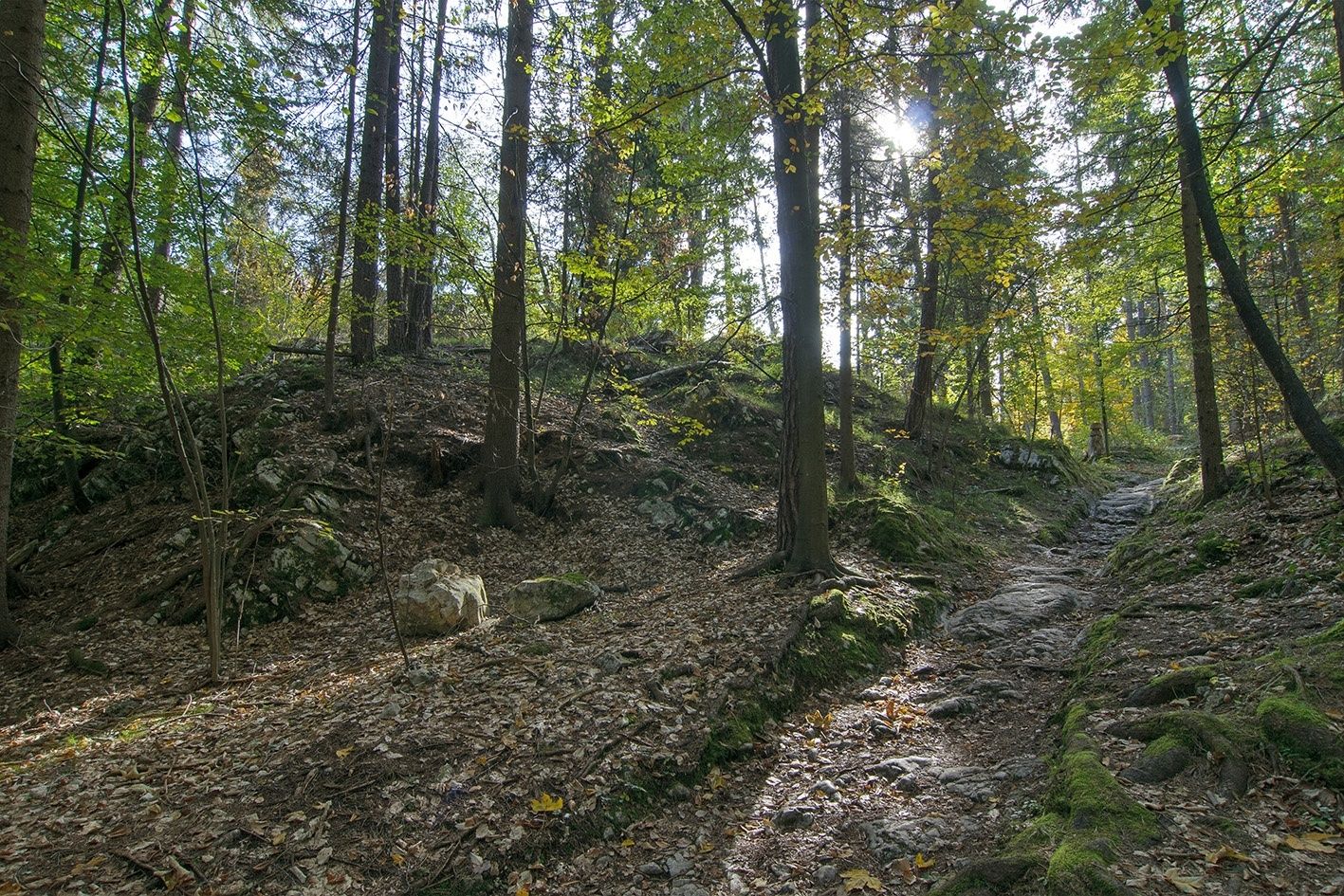
A short and intensive mountain run along the brook Maibachl, up to the Tscheltschnigkogel and back to the Kurpark.
- Difficulté
-
difficile
- Évaluation
-
- Parcours
-
Warmbader Hauskapelle0,2 kmWarmbad-Judendorf0,2 kmMaibachl0,8 kmTscheltschnigkogel (696 m)2,3 kmDurezza-Schachthöhle2,5 kmGenottehöhe3,2 kmVillach (501 m)3,4 km
- Meilleure saison
-
janv.févr.marsavrilmaijuinjuil.aoûtsept.oct.nov.déc.
- Hauteur maximale
- 691 m
- Point de mire
-
Warmbad Villach - Spa Park
- Profil en hauteur
-


- Auteur
-
La randonnée Tscheltschnigkogel Challenge - Jogging and Trail Running Arena Warmbad-Villach est utilisé par outdooractive.com fourni par.
GPS Downloads


Informations générales
Point de rassemblement
Culturel/Historiquement
Prometteur
Autres parcours dans les régions