© Ciclovia Alpe Adria Radweg - caar-salzburg kunden


- Difficulté
-
difficile
- Évaluation
-
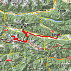
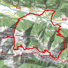
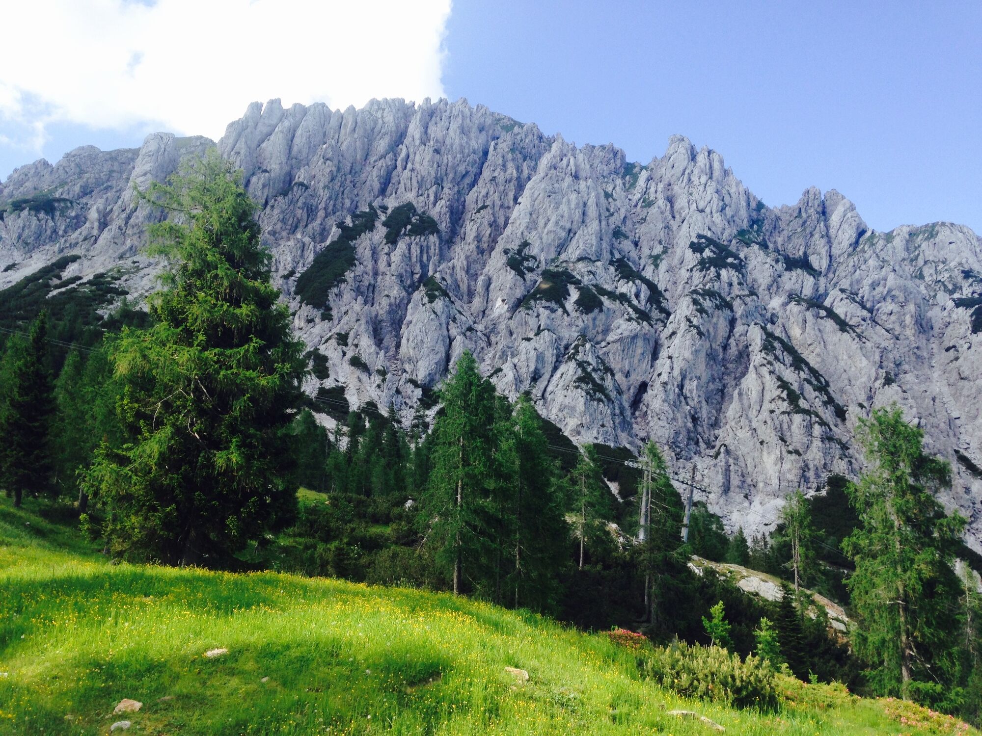
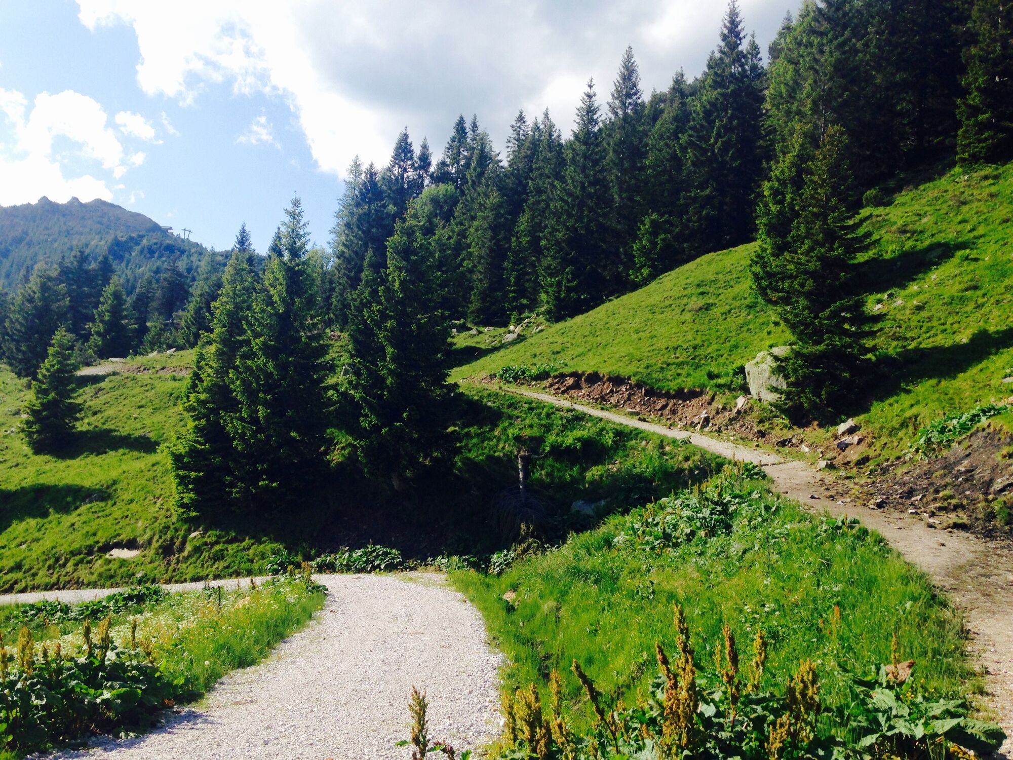
- Parcours
-
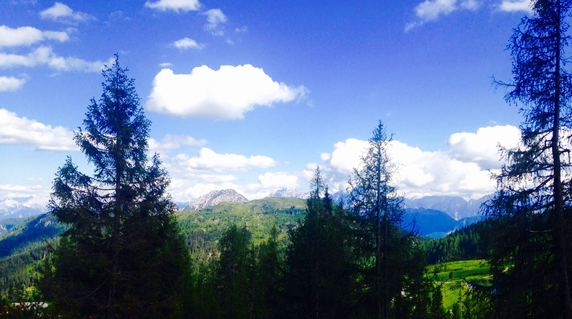
Zum Alois0,0 kmTröpolach0,2 kmPfarrkirche Tröpolach0,3 kmGasthof Reiter2,2 kmRattendorf2,5 kmRattendorfer Alm13,0 kmGrotta di Attila15,4 kmLanzenalm18,0 kmCasarotta20,0 kmPonte della Lenza26,0 kmPonte del Louf26,6 kmPonte Lavaz28,5 kmFrazione Studena Bassa (641 m)29,7 kmAgriturismo La Vecchia Latteria29,9 kmPontafel32,9 kmAgriturismo Malga Tratten41,3 kmTrattenalm (1.230 m)41,4 kmPasso Pramollo45,2 kmAlbergo Ristorante Wulfenia da Livio45,2 kmSonnenalpe Naßfeld46,2 kmTalsperre Oselitzenbach55,1 kmTröpolach56,8 km
- Meilleure saison
-
janv.févr.marsavrilmaijuinjuil.aoûtsept.oct.nov.déc.
- Hauteur maximale
- 1.776 m
- Point de mire
-
Talstation des Millennium Express in Tröpolach
- Profil en hauteur
-


- Auteur
-
La randonnée HP3 - Rattendorfer Alm - Pontebba est utilisé par outdooractive.com fourni par.
GPS Downloads


Informations générales
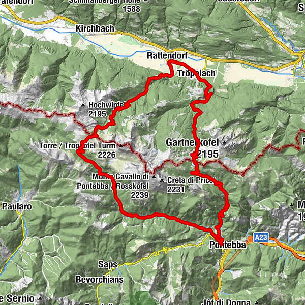
Flore
Autres parcours dans les régions