© Alpe-Adria-Trail - Alexandra Rieger

© Alpe-Adria-Trail - Franz Gerdl

© Andreas Kleinwächter - Alexandra Rieger

© Alpe-Adria-Trail - Roland Oberdorfer

© Alpe-Adria-Trail - Roland Oberdorfer

© Community - Robert Tine

© Alpe-Adria-Trail - Roland Oberdorfer

© Alpe-Adria-Trail - Roland Oberdorfer

© Alpe-Adria-Trail - Franz Gerdl

© Alpe-Adria-Trail - Roland Oberdorfer

- Brève description
-
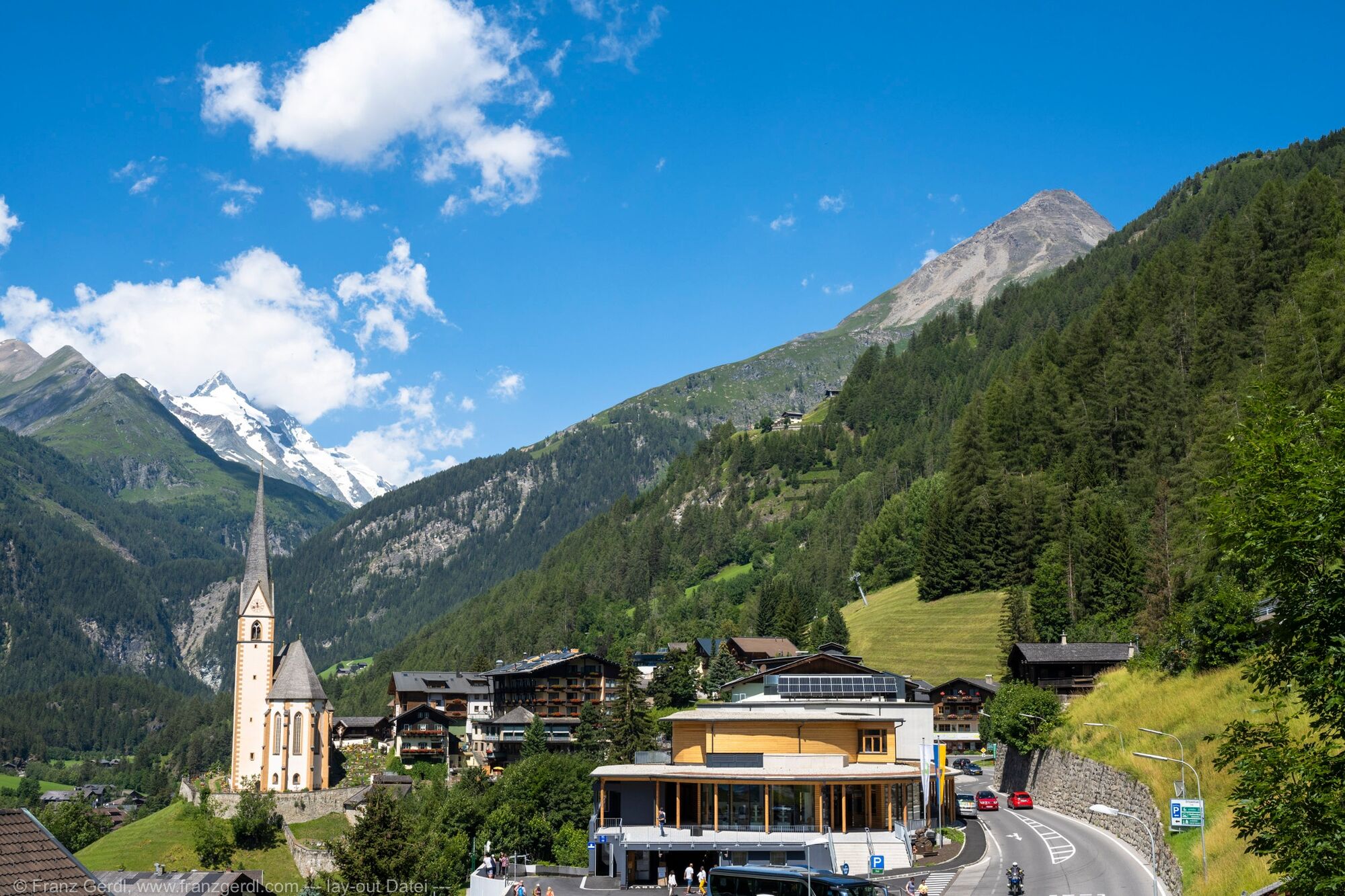
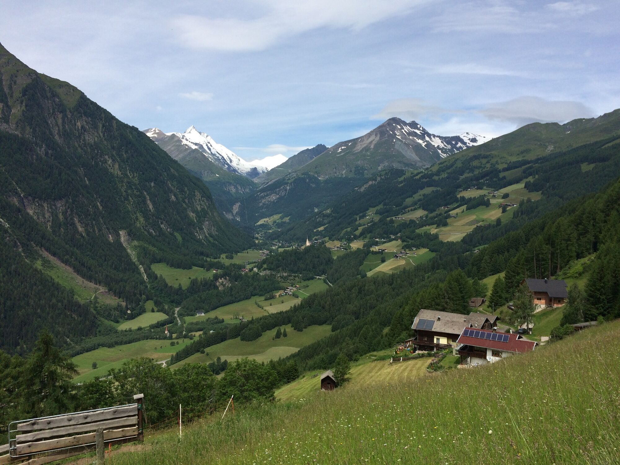
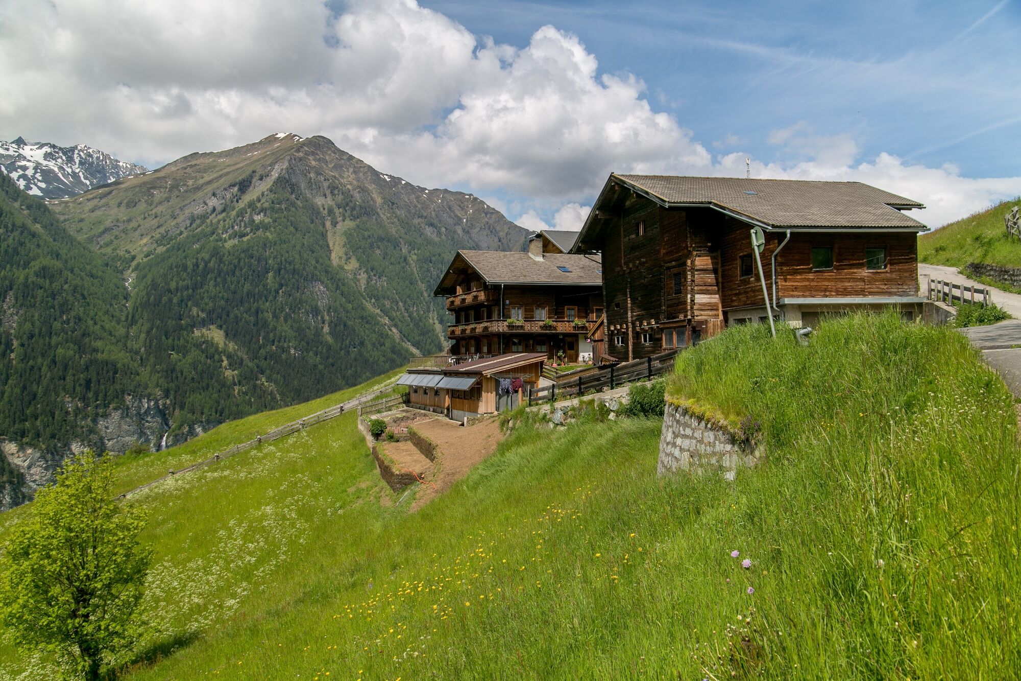
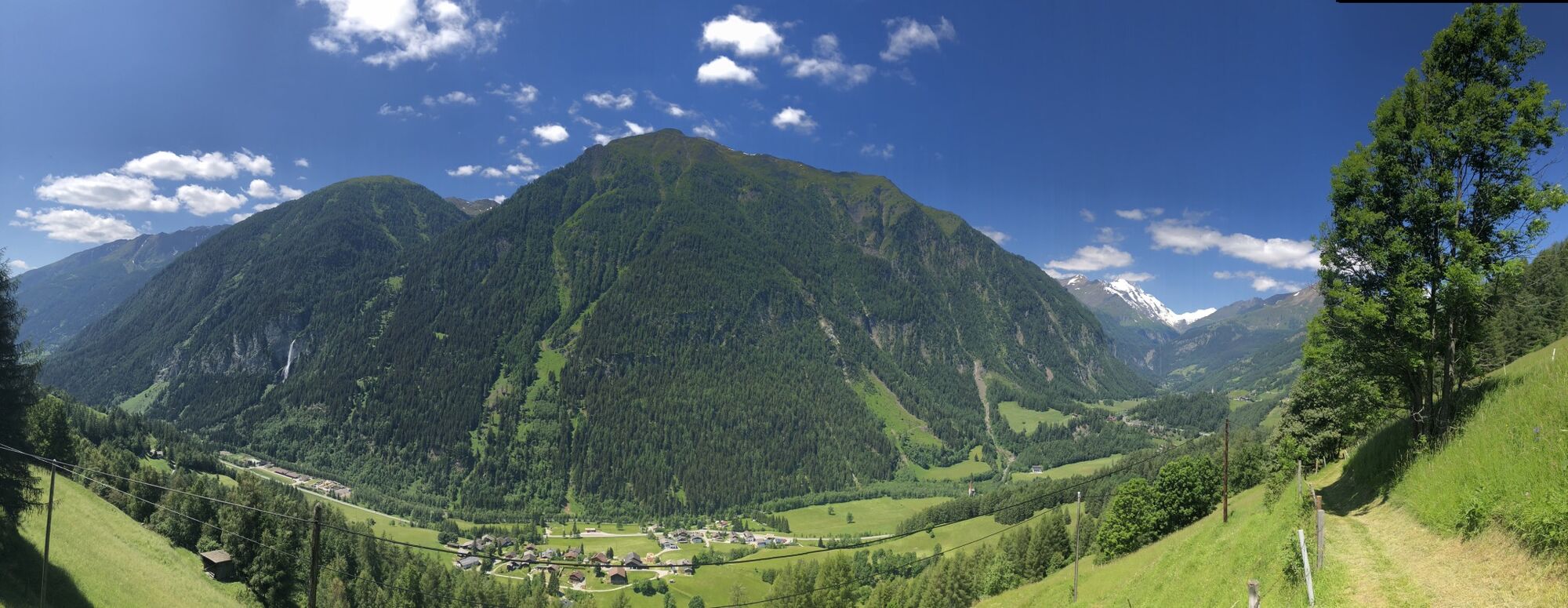
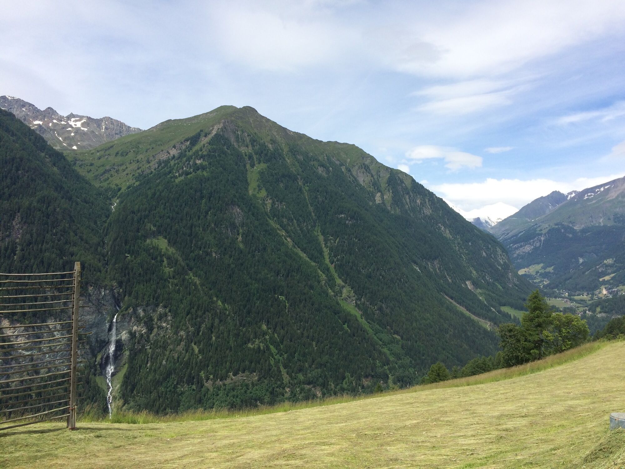
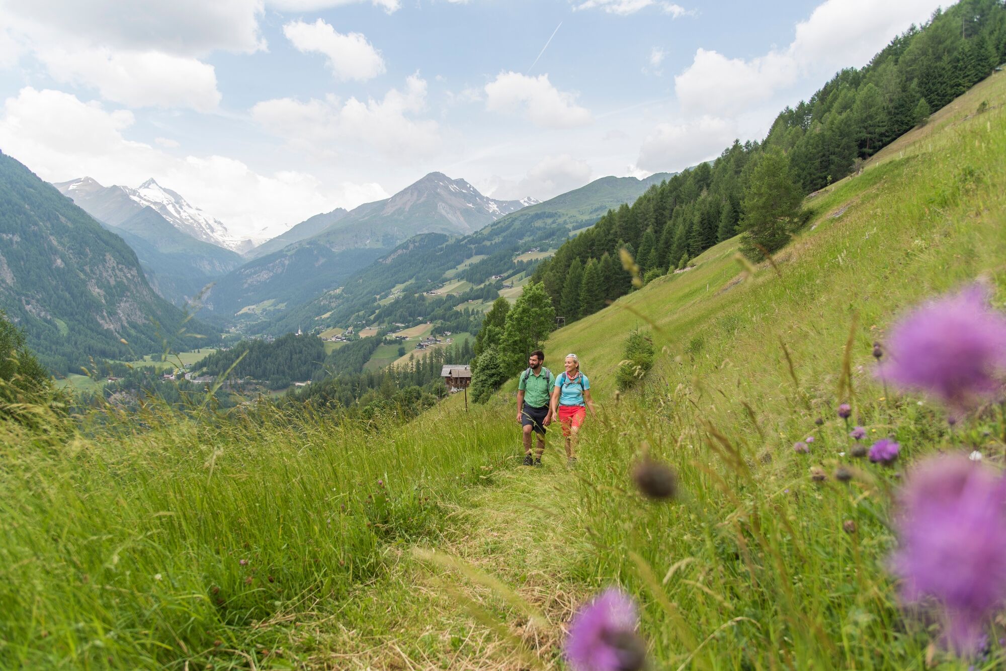
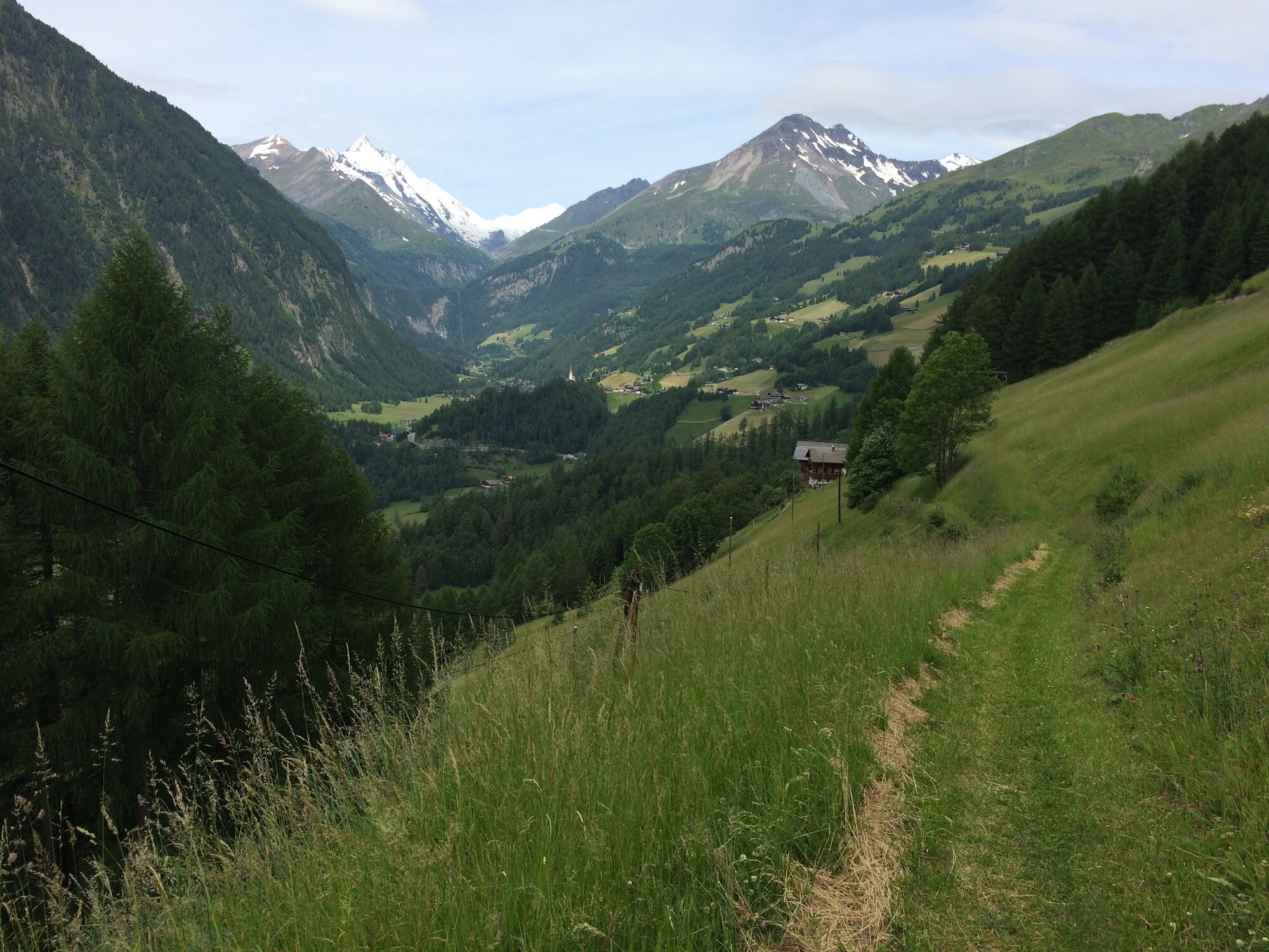
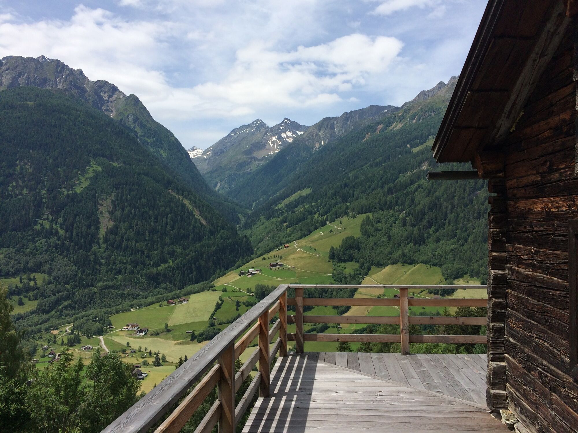
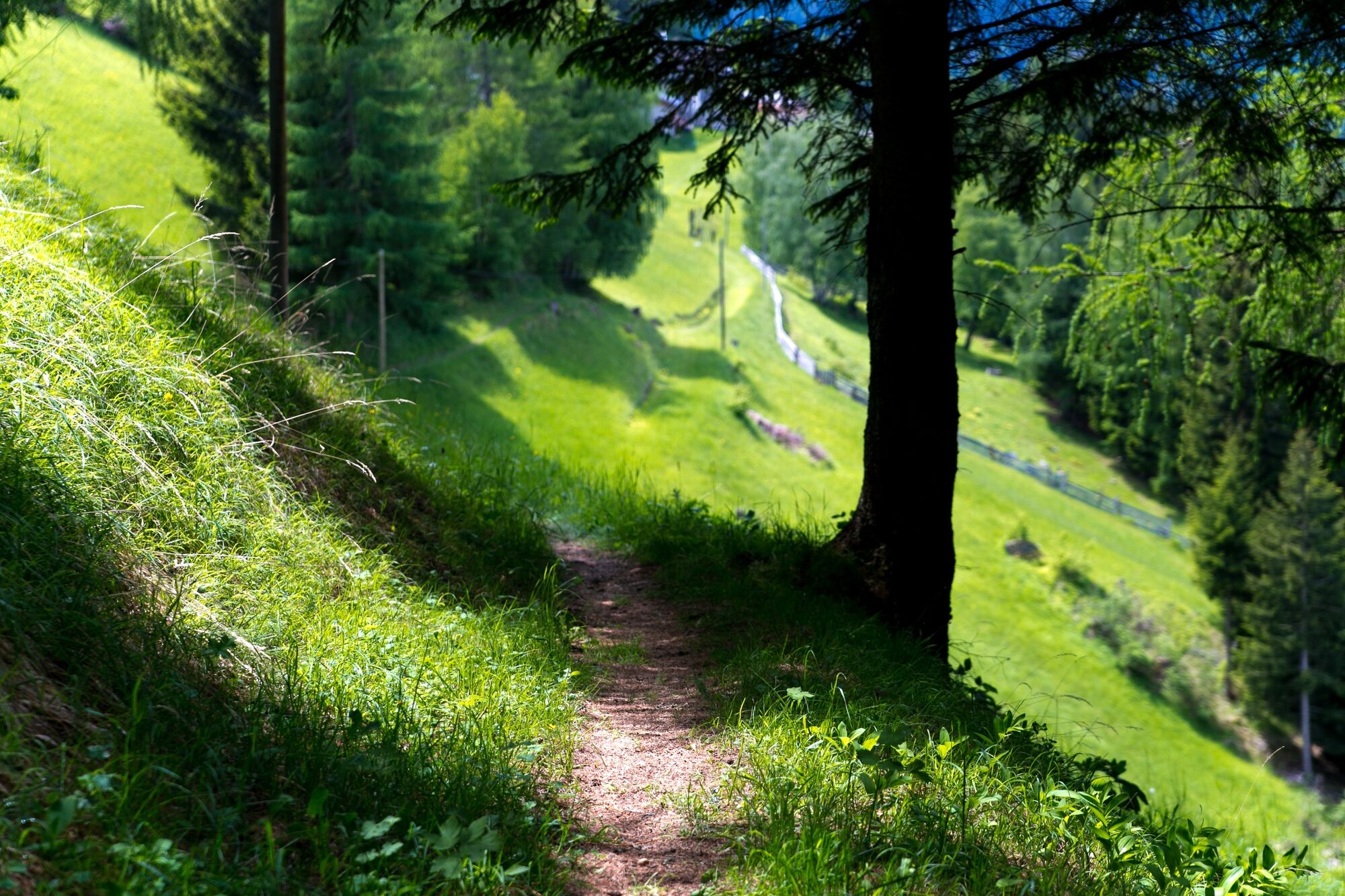
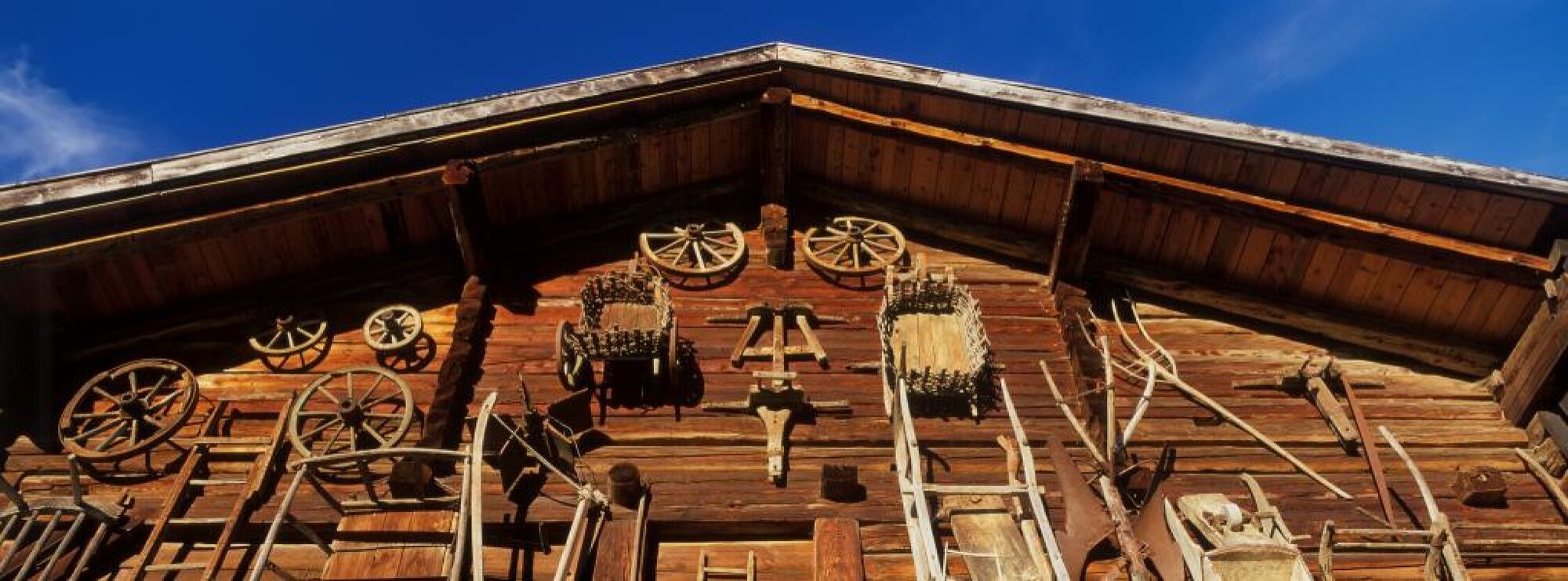
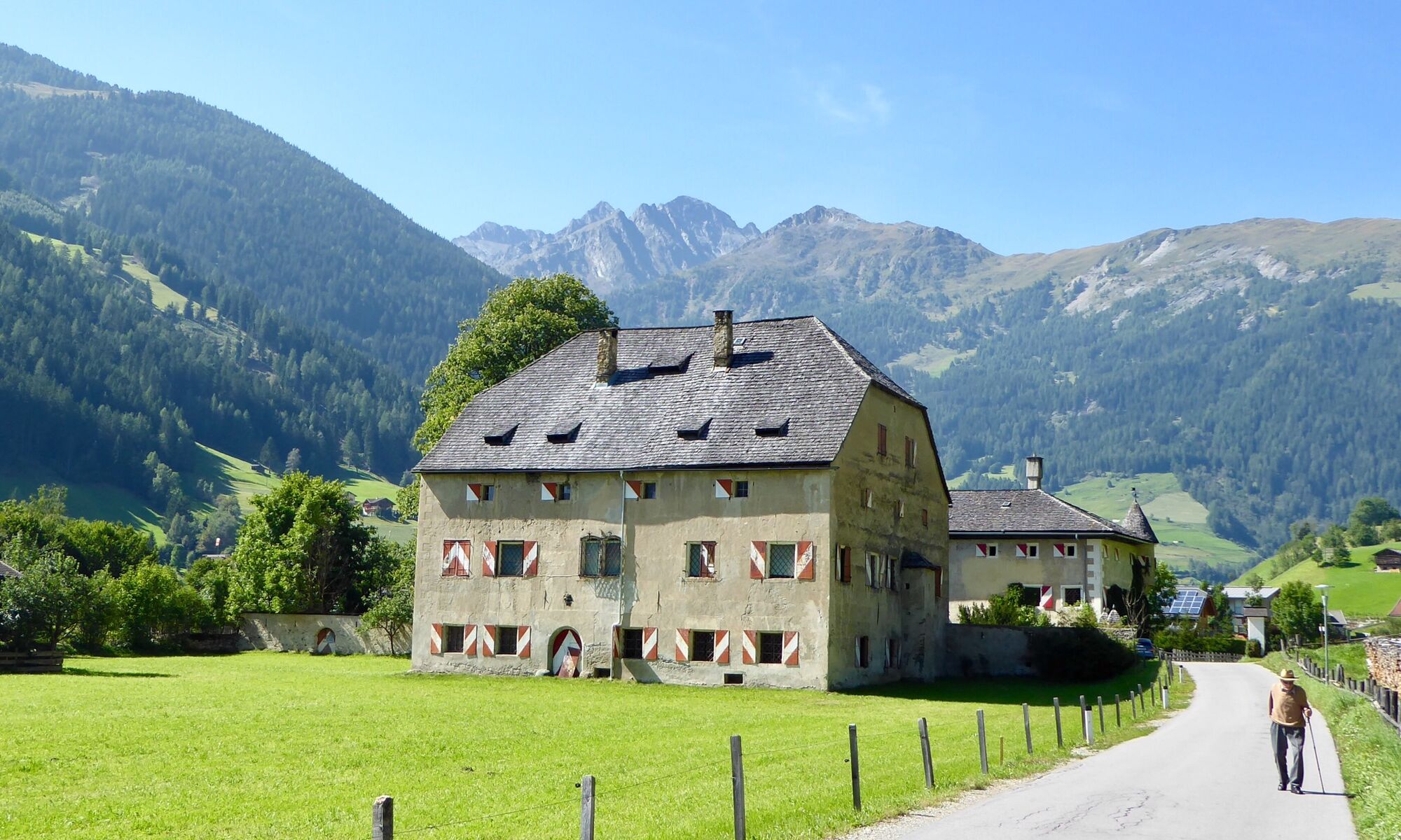
Explore the unspoiled natural landscape of the central area and the cultural landscape of the mountain farms in the outlying area. On this stage you will discover the two main elements of the Hohe Tauern National Park: gems of agricultural timber construction such as the Apriach group of mills and Mentlhof showcase farm, and glorious views of the Grossglockner and mighty Jungfernsprung waterfall.
- Difficulté
-
facile
- Évaluation
-
- Parcours
-
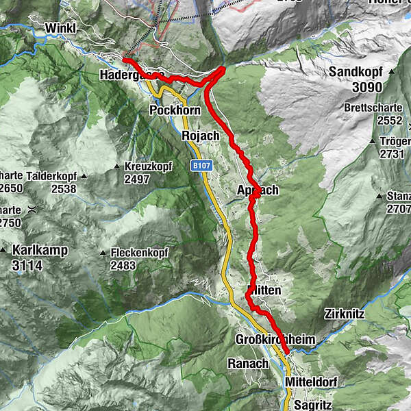
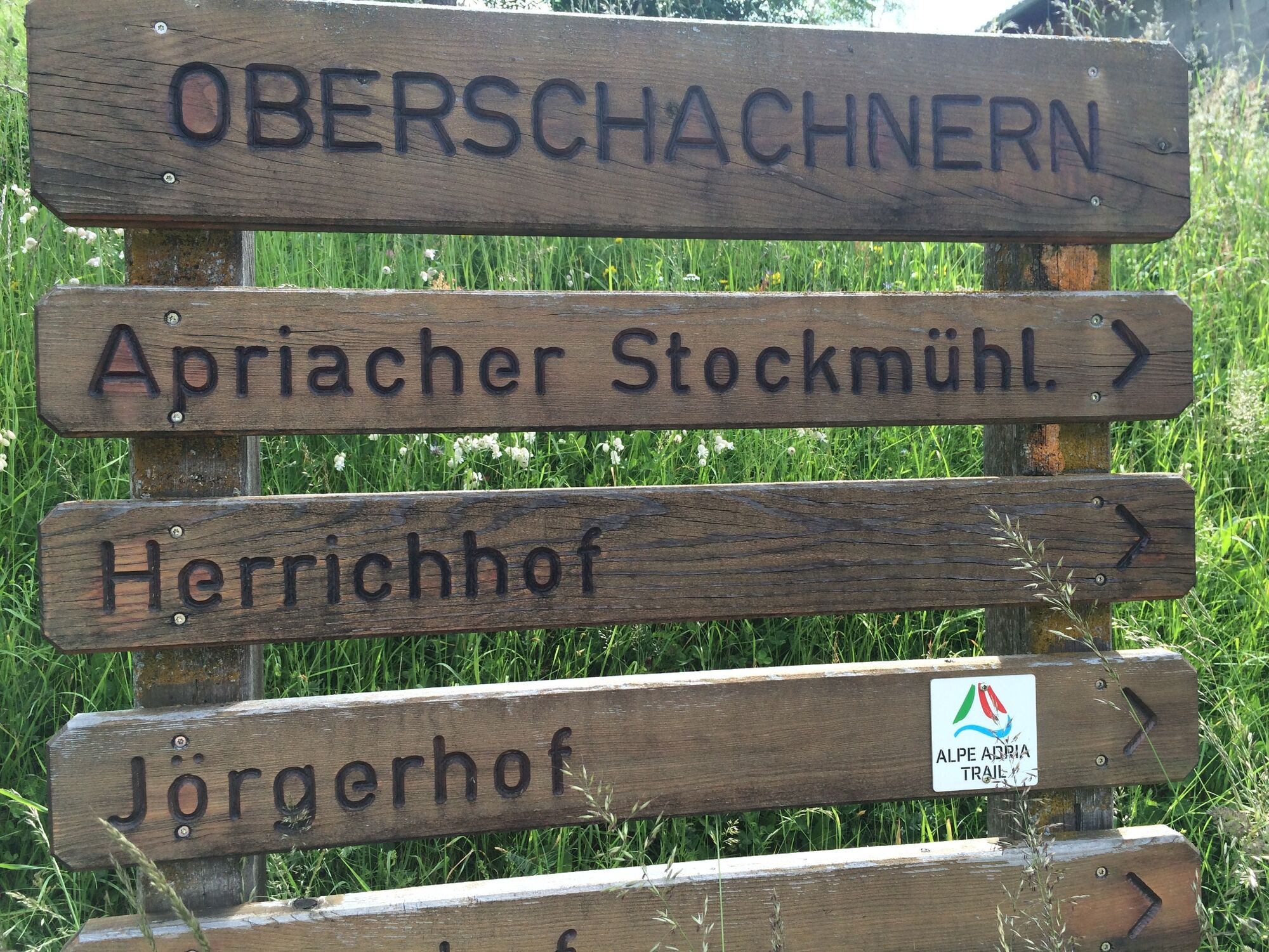
Kirchenwirt0,0 kmHeiligenblut0,1 kmHof0,1 kmRupertihaus0,2 kmHadergasse0,5 kmWolkersdorf2,0 kmFleiß2,2 kmFleißkapelle3,9 kmSchachnern5,8 kmApriach7,5 kmMitten10,5 kmGroßkirchheim12,4 kmDöllach12,7 kmHotel Post12,7 km
- Meilleure saison
-
janv.févr.marsavrilmaijuinjuil.aoûtsept.oct.nov.déc.
- Hauteur maximale
- 1.570 m
- Point de mire
-
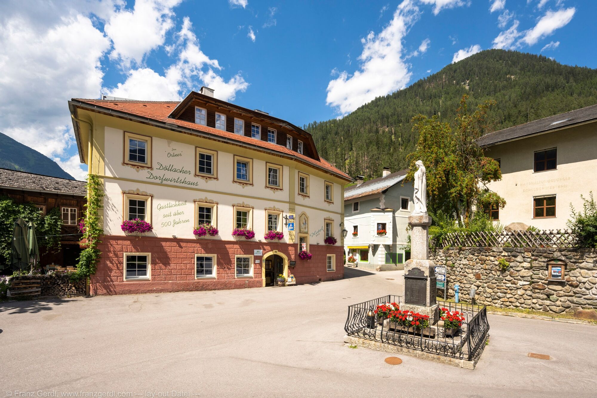
Großkirchheim, Ortschaft Döllach
- Profil en hauteur
-


- Auteur
-
La randonnée ST02 AAT: Heiligenblut - Döllach est utilisé par outdooractive.com fourni par.
GPS Downloads


Informations générales
Point de rassemblement
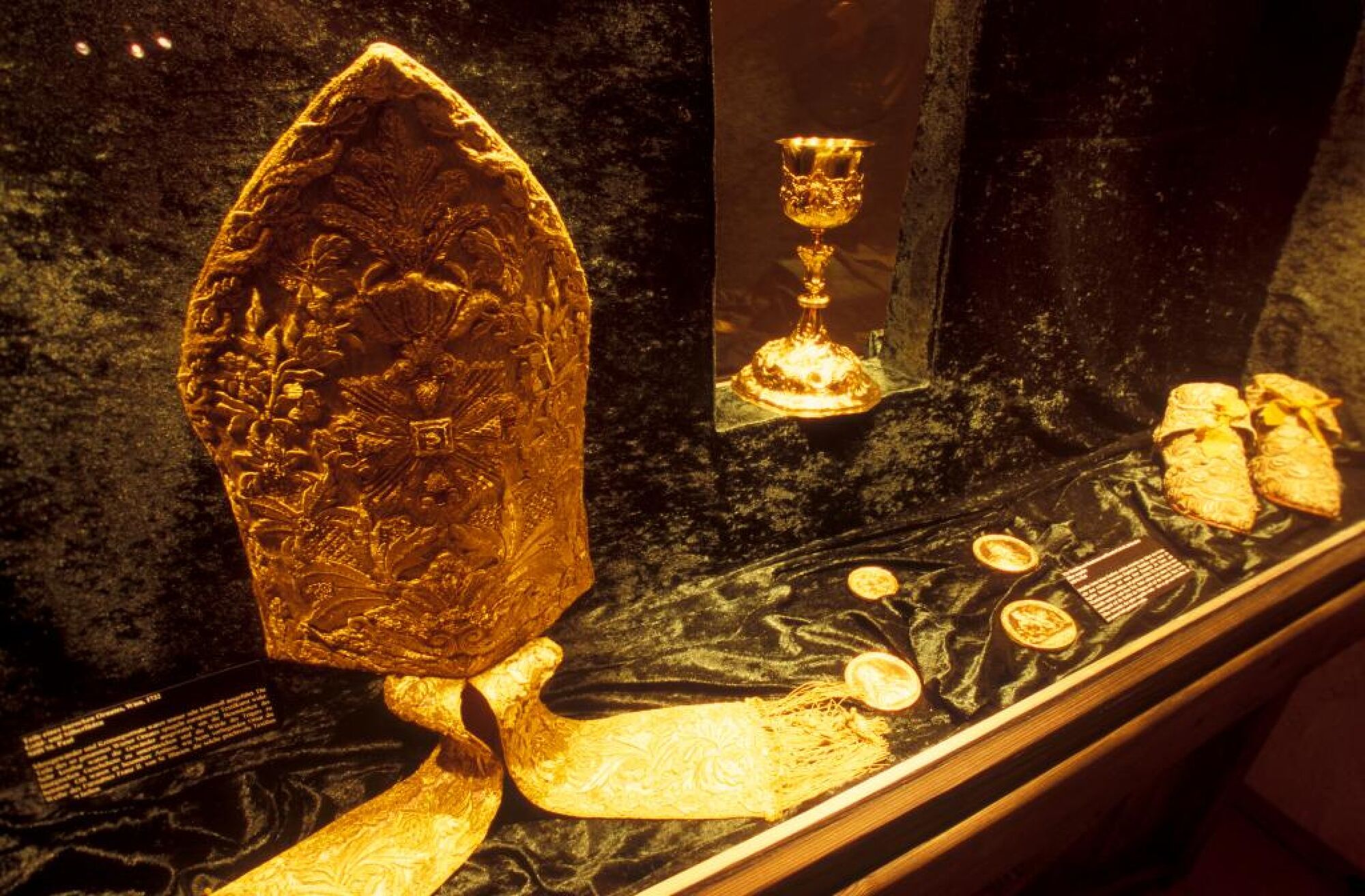
Culturel/Historiquement
Prometteur
Autres parcours dans les régions