© Andrea Badrutt
© Engadin Samnaun Val Müstair - Andrea Badrutt, Chur
© Engadin Samnaun Val Müstair - Andrea Badrutt, Chur.

- Brève description
-
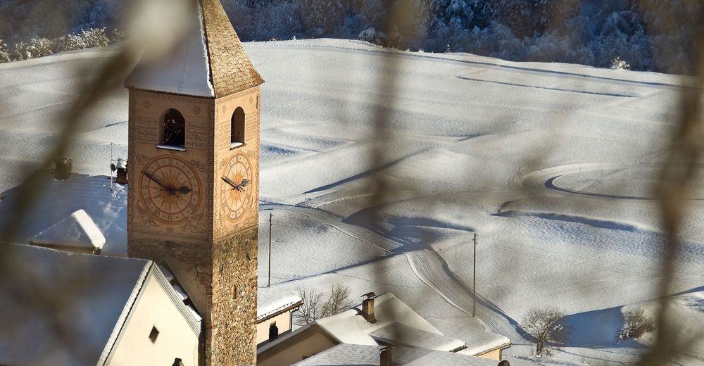
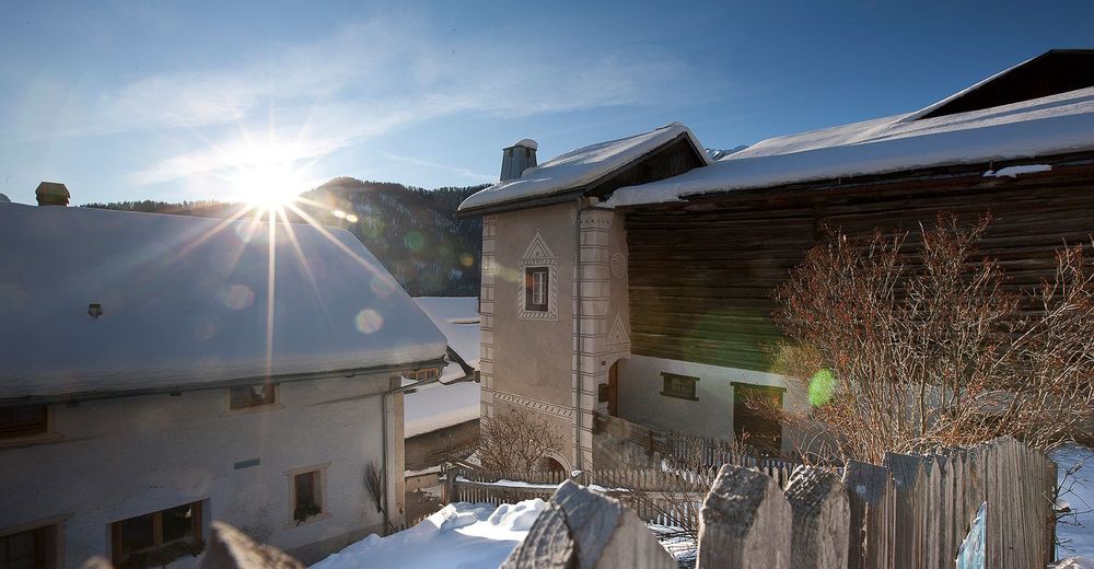
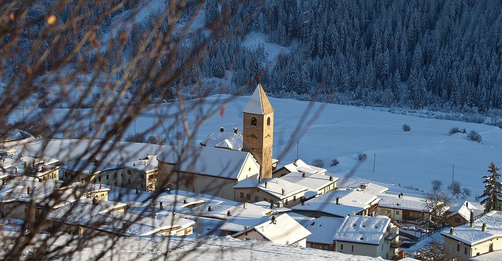
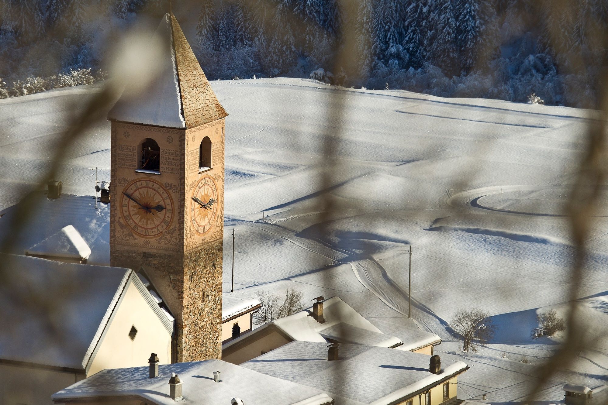
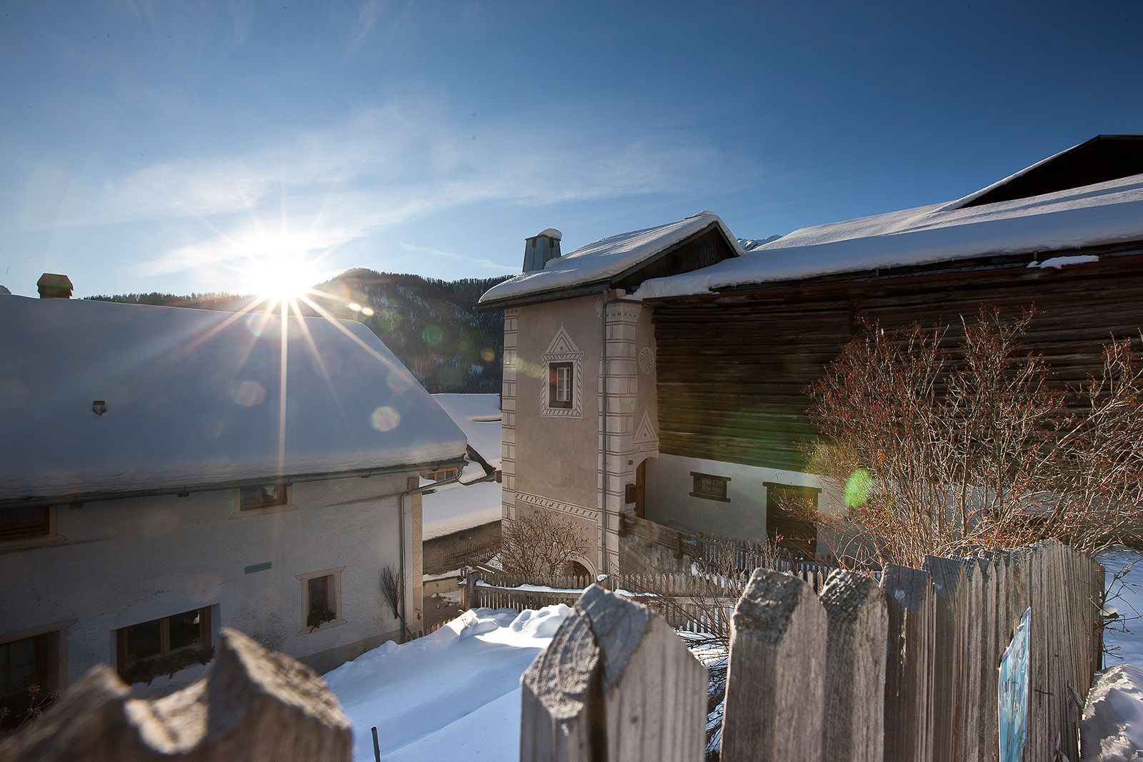
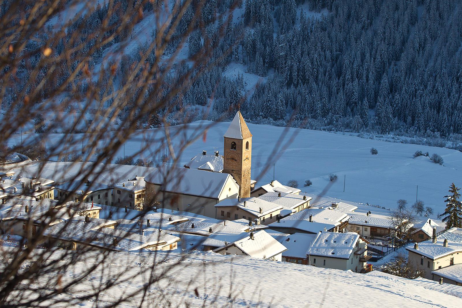
A winter hike from the mountain village of Vnà over the snow-covered terraced landscape to Ramosch, with spectacular views, mostly downhill. Sledging and the optional extension of the hike via Martinatsch are possible.
- Difficulté
-
facile
- Évaluation
-
- Parcours
-
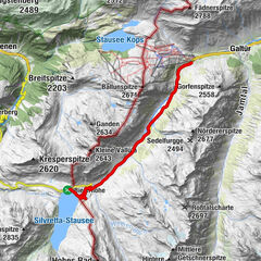
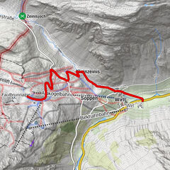
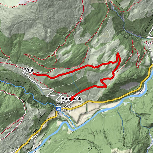
VnàRamosch (1.236 m)6,4 kmFlorinuskirche6,6 km
- Meilleure saison
-
aoûtsept.oct.nov.déc.janv.févr.marsavrilmaijuinjuil.
- Hauteur maximale
- 1.674 m
- Point de mire
-
PostBus stop Vnà, Jalmèr
- Profil en hauteur
-
 © outdooractive.com
- Auteur
-
La randonnée Vnà – Ramosch est utilisé par outdooractive.com fourni par.
GPS Downloads


Informations générales
Prometteur
Autres parcours dans les régions
-
Vinschgau
54
-
Engadin Scuol Zernez
109
-
Ramosch-Vnà
32