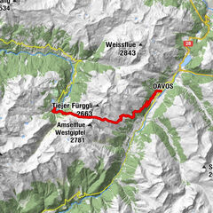
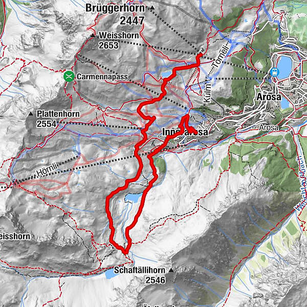
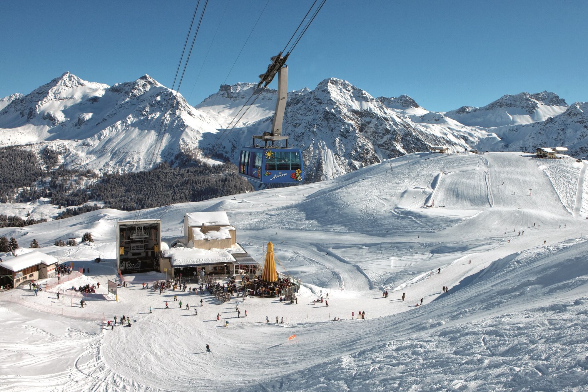
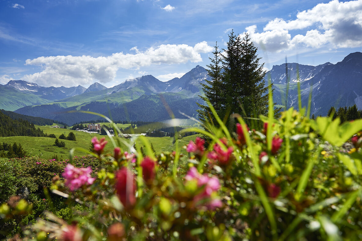
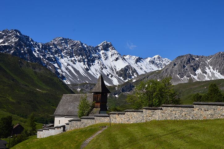
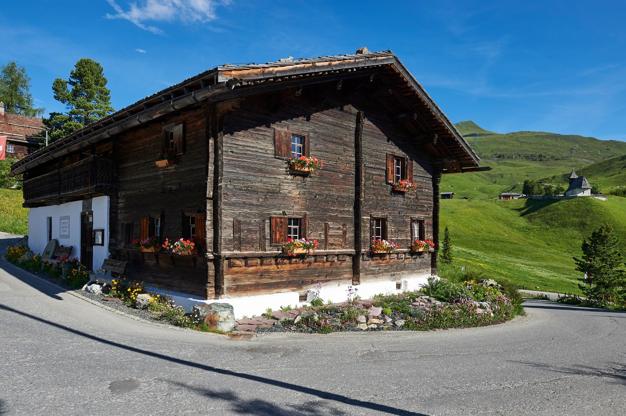
Middle station Arosa Weisshorn - Schwellisee lake - Mountain Chapel - Innerarosa

Randonnée

© Arosa Lenzerheide - Andrea Mende

© Arosa Lenzerheide - Andrea Mende

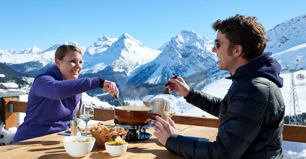
© Arosa Lenzerheide - Arosa Tourismus

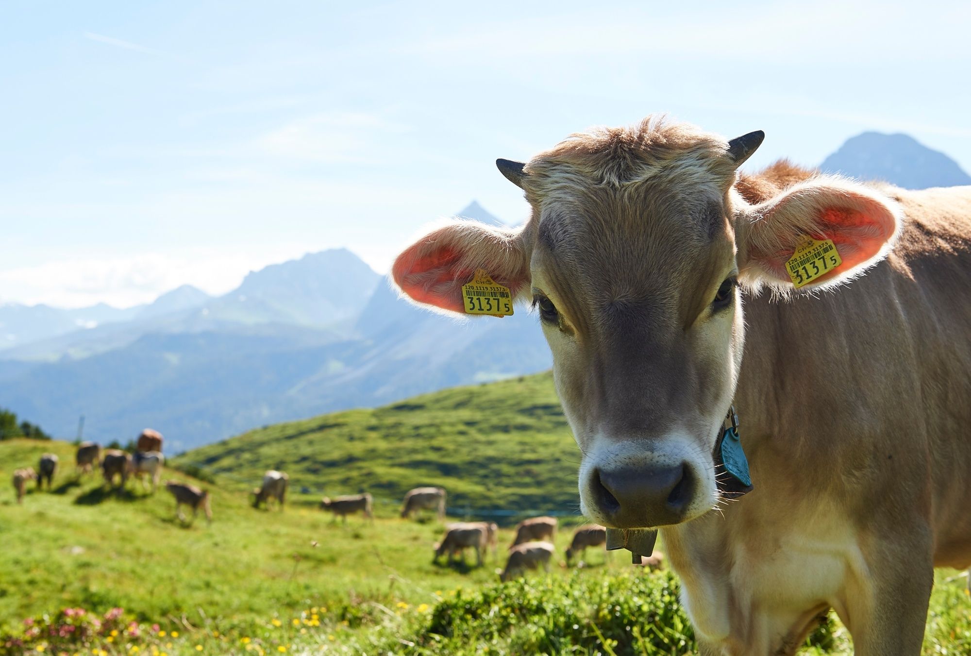
© Arosa Lenzerheide - Nina Mattli
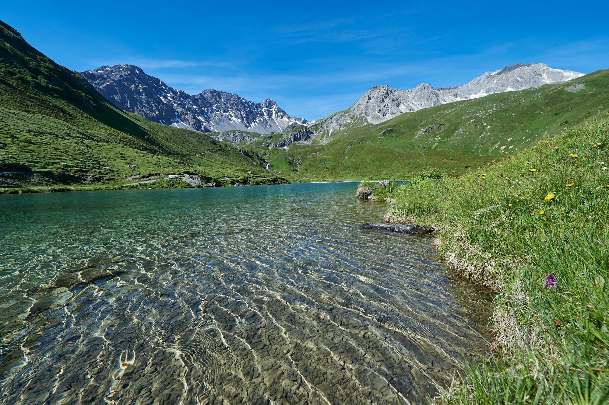
© Arosa Lenzerheide - Arosa Tourismus

© Arosa Lenzerheide - Arosa Tourismus

© Arosa Lenzerheide - Arosa Tourismus

© Arosa Lenzerheide - Arosa Tourismus

- Brève description
-
A relaxed hike from the Weisshorn middle station to the mountain chapel and the local history museum - the two cultural highlights of Arosa.
- Parcours
-
Mitterer HütteBrüggerstuba0,0 kmAlpenblick2,8 kmInnerarosa (1.820 m)7,9 km
- Meilleure saison
-
janv.févr.marsavrilmaijuinjuil.aoûtsept.oct.nov.déc.
- Hauteur maximale
- 2.066 m
- Point de mire
-
Innerarosa
- Profil en hauteur
-
 © outdooractive.com
- Auteur
-
La randonnée Middle station Arosa Weisshorn - Schwellisee lake - Mountain Chapel - Innerarosa est utilisé par outdooractive.com fourni par.
GPS Downloads


Informations générales
Point de rassemblement
Culturel/Historiquement
Autres parcours dans les régions
-
Arosa Lenzerheide
816
-
Hochwang
281