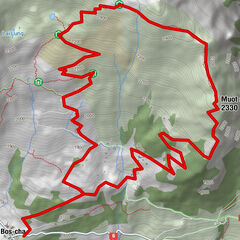
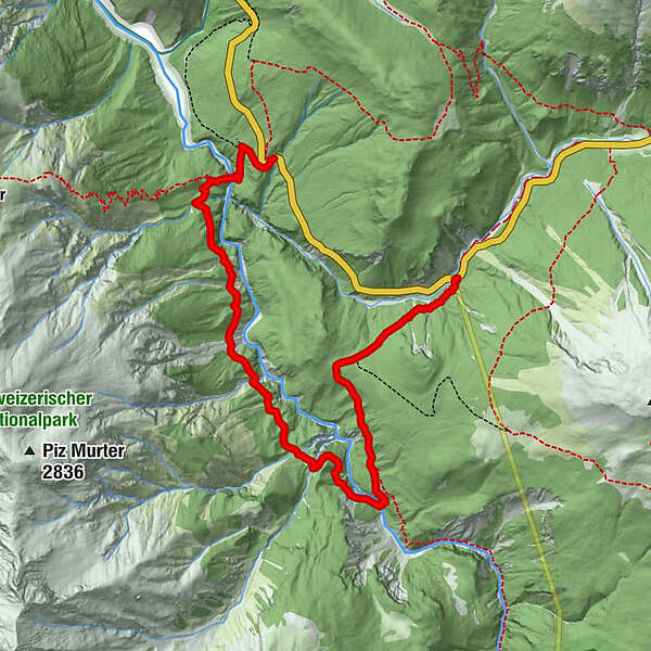
National Park: Peaceful Hike through the Spöltal Valley

Randonnée

© Engadin Samnaun Val Müstair - Schweizerischer Nationalpark, Hans Lozza

© Engadin Samnaun Val Müstair - Schweizerischer Nationalpark, Hans Lozza

© Engadin Samnaun Val Müstair - Schweizerischer Nationalpark, Hans Lozza

- Brève description
-
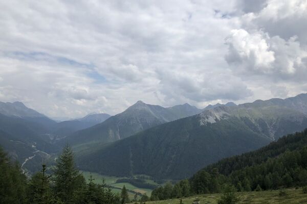
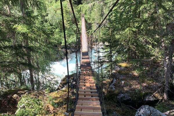
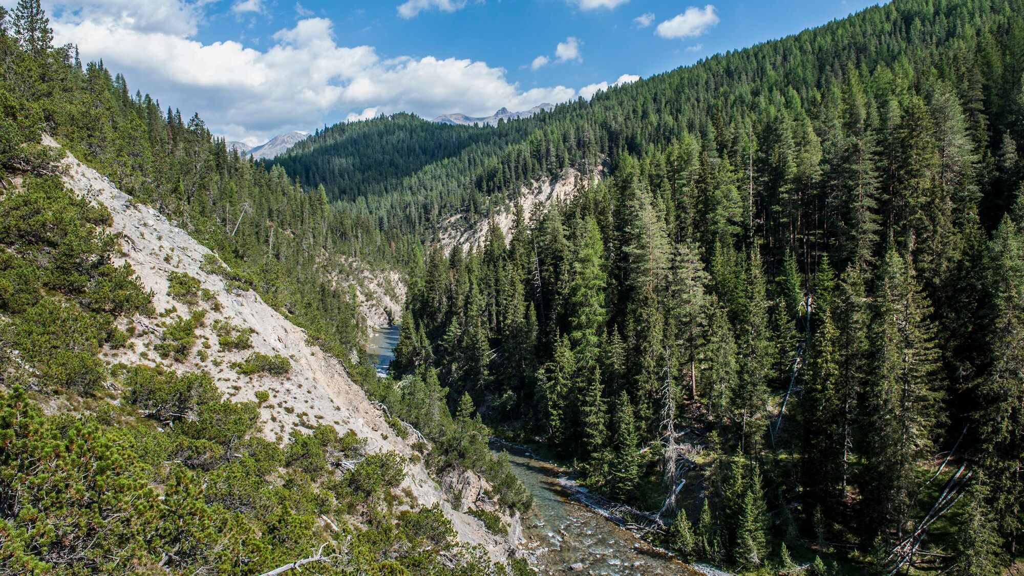
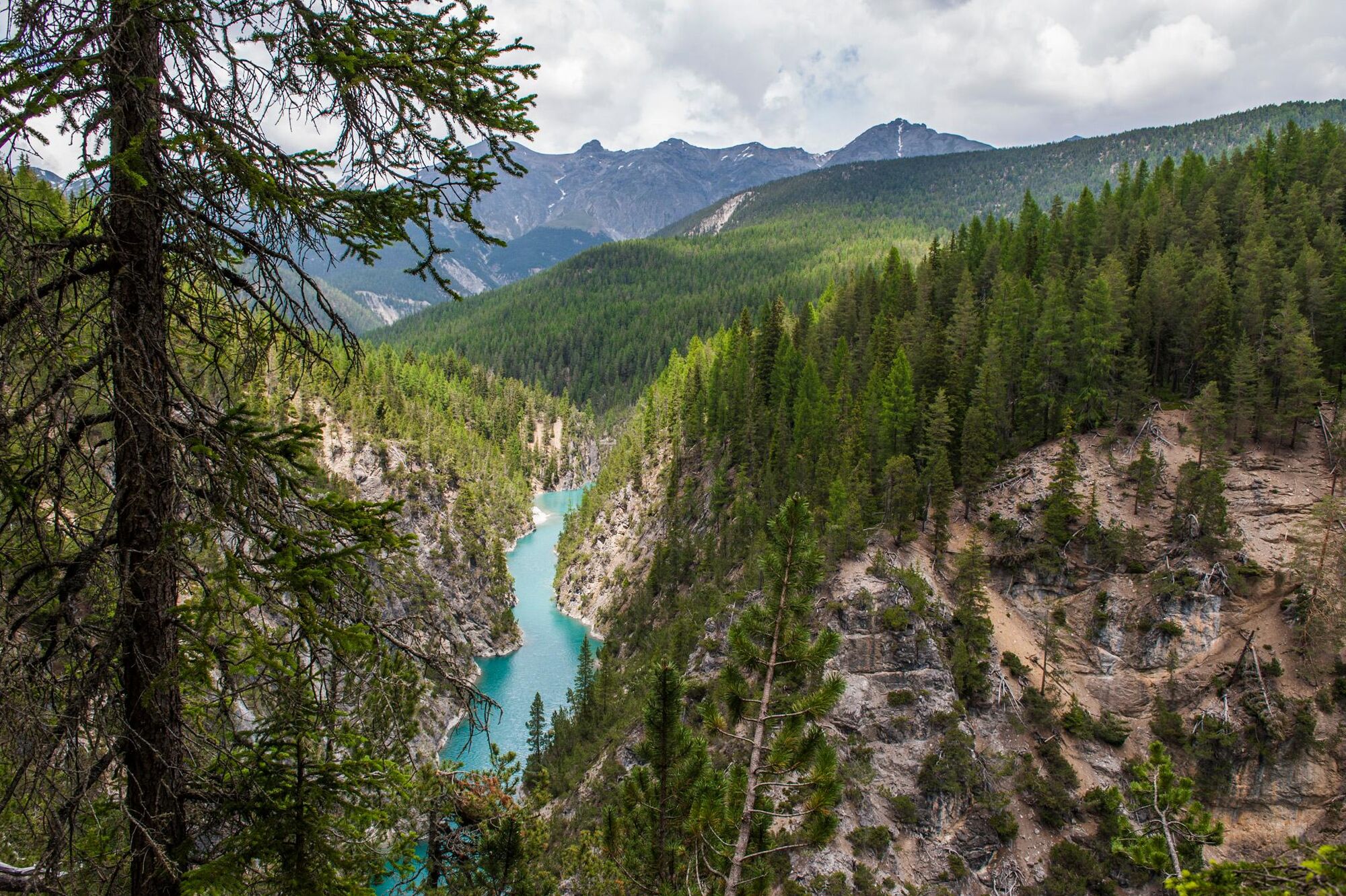
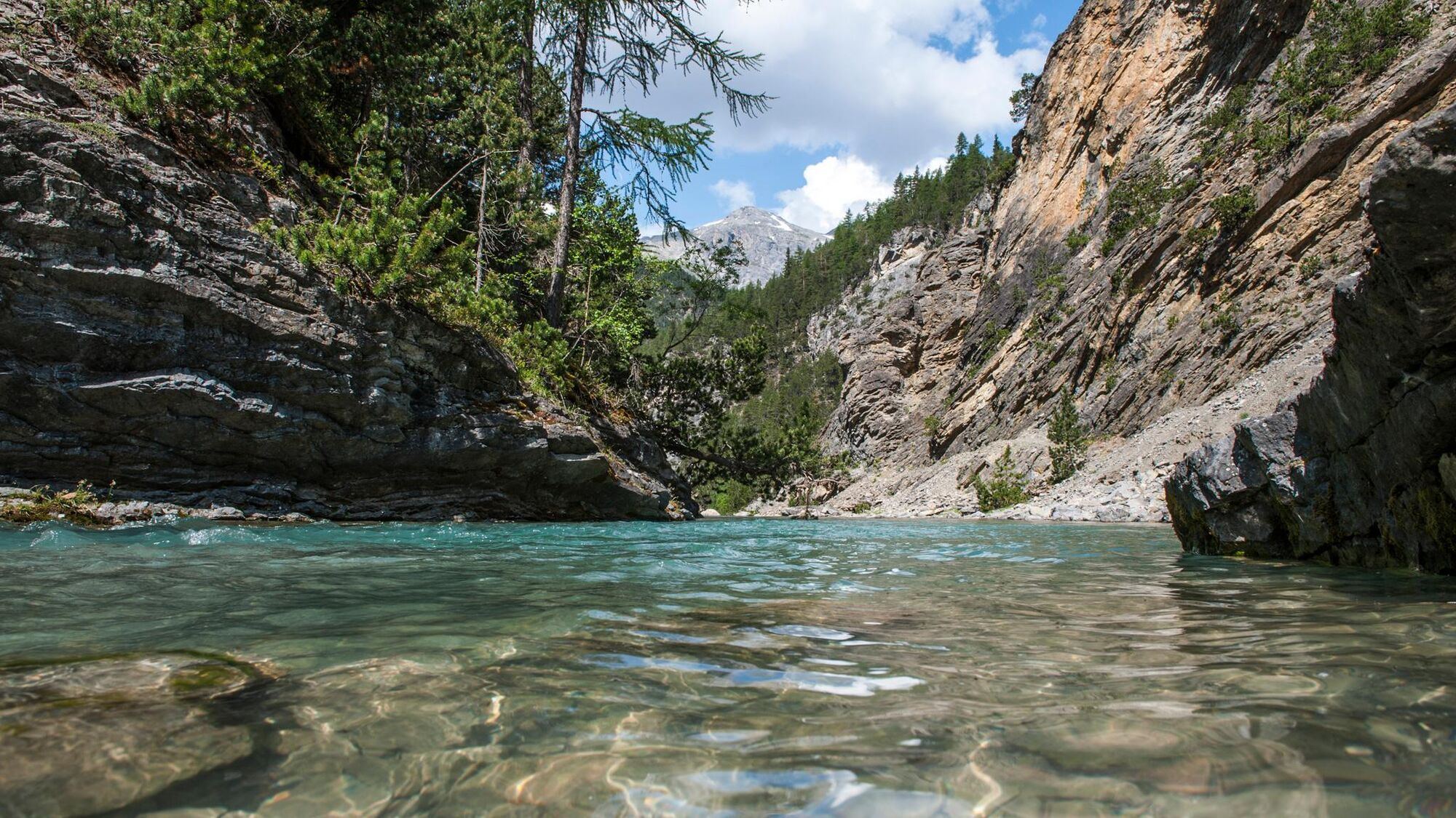
Leisurely hike for connoisseurs who want to escape the hustle and bustle of the classic national park trails and instead experience the power of the water and the tranquillity of the forest. A beautiful tour through the valley of the Spöl even in bad weather.
- Difficulté
-
moyen
- Évaluation
-
- Meilleure saison
-
janv.févr.marsavrilmaijuinjuil.aoûtsept.oct.nov.déc.
- Hauteur maximale
- 1.824 m
- Point de mire
-
PostBus stop Punt la Drossa P4
- Profil en hauteur
-
 © outdooractive.com
- Auteur
-
La randonnée National Park: Peaceful Hike through the Spöltal Valley est utilisé par outdooractive.com fourni par.
GPS Downloads


Informations générales
Culturel/Historiquement
Secret
Flore
Faune
Autres parcours dans les régions
-
Biosfera Val Müstair
566
-
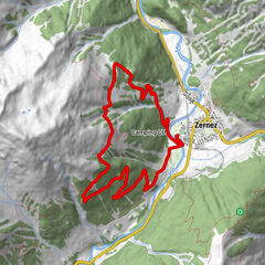
Zernez
138