- Brève description
-
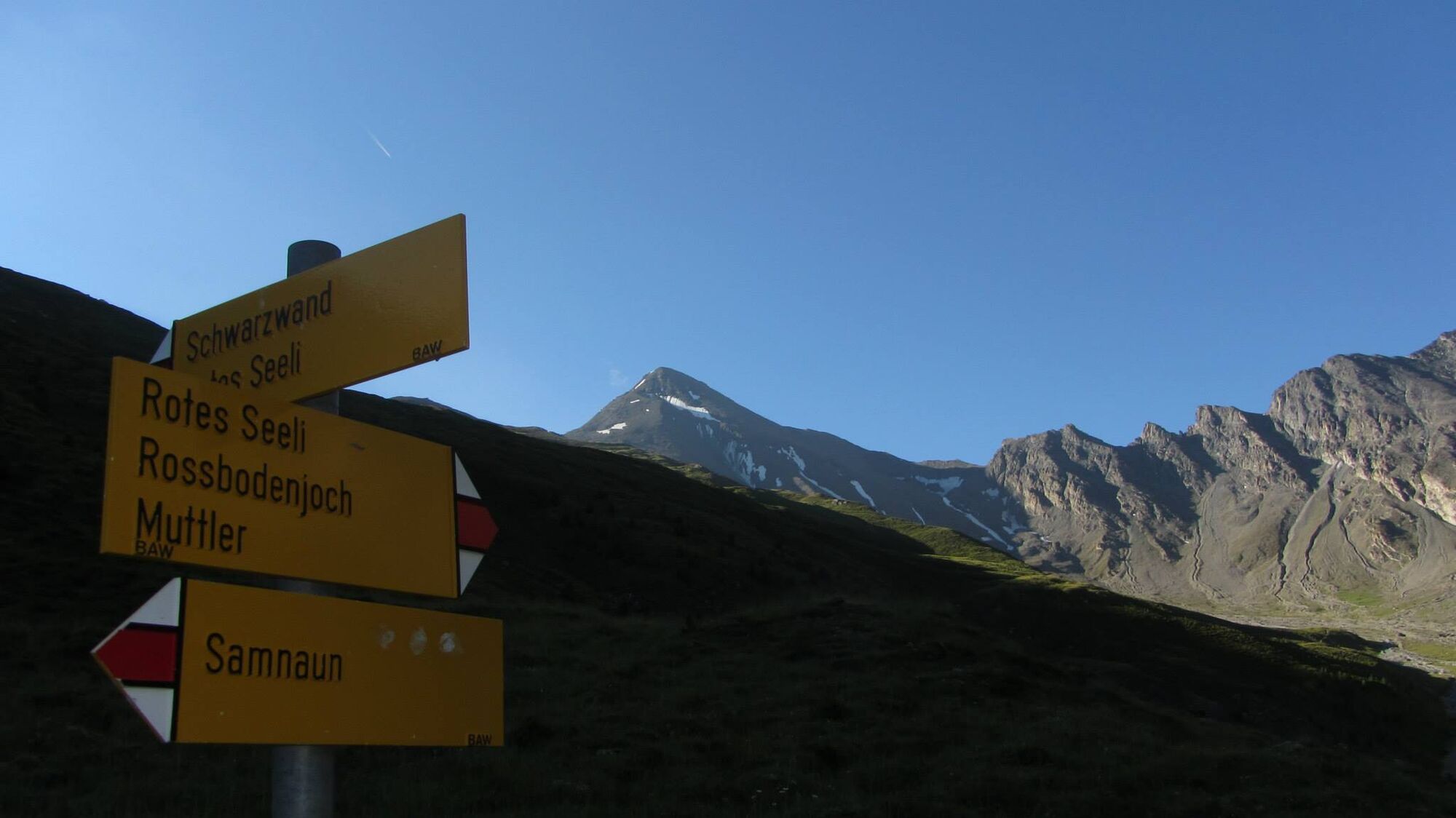
Hike in Val Maisas, south of Samnaun, to the Rote Seeli. This small lake used to turn red in the summer months due to algae, but now the pond is often almost dried out in summer, so that the phenomenon can no longer be observed.
- Difficulté
-
moyen
- Évaluation
-
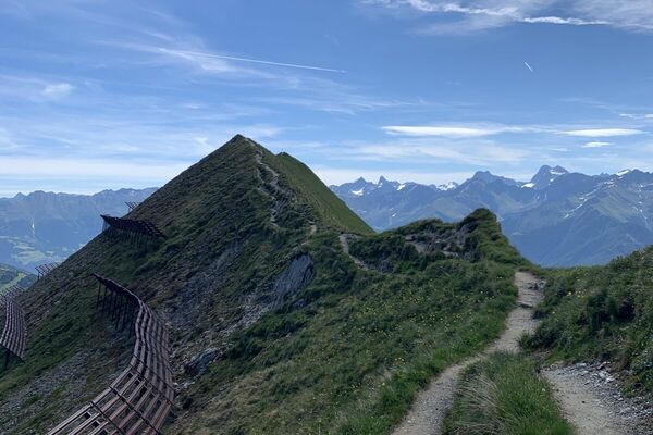
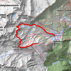
- Parcours
-
El Rico0,1 kmSamnaun (1.846 m)0,2 kmSamnaun (1.846 m)11,5 kmEl Rico11,8 km
- Meilleure saison
-
janv.févr.marsavrilmaijuinjuil.aoûtsept.oct.nov.déc.
- Hauteur maximale
- 2.745 m
- Point de mire
-
PostBus stop Samnaun-Dorf, Post
- Profil en hauteur
-
 © outdooractive.com

- Auteur
-
La randonnée Rossbodenjoch Round Hike est utilisé par outdooractive.com fourni par.
GPS Downloads


Informations générales
Flore
Faune
Prometteur