© Davos Klosters Mountains - Jo Hüchelheim
© Davos Klosters Mountains - Jo Hüchelheim

- Brève description
-
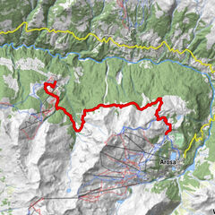
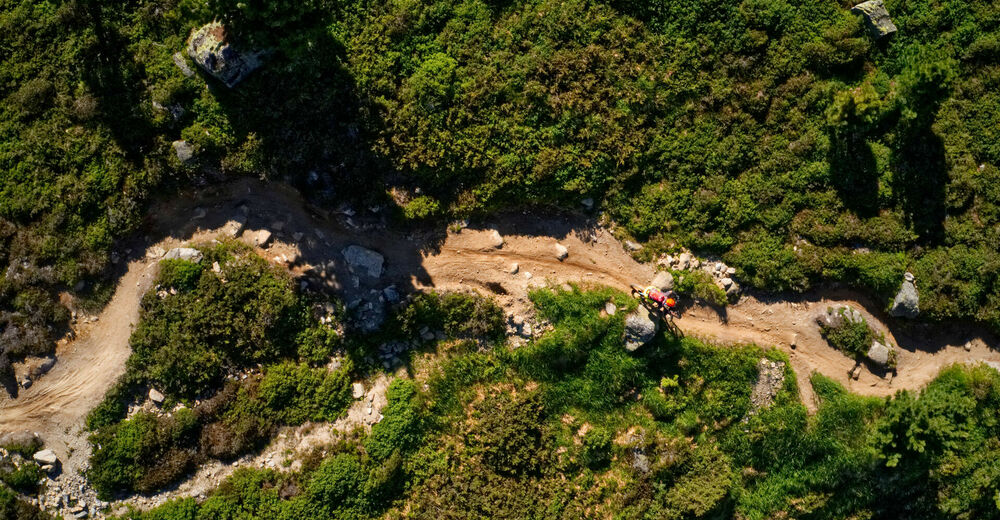
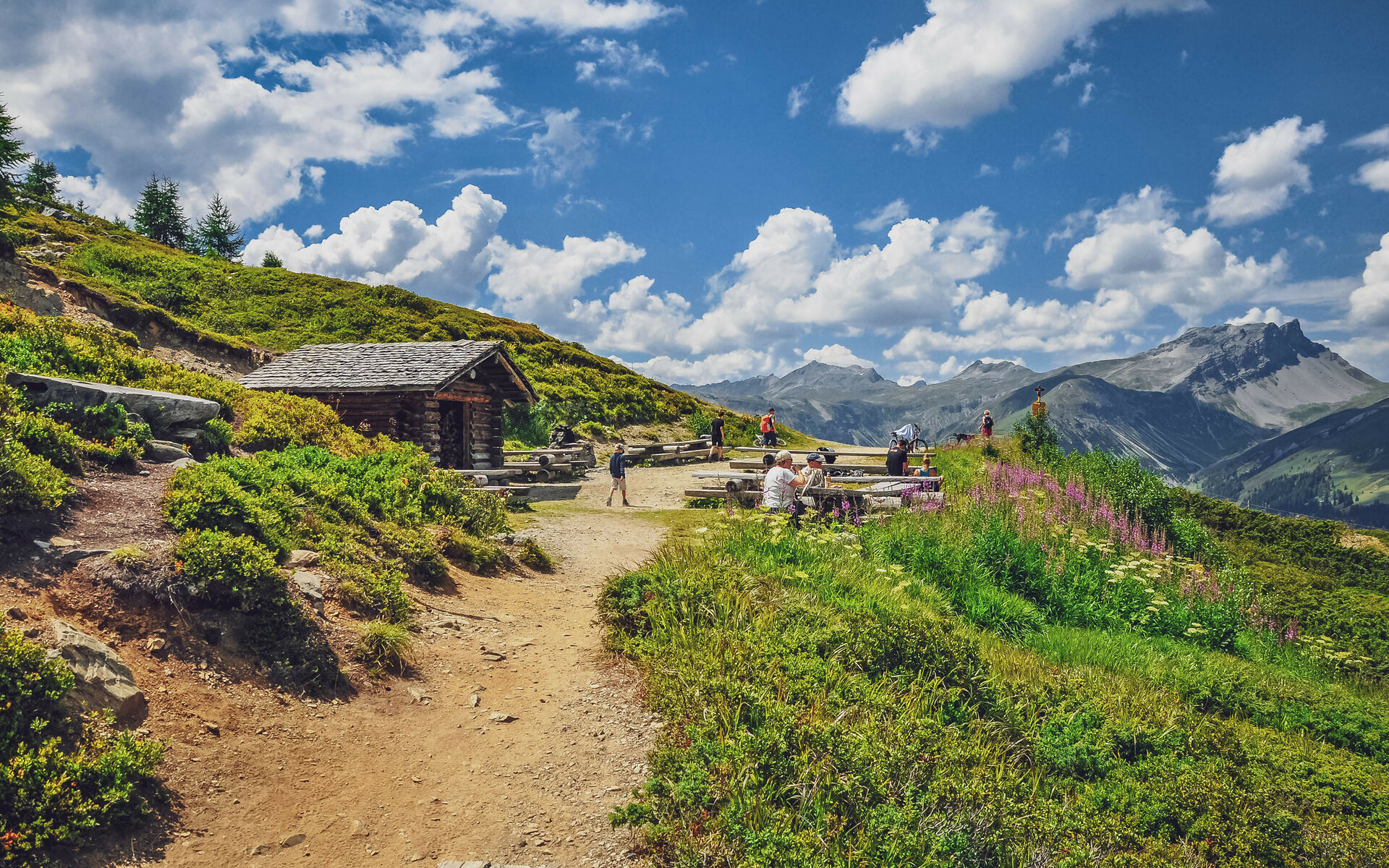
This hiking route starts at the Rinerhorn mountain station and leads along a beautiful and varied hiking trail into the picturesque Sertig valley.
- Difficulté
-
moyen
- Évaluation
-
- Parcours
-
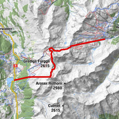
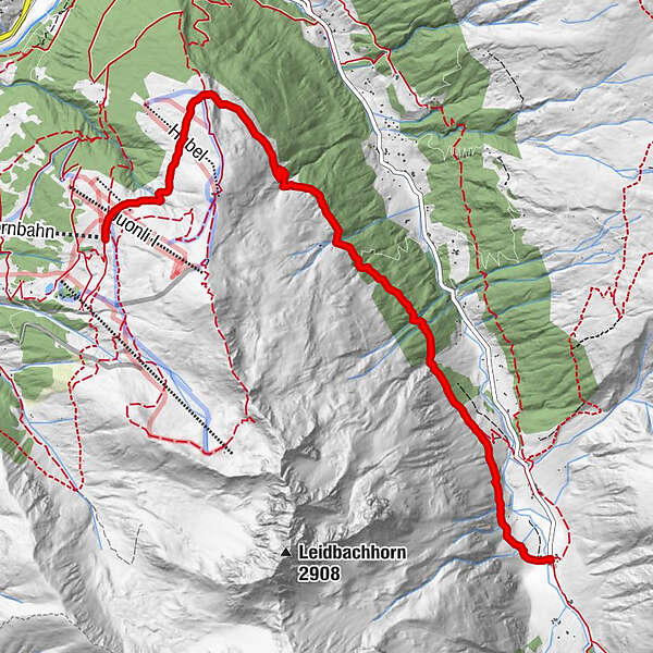
Jatzmäder (2.054 m)Jatzmeder (2.060 m)0,0 kmWunder-Bar (2.054 m)0,1 kmBergrestaurant Jatzmeder (2.054 m)0,1 kmÄbirügg (2.107 m)1,6 kmWalserhuus7,2 km
- Meilleure saison
-
janv.févr.marsavrilmaijuinjuil.aoûtsept.oct.nov.déc.
- Hauteur maximale
- 2.103 m
- Point de mire
-
Davos, Sertig
- Profil en hauteur
-
 © outdooractive.com
- Auteur
-
La randonnée Rinerhorn - Sertig Dörfli est utilisé par outdooractive.com fourni par.
GPS Downloads


Informations générales
Point de rassemblement
Prometteur
Autres parcours dans les régions
-
Davos Klosters
927
-
Davos Schatzalp
215