- Brève description
-
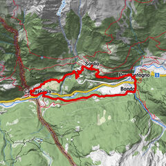
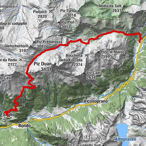
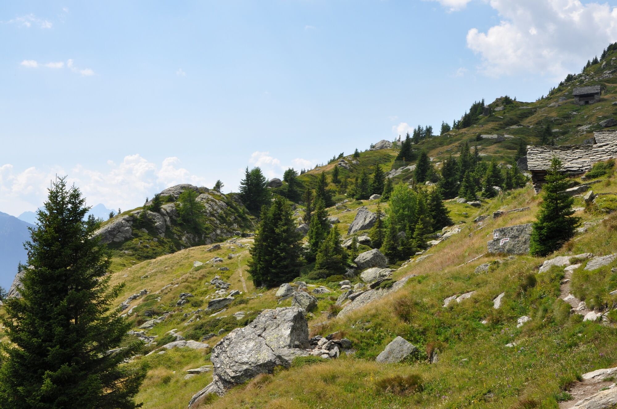
Rewarding tour from Casaccia over the Pass da la Duana with a long descent to Soglio.
- Difficulté
-
difficile
- Évaluation
-
- Parcours
-
Casaccia (1.458 m)0,3 kmMaroz Dent (2.035 m)4,9 kmPass da la Duana (2.691 m)11,7 kmCadrin (2.136 m)14,0 kmLöbbia (1.968 m)15,3 kmPlän Vest (1.822 m)16,4 kmTombal (1.545 m)17,4 kmCarnella19,0 kmLò19,3 kmSils im Bergell (1.097 m)19,4 km
- Meilleure saison
-
janv.févr.marsavrilmaijuinjuil.aoûtsept.oct.nov.déc.
- Hauteur maximale
- 2.692 m
- Point de mire
-
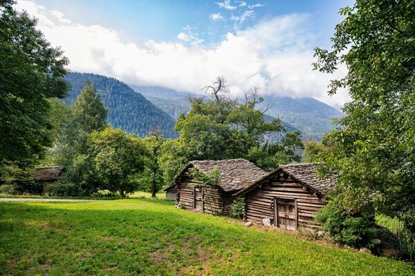
Soglio
- Profil en hauteur
-
 © outdooractive.com

- Auteur
-
La randonnée The crossing of the Pass da la Duana est utilisé par outdooractive.com fourni par.
GPS Downloads


Autres parcours dans les régions
-
Comer See
754
-
Val Bregaglia Engadin
460
-
Bregaglia
115