- Brève description
-
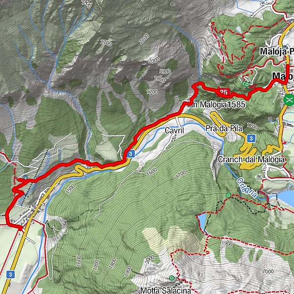
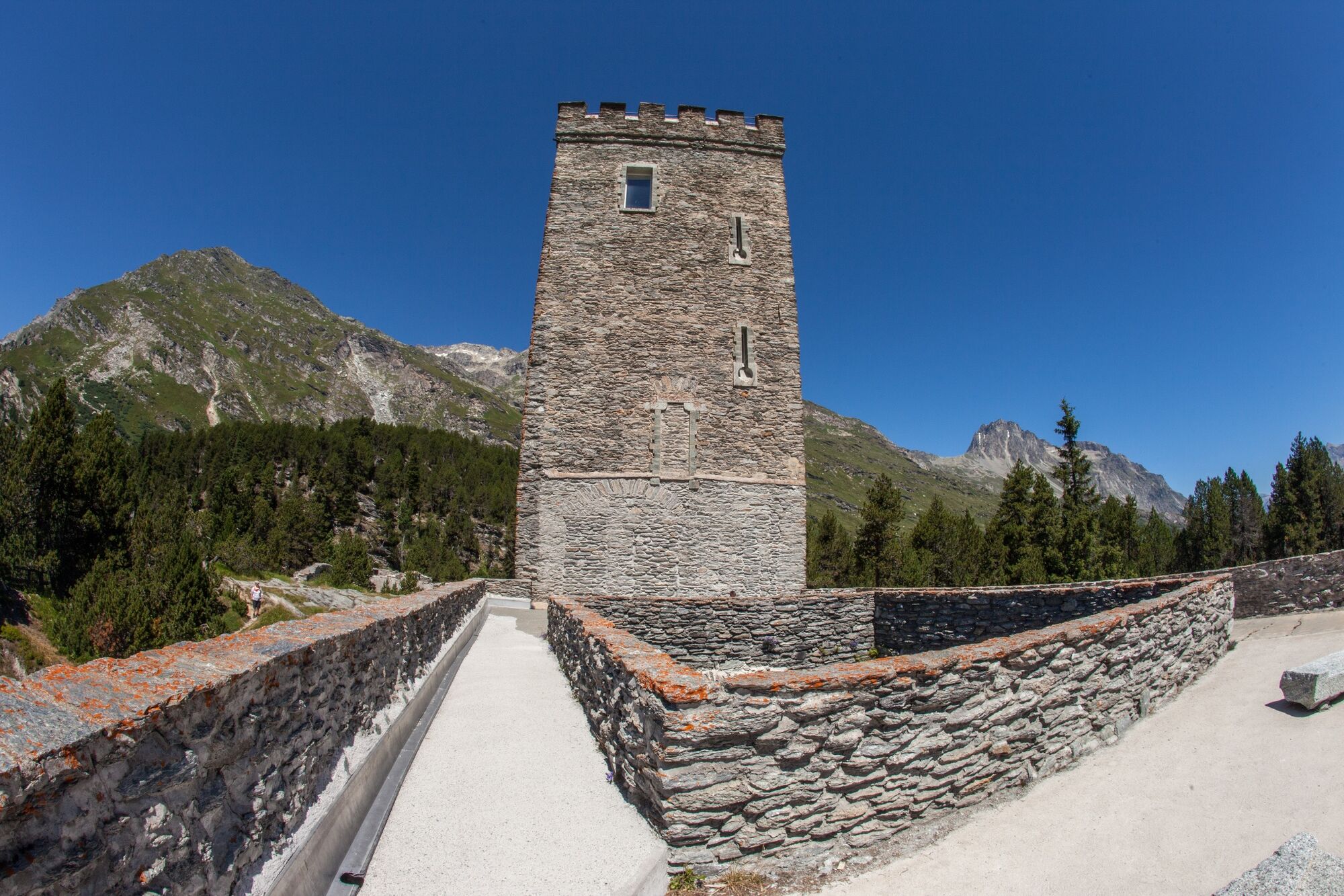
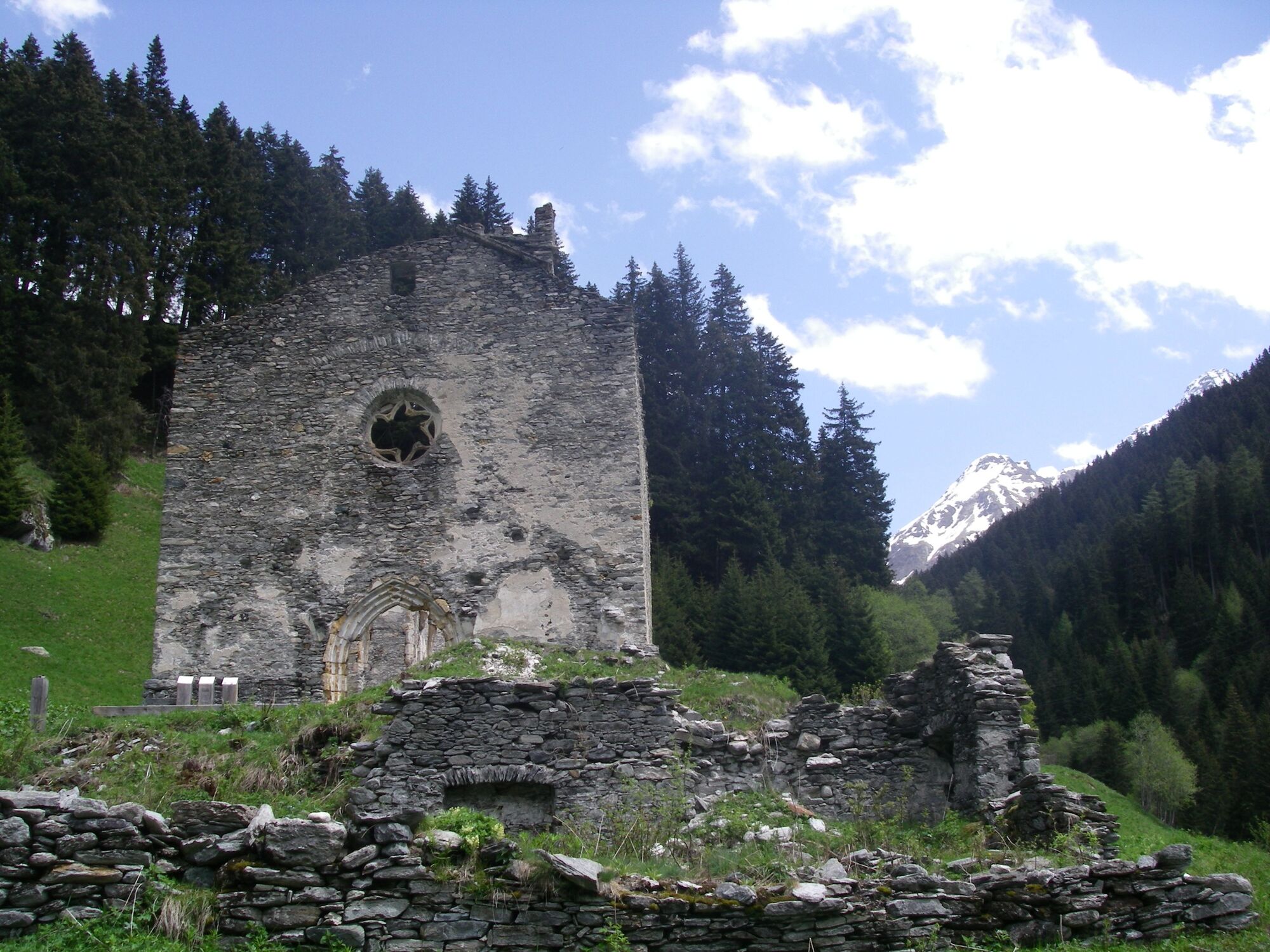
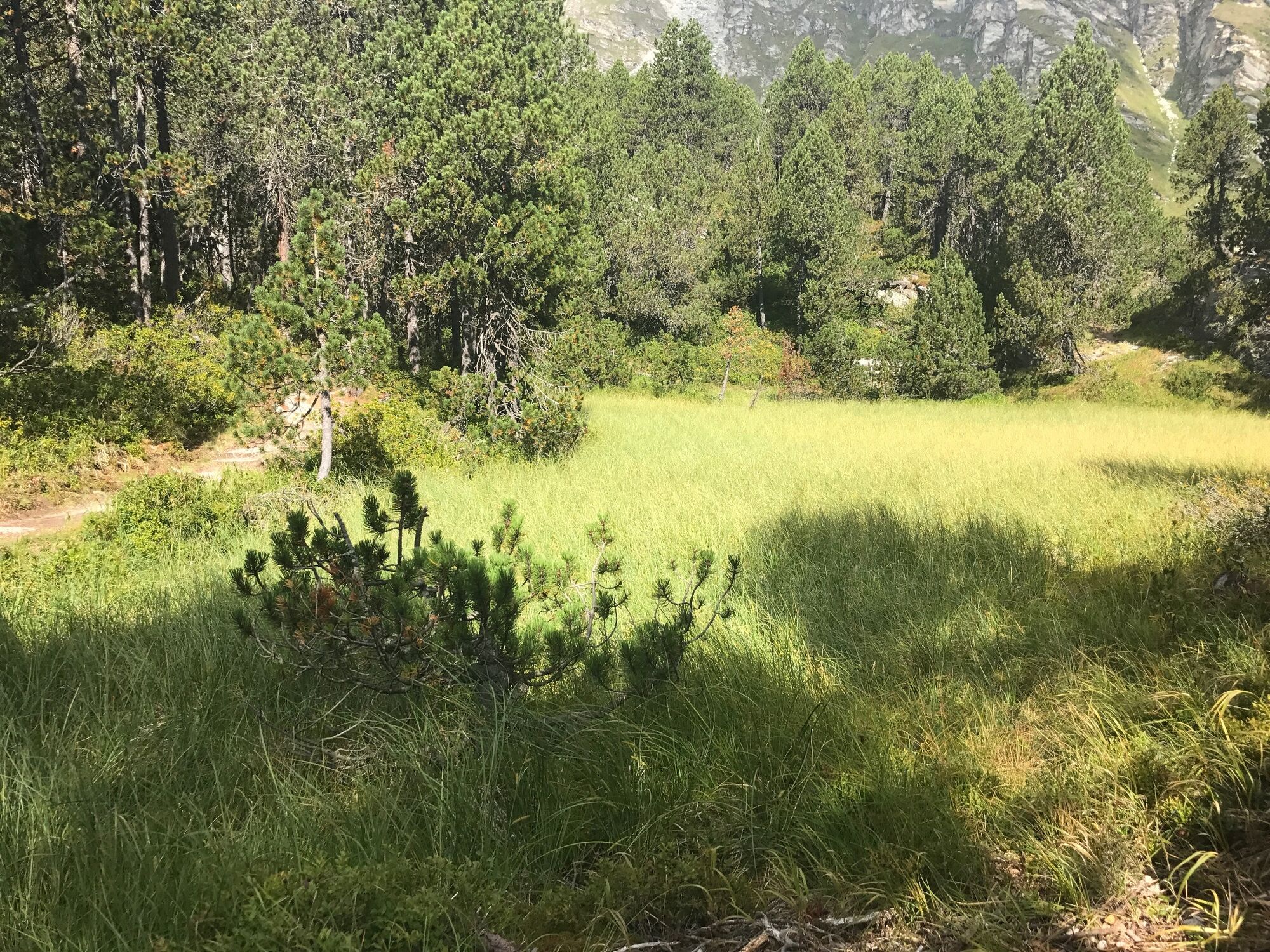
Historical crossing from Maloja to Casaccia, which was already used (and travelled) in Roman times.
- Difficulté
-
facile
- Évaluation
-
- Parcours
-
Maloja PostaSchweizerhausKirche St. Peter und Paul0,0 kmMaloja (1.809 m)0,1 kmCavril (1.551 m)1,7 kmCasaccia (1.458 m)3,6 km
- Meilleure saison
-
janv.févr.marsavrilmaijuinjuil.aoûtsept.oct.nov.déc.
- Hauteur maximale
- 1.810 m
- Point de mire
-
Casaccia
- Profil en hauteur
-
 © outdooractive.com
- Auteur
-
La randonnée Il Malögin est utilisé par outdooractive.com fourni par.
GPS Downloads


Autres parcours dans les régions
-
Veltlin / Valtellina
851
-
Val Bregaglia Engadin
468
-
Casaccia
202