© Region Surselva Tourismus

© Region Surselva Tourismus

© Region Surselva Tourismus

© Region Surselva Tourismus

© Region Surselva Tourismus

© Region Surselva Tourismus

© Region Surselva Tourismus

© Region Surselva Tourismus

© Region Surselva Tourismus
- Difficulté
-
moyen
- Évaluation
-
- Parcours
-
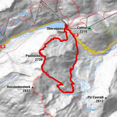
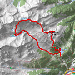
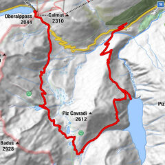
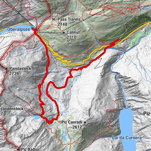
Tschamut0,5 kmGasthaus Piz Calmot10,4 kmPiz Calmot10,6 kmOberalppass (2.033 m)10,6 km
- Hauteur maximale
- 2.357 m
- Profil en hauteur
-
 © outdooractive.com
- Auteur
-
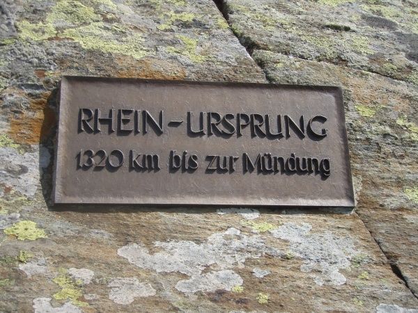
La randonnée Quellrheinweg A: Tomasee - Tschamut est utilisé par outdooractive.com fourni par.
GPS Downloads


Informations générales
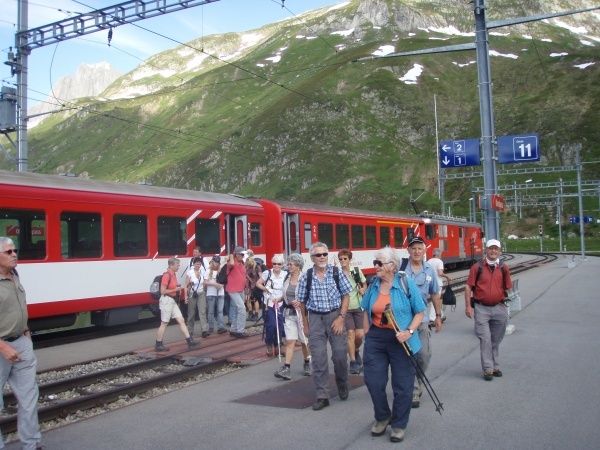
Point de rassemblement