
- Brève description
-
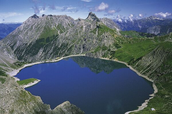
The political municipality of Landquart has existed in its present form since 1 January 2012, following the merger of the two former autonomous municipalities of Mastrils and Igis. Landquart is the municipality with the largest flat arable land in the canton of Graubünden.
- Difficulté
-
moyen
- Évaluation
-
- Parcours
-
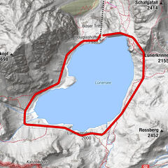
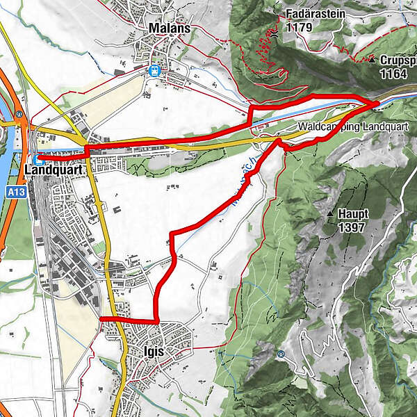
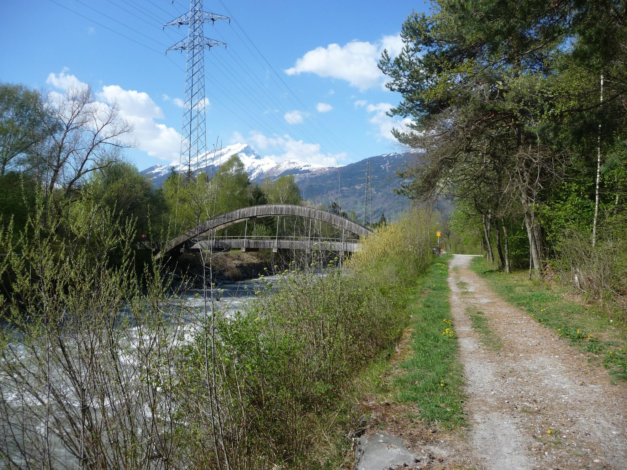
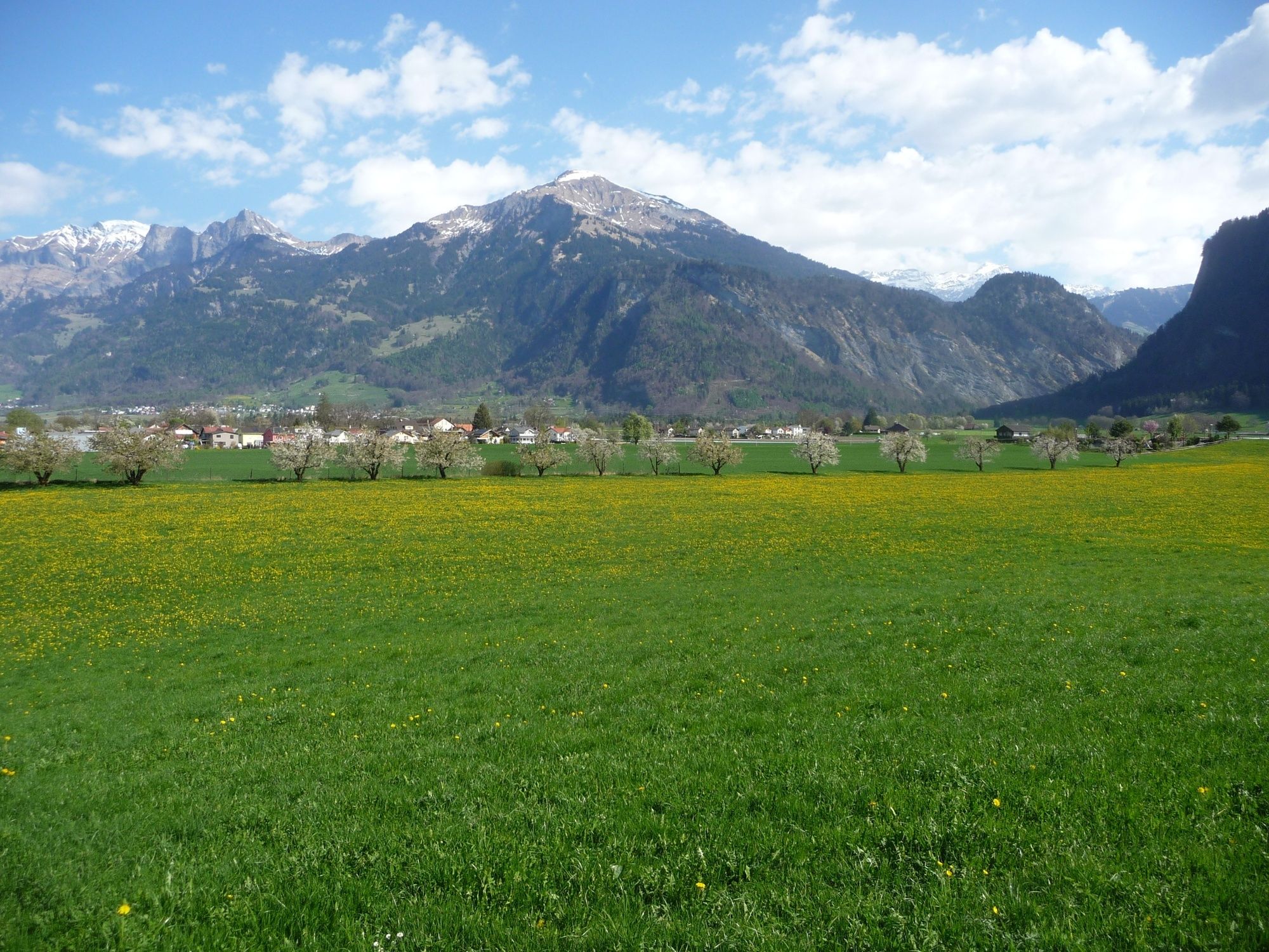
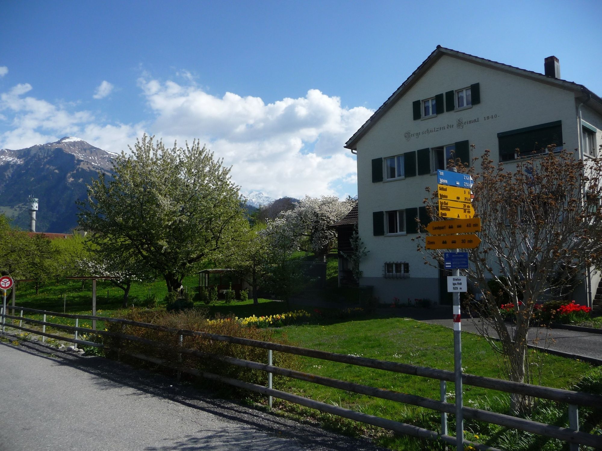
Igis (563 m)0,5 kmMühlihof1,7 kmGanda3,6 kmLandquart (563 m)9,6 kmLandquart (523 m)10,0 km
- Meilleure saison
-
janv.févr.marsavrilmaijuinjuil.aoûtsept.oct.nov.déc.
- Hauteur maximale
- 575 m
- Point de mire
-
Landquart, Bahnhof
- Profil en hauteur
-
 © outdooractive.com

- Auteur
-
La randonnée Igis - Ganda - Landquart est utilisé par outdooractive.com fourni par.
GPS Downloads


Autres parcours dans les régions
-
Heidiland
2201
-
Bündner Herrschaft
1202
-
Malans
187